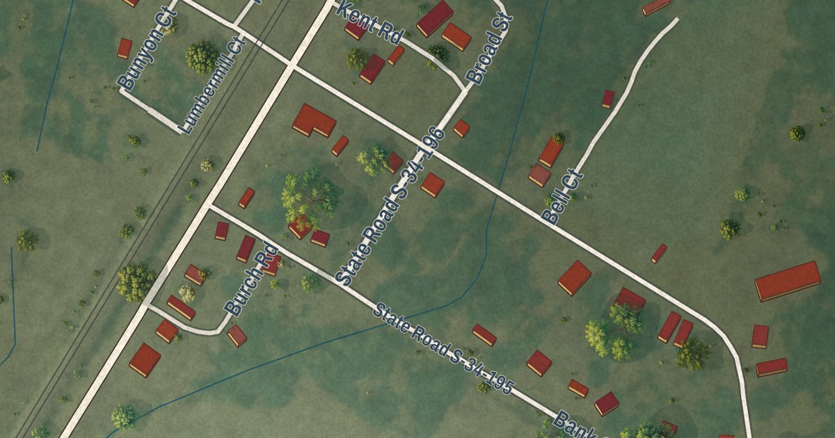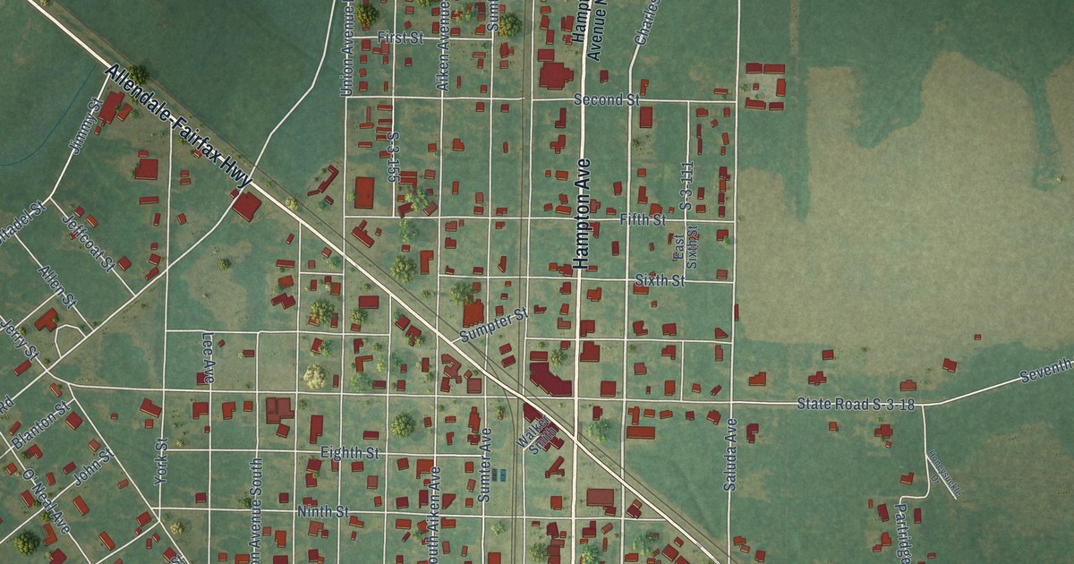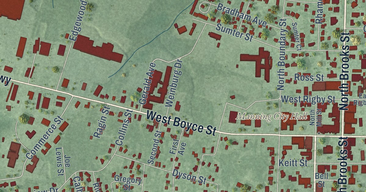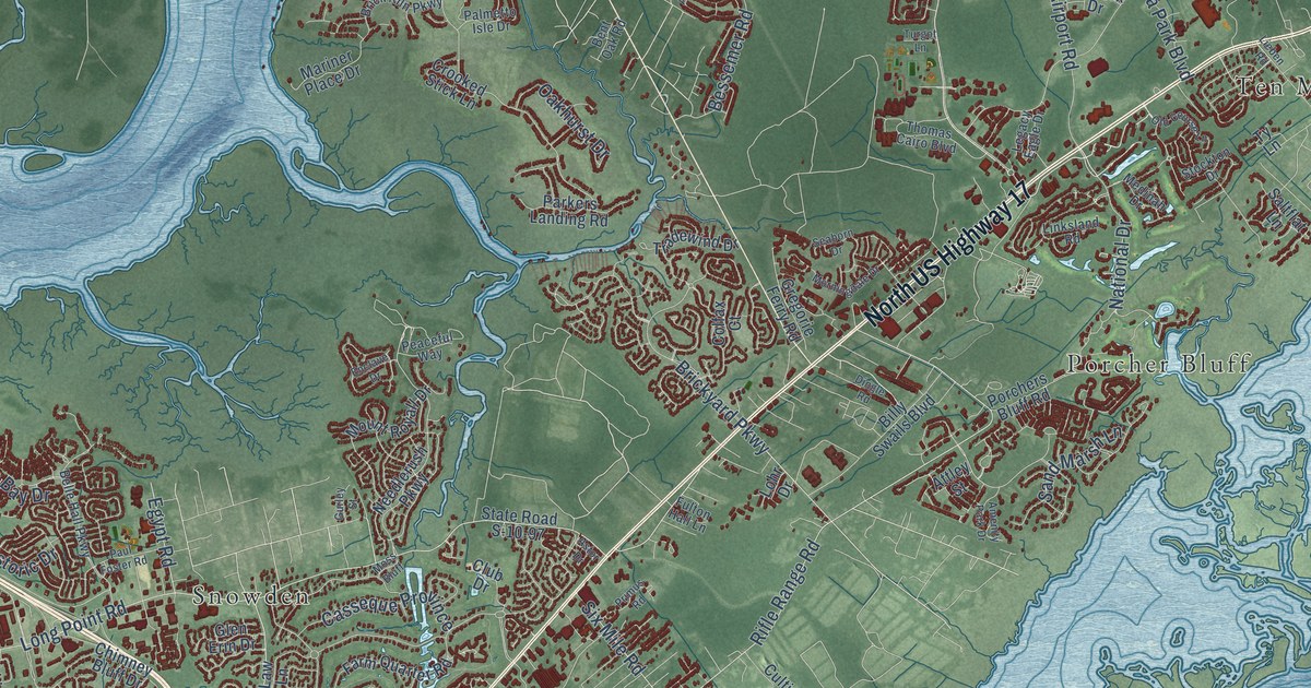
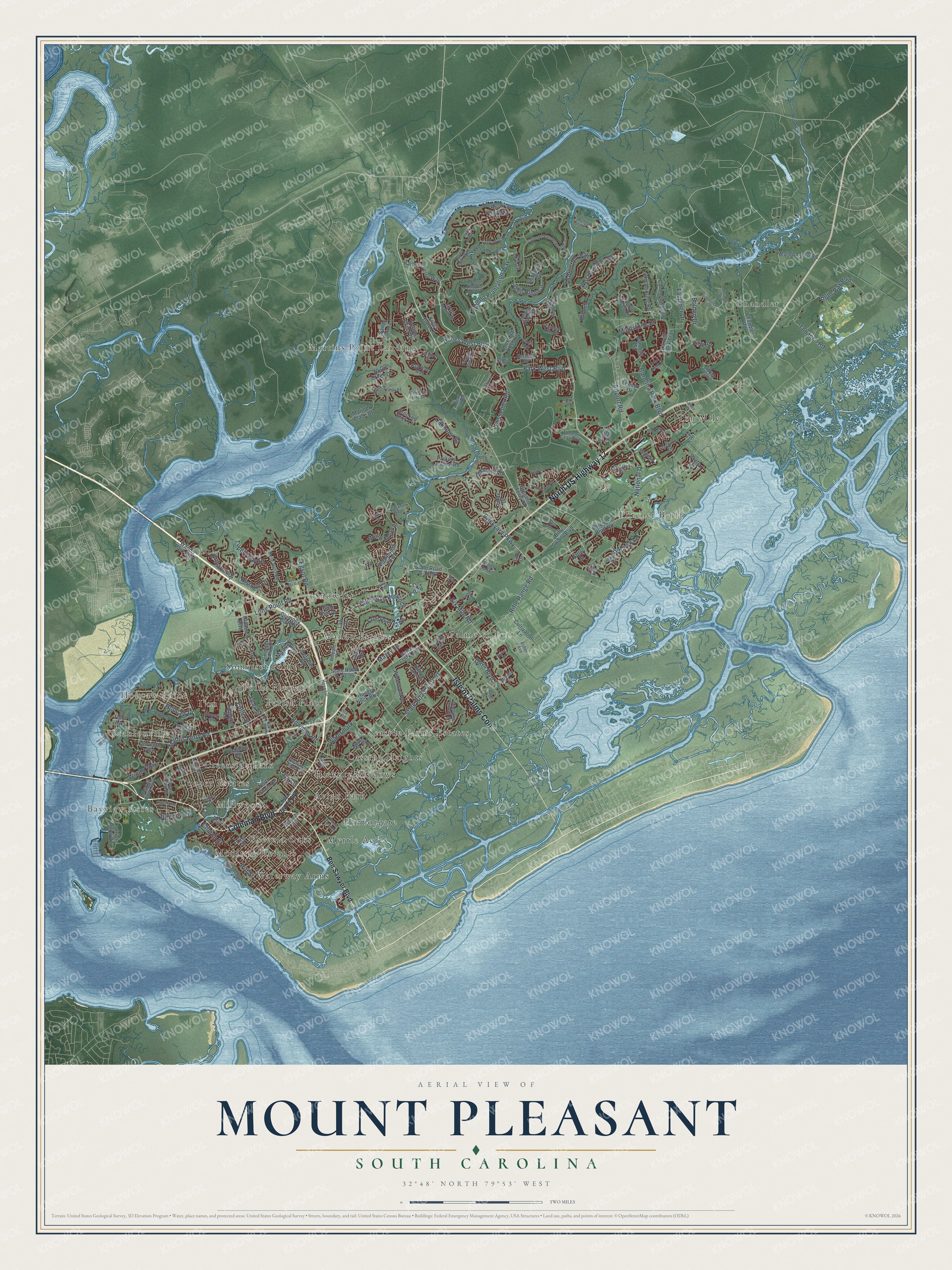
This beautifully detailed map of Mount Pleasant, South Carolina was created in 2026 using aerial imagery combined with modern topographical, census, street and landmark data. It’s a one-of-a-kind view of Mount Pleasant that combines accurate data with a vintage aesthetic. The map shows every building in its true location, many of the roads carry their names, and the shaded topographic relief shows the shape of the land.
Explore an aerial view of Mount Pleasant, South Carolina
On the map you’ll find Bayview Acres, Scanlonville, Hobcaw Point, Millwood, Avian Park, Cassina Heights, Chandler, Cooper Estates, Creekside Park, Harborgate, Hickory Shadows, I’on, and more. If you look closely you can even find your house accurately drawn in its correct location. Zoom in on the preview to look for yours.
Did you know this piece of Mount Pleasant, South Carolina history?
From Scencyclopedia.org: "In 1837 the villages of Mount Pleasant and Greenwich were combined and incorporated as the town of Mount Pleasant."
Take a closer look at the Mount Pleasant map
Street and place names on the Mount Pleasant, South Carolina map
These names are printed on the map of Mount Pleasant, South Carolina.
Places: Bayview Acres, Scanlonville, Hobcaw Point, Millwood, Avian Park, Cassina Heights, Chandler, Cooper Estates, Creekside Park, Harborgate, Hickory Shadows, I'on, Martins Point Landing, Moultrie Heights, Myrtle Acres, Osceola Oaks, Palmetto Fort, Parish Place, Point Pleasant, Porcher Bluff, Seaside Farms Estates, Snowden, Somerset Point, Ten Mile, Wando Estates and Waterway Arms.
Streets and roads: Coleman Boulevard, North US Highway 17, Isle of Palms Con, State Road S-10-51, Rifle Range Road, Park West Boulevard, Mathis Ferry Road, Wando Plantation Way, Hobcaw Drive, National Drive, Dunes West Boulevard, Bowman Road.
More street names, A to Z
Airport Road, Amenity Park Drive, Andover Way, Anna Knapp Boulevard, Appling Drive, Ashburton Way, Asher Avenue, Ashton Shore Lane, Astor Drive, Attley Street, Aztec Lane, Banning Street, Basildon Road, Bayview Drive, Belle Hall Parkway, Ben Sawyer Boulevard, Bent Oak Road, Bergeron Way, Bessemer Road, Billy Swails Boulevard, Bolden Drive, Brick Kiln Parkway, Brickyard Parkway, Bulls Bay Boulevard, Carolina Park Boulevard, Casseque Province, Chandler Road, Cherokee Rose Circle, Chimney Bluff Drive, Chuck Dawley Boulevard, Church Street, Club Drive, Colfax Court, Colonel Vanderhorst Circle, Commonwealth Drive, Cotton Creek Drive, Country Manor Drive, Crane Creek Drive, Crooked Stick Lane, Cultivation Lane, Darrell Creek Trail, Darts Cove Way, Delinger Drive, Detyens Road, Dingle Road, Downing Place Way, Dragoon Drive, Eagle Street, Eastlake Road, Egypt Road, Enclave Drive, Farm Quarter Road, Faulkner Drive, Fifle Street, Fishermans Bend, Fulton Hall Lane, Glen Erin Drive, Grass Marsh Drive, Gregorie Ferry Road, Grey Marsh Road, Gurley Street, Harpers Ferry Way, Hawthorne Street, Hidden Boulevard, Hidden Lakes Drive, Historic Drive, Hobcaw Bluff Drive, Home Farm Road, Hospital Drive, Houston Northcutt Boulevard, Hubbell Drive, Hungry Neck Boulevard, Ira Road, Kiln Court, Kings Gate Lane, King Street, Lakeview Drive, Lansing Drive, Lauda Drive, Law Lane, Lazy Lane, Legacy Eagle Drive, Lennox Drive, Lieben Road, Linksland Road, Lohr Drive, Long Point Road, Lyle Way, Magnolia Woods Drive, Maidstone Drive, Manor Lane, Mariner Place Drive, Market Centre Boulevard, Mazzy Lane, McCants Drive, McGrath Darby Boulevard, Medinah Drive, Midden Drive, Mill Street, Morningdale Drive, Moss Bluff, Mount Royall Drive, Needlerush Parkway, North Creek Drive, North Shem Drive, Oakhurst Drive, Old Course Lane, Omni Boulevard, Palmetto Hall Boulevard, Palmetto Isle Drive, Parkers Landing Road, Patriots Point Road, Paul Foster Road, Peaceful Way, Pelzer Drive, Pignatelli Crescent, Pitt Street, Pleasant Pines Street, Porchers Bluff Road, Primus Road, River Vista Way, Robin Road, Saint Ellens Drive, Saltflat Lane, Salt Wind Way, Sand Marsh Lane, Sandy Point Lane, Seaborn Drive, Seventh Avenue, Sewee Fort Road, Shagbark Circle, Shell Ring Circle, Six Mile Road, Skyler Drive, Sonja Way, Sowell Street, Spark Street, State Road S-10-56, State Road S-10-97, Stockton Drive, Sugar Cane Way, Summerton Street, Third Avenue, Thomas Cairo Boulevard, Tobacco Road, Toomer Kiln Circle, Tradewind Drive, Tupelo Bay Drive, Tupelo Forest Drive, Turgot Lane, Turnstone Street, Ty Lane, Wando Farms Road, Wando Park Boulevard, Waterfront Drive, Watermark, West Canning Drive, Whipple Road, Wingo Way, Woodspring Road, Yachtsman Drive.
See the Mount Pleasant, South Carolina map on a wall
The Mount Pleasant map as an 18 x 24 inch print in a black frame.

This beautifully detailed map of Mount Pleasant makes an attractive addition to your office, library, or den, and it can even be used to teach children the geography and history of the area. It also makes a great gift for anyone with Mount Pleasant roots. When you’re done exploring, click here to get your copy of the Mount Pleasant map.