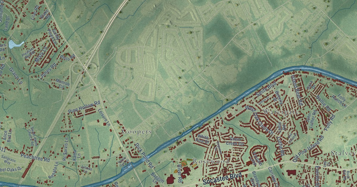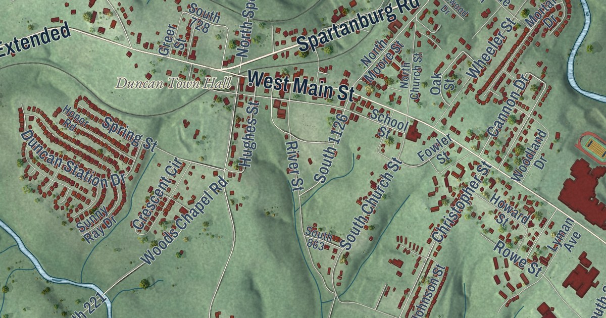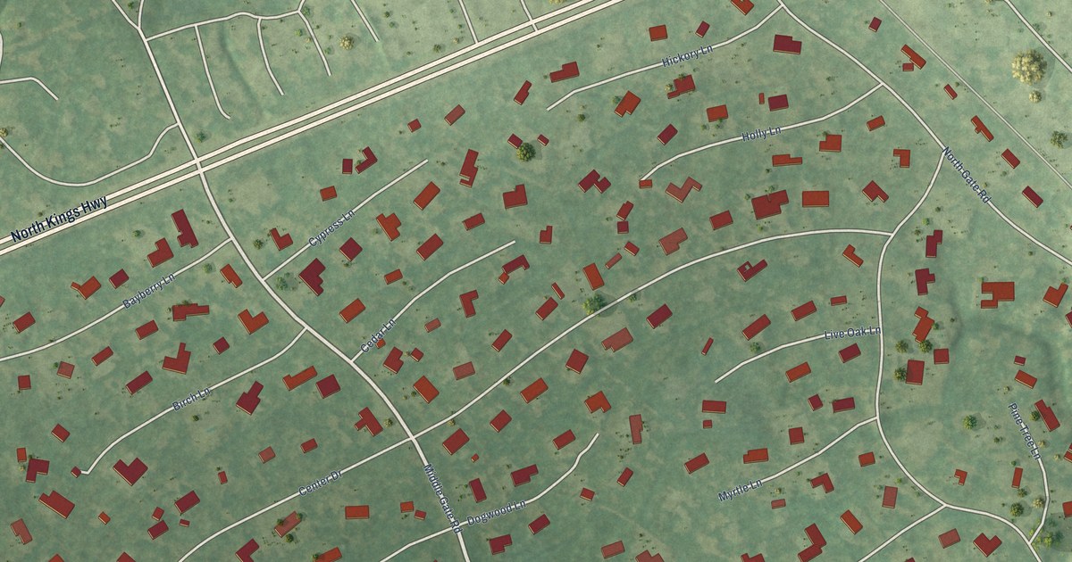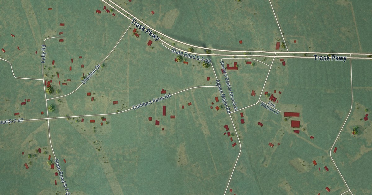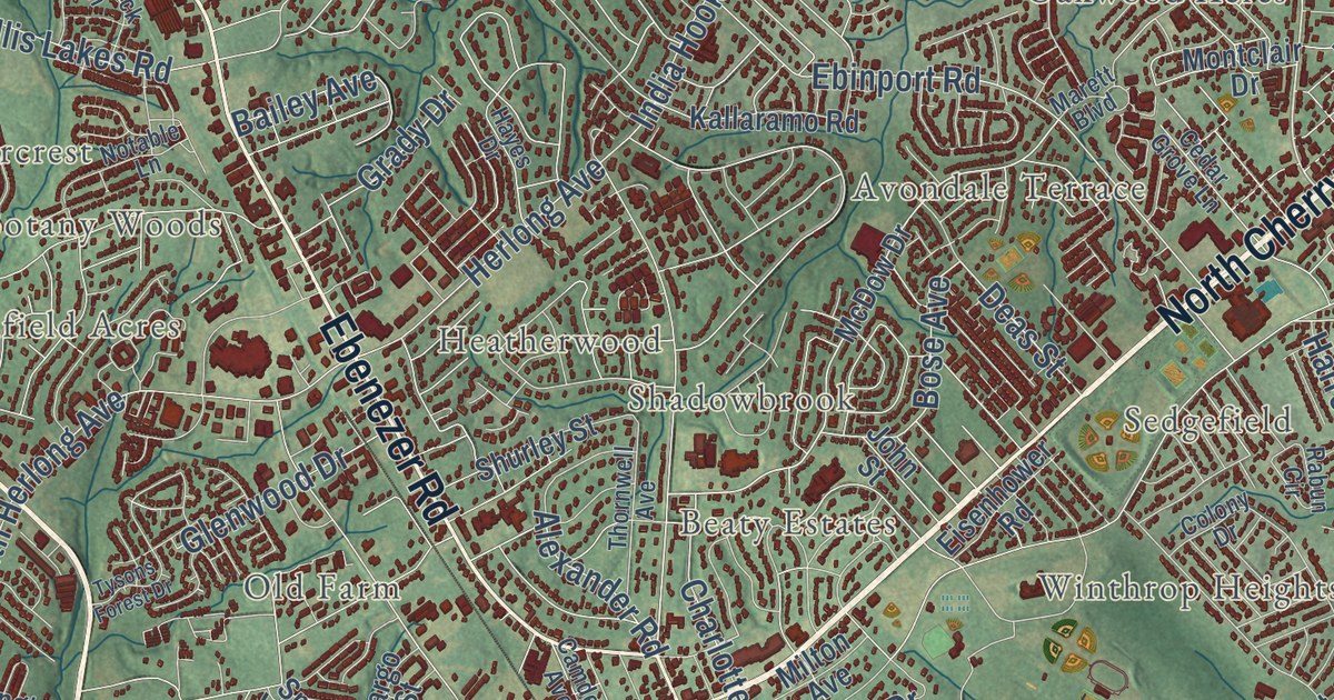
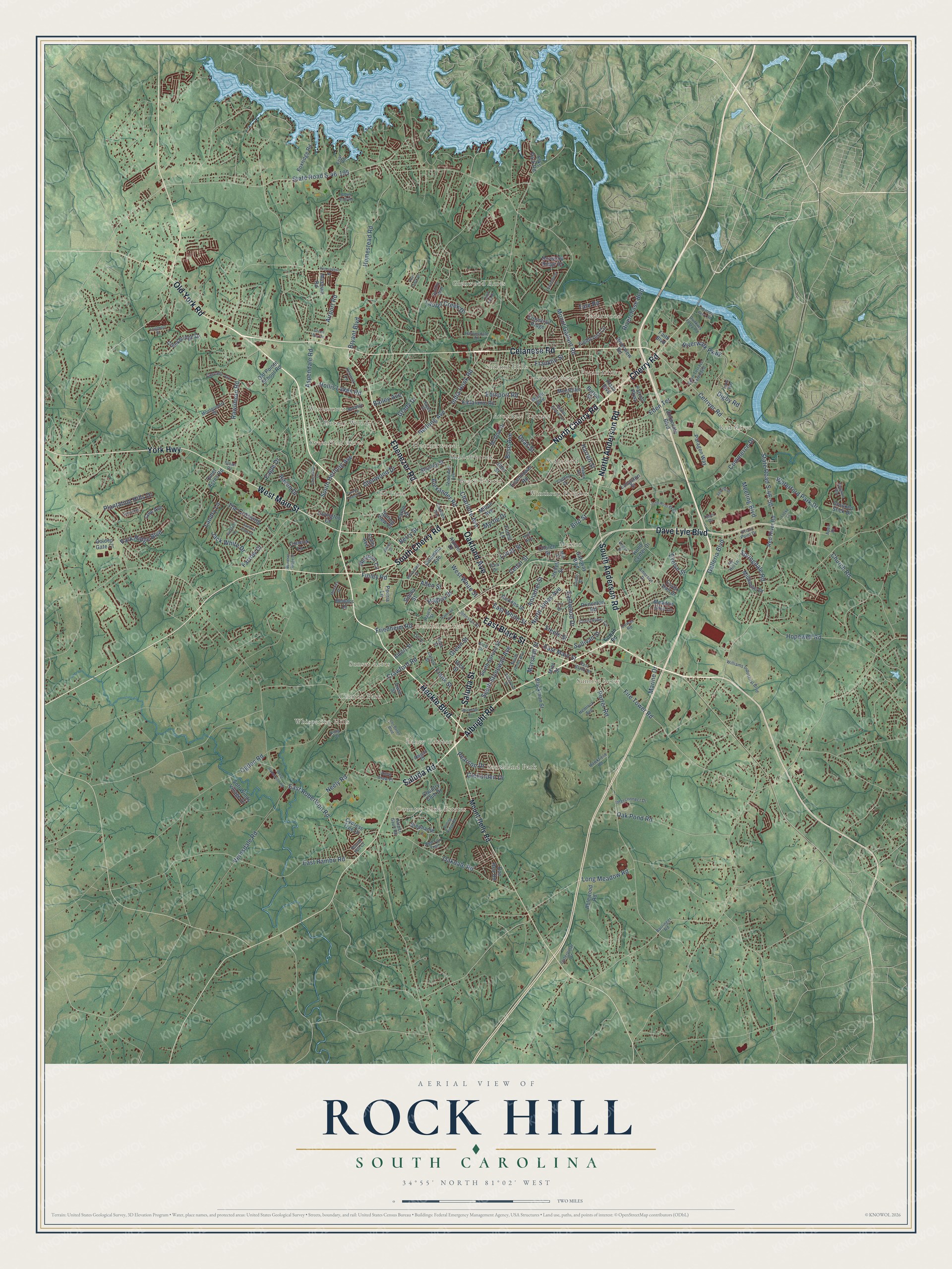
This beautifully detailed map of Rock Hill, South Carolina was created in 2026 using aerial imagery combined with modern topographical, census, street and landmark data. It’s a one-of-a-kind view of Rock Hill that combines accurate data with a vintage aesthetic. The map shows every building in its true location, many of the roads carry their names, and the shaded topographic relief shows the shape of the land.
Explore an aerial view of Rock Hill, South Carolina
On the map you’ll find Beaty Estates, Belle Meade, Botany Woods, Boyd Hill, Cedar Grove Park, Cedarwood, Clinton Park, College Farms, Ebenezer, Flint Hill, and Glenwood Acres, along with Avondale Terrace, and more. If you look closely you can even find your house accurately drawn in its correct location. Zoom in on the preview to look for yours.
Did you know this piece of Rock Hill, South Carolina history?
From Scencyclopedia.org: "In 1986 Betty Jo Rhea, a former councilwoman, became Rock Hill’s first woman mayor."
Take a closer look at the Rock Hill map
Street and place names on the Rock Hill, South Carolina map
These names are printed on the map of Rock Hill, South Carolina.
Places: Rock Hill City Hall, Cedarwood, Country Club Estates, Winthrop Heights, Sunset Acres, Shiland Hills, Red River, Southland Park, Sunrise Acres, Whispering Hills, Glenwood Acres, Beaty Estates, Pecan Grove, Mexico, Wintercrest, Avondale Terrace, Oakwood Acres, Clinton Park, Laney Terrace, Old Farm, Heatherwood, Sedgefield, Greenfield Acres, Shadowbrook and Botany Woods.
Streets and roads: West Main Street, Celanese Road, Ebenezer Road, Albright Road, Old York Road, East Black Street, South Cherry Road, North Cherry Road, South Anderson Road, Heckle Boulevard, Cherry Road, Oakland Avenue.
More street names, A to Z
Abigail Court, Ablewood Road, Airport Road, Albert Street, Alexander Road, Allen Street, Alumni Drive, Amerson Drive, Annafrel Street, Anvil Draw Place, Apex Drive, Arch Drive, Aspendale Road, Bailey Avenue, Barringer Road, Berry Street, Bird Street, Blackmon Street, Bon Rea Road, Bose Avenue, Bryant Boulevard, Burton Street, Camden Avenue, Carroll Street, Cascade Avenue, Caterpillar Drive, Cavendale Drive, Cedar Grove Lane, Cedar Street, Celriver Road, Charlotte Avenue, Christopher Circle, Church Road, Church Street, Colby Avenue, Cole Avenue, Colony Drive, Columbia Avenue, Colwick Lane, Commerce Drive, Corporate Boulevard, Country Club Drive, Cowan Road, Crawford Road, Creek Bluff Road, Creekbridge Drive, Crooked Stick Drive, Cross Point Drive, Crosstrail Ridge, Cureton Drive, Cypress Tree Drive, Dave Lyle Boulevard, Deas Street, Deer Track Drive, Dewars Drive, Digby Road, Dunkins Ferry Road, Durant Drive, Eagle Drive, East Main Street, East Rambo Road, East Robertson Road, East White Street, Eastwood Drive, Ebinport Road, Eden Terrace, Eden Terrace Extended, Eisenhower Road, Elks Park Road, Essex Hall Drive, Evelyn Street, Faith Boulevard, Fargo Street, Farrow Drive, Fieldcrest Circle, Finley Road, Fire Tower Road, Forest Lane, Foxridge Road, Franklin Street, Frank Street, Friar Road, Friedheim Road, Galleria Boulevard, Gateway Boulevard, Glenarden Drive, Glenn Street, Glenwood Drive, Golden Gate Court, Grady Drive, Green Bay Drive, Green Street, Hagins Street, Harlinsdale Drive, Harper Gault Road, Harrell Street, Hawkfield Road, Hayes Drive, Hemlock Avenue, Herlong Avenue, Herrons Ferry Road, Hollis Lakes Road, Homestead Road, Hood Center Drive, Hopewell Road, Hull Avenue, India Hook Road, Interconnect Drive, Iredell Street, Iris Circle, Irwin Street, Ivy Hill Lane, Jack White Drive, John Ross Parkway, Johnston Street, John Street, Kallaramo Road, Keiger Street, Keswick Lane, King Drive, Land Fall Drive, Landry Lane, Langston Street, Laurel Creek Drive, Lavington Court, Locke Lane, Longhorn Drive, Long Meadow Road, Lucas Street, Luray Way, Marett Boulevard, Marine Drive, Marshall Street, McDow Drive, McFadden Street, Meadow Glen Lane, Meeting Boulevard, Menzies Drive, Millhouse Drive, Mill Street, Milton Avenue, Mint Street, Montclair Drive, Montgomery Drive, Mount Gallant Road, Mount Holly Road, Museum Road, Myrtle Drive, Neely Road, North Anderson Road, North Jones Avenue, Norwood Ridge Drive, Notable Lane, Oakdale Road, Oak Pond Road, Ogden Road, Old Pointe School Road, Orr Drive, Paragon Way, Park Drive, Park Ridge Boulevard, Patriot Parkway, Paxton Street, Pearson Drive, Pennington Road, Peoria Lane, Pickens Street, Plantation Hills Drive, Plaza Boulevard, Porter Road, Princeton Road, Quiet Acres Road, Quinby Way, Rabun Circle, Railroad Avenue, Rauch Street, Raven Drive, Rawlinson Road, Red Fox Trail, Red River Road, Rich Street, Riverchase Boulevard, Riverview Road, Riverwalk Parkway, Rockdale Street, Rock Street, Rockwood Drive, Rolling Ridge Road, Round Hill Court, Saluda Road, Saluda Street, Sebring Drive, Shurley Street, Sidney Street, Sloan Drive, Soft Winds Village Drive, South Herlong Avenue, South Jones Avenue, South Spruce Street, South Stonewall Avenue, Springdale Road, Spring View Court, Spyglass Way, State Road S-46-50, State Road S-46-195, Steele Street, Stephanie Lane, Sullivan Street, Summit View Drive, Sweetbriar Lane, Tabor Drive, Tate Road, The Crossing, Thornwell Avenue, Tysons Forest Drive, Vernsdale Road, Von Buren Boulevard, Waterford Park Drive, Westover Circle, West Robertson Road, West White Street, Williams Industrial Boulevard, Windsor Ridge Drive, York Highway.
See the Rock Hill, South Carolina map on a wall
The Rock Hill map as an 18 x 24 inch print in a black frame.

This beautifully detailed map of Rock Hill makes an attractive addition to your office, library, or den, and it can even be used to teach children the geography and history of the area. It also makes a great gift for anyone with Rock Hill roots. When you’re done exploring, click here to get your copy of the Rock Hill map.