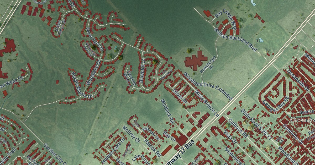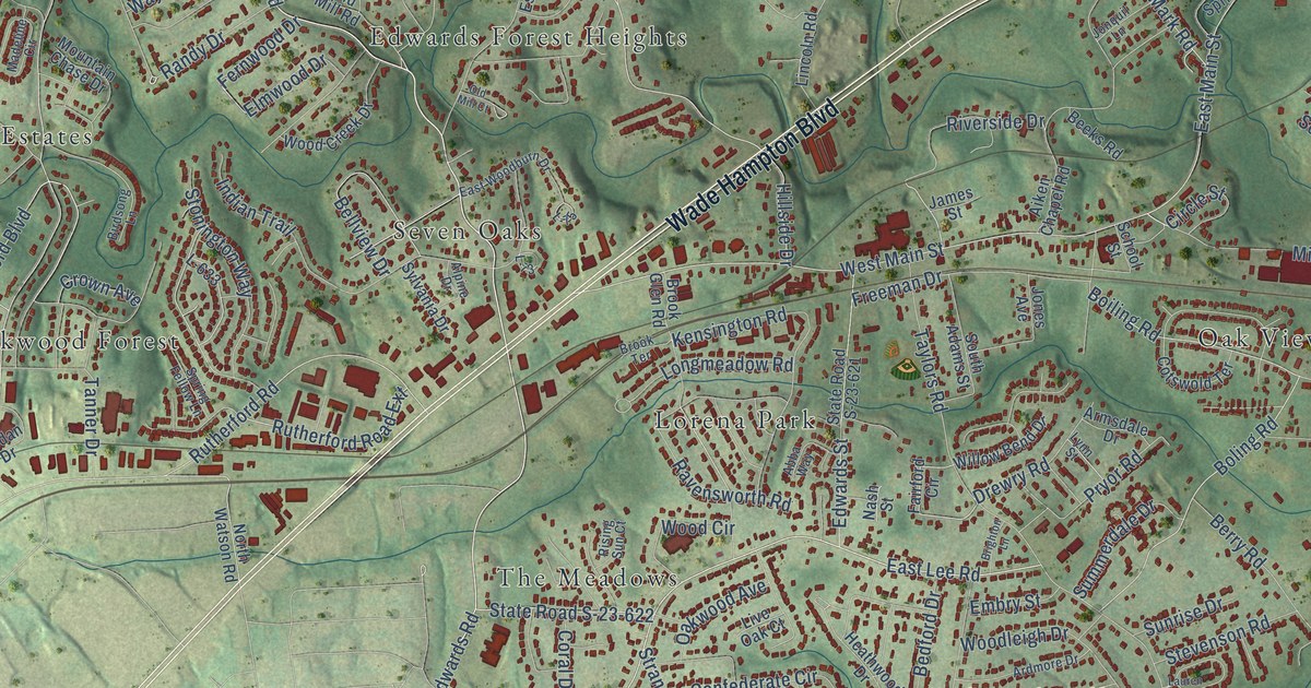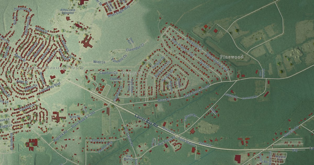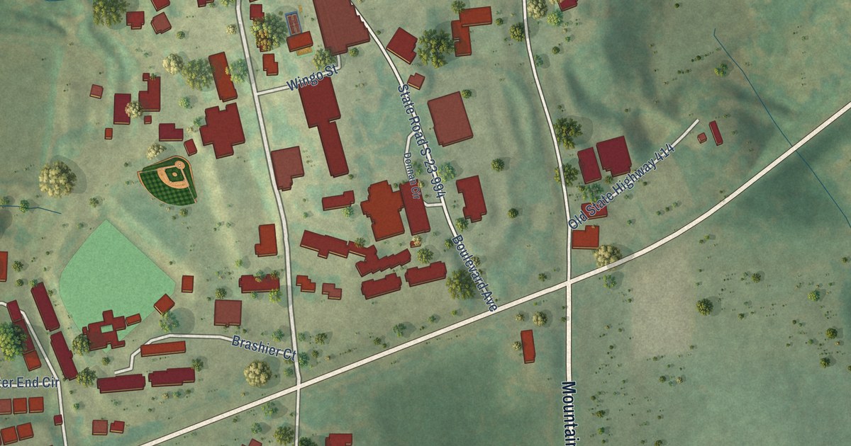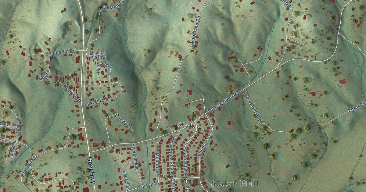
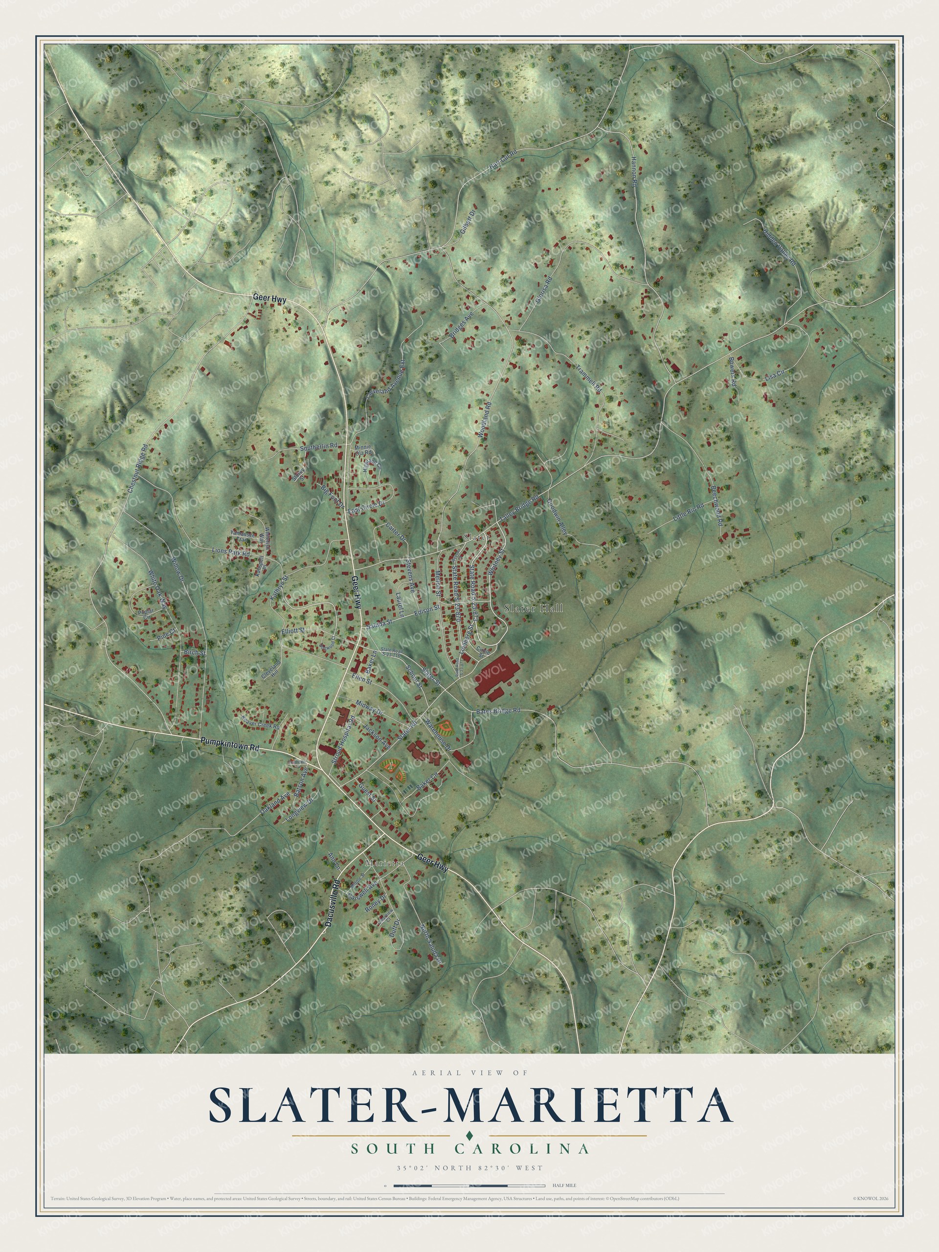
This beautifully detailed map of Slater-Marietta, South Carolina was created in 2026 using aerial imagery combined with modern topographical, census, street and landmark data. It's a modern aerial view of Slater-Marietta in Greenville County, South Carolina, that combines modern data with a vintage aesthetic. The roads feature printed names, and if you look closely you can find your exact house accurately shown in its correct location.
Explore an aerial view of Slater-Marietta, South Carolina
On this map you'll find Slater Hall, Marietta, Slater, Geer Highway, Pumpkintown Road, Dacusville Road, Lions Park Road, Whitney Street, State Road S-23-873, Cleveland Avenue Extension, Talley Bridge Road, Chestnut Ridge Road, and more. Each red shape is a building, so zoom in on the preview and look for yours.
Slater-Marietta is a community in Greenville County. The Census Bureau counted 2,087 people here in 2020. Slater-Marietta sits about 6 miles northwest of Travelers Rest, 7 miles west of Tigerville and 8 miles southwest of The Cliffs Valley. The map prints the town name in its title panel, with the coordinates below it.
Take a closer look at the Slater-Marietta map
Names on this map
These names are printed on this map.
Places: Slater Hall, Marietta and Slater.
Streets and roads: Geer Highway, Pumpkintown Road, Dacusville Road, Lions Park Road, Whitney Street, State Road S-23-873, Cleveland Avenue Extension, Talley Bridge Road, Chestnut Ridge Road, Hart Cut Road, Woodland Road, Hannon Road.
More street names, A to Z
Ann Lane, Baker Circle, Baker Lane, Bates Bridge Road, Batson Avenue, Beaver Creek Road, Beechwood Road, Big Foot Drive, Birch Street, Bowers Road, Bridges Avenue, Carswell Avenue, Carter Drive, Circle Street, Clearview Court, Cleveland Hill, Dogwood Court, Duff Drive, East Circle Drive, Edison Street, Ellen Street, Elliott Street, Gilbert Drive, Glorisa Road, Goodwin Alley, Guest Street, Hidden Valley Road, Highland Circle, Jackson Avenue, Kalispell Place, Kathryn Street, Laurel Lane, Lindberg Street, Lisa Circle, Little Rio Road, Longview Drive, Mellon Street, Middle Street, Midway Drive, Minnie Ola Road, North Saluda Drive, Oakland Avenue, Pine Court, Poplar Circle, Roney Drive, Saluda Street, School Street, Slater Road, Slater Street, Southerlin Lane, Southerlin Road, State Road S-23-716, State Road S-23-870, State Road S-23-871, Stevens Avenue, Storey Street, Stroud Hospital Road, Trammell Road, Warehouse Drive, Webster Street, Whitefish Way, White Oak Way, Willow Drive, Yamassee Trail.
See it on a wall
The Slater-Marietta map as a framed print. Swipe for more.


Created by KNOWOL in 2026. The buildings are small red shapes, the roads carry their printed names, and shaded relief shows the shape of the land. The title panel reads "AERIAL VIEW OF SLATER-MARIETTA, SOUTH CAROLINA" with 35°02' NORTH 82°30' WEST.
It looks right in a kitchen, an office or a den, and it's a gift for anyone who grew up in Slater-Marietta or moved away. Open the preview and find your street. See sizes and frames for the Slater-Marietta map.