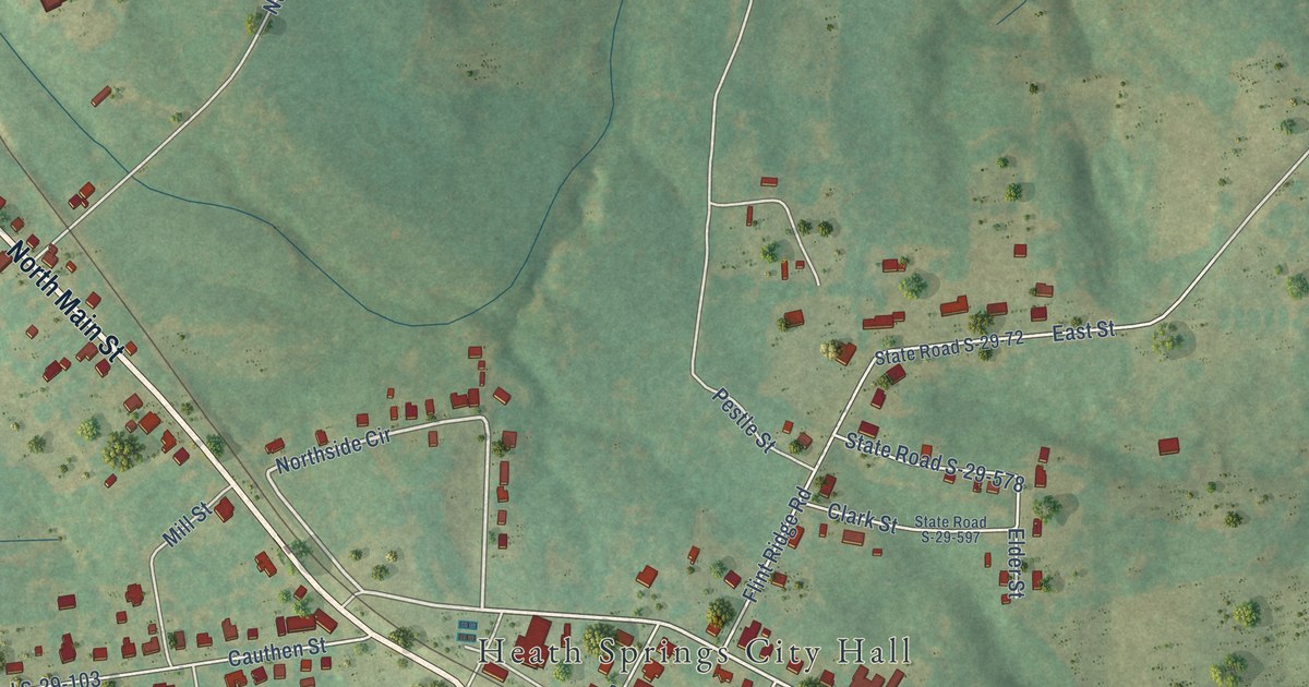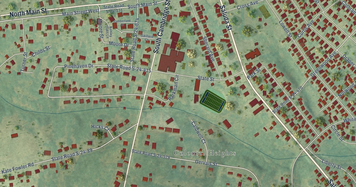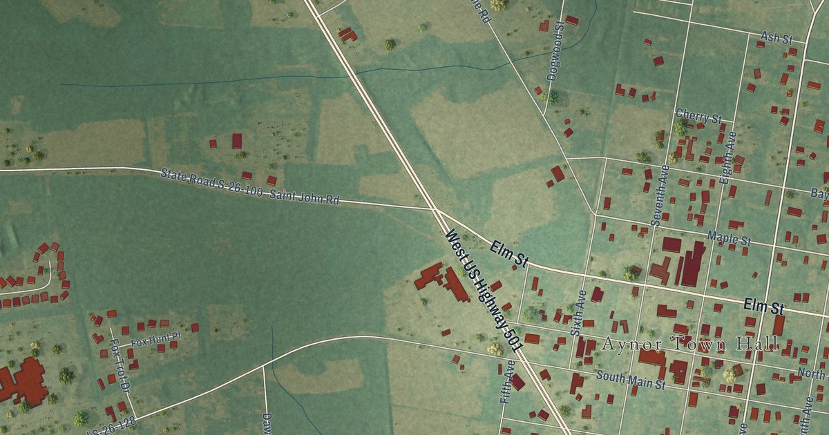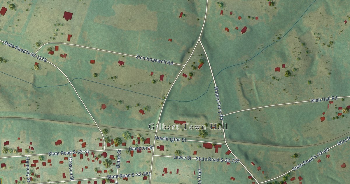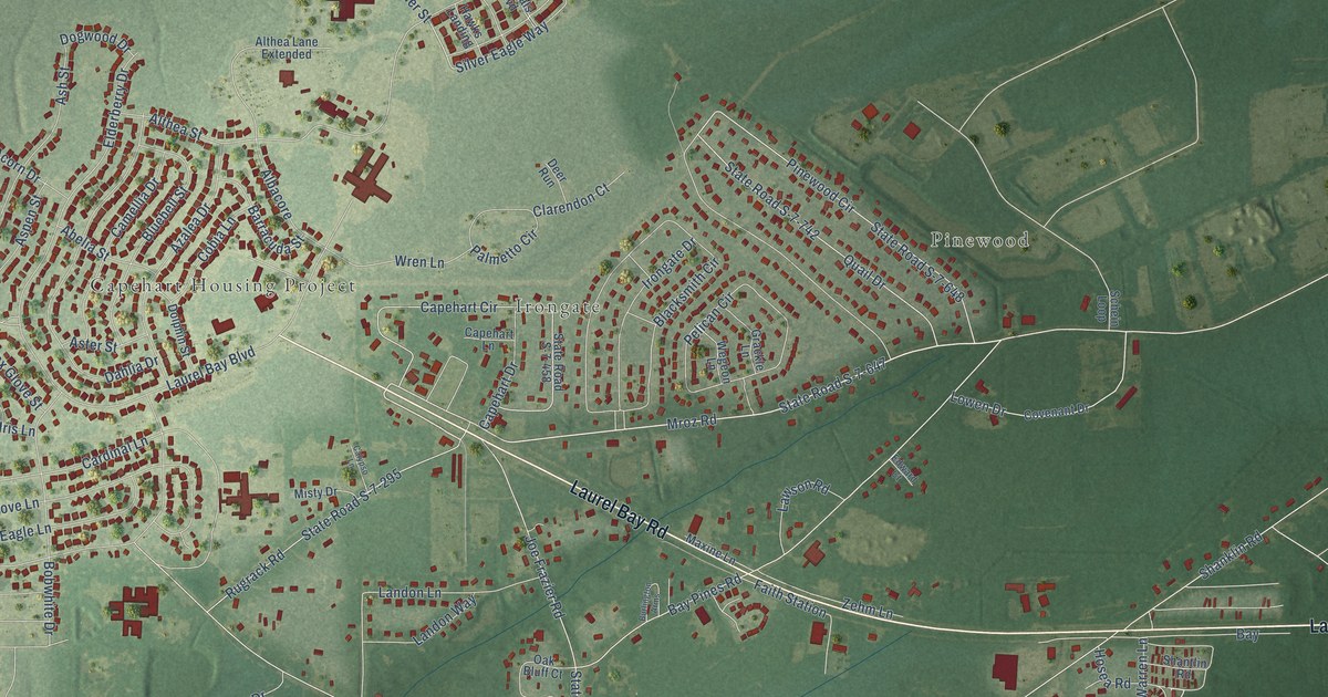
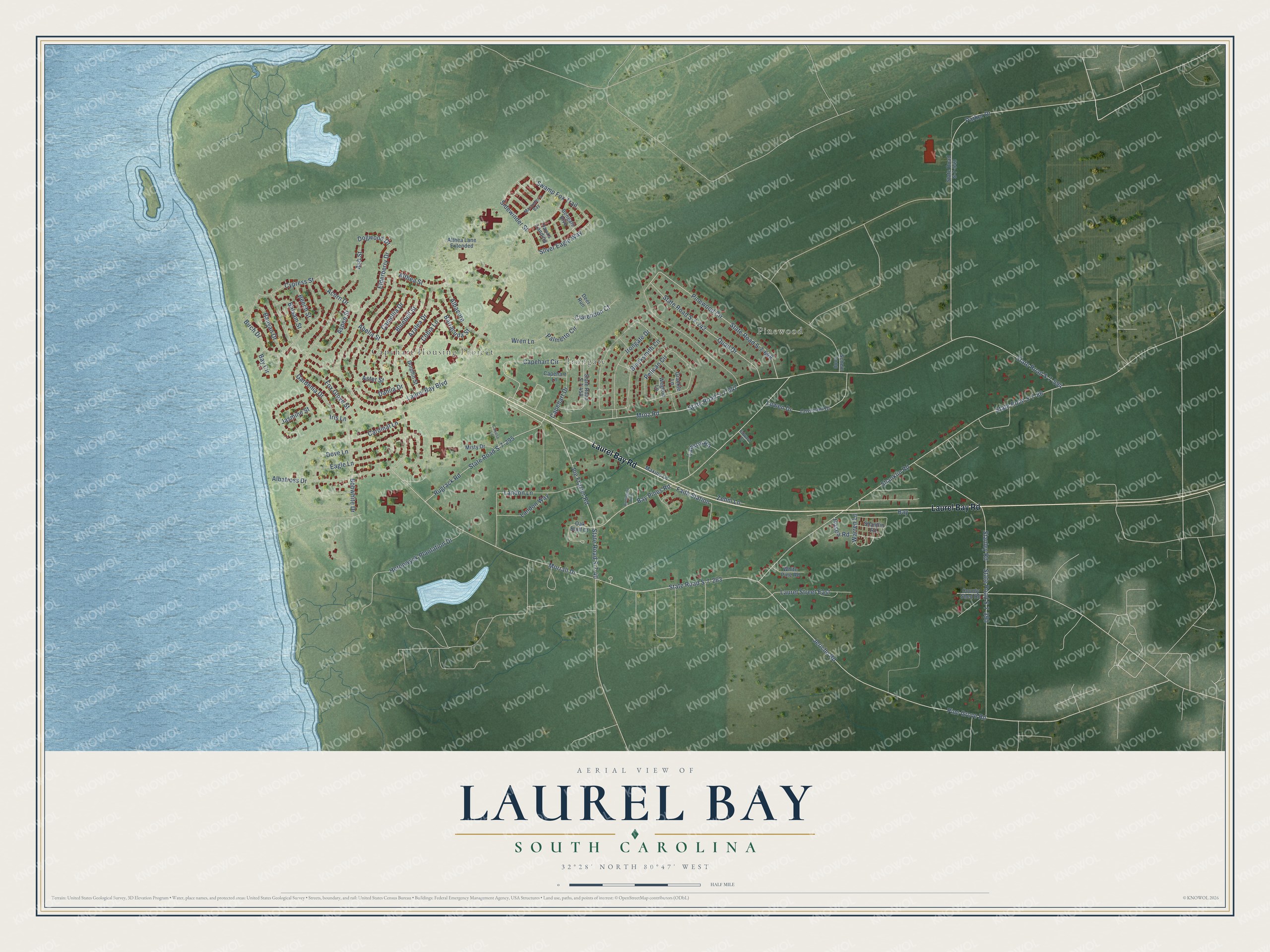
This beautifully detailed map of Laurel Bay, South Carolina was created in 2026 using aerial imagery combined with modern topographical, census, street and landmark data. It's a modern aerial view of Laurel Bay in Beaufort County, South Carolina, that combines modern data with a vintage aesthetic. The roads feature printed names, and if you look closely you can find your exact house accurately shown in its correct location.
Explore an aerial view of Laurel Bay, South Carolina
On this map you'll find Capehart Housing Project, Pinewood, Irongate, Laurel Bay Road, Barracuda Street, Mroz Road, State Road S-7-263, Bay Pines Road, State Road S-7-594, Jericho Road, Pine Grove Road, Shanklin Road, and more. Each red shape is a building, so zoom in on the preview and look for yours.
Every town has a first chapter, and Laurel Bay is no exception. The Laurel Bay Family Housing puts it this way: "Legacy Laurel Bay's historic and most diverse community includes the neighborhoods of Ashepoo Shores, Combahee Landing, and Edisto Woods with 966 renovated classic 1960 military ranchers in a variety of two, three, and four-bedroom floorplans."
Laurel Bay is a community in Beaufort County. The Census Bureau counted 5,082 people here in 2020.
Take a closer look at the Laurel Bay map
Names on this map
These names are printed on this map.
Places: Capehart Housing Project, Pinewood and Irongate.
Streets and roads: Laurel Bay Road, Barracuda Street, Mroz Road, State Road S-7-263, Bay Pines Road, State Road S-7-594, Jericho Road, Pine Grove Road, Shanklin Road, State Road S-7-86, Laurel Bay Boulevard, Pinewood Circle.
More street names, A to Z
Abelia Street, Acorn Drive, Albacore, Albatross Drive, Althea Lane Extended, Althea Street, Ash Street, Aspen Street, Aster Street, Azalea Drive, Balsam Street, Banyan Drive, Bay, Bay Circle, Beech Street, Bengals Boulevard, Birch Drive, Blacksmith Circle, Bluebell Street, Bobwhite Drive, Burlington Arms, Calypso Lane, Camellia Drive, Capehart Circle, Capehart Drive, Capehart Lane, Cardinal Lane, Clarendon Court, Cobia Lane, County Shed Road, Covenant Drive, Cypress Street, Dahlia Drive, Deer Run, Dogwood Drive, Dolphin Street, Dove Lane, Eagle Lane, Edward Court, Elderberry Drive, Faith Station, Fox Glove Street, Gardenia Drive, Grackle Lane, Hawks Landing, Heronwyck Plantation Drive, Hosea Road, Iris Lane, Irongate Drive, Jasmine Street, Joe Frazier Road, Landon Lane, Landon Way, Laurel Street East, Lawson Road, Lowen Drive, Marauder's Bay, Maxine Lane, Misty Drive, Morrall Drive, Oak Bluff Court, Palmetto Circle, Parker Drive, Pelican Circle, Quail Drive, Rugrack Road, Schein Loop, Shantlin Road, Sidewinder Street, Silver Eagle Way, Stanley Road, State Road S-7-40, State Road S-7-295, State Road S-7-390, State Road S-7-458, State Road S-7-543, State Road S-7-647, State Road S-7-648, State Road S-7-742, Swamp Fox Trail, Warren Lane, Wegeon Lane, White Pine Road, Wren Lane, Zehm Lane.
See it on a wall
The Laurel Bay map as a framed print. Swipe for more.


Created by KNOWOL in 2026. The buildings are small red shapes, the roads carry their printed names, and shaded relief shows the shape of the land. The title panel reads "AERIAL VIEW OF LAUREL BAY SOUTH CAROLINA" with 32°28' NORTH 80°47' WEST.
Hang it in the hallway, the office or the cabin, or give it to someone who left Laurel Bay and still calls it home. Open the preview and look for a street you know. See sizes and frames for the Laurel Bay map.