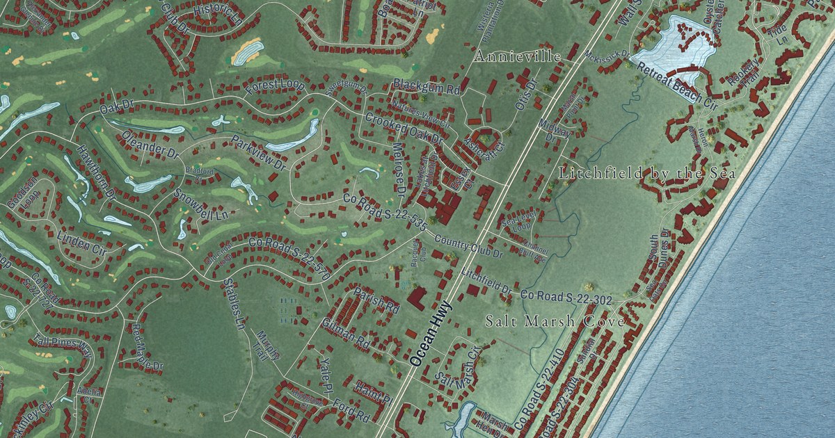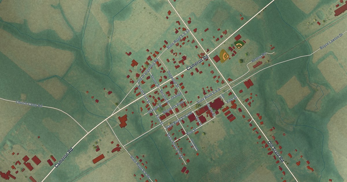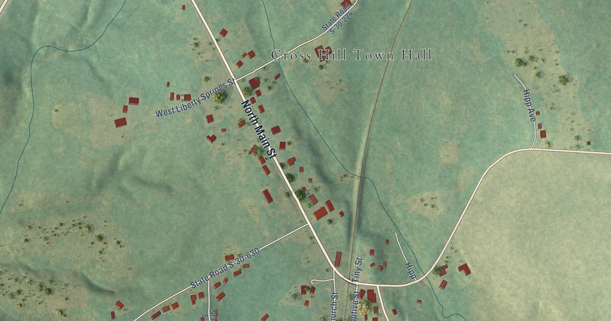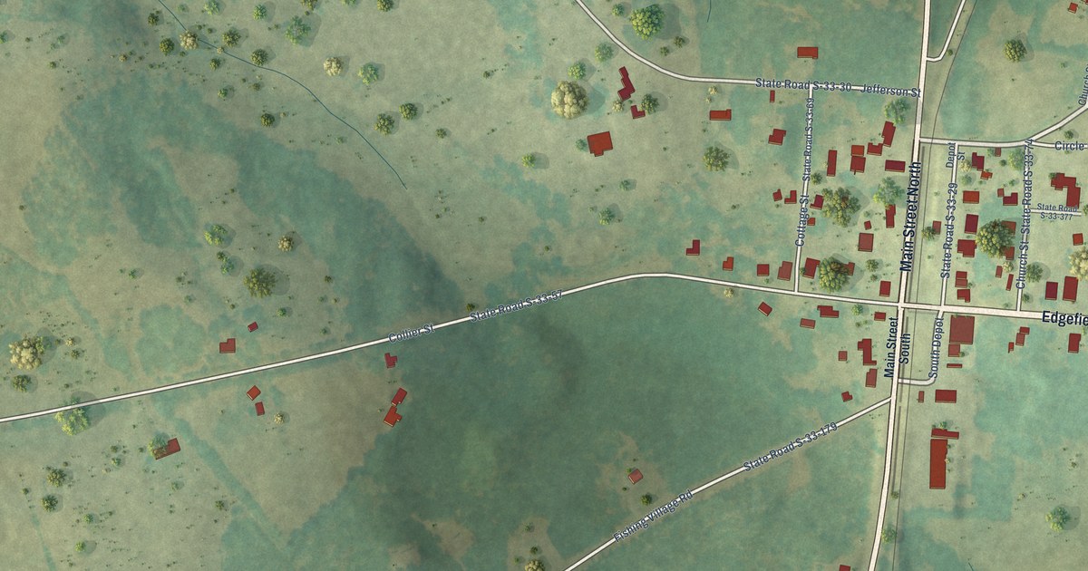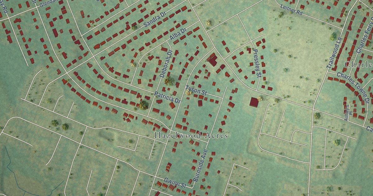
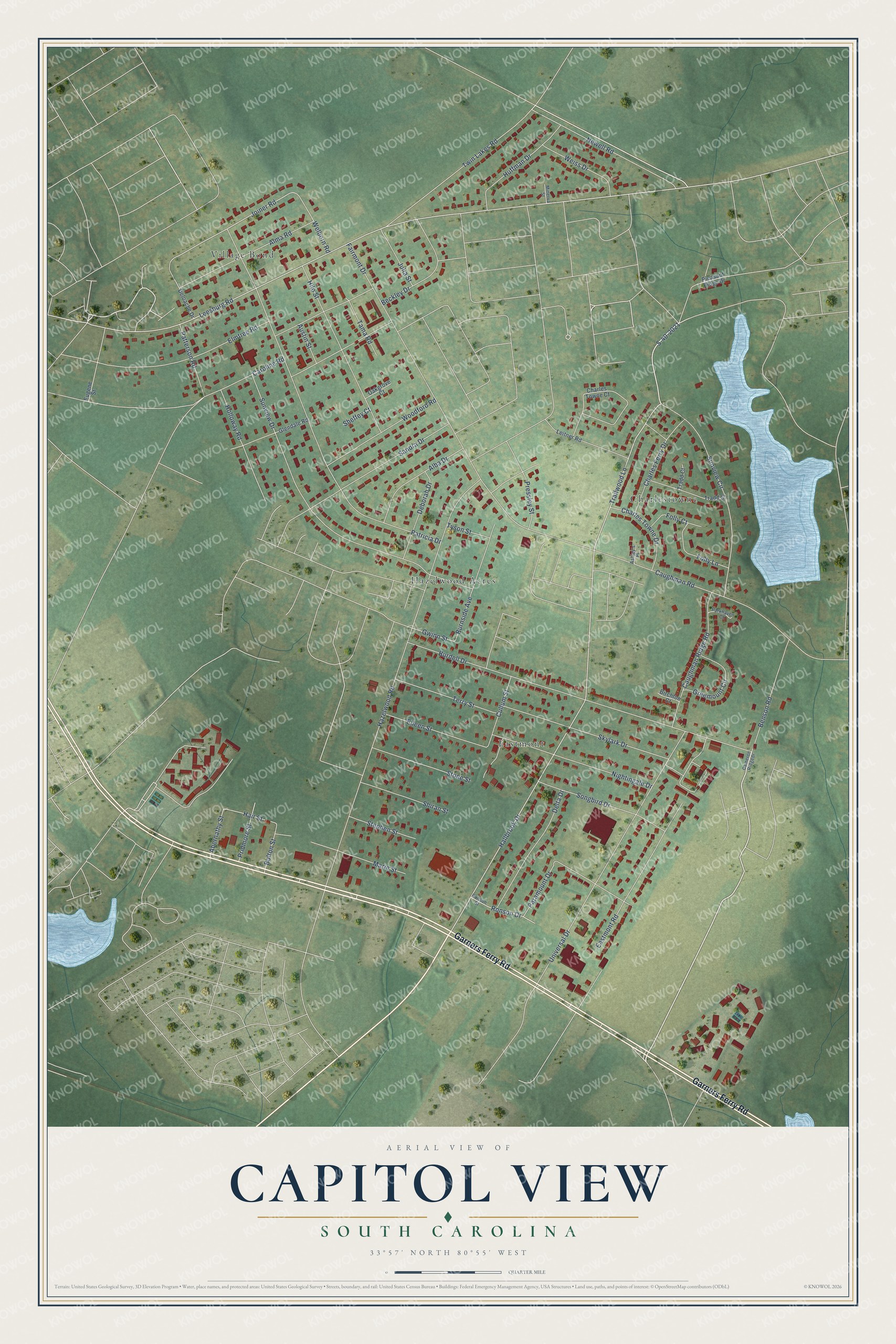
This beautifully detailed map of Capitol View, South Carolina was created in 2026 using aerial imagery combined with modern topographical, census, street and landmark data. It's a modern aerial view of Capitol View in Richland County, South Carolina, that combines modern data with a vintage aesthetic. The roads feature printed names, and if you look closely you can find your exact house accurately shown in its correct location.
Explore an aerial view of Capitol View, South Carolina
On this map you'll find Hazelwood Acres, Village Bond, Charlestowne, Eastmont, Garners Ferry Road, S-40-2021, Trailwood Lane, Hallbrook Drive, Gwinn Street, Joiner Road, Hair Street, Leesburg Road, and more. Each red shape is a building, so zoom in on the preview and look for yours.
Capitol View is a community in Richland County. The Census Bureau counted 4,653 people here in 2020. Capitol View sits about 4 miles east of Arthurtown, 5 miles south of Columbia and 5 miles southeast of Forest Acres. The map prints the town name in its title panel, with the coordinates below it.
Take a closer look at the Capitol View map
Names on this map
These names are printed on this map.
Places: Hazelwood Acres, Village Bond, Charlestowne and Eastmont.
Streets and roads: Garners Ferry Road, S-40-2021, Trailwood Lane, Hallbrook Drive, Gwinn Street, Joiner Road, Hair Street, Leesburg Road, Hazelwood Road, Patricia Drive, Sunview Circle, Burdell Drive.
More street names, A to Z
Abernathy Street, Alba Drive, Alma Road, Ashley's Place, Austin Street, Beckley Drive, Benson Road, Birchton Court, Bolton Street, Burnside Avenue, Cameron Ridgedr, Caroline Road, Caughman Ridge Road, Caughman Road, Charles Ferry Drive, Charles Towne Court, Charles Towne Drive, Cullum Street, Deborah Drive, Deloache Drive, Delta Drive, Eastmont Road, Eileen Street, Elmtree Road, Eugene Street, Fairmont Drive, Folly Court, Folly Lane, Glendale Road, Greemount Circle, Hilo Street, Holloway Road, Huffman Drive, Julia Street, Leitner Road, Marie Street, Minerva Street, Newell Road, Nightingale Drive, Oakgrove Court, Paramount Drive, Parkhaven Court, Patterson Road, Pleasant Ridge Drive, Pressley Street, Pridmore Street, Ronson Drive, Ronson Street, Sandra Drive, Sheffey Court, Shiran Street, Skylark Drive, Songbird Drive, Stephen Street, Stone Street, Sunview Drive, Tama Road, Terry Street, Tradd Court, Tradd Street, Twin Lakes Road, Tyson Street, Universal Drive, Weiss Drive, Welborn Road, Woodford Road.
See it on a wall
The Capitol View map as a framed print. Swipe for more.


Created by KNOWOL in 2026. The buildings are small red shapes, the roads carry their printed names, and shaded relief shows the shape of the land. The title panel reads "AERIAL VIEW OF CAPITOL VIEW, SOUTH CAROLINA" with 33°57' NORTH 80°55' WEST.
It suits a den, a classroom or a front hall, and it makes a gift for anyone with Capitol View roots. Open the preview and find the block you know. See sizes and frames for the Capitol View map.