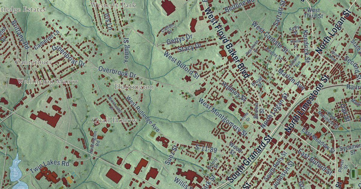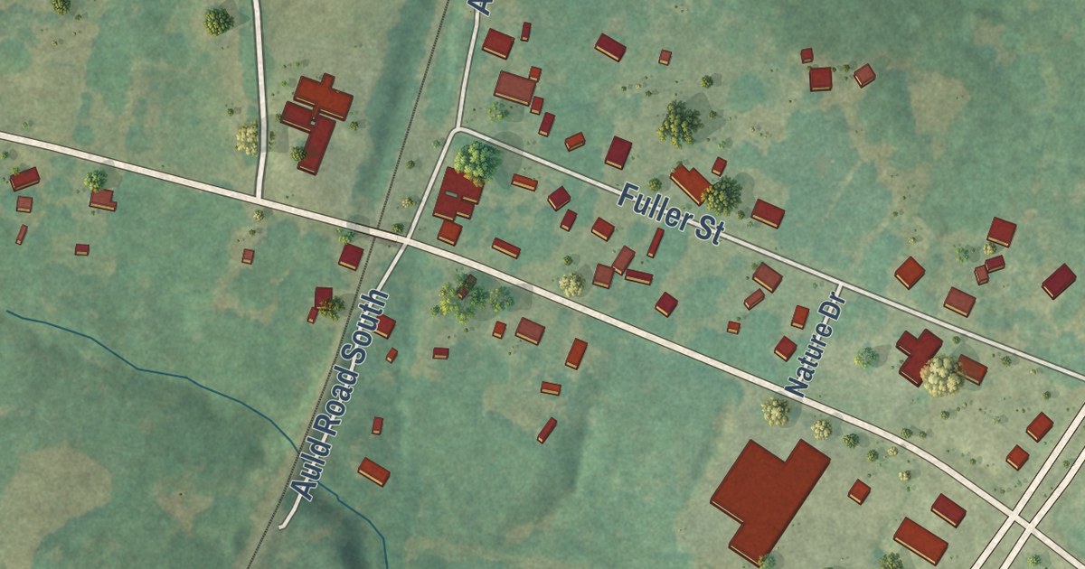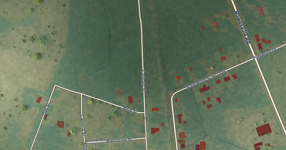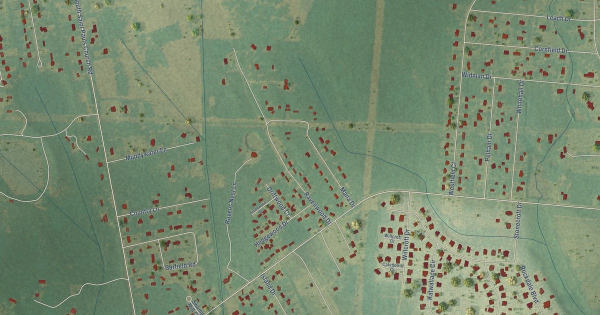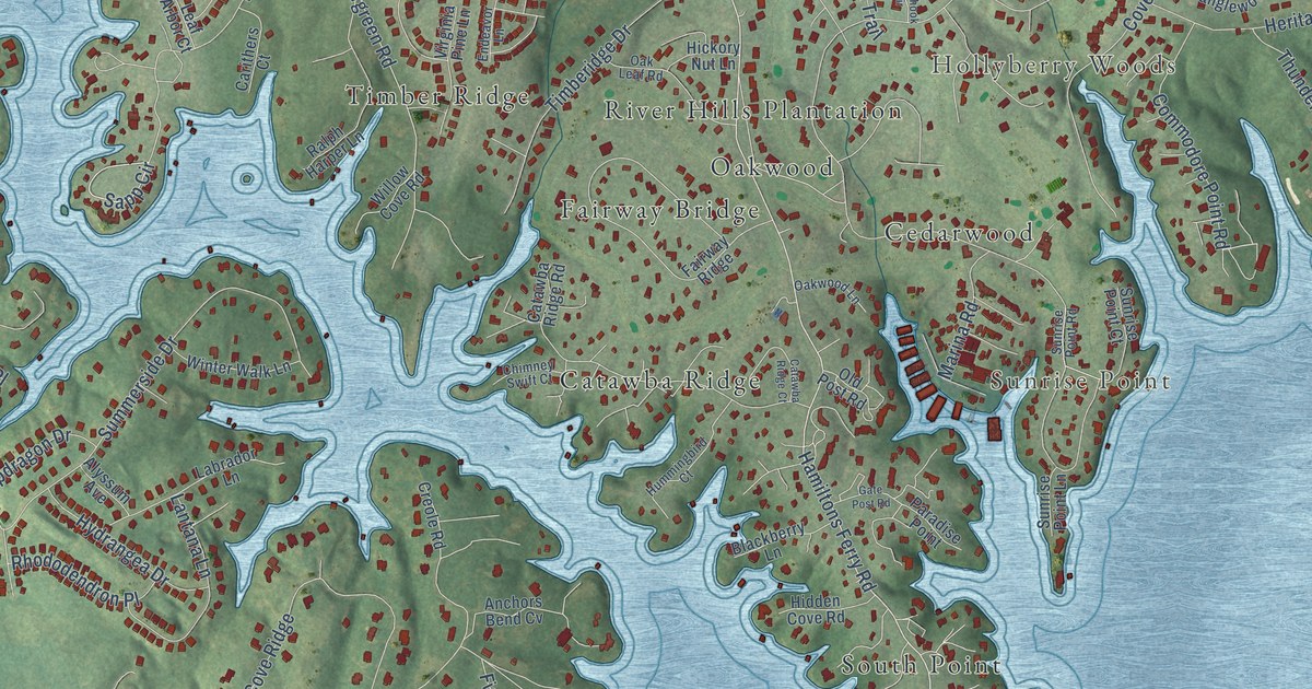
This beautifully detailed map of Lake Wylie, South Carolina was created in 2026 using aerial imagery combined with modern topographical, census, street and landmark data. It’s a one-of-a-kind view of Lake Wylie that combines accurate data with a vintage aesthetic. The map shows every building in its true location, many of the roads carry their names, and the shaded topographic relief shows the shape of the land.
Explore an aerial view of Lake Wylie, South Carolina
On the map you’ll find Honeysuckle Woods, Sunrise Point, Heritage Woods, Hollyberry Woods, Catawba Ridge, Cedarwood, Fairway Bridge, Five Points, Oakwood, River Hills Plantation, South Point, Timber Ridge, and more. If you look closely you can even find your house accurately drawn in its correct location. Zoom in on the preview to look for yours.
Did you know this piece of Lake Wylie, South Carolina history?
From the South Carolina Picture Project: "Lake Wylie is a reservoir created in 1904 when the Catawba Power Company dammed part of the Catawba River to create its hydroelectric power plant."
Take a closer look at the Lake Wylie map
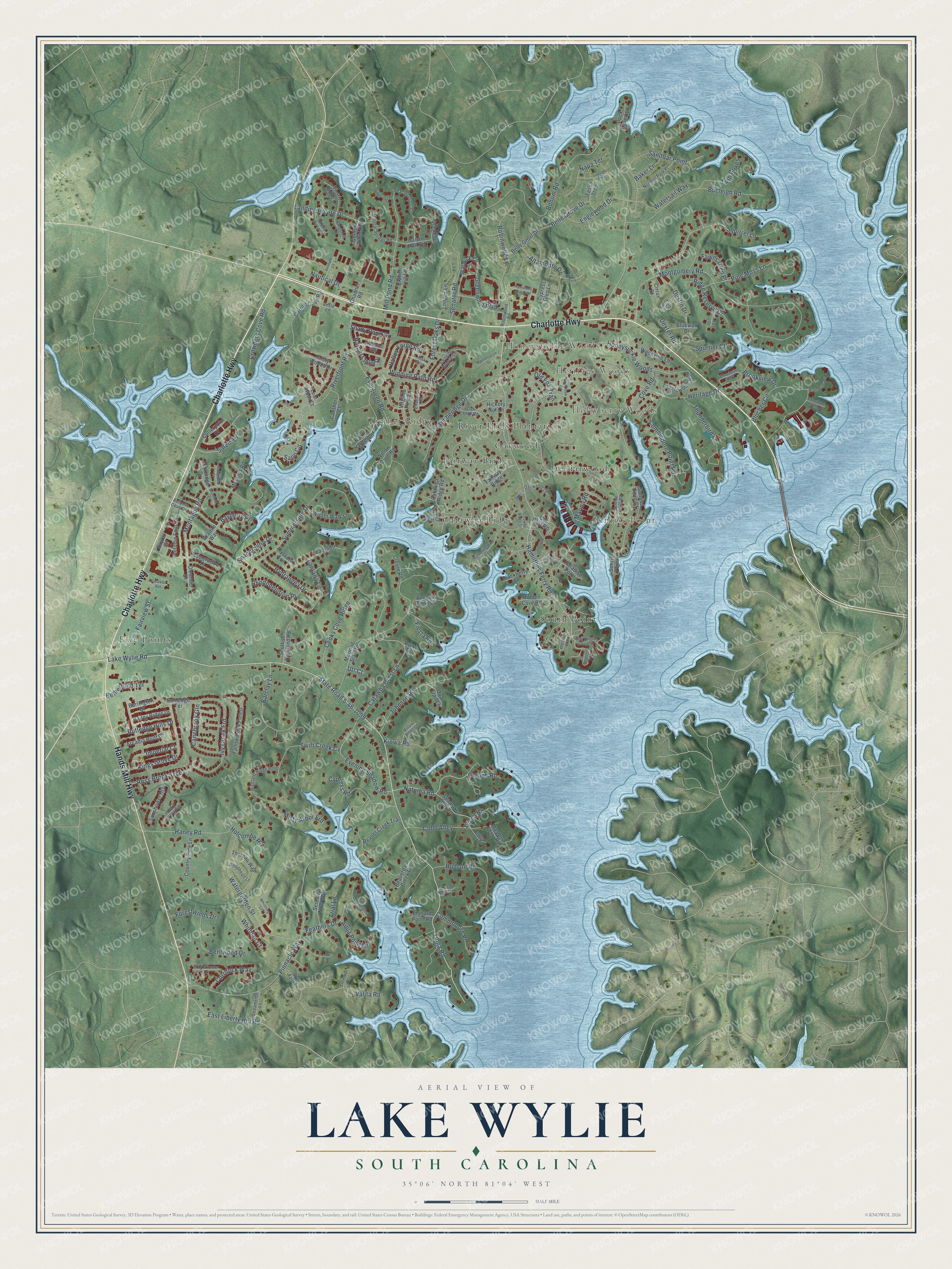
Street and place names on the Lake Wylie, South Carolina map
These names are printed on the map of Lake Wylie, South Carolina.
Places: Honeysuckle Woods, Sunrise Point, Heritage Woods, Hollyberry Woods, Catawba Ridge, Cedarwood, Fairway Bridge, Five Points, Oakwood, River Hills Plantation, South Point and Timber Ridge.
Streets and roads: Charlotte Highway, Hands Mill Highway, Lake Wylie Road, State Road S-46-1099, Natoma Road, Tioga Road, Hamiltons Ferry Road, Evening Shadow Road, Catawba Crest Lane, Evergreen Road, Commodore Point Road, Cobb Alley.
More street names, A to Z
Altamonte Drive, Alyssum Avenue, Anchors Bend Cv, Aqua Point Drive, Arcadia Bluff Drive, Arial Lane, Arrow Point Court, Autumn Cove Drive, Autumn Falls Drive, Bailey Ridge Drive, Baker Lane, Barclay Lane, Basswood Court, Bayberry Place, Bayou Circle, Beacon Crest Lane, Beaver Creek Trail, Beaverdam Creek Road, Belle Grove Drive, Belle Grovr Drive, Bentwood Drive, Bethelfield Terrace, Blackberry Lane, Blucher Circle, Bluewolf Drive, Bonum Road, Branch Hill Lane, Brightflower Lane, Brimfield Court, Brookview Drive, Bucleigh Road, Burke Drive, Burlington Drive, Calvin Hall Road, Canebrook Gln, Carithers Court, Carroll Cove Road, Catawba Avenue, Catawba Ridge Court, Catawba Ridge Road, Channel Road, Chicory Trce, Chimney Swift Court, Cirrus Street, Commodore Place, Cooks Cove Ridge, Country Pine Lane, Cove Road, Creole Road, Crouch Road, Crowders Cove Road, Currituck Way, Cutterpoint Drive, Cypress Glen Lane, Cypress Road, Dexter Road, Duck Haven Lane, Duckhook Circle, Dustin Drive, East Liberty Hill Road, Endeavor Lane, Englewood Drive, Fairview Street, Fairway Ridge, Fallowbrook Forest, Fawns Glen Place, Feathers Drive, Fernledge Drive, Fiesta Road, Forest Oaks Drive, Forestwinds Drive, Gate Post Road, Gerty Court, Golden Ridge Road, Goodheart Lane, Granite Way, Green Cove Road, Greenwich Boulevard, Greystone Pointe Court, Hamiltons Harbor Drive, Haney Road, Harpers Inlet Drive, Heritage Drive, Hickory Nut Lane, Hidden Cove Road, Highland Ridge Point, Holcombe Road, Hudson Road, Hummingbird Court, Hydrangea Drive, Ibis Lane, Imperial Court, Inland Cove Court, Ivy Creek Frd, Johnson Road, King Haigler Chase Street, Kings Grove Drive, Kingsmill Lane, Kiowa Road, Labrador Lane, Landing Pointe Drive, Lantana Lane, Lapalma Trce, Latitude Lane, Leaf Arbor Court, Lodges Lane, Maintenance Drive, Mallard Point Road, Marina Road, Marlin Drive, Masons Ferry Road, Messina Road, Mill Pond Road, Mineral Springs Road, Misty Arbor Frd, Misty Woods Drive, Montague Road, Montgomery Road, Morning Star Road, Napa Terrace, Nautical Drive, Newriver Trce, Norman Park Place, Oak Crst, Oak Leaf Road, Oakwood Lane, Old Fox Trail, Old Post Road, Old Stage Trail, Oleander Drive, Paradise Point, Peninsula Drive, Pepperwood Place, Pine Moss Lane, Pinnacle Way, Quail Trail Lane, Ralph Harper Lane, Rhododendron Place, Ridge Reserve Drive, Riverfront Road, Rivergrass Lane, River Point Road, Robinwood Lane, Robinwood Road, Rocky Grove Gln, Ross Brook Trce, Rutledge Hills Drive, Salem Drive, Sandbar Point, Sapp Circle, Schooner Lane, Scottish Highland Road, Senator Road, Serenity Now Way, Shady Pond Drive, Snapdragon Drive, Spinnake Bay Lane, Spurrier Court, Squirrel Lane, Streamside Lane, Summerside Drive, Sunledge Terrace, Sunrise Point Court, Sunrise Point Lane, Sunrise Point Road, Sunshower Heights, Swaying Branch Lane, Swift Creek Cv, Tanglewood Road, Tessa Trce, Thoreau Way, Thorn Ridge Lane, Thunderbird Lane, Timberidge Drive, Tioga Pointe Lane, Treetop Court, Twin Coves, Utt Court, Valita Road, Valley Forge Road, Vesla Lane, Virginia Pine Lane, Warwick Circle, Waterfall Way, Watergarden Street, Watersail Way, Whistling Lane, Whitman Court, Willow Cove Road, Winding Path Road, Winter Walk Lane, Woodvine Lane, Wylie Falls Lane, Yucca Road.
See the Lake Wylie, South Carolina map on a wall
The Lake Wylie map as an 18 x 24 inch print in a black frame.

This beautifully detailed map of Lake Wylie makes an attractive addition to your office, library, or den, and it can even be used to teach children the geography and history of the area. It also makes a great gift for anyone with Lake Wylie roots. When you’re done exploring, click here to get your copy of the Lake Wylie map.