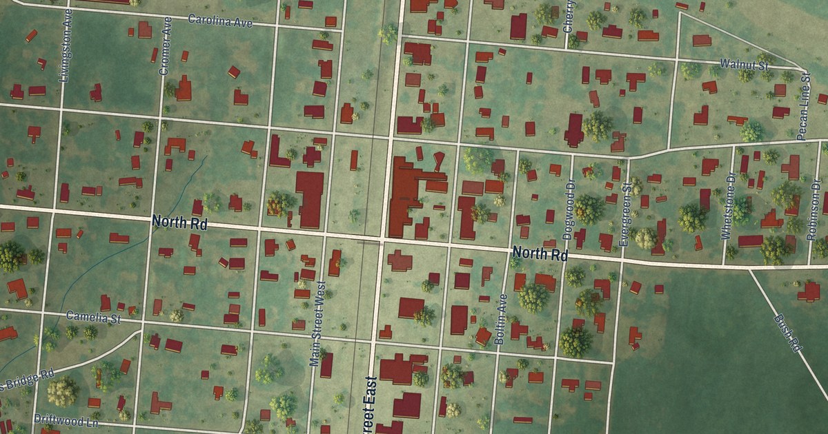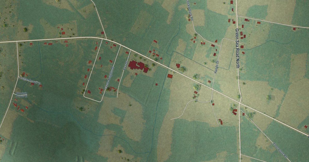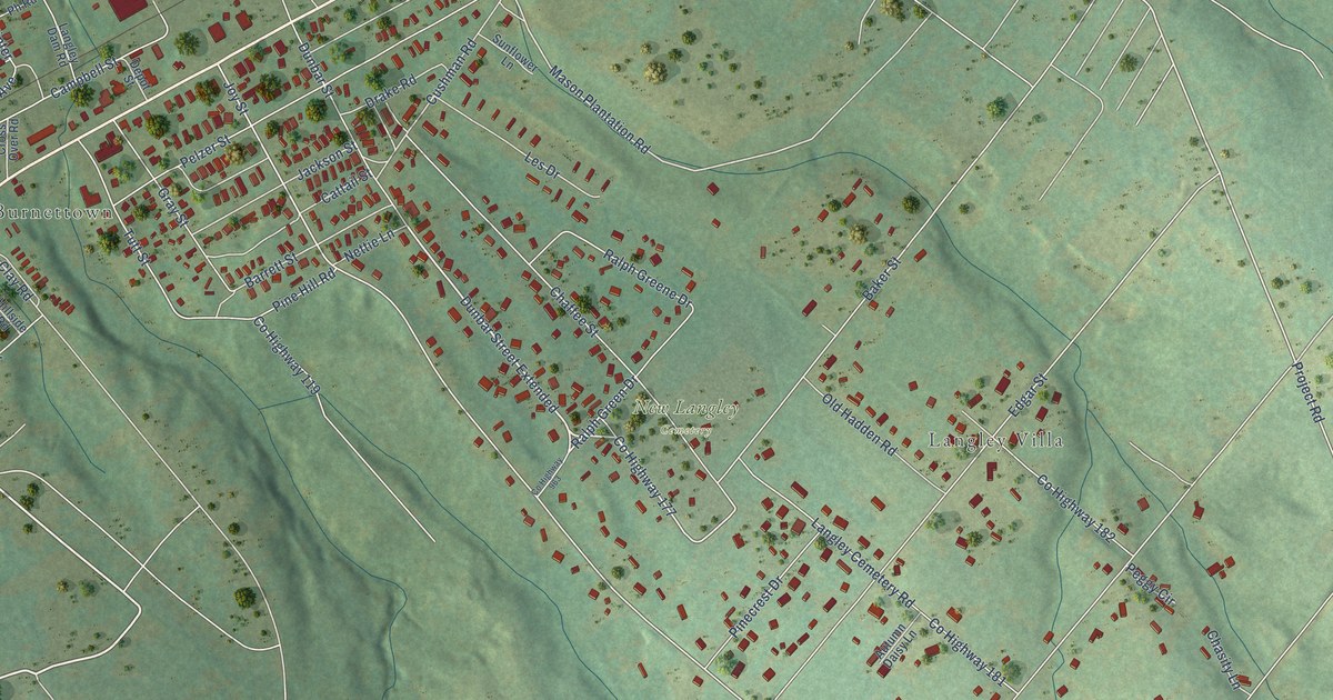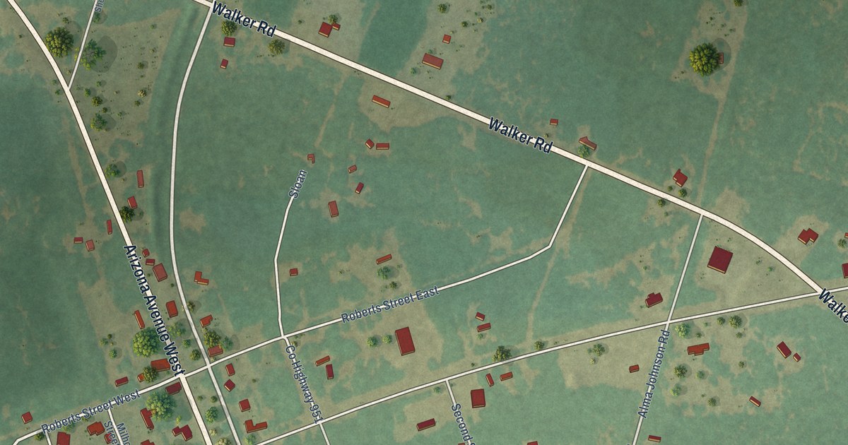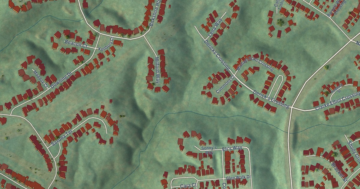
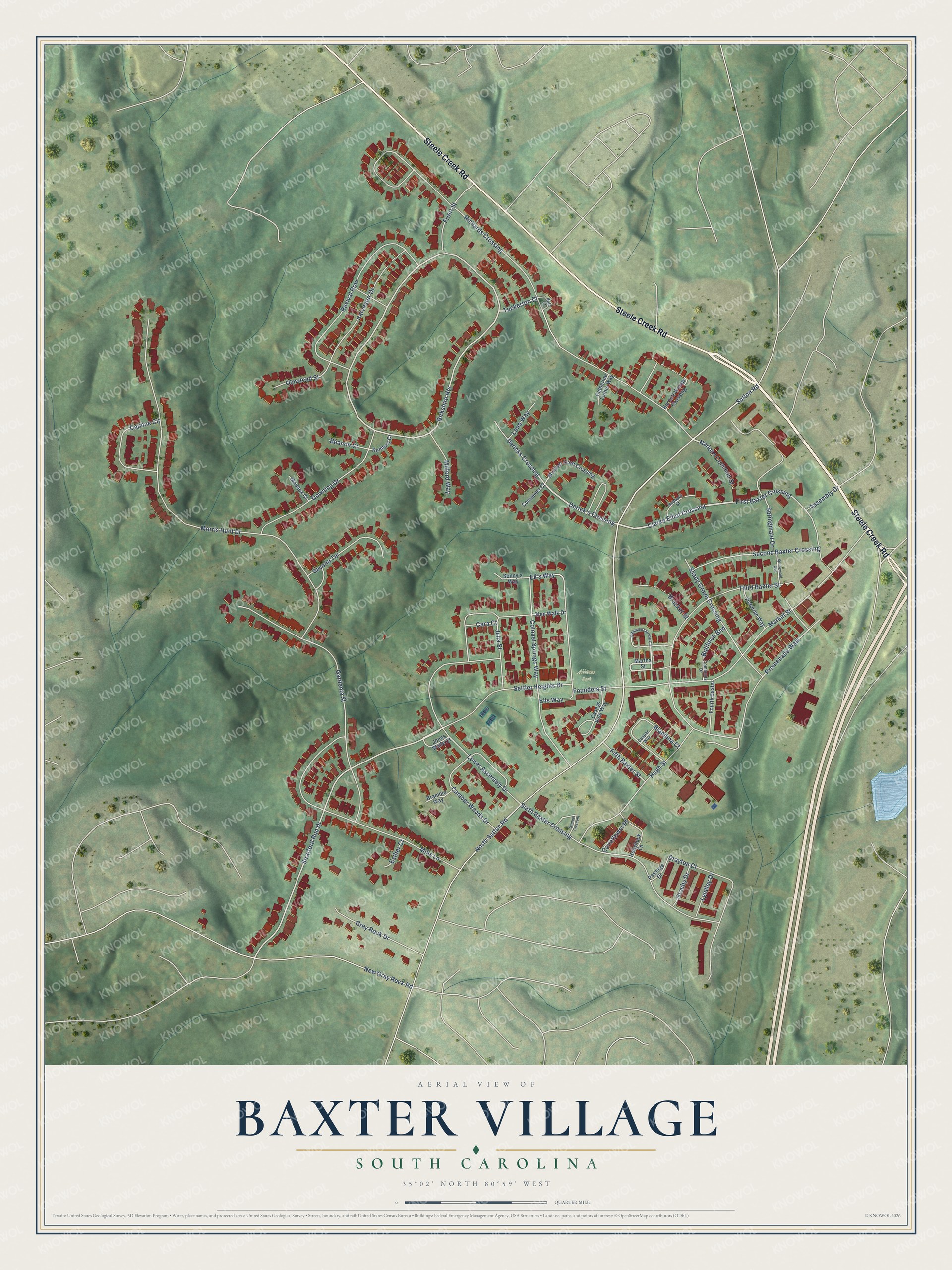
This beautifully detailed map of Baxter Village, South Carolina was created in 2026 using aerial imagery combined with modern topographical, census, street and landmark data. It's a modern aerial view of Baxter Village in York County, South Carolina, that combines modern data with a vintage aesthetic. The roads feature printed names, and if you look closely you can find your exact house accurately shown in its correct location.
Explore an aerial view of Baxter Village, South Carolina
On this map you'll find Allison Park, Steele Creek Road, Clarke Elliot Crossing, Derick's Crossing, Nations Common Street, Tuckerton Drive, Stratford Run Drive, Sutton Road, Birkshire Heights, Eli's Way, Richards Crossing, Morris Hunt Drive, and more. Each red shape is a building, so zoom in on the preview and look for yours.
Baxter Village is a community in York County. The Census Bureau counted 4,217 people here in 2020. Baxter Village sits about 2 miles southeast of Tega Cay, 3 miles northwest of Fort Mill and 3 miles east of India Hook. The map prints the town name in its title panel, with the coordinates below it.
Take a closer look at the Baxter Village map
Names on this map
These names are printed on this map.
Places: Allison Park.
Streets and roads: Steele Creek Road, Clarke Elliot Crossing, Derick's Crossing, Nations Common Street, Tuckerton Drive, Stratford Run Drive, Sutton Road, Birkshire Heights, Eli's Way, Richards Crossing, Morris Hunt Drive, North Sutton Road.
More street names, A to Z
Assembly Drive, Barnett Woods Crossing, Bath Court, Beacon Court, Benjamen Latrobe Circle, Blandina Court, Bracket Street, Bramble Way, Bullfinch Bnd, Camber Woods Drive, Cara Court, Caseys Side Way, Caspar Way, Catherine Lothie Way, Colonel Springs Way, Commons Court, Commons Drive, Coneflower Place, Daphne Circle, Dericks Crossing, Downing Drive, Drayton Court, Elis Way, Esther Court, Fifth Baxter Street, First Baxter Crossing, Founders Street, Fourth Baxter, Front Street, Gardenia Street, Glen Walk Drive, Granby Drive, Grey Rock Drive, Harvester Drive, Hollyhock Lane, Hubbard Street, Hugh Street, Jones Wade Court, Julia Street, Kenbury Court, Lena Way, Lower Assembly Drive, Lyndley Drive, Maddox Court, Market Street, Martha Street, Michael Scott Crossing, Milford Way, Mills Lane, New Gray Rock Road, Olmstead Street, Passage Drive, Promenade Walk, Revival Row, Samuel Crescent, Savona Terrace, Second Baxter Crossing, Settler Heights Drive, Shady Grove Crossing, Sixth Baxter Crossing, Sonny's Way, Springmaid Avenue, Springmaid Drive, Third Baxter Street, Victorian Way.
See it on a wall
The Baxter Village map as a framed print. Swipe for more.


Created by KNOWOL in 2026. The buildings are small red shapes, the roads carry their printed names, and shaded relief shows the shape of the land. The title panel reads "AERIAL VIEW OF BAXTER VILLAGE, SOUTH CAROLINA" with 35°02' NORTH 80°59' WEST.
It suits a den, a classroom or a front hall, and it makes a gift for anyone with Baxter Village roots. Open the preview and find the block you know. See sizes and frames for the Baxter Village map.