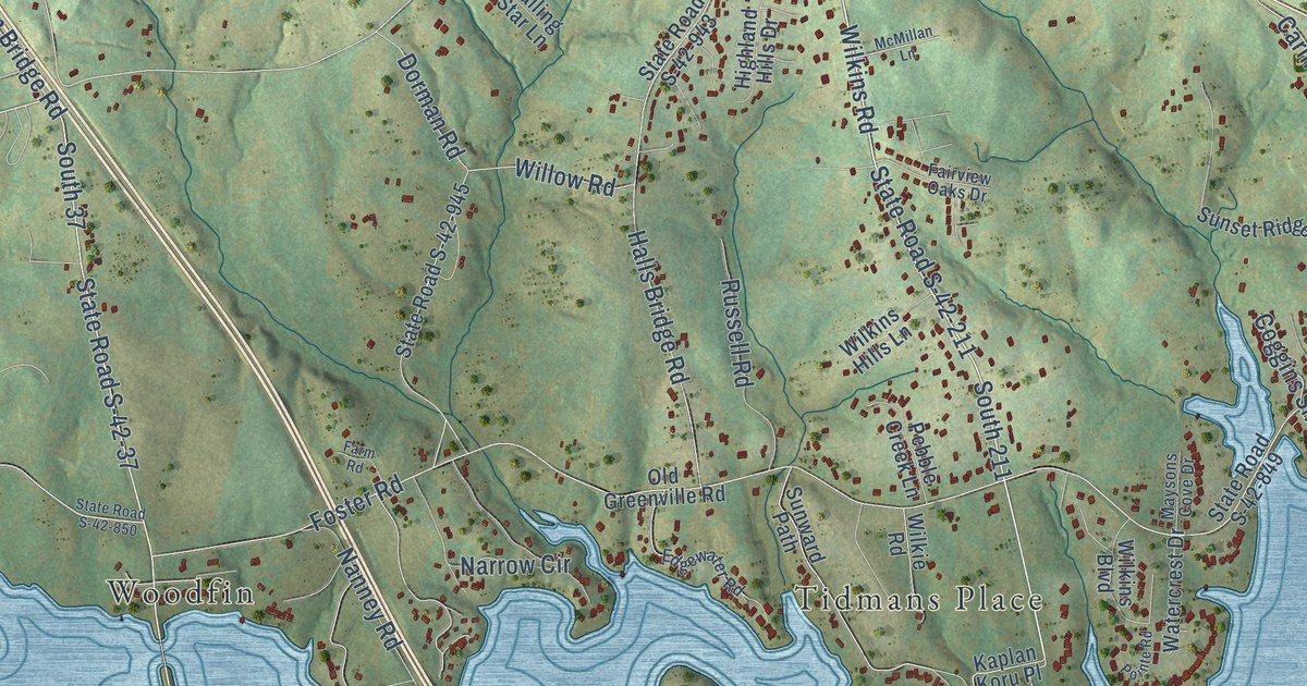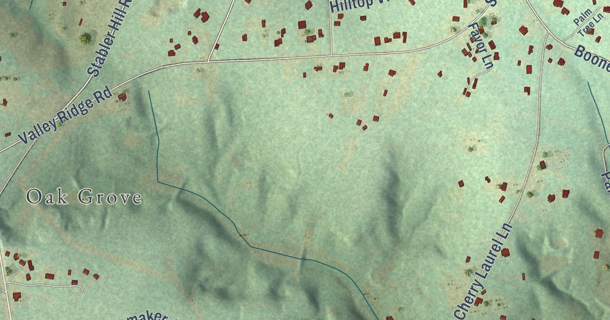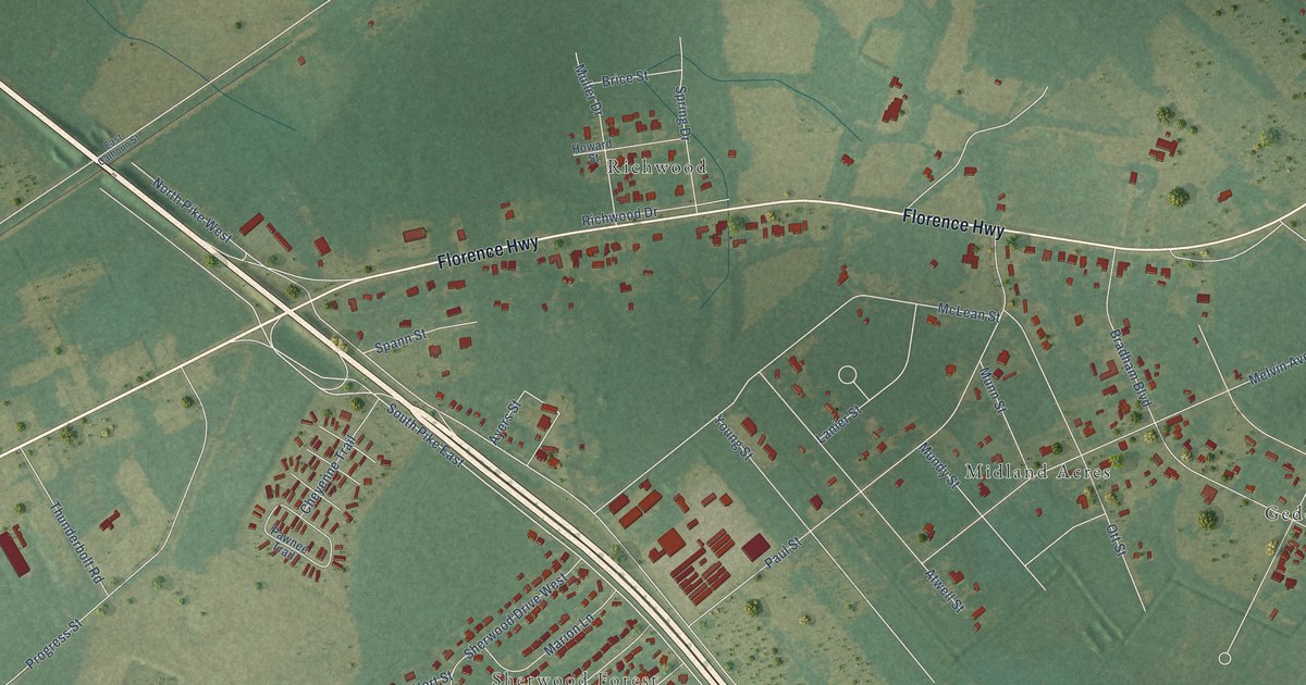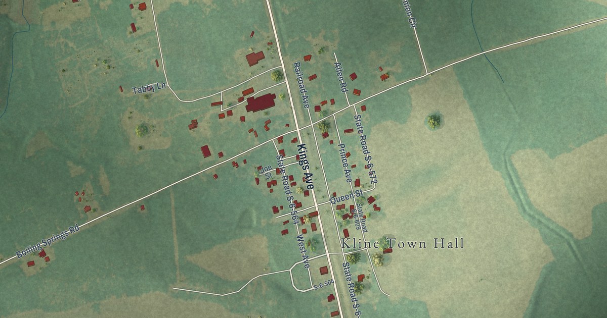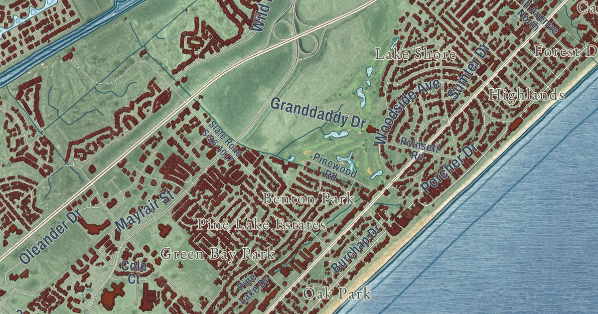
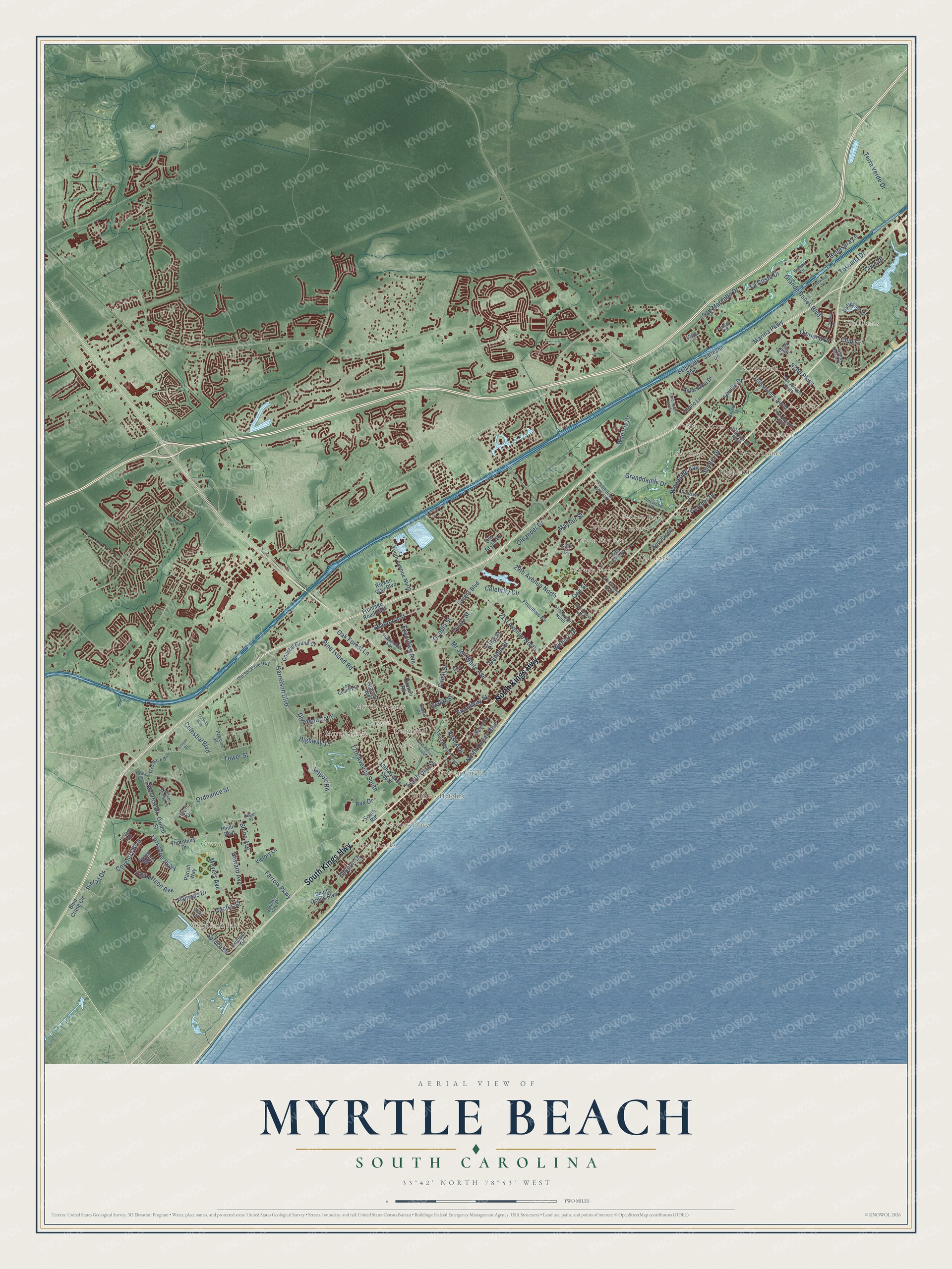
This beautifully detailed map of Myrtle Beach, South Carolina was created in 2026 using aerial imagery combined with modern topographical, census, street and landmark data. It’s a one-of-a-kind view of Myrtle Beach that combines accurate data with a vintage aesthetic. The map shows every building in its true location, many of the roads carry their names, and the shaded topographic relief shows the shape of the land.
Explore an aerial view of Myrtle Beach, South Carolina
On the map you’ll find Woodland Park, Dunes Cove, Grand Park, Benton Park, Blynn Acres, Cane Patch, Dogwood, East Chester, Fairway Park, Forest Dunes, Green Bay Park, Highlands, and more. If you look closely you can even find your house accurately drawn in its correct location. Zoom in on the preview to look for yours.
Did you know this piece of Myrtle Beach, South Carolina history?
From Scencyclopedia.org: "In about 1900 Burroughs & Collins built a railroad from Conway to the coast to extract the timber."
Take a closer look at the Myrtle Beach map
Street and place names on the Myrtle Beach, South Carolina map
These names are printed on the map of Myrtle Beach, South Carolina.
Places: Woodland Park, Grand Park, Northwood, Seaview Place, Fairway Park, Myrtle Heights, The Dunes, Blynn Acres, Benton Park, Yaupon Circle, Myrtle Ridge, Cane Patch, Highlands, Oak Park, Hurl Rocks, Long Bay, Withers Heights, Scott Acres, Forest Dunes, Green Bay Park, Lake Shore, Pine Lake Estates, Dogwood and Owens.
Streets and roads: North Kings Highway, South Kings Highway, North Ocean Boulevard, Harrelson Boulevard, Mr Joe White Avenue, Avx Drive, Meyers Avenue, Pintail Drive, Farrow Parkway, Marina Parkway, 21st Avenue North, Oak Street.
More street names, A to Z
13th Avenue South, 17th Avenue South, 27th Avenue North, 29th Avenue North, 30th Avenue North, 37th Avenue North, 62nd Avenue North, 67th Avenue North, 74th Avenue North, 76th Avenue North, 79th Avenue North, 82nd Parkway, Anterselva Drive, Belancino Boulevard, Bellasera Lane, Blue Crane Circle, Bluff Drive, Broadway Street, Bryant Street, Burchap Drive, Cactus Street, Canal Street, Cannon Road, Cedar Street, Celebrity Circle, Celestial Boulevard, Chester Street, Cipriana Drive, Cliffwood Drive, Club Drive, Coastal Grand Court, Cole Court, Cove Drive, Coventry Boulevard, Crow Lane, Culbertson Avenue, Dividend Loop, Dunbar Street, Eclipse Drive, Essex Way, Executive Avenue, Fifth Avenue South, First Avenue, Founders Bv, Fred Nash Boulevard, Frontage Road East, Granddaddy Drive, Grande Dunes Boulevard, Greens Boulevard, Grey Street, Heritage Loop, Highway 15, Howard Avenue, Huger Street, Jetport Road, Juniper Drive, King Street, La Costa Drive, Low Country Place, Malaga Circle, Mayfair Street, Monterrosa Drive, Oak Forest Lane, Ocala Street, Oceola Street, Old Bryan Drive, Old Socastee Highway, Oleander Drive, Ophelia Way, Ordnance Street, Otter Street, Owens Drive, Oxford Street, Pampas Drive, Parish Way, Patterson Drive, Pegasus Place, Phillis Boulevard, Pine Island Road, Pine Lake Drive, Pinewood Road, Poinsett Road, Porcher Drive, Ripken Way Boulevard, Rourk Street, San Marcello Drive, Sarteano Drive, Seaboard Street, Serena Drive, Seville Drive, Shine Avenue, Silver Spring Lane, South Oak Street, South Ocean Boulevard, South Road, Splinter City Street, Spruce Drive, Stalvey Avenue, State Road 73, State Road S-26-1017, Stockholder Avenue, Sumter Drive, Suncrest Drive, Tenth Avenue North, Terra Verde Drive, Third Avenue South, Thornbury Drive, Torino Lane, Toscana Drive, Tower Street, Venezia Circle, Victory Lane, Wild Iris Drive, Withers Drive, Woodside Avenue, Yaupon Drive, Yorkshire Parkway.
See the Myrtle Beach, South Carolina map on a wall
The Myrtle Beach map as an 18 x 24 inch print in a black frame.

This beautifully detailed map of Myrtle Beach makes an attractive addition to your office, library, or den, and it can even be used to teach children the geography and history of the area. It also makes a great gift for someone who left Myrtle Beach and still calls it home. When you’re done exploring, click here to get your copy of the Myrtle Beach map.