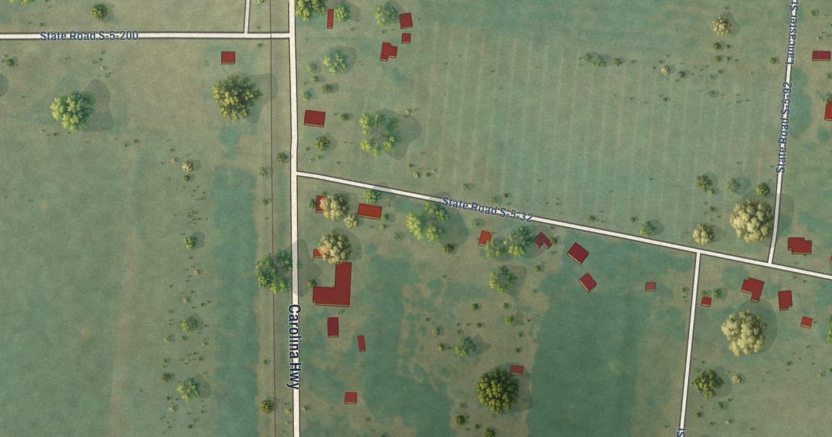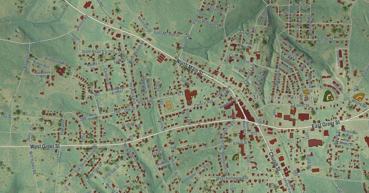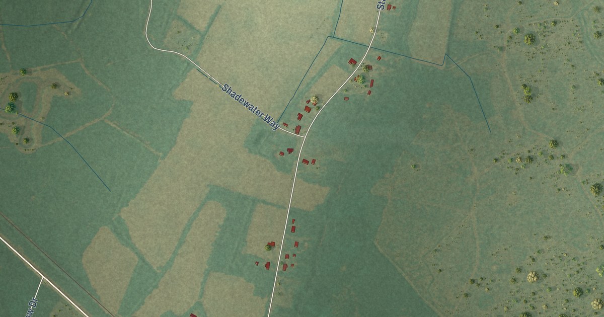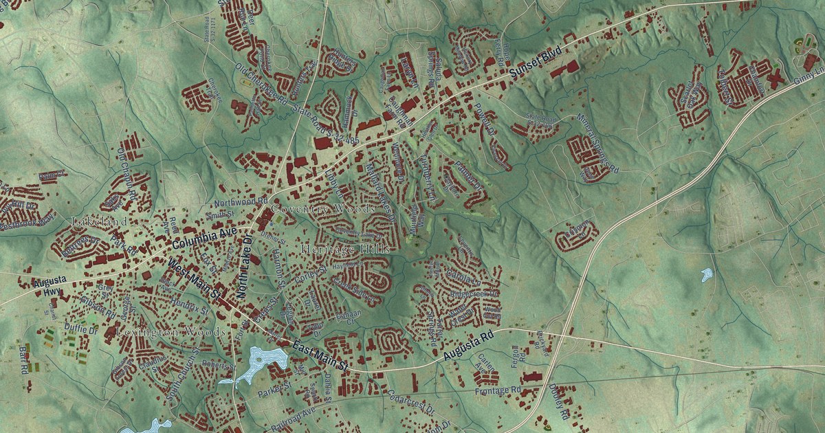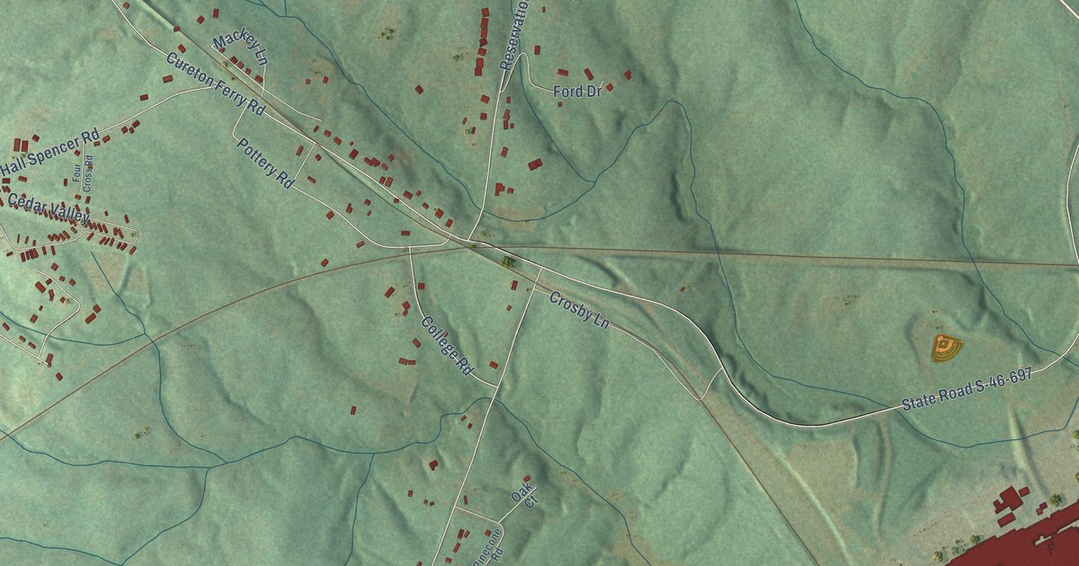
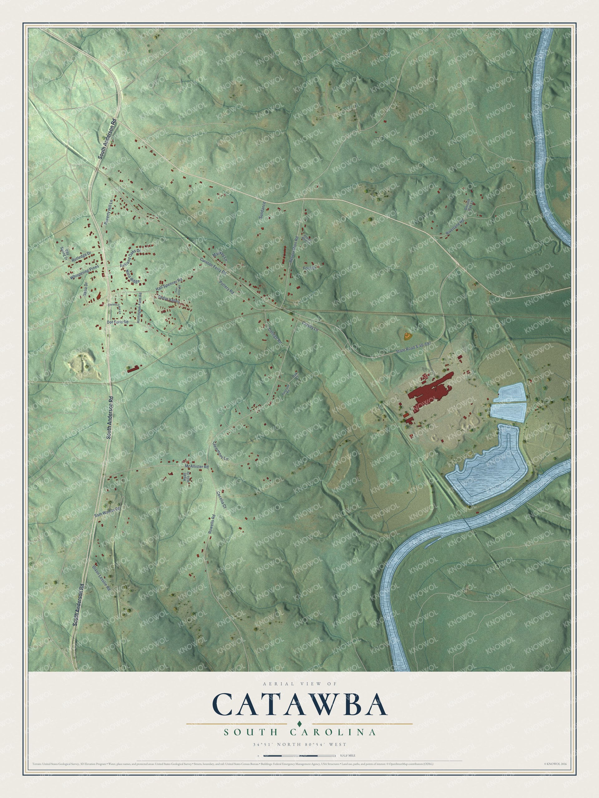
This beautifully detailed map of Catawba, South Carolina was created in 2026 using aerial imagery combined with modern topographical, census, street and landmark data. It's a modern aerial view of Catawba in York County, South Carolina, that combines modern data with a vintage aesthetic. The roads feature printed names, and if you look closely you can find your exact house accurately shown in its correct location.
Explore an aerial view of Catawba, South Carolina
On this map you'll find South Anderson Road, Mackey Lane, State Road S-46-697, Cureton Ferry Road, Rowells Road, Reservation Road, Hall Spencer Road, McAllister Road, Riverlane Road, Cedar Valley, Dot Faris Road, Dixon Lesslie Road, and more. Each red shape is a building, so zoom in on the preview and look for yours.
Every town has a first chapter, and Catawba is no exception. In 1887 two new railroads, the 3C's and the Greenwood, Carolina and Northern, settled how their lines would cross near Cureton's Ferry, with the GC&N passing under the 3C's. The place was soon called Catawba Junction, and a post office named Catawba opened there in February 1889 with Mrs. Sallie P. Wylie as postmaster. Later, Simpson's store at Catawba Junction held the post office and carried travelers from the Seaboard depot to Rock Hill to catch trains for Charlotte and New York. That's from the Roots and Recall history site.
Catawba is a community in York County. The Census Bureau counted 1,301 people here in 2020.
Take a closer look at the Catawba map
Names on this map
These names are printed on this map.
Streets and roads: South Anderson Road, Mackey Lane, State Road S-46-697, Cureton Ferry Road, Rowells Road, Reservation Road, Hall Spencer Road, McAllister Road, Riverlane Road, Cedar Valley, Dot Faris Road, Dixon Lesslie Road.
More street names, A to Z
Ashland Oaks Drive, Cecelia Court, Christy Cove Lane, Clemmons Lane, College Road, Crosby Lane, Dana Drive, Day Spring Drive, Ford Drive, Four Cross Road, Huntington Farm Road, Hyatt Hills Drive, Nora Ridge, Oak Court, Pinecone Road, Pottery Road, Poverty Hill Lane, Robert West Lane, Rutledge Drive, Sam Walker Road, Smooth Oak Lane, Sundance, Whispering Pines.
See it on a wall
The Catawba map as a framed print. Swipe for more.


Created by KNOWOL in 2026. The buildings are small red shapes, the roads carry their printed names, and shaded relief shows the shape of the land. The title panel reads "AERIAL VIEW OF CATAWBA, SOUTH CAROLINA" with 34°51' NORTH 80°54' WEST.
Hang it in the hallway, the office or the cabin, or give it to someone who left Catawba and still calls it home. Open the preview and look for a street you know. See sizes and frames for the Catawba map.