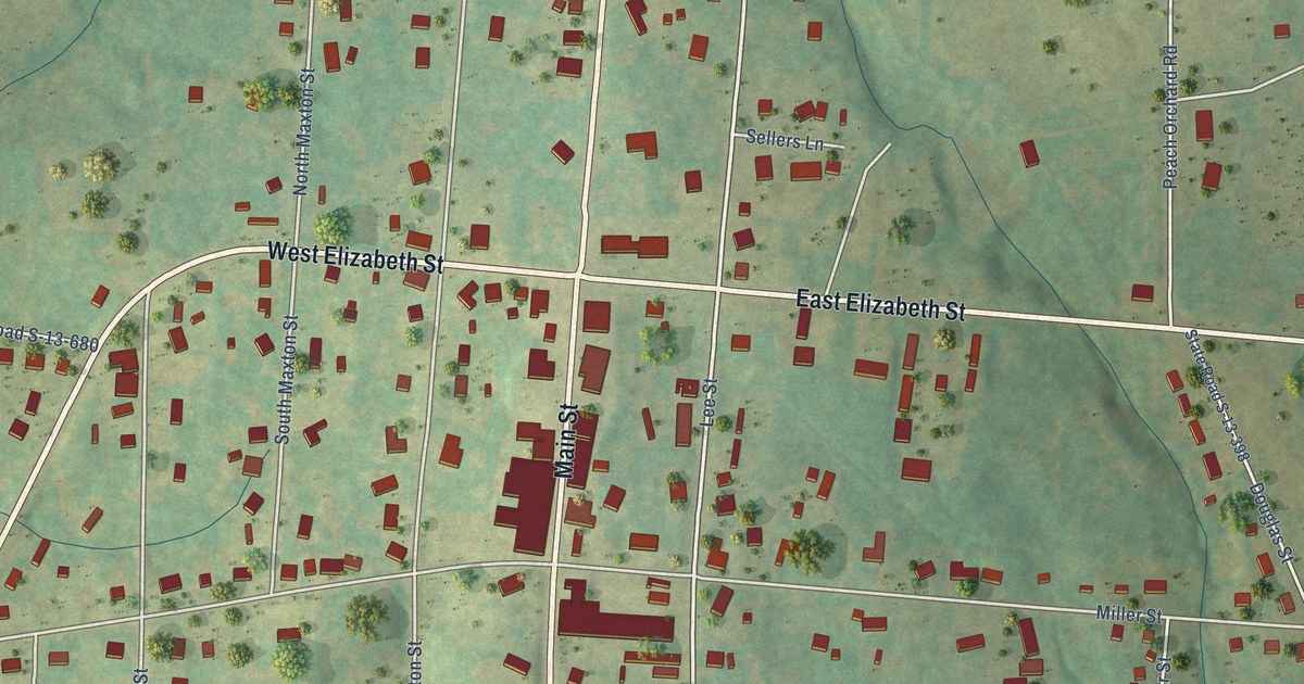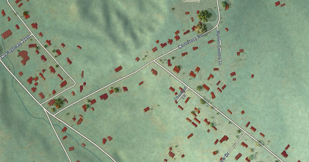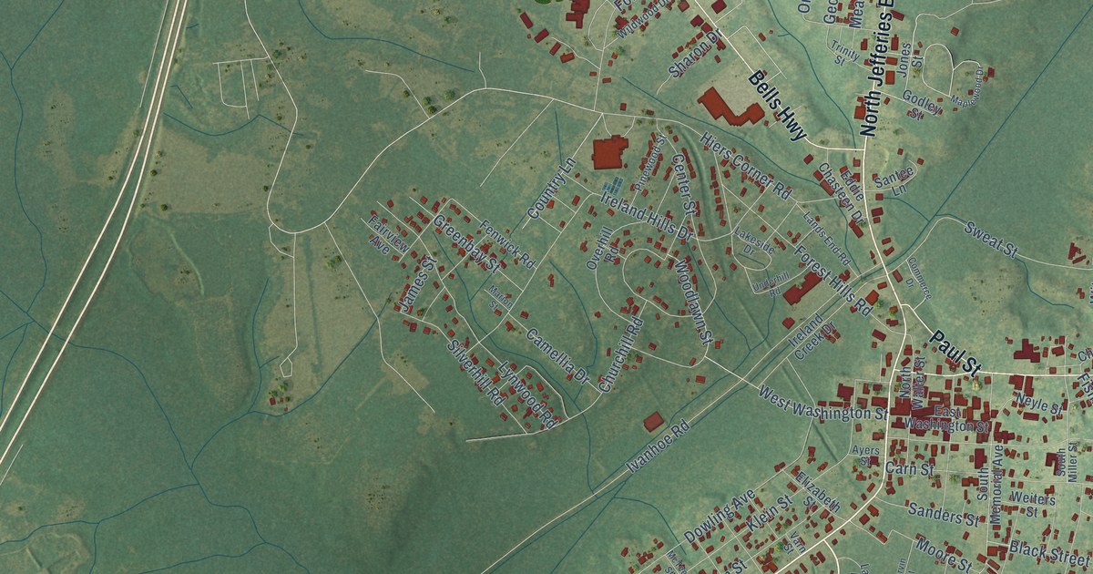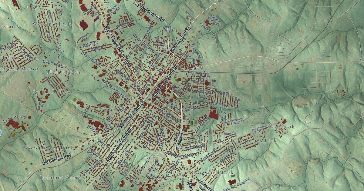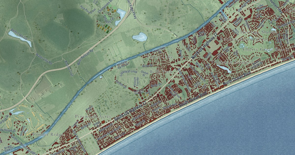
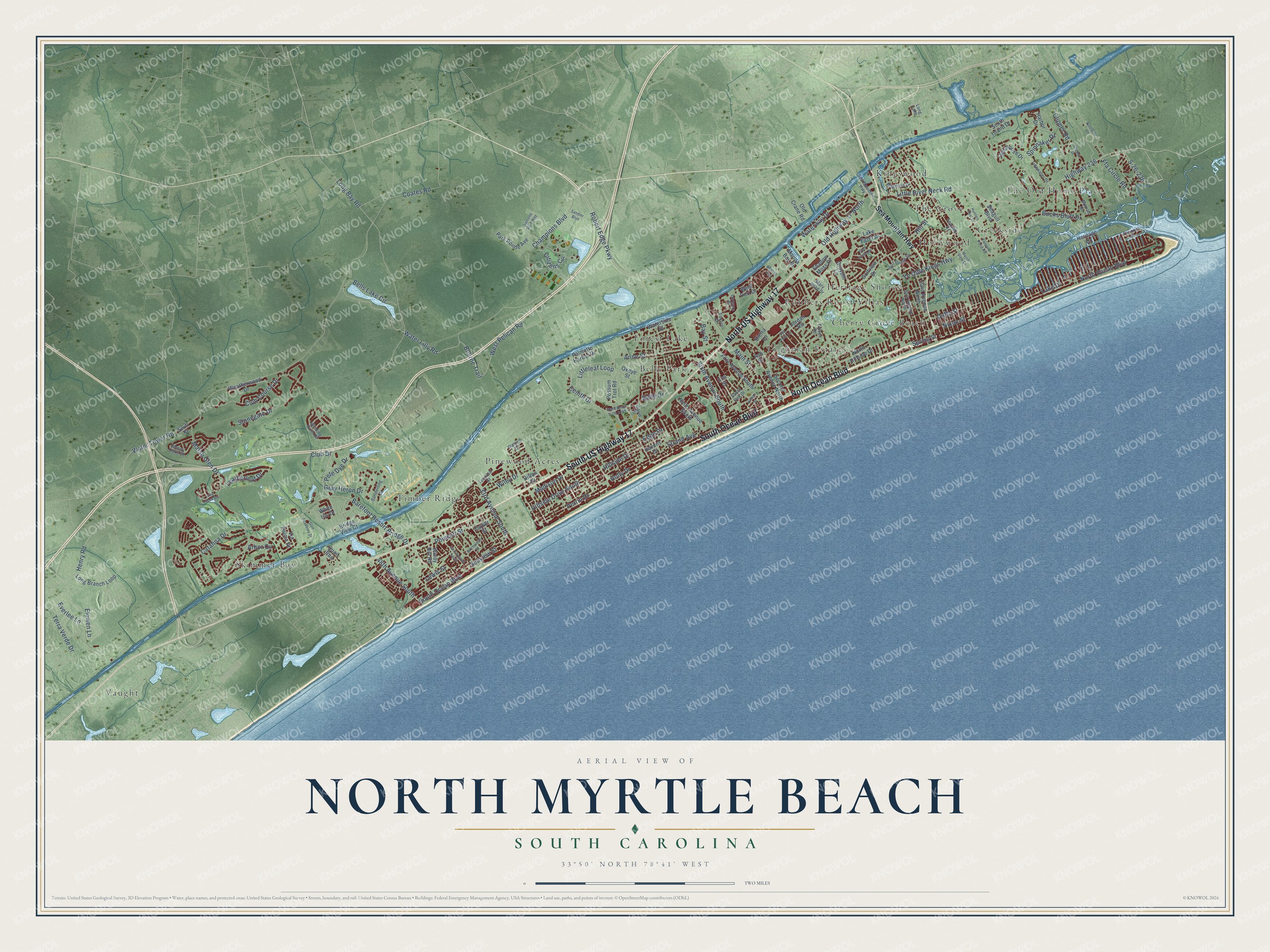
This beautifully detailed map of North Myrtle Beach, South Carolina was created in 2026 using aerial imagery combined with modern topographical, census, street and landmark data. It's a modern aerial view of North Myrtle Beach in Horry County, South Carolina, that combines modern data with a vintage aesthetic. The roads feature printed names, and if you look closely you can find your exact house accurately shown in its correct location.
Explore an aerial view of North Myrtle Beach, South Carolina
On this map you'll find Belle Park, Cherry Grove Beach, Creekside, Forest Lake, Heritage Shores, Hollywood, Kingswood, Pinewood Acres, Robbers Roost Villas, Skimmer Bay, The Grove, The Old Home Place, and more. Each red shape is a building, so zoom in on the preview and look for yours.
Here is a piece of North Myrtle Beach history, in the words of the record. The record at scencyclopedia.org puts it this way: "By the early twenty-first century the rapid increase in housing units had strained local resources and infrastructure to the limit."
North Myrtle Beach is a city in Horry County. The Census Bureau counted 18,790 people here in 2020.
Take a closer look at the North Myrtle Beach map
Names on this map
These names are printed on this map.
Places: Belle Park, Cherry Grove Beach, Creekside, Forest Lake, Heritage Shores, Hollywood, Kingswood, Pinewood Acres, Robbers Roost Villas, Skimmer Bay, The Grove, The Old Home Place, Tilghman Estates, Timber Ridge, Vaught and Long Lake.
Streets and roads: South US Highway 17, North Ocean Boulevard, South Ocean Boulevard, North US Highway 17, Robert Edge Parkway, Hill Street, Highway 236, Bells Lake Circle, Club Course Drive, Little River Neck Road, Water Lilly Road, Waterway Drive.
More street names, A to Z
20th Avenue North, 23rd Avenue North, 33rd Avenue South, 43rd Avenue South, 48th Avenue South, Anne Street, Arbor Cv, Ash Street, Barefoot Resort Bridge Drive, Bay Street, Beacon Avenue, Belle Drive, Birchwood Street, Bourne Trail, Bridge View Court, Bucks Bluff Drive, Catalina Drive, Cenith Drive, Champions Boulevard, Channel Street, Citizens Circle, Clipper Drive, Clipper Road, Club Drive, Coates Road, David Street, Diamond Stars Way, Dietra Lane, Duffy Street, East Island Drive, Edge Drive, Elm Street, Elowen Lane, Everlee Lane, Ffa Circle Road, First Avenue South, Foxfire Drive, Golf Academy Drive, Golfview Drive, Graybill Lane, Gray Heron Drive, Harbor Drive, Havens Drive, Henry Road, Heritage Drive, Hillside Drive, Hillside Drive South, Hilltop Street, Hilton Drive, Holly Drive, Hunters Rest Drive, Jordan Road, Lake Drive, Lake Egret Drive, Leatherleaf Drive, Lewis Street, Lighthouse Drive, Littleleaf Loop, Long Bay Road, Long Branch Loop, Long Creek Road, Lorenzo Drive, Madison Drive, Magnolia Drive, Main Street, Marina Bay Drive, Marsh Glen Drive, Marsh View Drive, Mary Read Drive, Morrall Drive, Mossy Oaks Drive, Ninth Avenue South, Nixon Street, North Hillside Drive, Old Crane Road, Old Highway 17 North, Oxeye Street, Palmetto Harbor Drive, Park Pointe Avenue, Perrin Drive, Pete Dye Drive, Poinsett Street, Possum Trot Road, Quail Run, Riverside Drive, S-26-236, Sanderling Drive, Sandler Boulevard, Seagull Boulevard, Sea Mountain Highway, Seaside Drive, Seaview Street, Sea Vista Lane, Second Avenue North, Shadow Moss Place, Sixth Avenue South, South Island Drive, South Oak Drive, Spinnaker Drive, Spring Street, State Road S-26-1043, Stonegate Drive, Strand Avenue, Surf Pointe Drive, Swift Street, Tarpon Pond Road, Terminal Street, Terra Verde Drive, Tidewater Drive, Tillson Road, Turner Street, Via Palma Drive, Waterside Street, Water Tower Road, Watson Drive, Weatherwood Drive, West Pelican Road, West Port Drive, White Iris Drive, Wiley Drive, Winding River Drive, Windy Hill Road, Ye Olde Kings Highway.
See it on a wall
The North Myrtle Beach map as a framed print. Swipe for more.


Created by KNOWOL in 2026. The buildings are small red shapes, the roads carry their printed names, and shaded relief shows the shape of the land. The title panel reads "AERIAL VIEW OF NORTH MYRTLE BEACH, SOUTH CAROLINA" with 33°50' NORTH 78°41' WEST.
It suits a den, a classroom or a front hall, and it makes a gift for anyone with North Myrtle Beach roots. Open the preview and find the block you know. See sizes and frames for the North Myrtle Beach map.