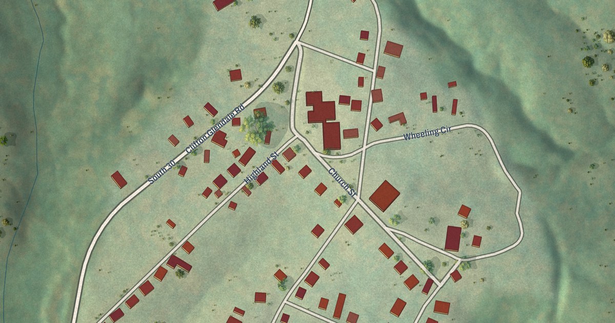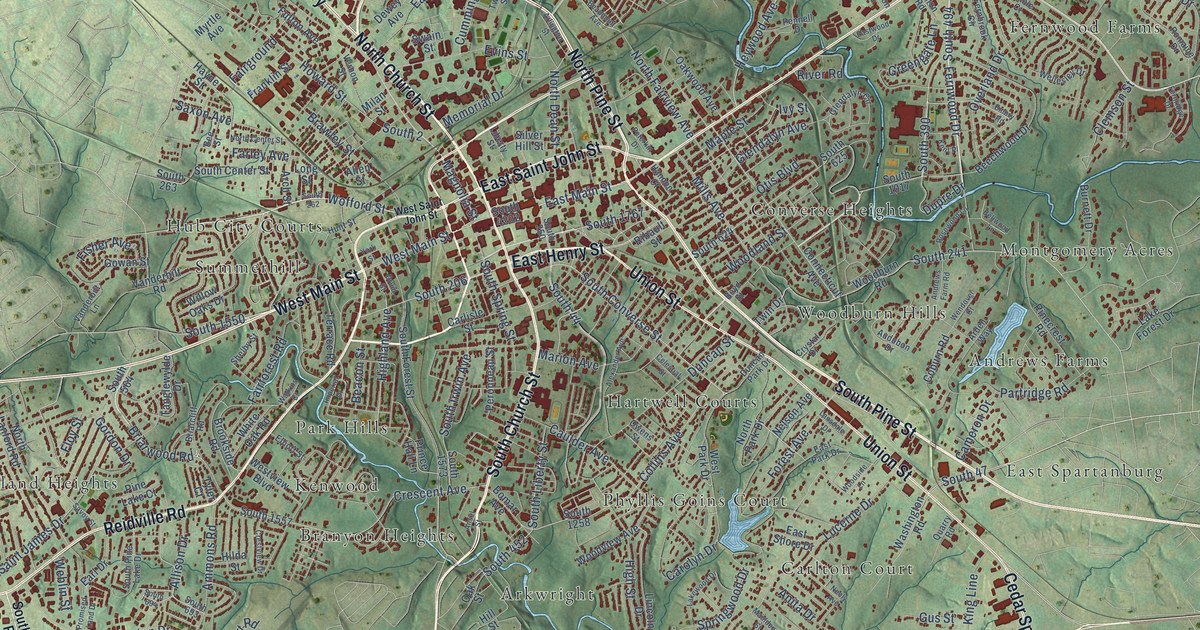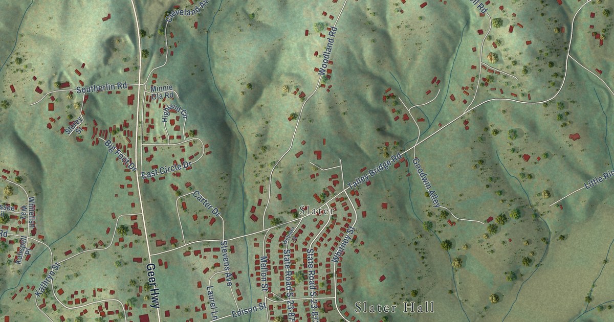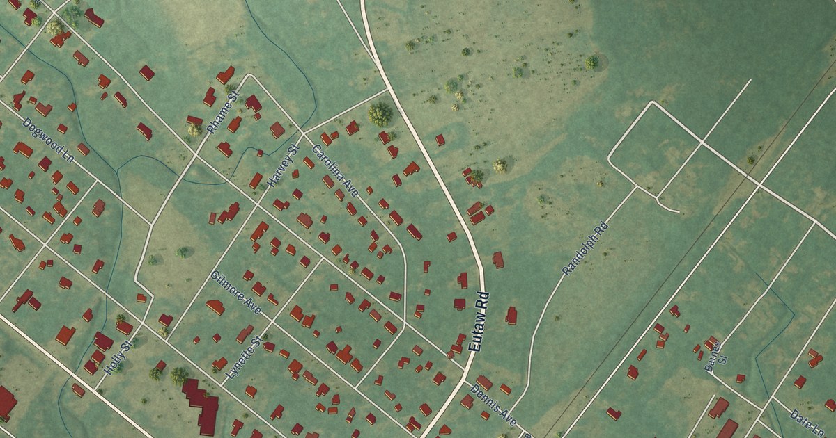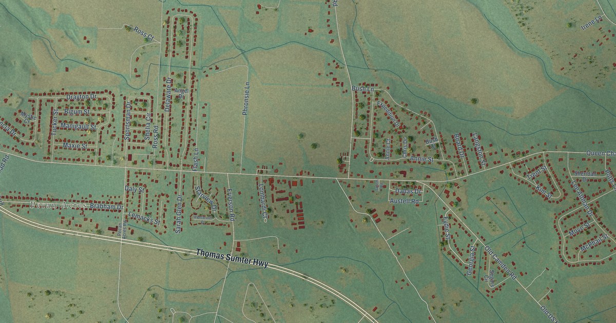
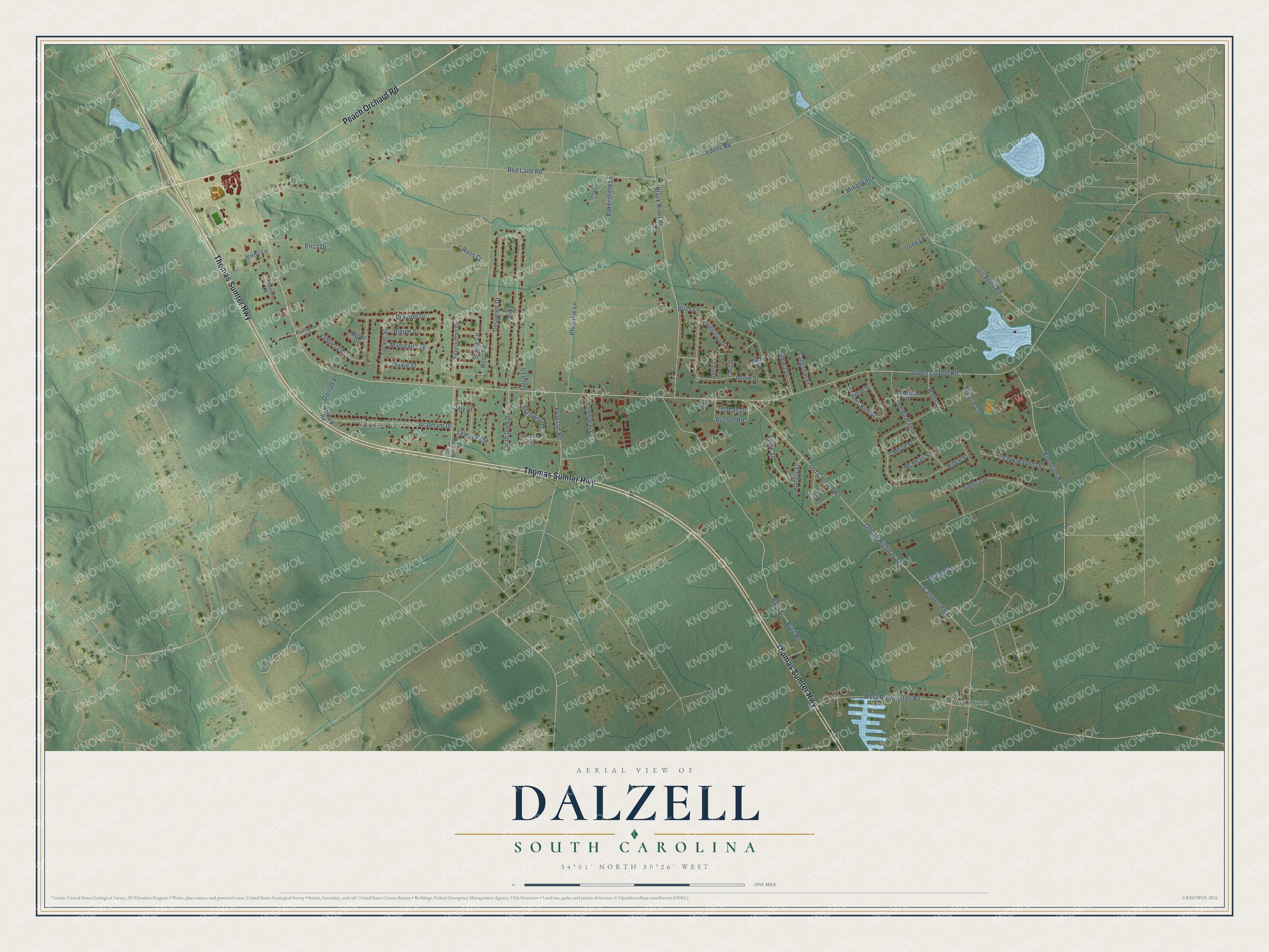
This beautifully detailed map of Dalzell, South Carolina was created in 2026 using aerial imagery combined with modern topographical, census, street and landmark data. It's a modern aerial view of Dalzell in Sumter County, South Carolina, that combines modern data with a vintage aesthetic. The roads feature printed names, and if you look closely you can find your exact house accurately shown in its correct location.
Explore an aerial view of Dalzell, South Carolina
On this map you'll find Pecan Acres, Swinton, Thomas Sumter Highway, Peach Orchard Road, Eydie Street, Annie Street, Sportsman Drive, Camden Highway, Old Camden Road, Old US Highway 521, Red Lane Road, Queen Chapel Road, and more. Each red shape is a building, so zoom in on the preview and look for yours.
Here is a piece of Dalzell history. The Turkish people of Sumter County, most of whom lived around Dalzell, trace their roots to Joseph Benenhaley. Their tradition holds that he was an Ottoman refugee who served as a scout for General Thomas Sumter in the Revolution, and that the grateful general gave him land on his plantation to farm and raise a family. Their community held together for almost two centuries, centered on family, school, church and farm. That's from the Smithsonian Magazine.
Dalzell is a community in Sumter County. The Census Bureau counted 3,175 people here in 2020.
Take a closer look at the Dalzell map
Names on this map
These names are printed on this map.
Places: Pecan Acres and Swinton.
Streets and roads: Thomas Sumter Highway, Peach Orchard Road, Eydie Street, Annie Street, Sportsman Drive, Camden Highway, Old Camden Road, Old US Highway 521, Red Lane Road, Queen Chapel Road, Ardis Pond Road, Delaware Drive.
More street names, A to Z
Alpenglow Drive, Angel Drive, Annie Court, Austell Road, Bakersfield Lane, Beard Drive, Bigum Street, Black River Road, Brabham Drive, Bush Court, Bush Lane, Byrd Road, Byrd Street, Chris Drive, Dallas Drive, Daly Street, Drayton Drive, Ebenezer Road, Edens Road, Eliza Drive, Expedition Drive, Flash Lane, Frierson Road, Gaillad Road, Gaillard Road, Genoa Drive, Georgia Street, Irene Lane, Jenny Lane, Kim Street, Langston Street, Lee Altman Drive, Lemacks Street, Lombardi Court, Manigault Street, Maxie Street, McPhail Street, Mingoknox, Miracle Lane, Moye Street, Mystic Court, Pecan Acres Road, Phronsie Lane, Potts Lane, Ridge Street, Ross Court, Ross Road, Sarah Glen Drive, Segars Circle, Shelia Circle, Sheridan Drive, Starview Drive, Sulem Road, Tarpley Lane, Traditions Place, Trent Street, Trufield Drive, Tucker Street, Valencia Drive, Wentworth Court, West Brewington Road, Yank Haven Drive.
See it on a wall
The Dalzell map as a framed print. Swipe for more.


Created by KNOWOL in 2026. The buildings are small red shapes, the roads carry their printed names, and shaded relief shows the shape of the land. The title panel reads "AERIAL VIEW OF DALZELL, SOUTH CAROLINA" with 34°01' NORTH 80°26' WEST.
It suits a den, a classroom or a front hall, and it makes a gift for anyone with Dalzell roots. Open the preview and find the block you know. See sizes and frames for the Dalzell map.