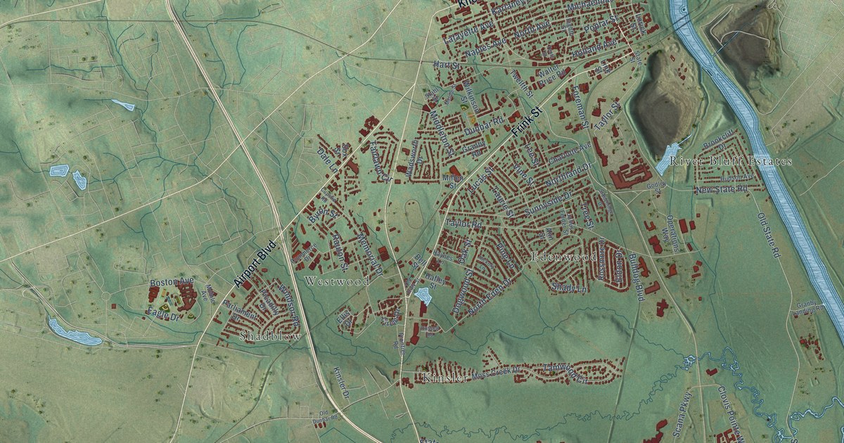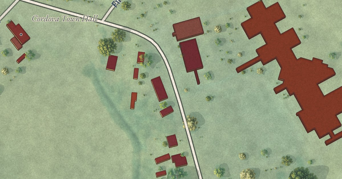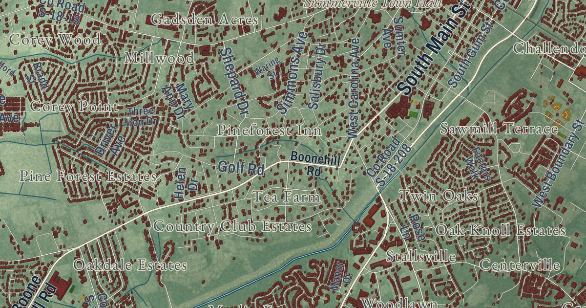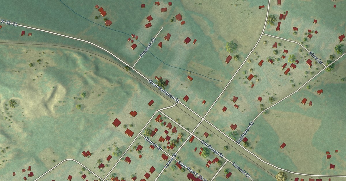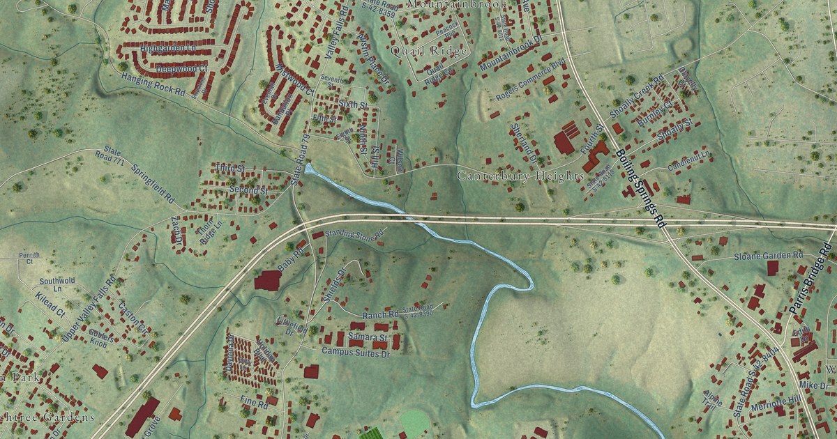
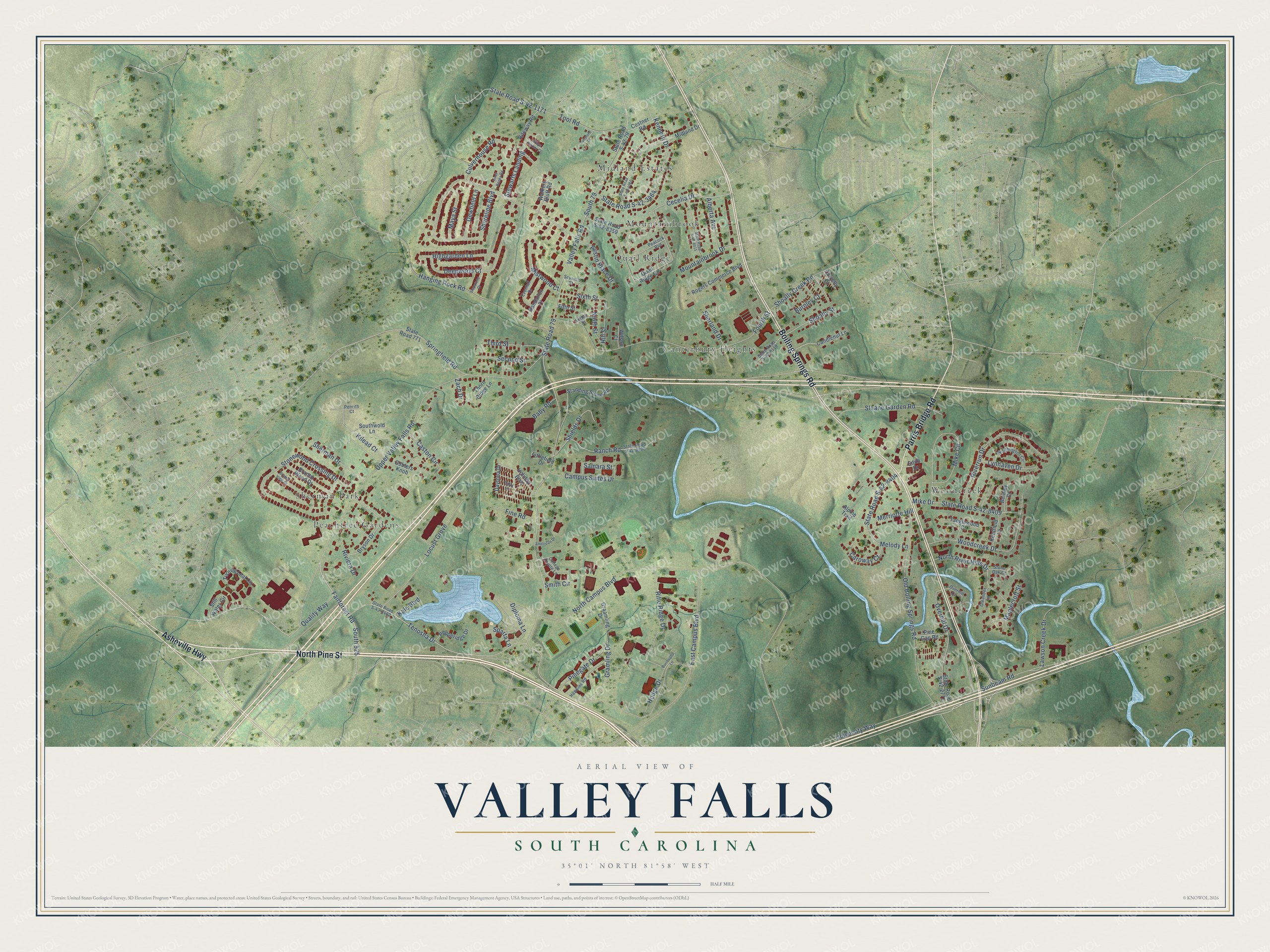
This beautifully detailed map of Valley Falls, South Carolina was created in 2026 using aerial imagery combined with modern topographical, census, street and landmark data. It’s a one-of-a-kind view of Valley Falls that combines accurate data with a vintage aesthetic. The map shows every building in its true location, many of the roads carry their names, and the shaded topographic relief shows the shape of the land.
Explore an aerial view of Valley Falls, South Carolina
On the map you’ll find Canterbury Heights, Midland Estates, Mountainbrook, Peachtree Gardens, Quail Ridge, Sherman Park, and Woodcreek, along with North Pine Street, Boiling Springs Road, Parris Bridge Road, Asheville Highway, Upper Valley Falls Road, and more. If you look closely you can even find your house accurately drawn in its correct location. Zoom in on the preview to look for yours.
Did you know this piece of Valley Falls, South Carolina history?
From the Spartanburg County History: "The factory at Valley Falls, Lawson Fork, was originally built by Mr. James McMakin, of Spartanburg, but was subsequently owned and operated by Messrs. Henry White and William Finger."
Take a closer look at the Valley Falls map
Street and place names on the Valley Falls, South Carolina map
These names are printed on the map of Valley Falls, South Carolina.
Places: Canterbury Heights, Midland Estates, Mountainbrook, Peachtree Gardens, Quail Ridge, Sherman Park and Woodcreek.
Streets and roads: North Pine Street, Boiling Springs Road, Parris Bridge Road, Asheville Highway, Upper Valley Falls Road, University Way, Shoreline Boulevard, Tenosha Drive, Kilead Court, Valley Falls Road, North Campus Boulevard, State Road 79.
More street names, A to Z
Alberta Avenue, Alpine Trail, American Drive, Austin Place Drive, Baby Road, Bandallon Place, Bentley Court, Branch View Drive, Branch Wood Drive, Bryson Drive, Burnley Court, Burroughs Lane, Campus Suites Drive, Candlenut Lane, Caroway Court, Caston Circle, Cecelia Drive, Clovelly Court, College Pointe Lane, Costner Road, Culverhouse Road, Daytona Drive, Deepwood Court, Dewfield Lane, Diploma Lane, East Campus Boulevard, Edith Drive, Eighth Street, Evenfall Drive, Fairforest Road, Fifth Street, Fine Road, Folly Lane, Fourth Street, Goblers Knob, Graamling Drive, Gramling Drive, Grays Harbor Court, Hanging Rock Road, Hawkins Road, Highgarden Lane, Hill Street, Hodge Drive, Holiday Boulevard, Inner Banks Road, Kale Boulevard, Kenneth Drive, Kentfield Lane, Lawson Creek Drive, Littlefield Drive, Locust Grove, Lunsford Drive, Lynhaven Drive, Maplecroft Street, Maya Street, Melody Lane, Merriotte Hill, Midland Drive, Mike Circle, Mike Drive, Mistwood Court, Mountainbrook Drive, Ninth Street, North River Hills Drive, Old Boiling Springs Road, Oleander Lane, Overhill Circle, Overhill Drive, Peacock Run, Penrith Court, Pepperidge Drive, Pine Gap Road, Pinegate Drive, Quail Ridge Circle, Quality Way, Ranch Road, Rifle Ridge Drive, Riteway Road, Riverrun Drive, Riviera Drive, Rogers Commerce Boulevard, Samara Street, Second Street, Seventh Street, Sherland Drive, Sherman Drive, Shields Drive, Shoally Creek Road, Shoally Street, Sixth Street, Sloane Garden Road, Smith Circle, South 79, South 525, Southwold Lane, Sparta Lane, Springfield Road, Standing Stone Road, State Road 771, State Road S-42-79, State Road S-42-1171, State Road S-42-2771, State Road S-42-3462, State Road S-42-3464, State Road S-42-4010, State Road S-42-8015, State Road S-42-8118, State Road S-42-8359, State Road S-42-8390, State Road S-42-8404, State Road S-42-8409, Stepstone Drive, Stewarts Landing, Still Water Circle, Stone Oak Court, Stonewood Crossing Drive, Sunbeam Road, Tanglewood Court, Third Street, Thorn Ridge Lane, Tool Road, Turning Leaf Circle, Walkers Bluff Road, Wilson Court, Woodcreek Drive, Worthington Circle, Zach Drive.
See the Valley Falls, South Carolina map on a wall
The Valley Falls map as an 18 x 24 inch print in a black frame.

This beautifully detailed map of Valley Falls makes an attractive addition to your office, library, or den, and it can even be used to teach children the geography and history of the area. It also makes a great gift for anyone who grew up in Valley Falls or moved away. When you’re done exploring, click here to get your copy of the Valley Falls map.