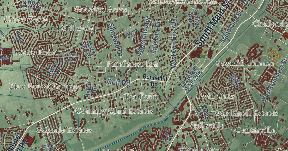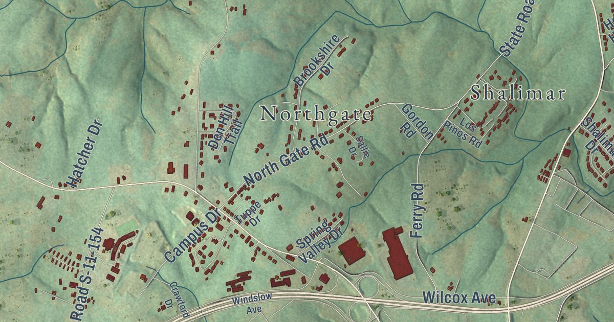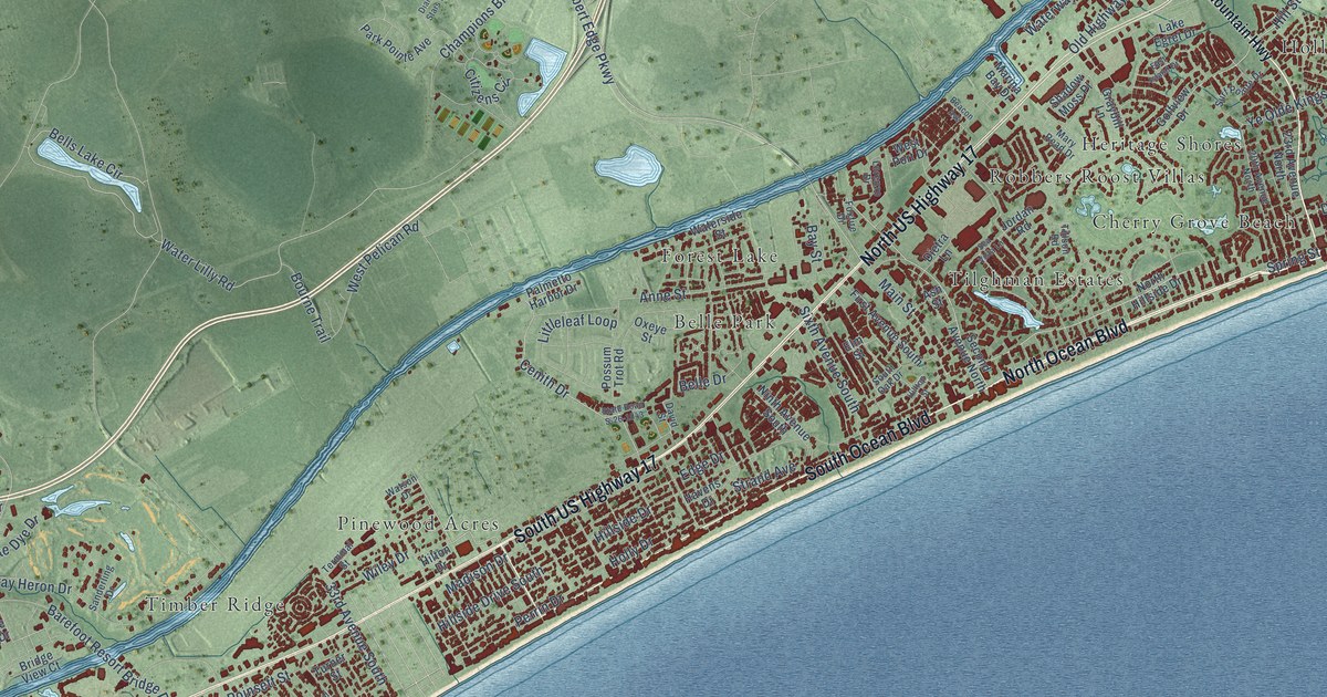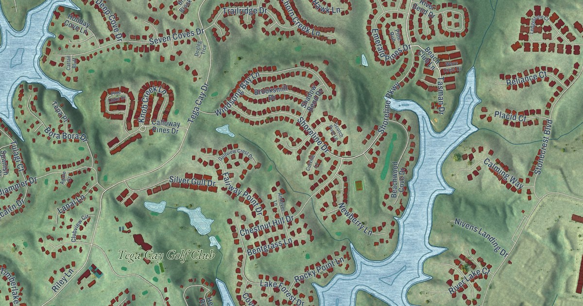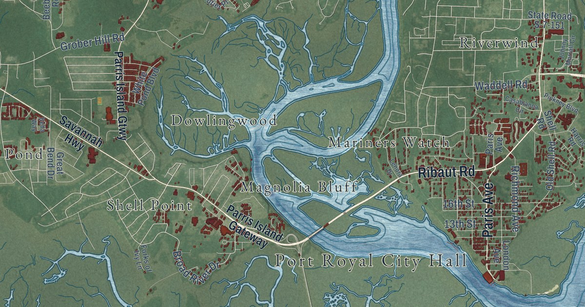
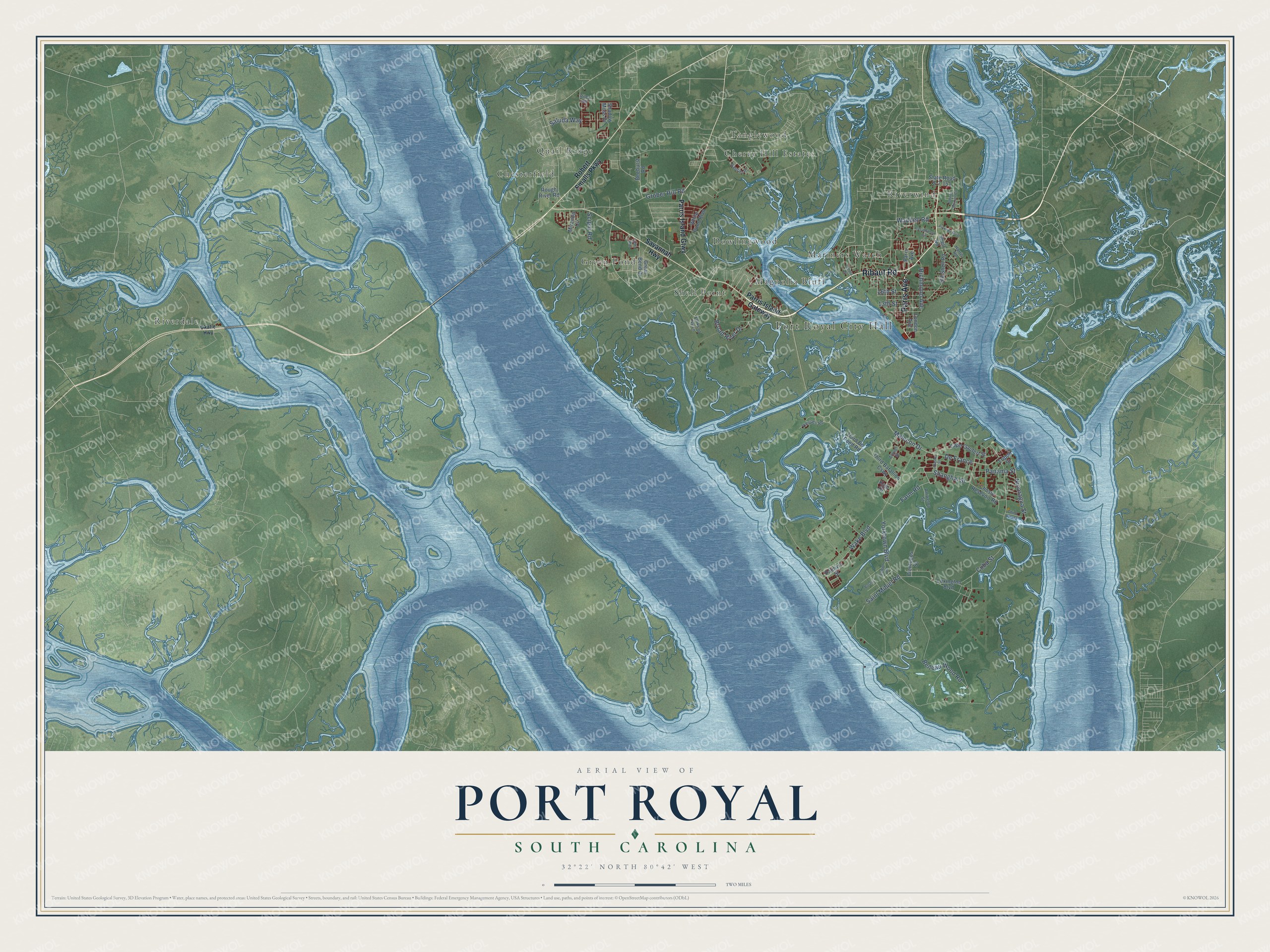
This beautifully detailed map of Port Royal, South Carolina was created in 2026 using aerial imagery combined with modern topographical, census, street and landmark data. It’s a one-of-a-kind view of Port Royal that combines accurate data with a vintage aesthetic. The map shows every building in its true location, many of the roads carry their names, and the shaded topographic relief shows the shape of the land.
Explore an aerial view of Port Royal, South Carolina
On the map you’ll find Port Royal City Hall, Cherry Hill Estates, Chesterfield, Dowlingwood, Green Pond, Magnolia Bluff, Mariners Watch, Quail Ridge, Riverdale, Riverwind, Shell Point, Tanglewood, and more. If you look closely you can even find your house accurately drawn in its correct location. Zoom in on the preview to look for yours.
Did you know this piece of Port Royal, South Carolina history?
From Scencyclopedia.org: "Town, railroad, and harbor facilities followed, and Port Royal was incorporated on March 9, 1874."
Take a closer look at the Port Royal map
Street and place names on the Port Royal, South Carolina map
These names are printed on the map of Port Royal, South Carolina.
Places: Port Royal City Hall, Cherry Hill Estates, Chesterfield, Dowlingwood, Green Pond, Magnolia Bluff, Mariners Watch, Quail Ridge, Riverdale, Riverwind, Shell Point and Tanglewood.
Streets and roads: Ribaut Road, Paris Avenue, Malecon Drive, De France, Farm Road, Saluda Way, Shanghai Street, Belleau Wood Road, Wake Boulevard, Cuba Street, Yorktown Boulevard, Panama Street.
More street names, A to Z
13th Street, 16th Street, Alaska Street, Aniwetoa Street, Atsugi Street, Beeburst Road, Bella Way, Bosnia, Broad River Drive, Cape Gaufert Street, Casablanca Circle, China Hutung, Chosin Resevoir Road, Cienfugos Street, Forks of Ivy Lane, Gautier Place, Great Bend Drive, Grober Hill Road, Harris Road, Johnny Morrall Circle, Kojo Drive, Lenora Drive, Lexington Boulevard, London Avenue, Miranda Circle, Nicaragua Street, Okatie Highway, Old Shell Road, Palmyra Street, Parris Island Gateway, Parris Island Gtwy, Pinkney Boulevard, Richmond Avenue, Riley Road, Robert Smalls Parkway, Rough River Road, Saigon Drive, Saint Mihiel Road, Savannah Highway, Scipio Road, Shadow Moss Drive, Shell Road, State Road S-7-151, Third Batallion Causeway, Third Bn Pond Road, Tripoli Street, Vieques Road, Waddell Road, White Pond Boulevard.
See the Port Royal, South Carolina map on a wall
The Port Royal map as an 18 x 24 inch print in a black frame.

This beautifully detailed map of Port Royal makes an attractive addition to your office, library, or den, and it can even be used to teach children the geography and history of the area. It also makes a great gift for someone who left Port Royal and still calls it home. When you’re done exploring, click here to get your copy of the Port Royal map.