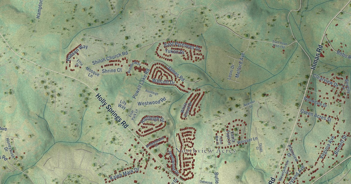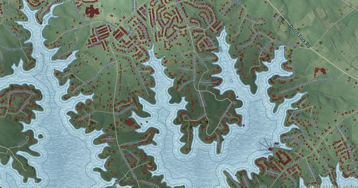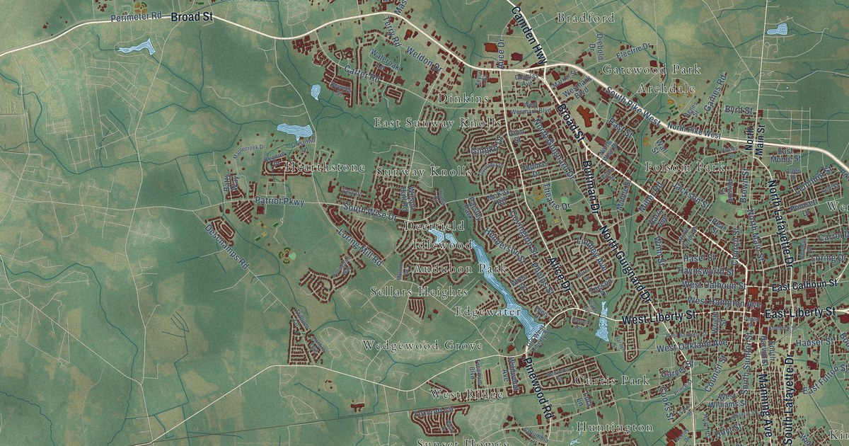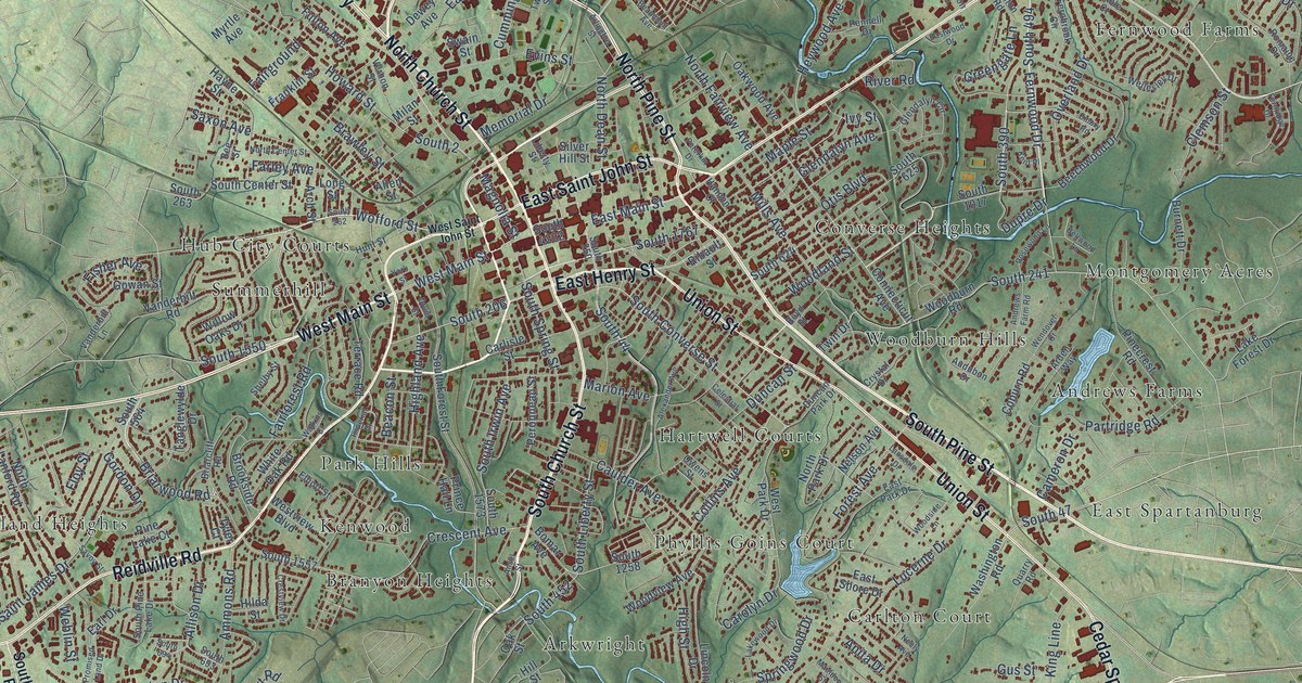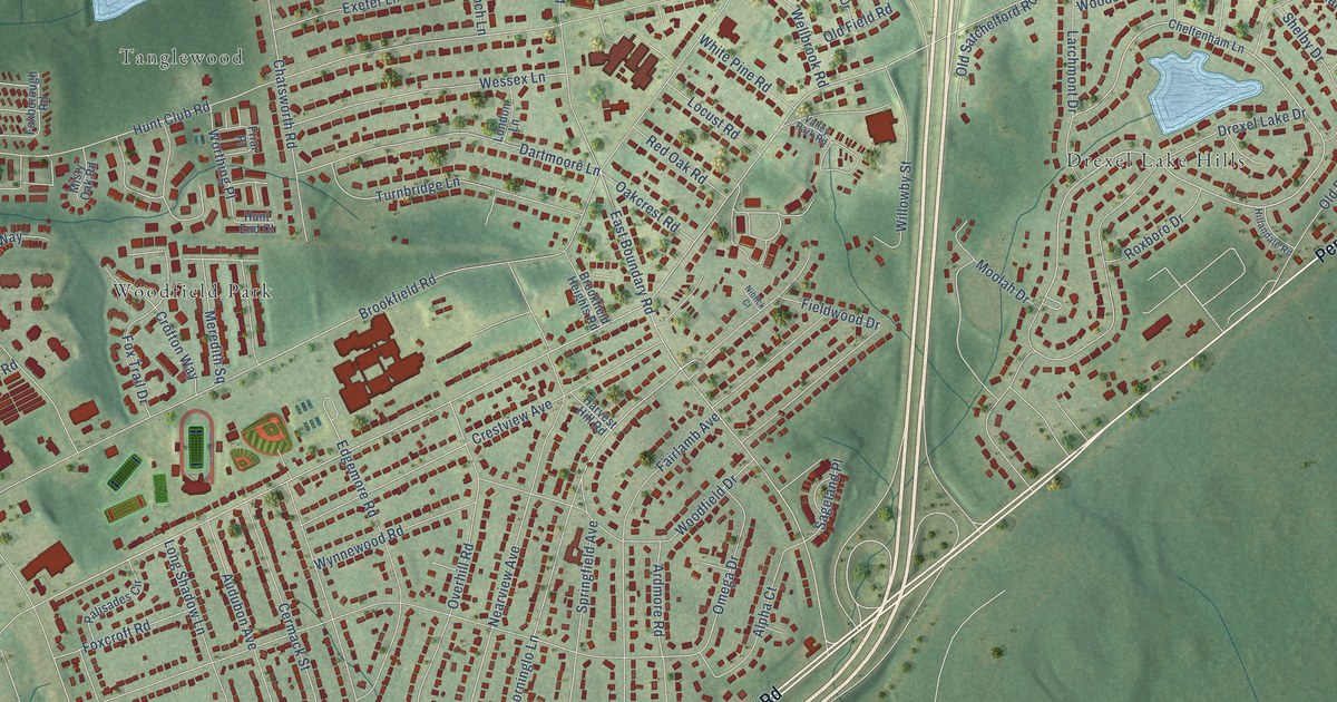
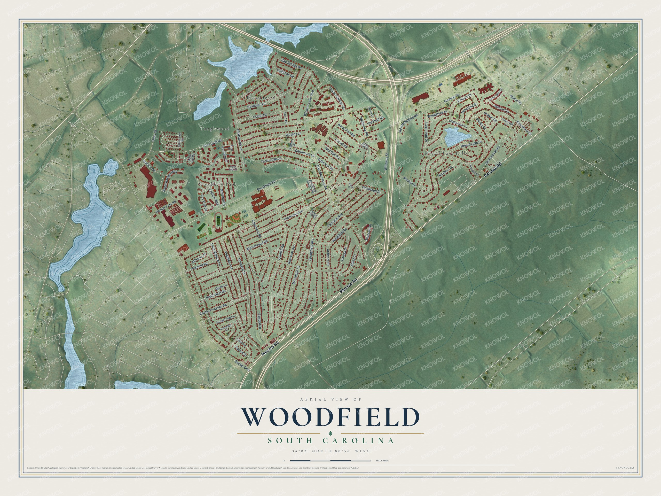
This beautifully detailed map of Woodfield, South Carolina was created in 2026 using aerial imagery combined with modern topographical, census, street and landmark data. It's a modern aerial view of Woodfield in Richland County, South Carolina, that combines modern data with a vintage aesthetic. The roads feature printed names, and if you look closely you can find your exact house accurately shown in its correct location.
Explore an aerial view of Woodfield, South Carolina
On this map you'll find Drexel Lake Hills, Huntington, Tanglewood, Woodfield Park, Percival Road, Faraway Drive, Hunt Club Road, East Boundary Road, Meredith Square, Morninglo Lane, Brookfield Road, Omega Drive, and more. Each red shape is a building, so zoom in on the preview and look for yours.
Every town has a first chapter, and Woodfield is no exception. The Richland Northeast High School puts it this way: "Richland Northeast High School is proud to announce that we have been officially designated as a Nationally Certified-Demonstration Magnet School by Magnet Schools of America (MSA), the leading national organization for magnet education."
Woodfield is a community in Richland County. The Census Bureau counted 9,199 people here in 2020.
Take a closer look at the Woodfield map
Names on this map
These names are printed on this map.
Places: Drexel Lake Hills, Huntington, Tanglewood and Woodfield Park.
Streets and roads: Percival Road, Faraway Drive, Hunt Club Road, East Boundary Road, Meredith Square, Morninglo Lane, Brookfield Road, Omega Drive, Decker Boulevard, Drexel Lake Drive, Fairlamb Avenue, Overhill Road.
More street names, A to Z
Alpha Court, Alpine Road, Angel Garden Way, Ardmore Road, Audubon Avenue, Bay Springs Road, Brookfield Heights Road, Brookhirst Court, Bywood Drive, Castle Pinckney Road, Castleton Lane, Cedar Glen Lane, Cermack Street, Chatsworth Road, Cheltenham Lane, Coral Vine Lane, Crestview Avenue, Crofton Way, Cullasaja Circle, Dartmoore Lane, Decker Park Road, Dupont Drive, Edgemore Road, Exeter Lane, Fieldwood Drive, Foxborough Road, Foxcroft Road, Fox Trail Drive, Friar Place, Gavin Drive, Harvest Hill Road, Hillandale Road, Hunt End Court, Kneece Road, Larchmont Drive, Leabrook Road, Lilac Lane, Loch Lane, Locust Road, London Lane, Long Shadow Lane, Misty Oak Road, Moolah Drive, Nearview Avenue, Niblick Court, Oakcrest Road, Old Field Road, Old Percival Road, Old Satchelford Road, Oneil Court, Palisades Circle, Pennfield Drive, Philmont Drive, Pontiac Drive, Quaker Road, Quiet Lane, Red Oak Road, Robin Nest Road, Roxboro Drive, Sageland Place, Shelby Drive, Springfield Avenue, Tarpon Springs Road, Teakwood Lane, Turnbridge Lane, Valley Park Road, Wellbrook Road, Wessex Lane, White Pine Road, Willowby Street, Windsor Lake Boulevard, Woodfield Drive, Woodstock Drive, Worthing Place, Wynnewood Road.
Created by KNOWOL in 2026. The buildings are small red shapes, the roads carry their printed names, and shaded relief shows the shape of the land. The title panel reads "AERIAL VIEW OF WOODFIELD SOUTH CAROLINA" with 34°03' NORTH 80°56' WEST.
Hang it in the hallway, the office or the cabin, or give it to someone who left Woodfield and still calls it home. Open the preview and look for a street you know. See sizes and frames for the Woodfield map.