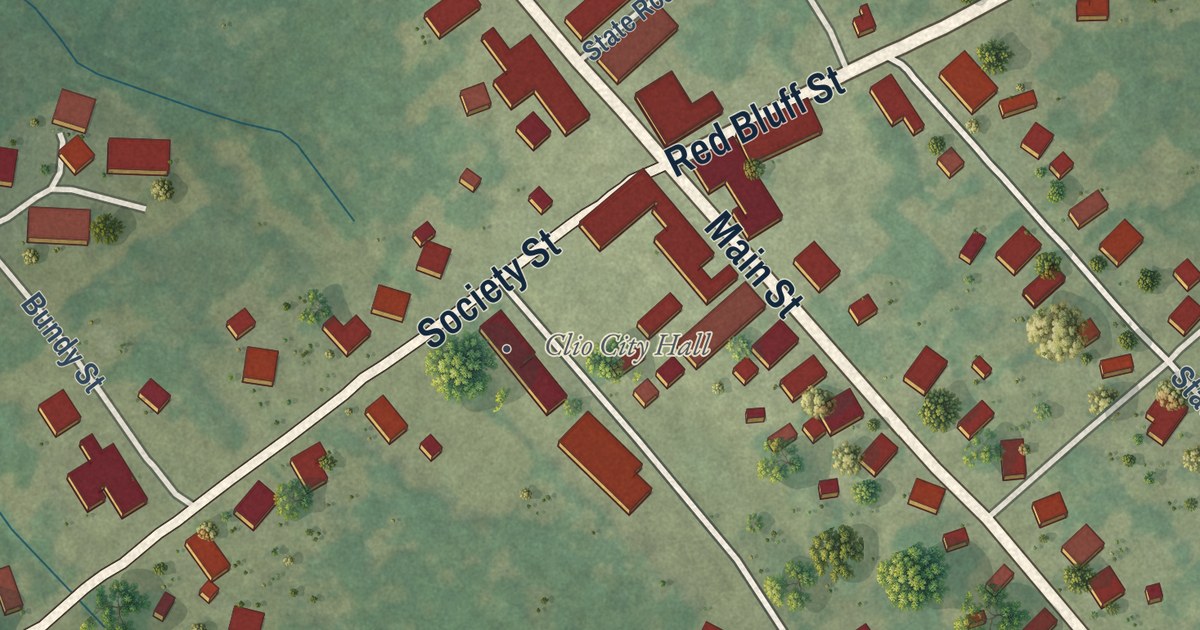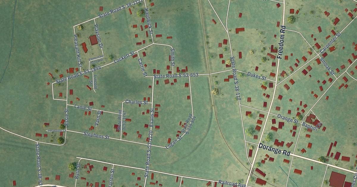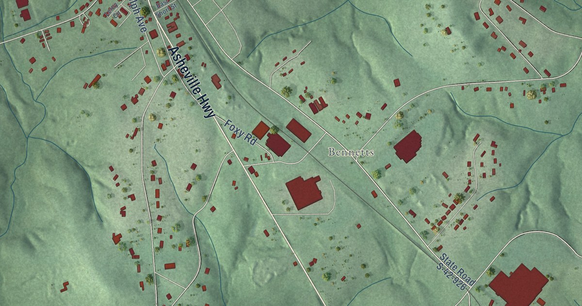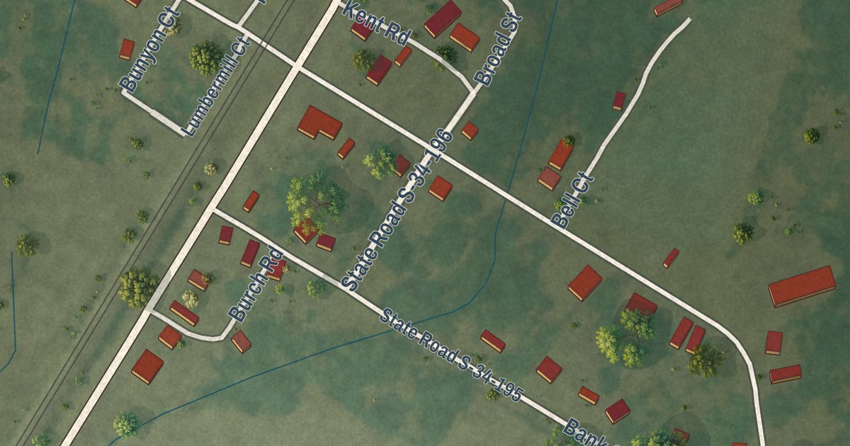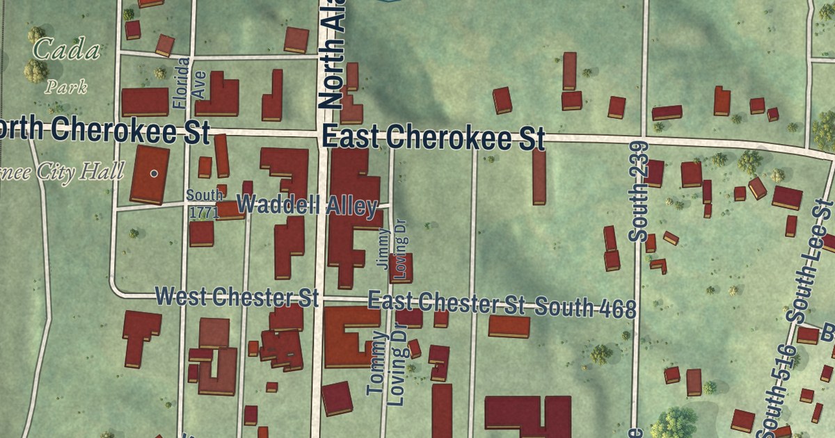
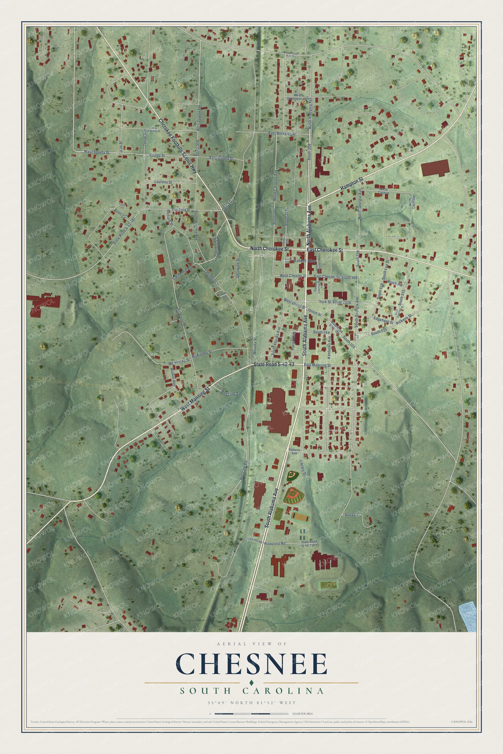
This beautifully detailed map of Chesnee, South Carolina was created in 2026 using aerial imagery combined with modern topographical, census, street and landmark data. It’s a one-of-a-kind view of Chesnee that combines accurate data with a vintage aesthetic. The map shows every building in its true location, many of the roads carry their names, and the shaded topographic relief shows the shape of the land.
Explore an aerial view of Chesnee, South Carolina
On the map you’ll find Chesnee City Hall, Cada Park, and South 206, along with North Alabama Avenue, South Alabama Avenue, Hampton Street, East Cherokee Street, West Manning Street, Cherokee Foothills Scenic Highway, North Cherokee Street, State Road S-42-43, Pickens Street, and more. If you look closely you can even find your house accurately drawn in its correct location. Zoom in on the preview to look for yours.
Did you know this piece of Chesnee, South Carolina history?
From SCIWAY: "Chesnee was officially chartered in March 7, 1911. Early enterprises included both a lumber mill and the Chesnee Cotton Mill, which both served to further increase the town's population."
Take a closer look at the Chesnee map
Street and place names on the Chesnee, South Carolina map
These names are printed on the map of Chesnee, South Carolina.
Places: Chesnee City Hall and Cada Park.
Streets and roads: North Alabama Avenue, South Alabama Avenue, Hampton Street, East Cherokee Street, West Manning Street, Cherokee Foothills Scenic Highway, North Cherokee Street, State Road S-42-43, South 206, Pickens Street, South 514, South 103.
More street names, A to Z
Avita Lane, Brock Road, California Avenue, California Street, Delaware Street, East Berkeley Street, East Chester Street, East Manning Street, East Saluda Street, Edgefield Street, Ezell Circle, Fairfield Street, Florida Avenue, Foster Circle, Georgia Avenue, Jimmy Loving Drive, Kentucky Avenue, Laurens Street, Lexington Street, Library Street, Loft Burnett Road, McKinney Street, Mc Kinney Street, Nevada Street, North Carolina Avenue, North Cash Avenue, North Cash Street, North Georgia Avenue, North Virginia Avenue, Ohio Street, Parris Alley, Pickens Avenue, Pinecrest Road, Red Line Avenue, Red Line Road, Richard Street, Richland Street, Saluda Street, South 239, South 464, South 468, South 469, South 515, South 516, South 549, South 1516, South 1534, South 1771, South Cash Avenue, South Florida Avenue, South Georgia Avenue, South Lee Street, South Virginia Avenue, State Road S-42-101, State Road S-42-103, State Road S-42-187, State Road S-42-7183, Ted Circle, Texas Avenue, Tommy Loving Drive, Union Street, Utah Street, Waddell Alley, Walker Avenue, West Berkeley Street, West Chester Street, West Greenwood Street, West Saluda Street, West Union Street, York Street.
See the Chesnee, South Carolina map on a wall
The Chesnee map as an 18 x 24 inch print in a black frame.

This beautifully detailed map of Chesnee makes an attractive addition to your office, library, or den, and it can even be used to teach children the geography and history of the area. It also makes a great gift for someone who left Chesnee and still calls it home. When you’re done exploring, click here to get your copy of the Chesnee map.