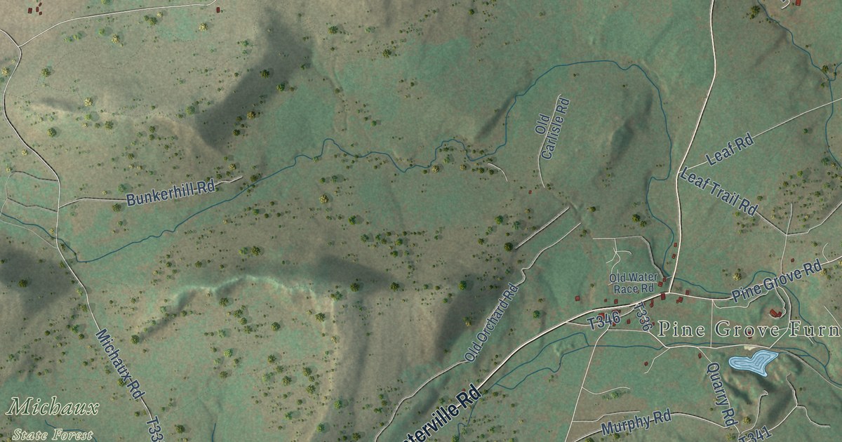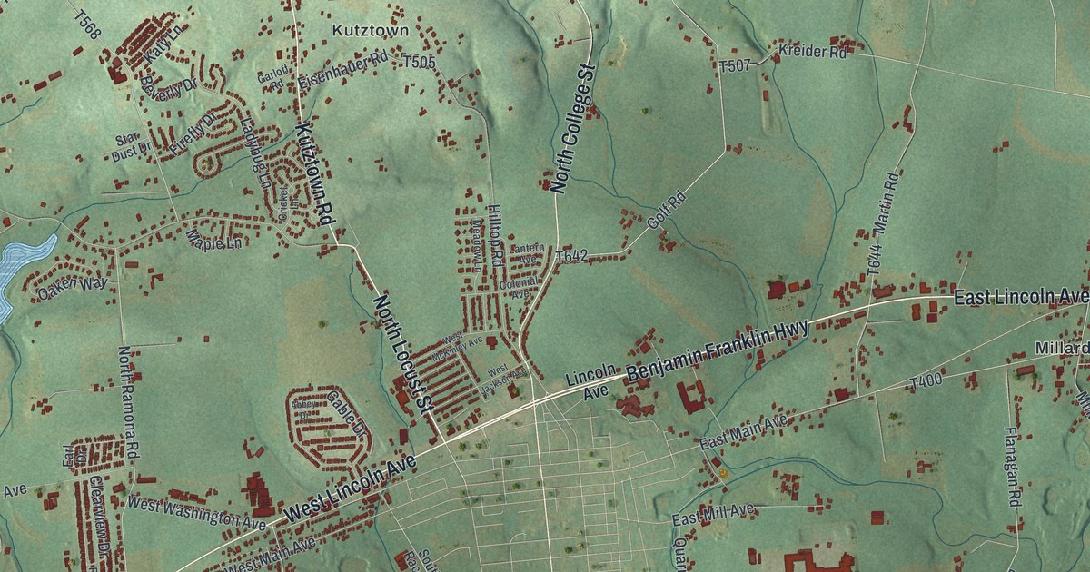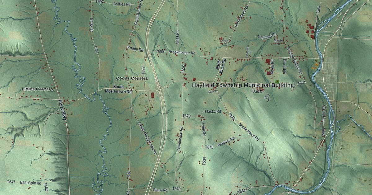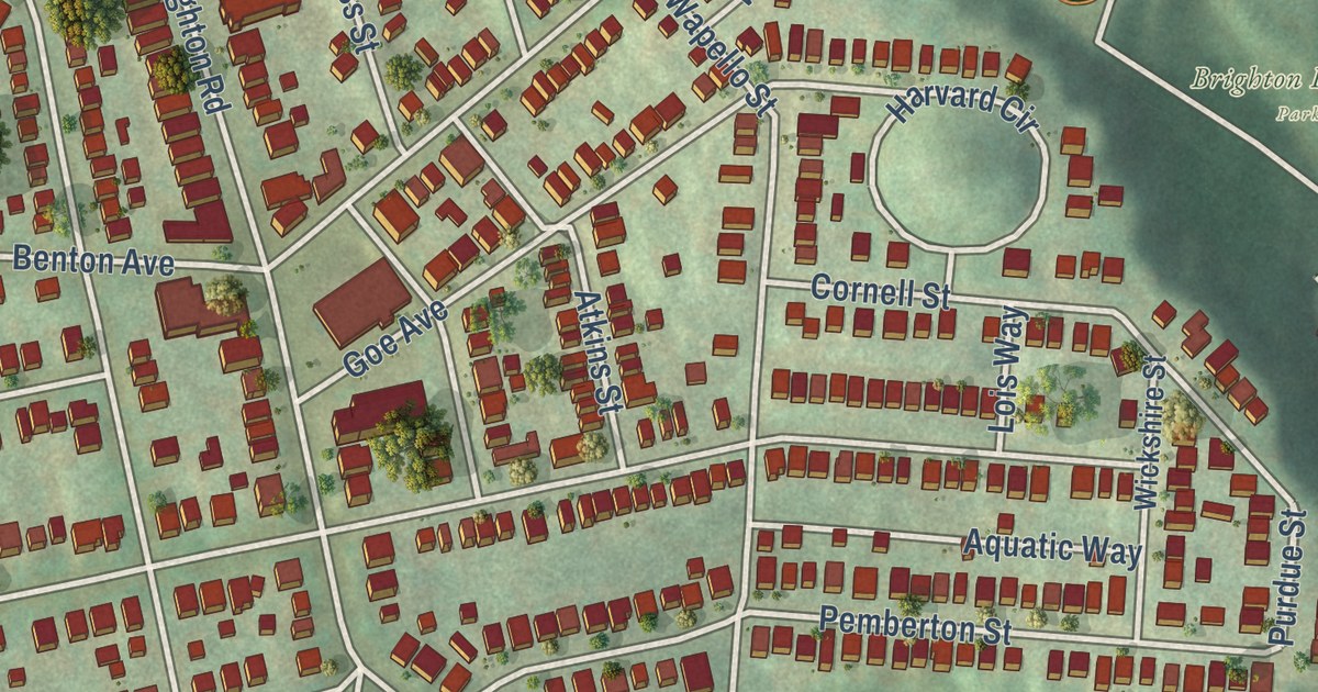
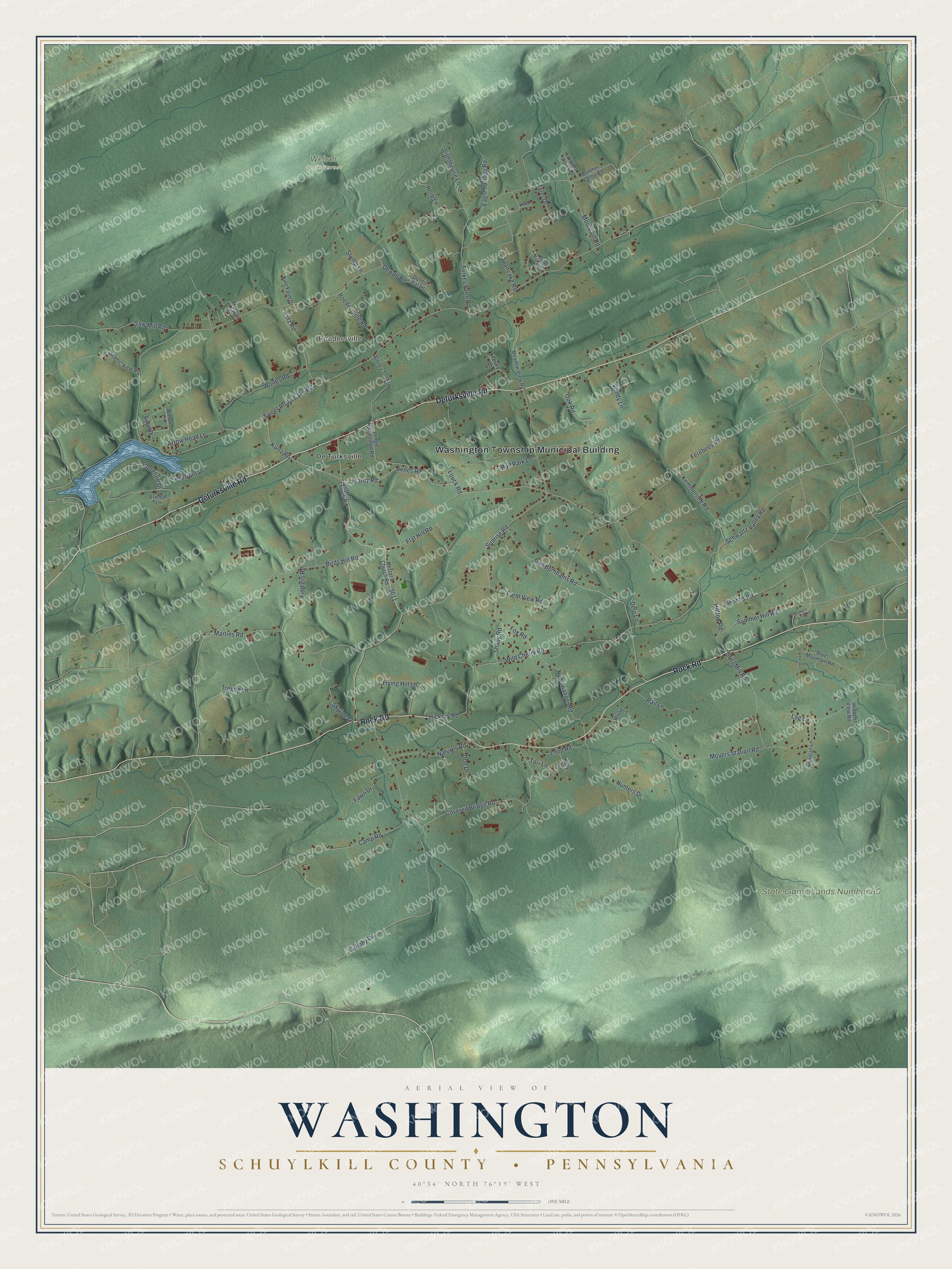
This beautifully detailed map of Washington, Schuylkill County, Pennsylvania was created in 2026 using aerial imagery combined with modern topographical, census, street and landmark data. It’s a one-of-a-kind view of Washington that combines accurate data with a vintage aesthetic. The map shows every building in its true location, many of the roads carry their names, and the shaded topographic relief shows the shape of the land.
Explore an aerial view of Washington, Schuylkill County, Pennsylvania
On the map you’ll find Washington Township Municipal Building, Roedersville, State Game Lands Number 80, Weiser State Forest, and De Turksville, along with Rock Road, Deturksville Road, Frantz Road, Mountain Road, Sweet Arrow Lake Road, Dad Burnhams Road, Wild Cherry Road, and more. If you look closely you can even find your house accurately drawn in its correct location. Zoom in on the preview to look for yours.
Did you know this piece of Washington, Schuylkill County, Pennsylvania history?
From the 1881 History of Schuylkill County, Pennsylvania: "After his death his son Michael continued to operate the first mill until the beginning of the present century; then carried on another upon the same site until his death, many years later."
Take a closer look at the Washington, Schuylkill County map
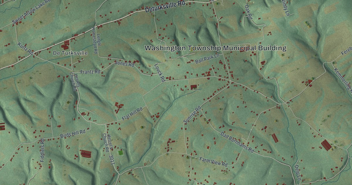
Street and place names on the Washington, Schuylkill County, Pennsylvania map
These names are printed on the map of Washington, Schuylkill County, Pennsylvania.
Places: Washington Township Municipal Building, Roedersville, State Game Lands Number 80, Weiser State Forest and De Turksville.
Streets and roads: Rock Road, Deturksville Road, Frantz Road, Mountain Road, Sweet Arrow Lake Road, Dad Burnhams Road, Wild Cherry Road, Covered Bridge Road, Moyers Station Road, Flat Hill Road, Ferebees Road, Birds Hill Road.
More street names, A to Z
Arrow Head Lane, Ball Park Lane, Blue Mountain Road, Broad Drive, Brown's Church Road, Browns Road, Camp Road, Delp Lane, Dennis Pat Lane, Dewalt Road, Doe Drive, Eagle Springs Road, Elwood Lane, Farm View Road, Fawn Drive, Fiddlers Road, Flying Hill Lane, Fox Road, Grist Mill Road, Harvey Drive, Herb Lane, Hetzel's Church Road, Hetzels Church Road, Hickory Road, Hidden Acres Drive, Hidden View Road, Hilltop Road, Hunters Drive, Jones Road, Kemmerling Road, Koty Lane, Kurtz Road, Kutz Farm Drive, Kutz Road, Lakefront Drive, Lengle Homestead Road, Lighthouse Lane, Log Lane, Loop Road, Louck Road, Lowland Road, Martins Road, Mason Drive, Meadow View Road, Morgan Lane, Natures Road, Newswanger Road, Oak Road, Panther Valley Road, Pine Tree Drive, Rail Lane, Roedersville Road, Saw Mill Road, Scenic View Road, Schwartz Valley Road, Shady Road, Shoreline Drive, Skyline Lane, Spancake Road, Stoney Top Road, Stump Lane, Summer Hill Road, Sunrise Road, Tori Lane, Tregeg Lane, Trophy Drive, Turkey Farm Road, Tyler Drive, Whitetail Lane, Willow Lane, Windy Lane, Wolfes Road, Wood Lane.
See the Washington, Schuylkill County, Pennsylvania map on a wall
The Washington, Schuylkill County map as an 18 x 24 inch print in a black frame.

This beautifully detailed map of Washington, Schuylkill County makes an attractive addition to your office, library, or den, and it can even be used to teach children the geography and history of the area. It also makes a great gift for someone who left Washington and still calls it home. When you’re done exploring, click here to get your copy of the Washington, Schuylkill County map.