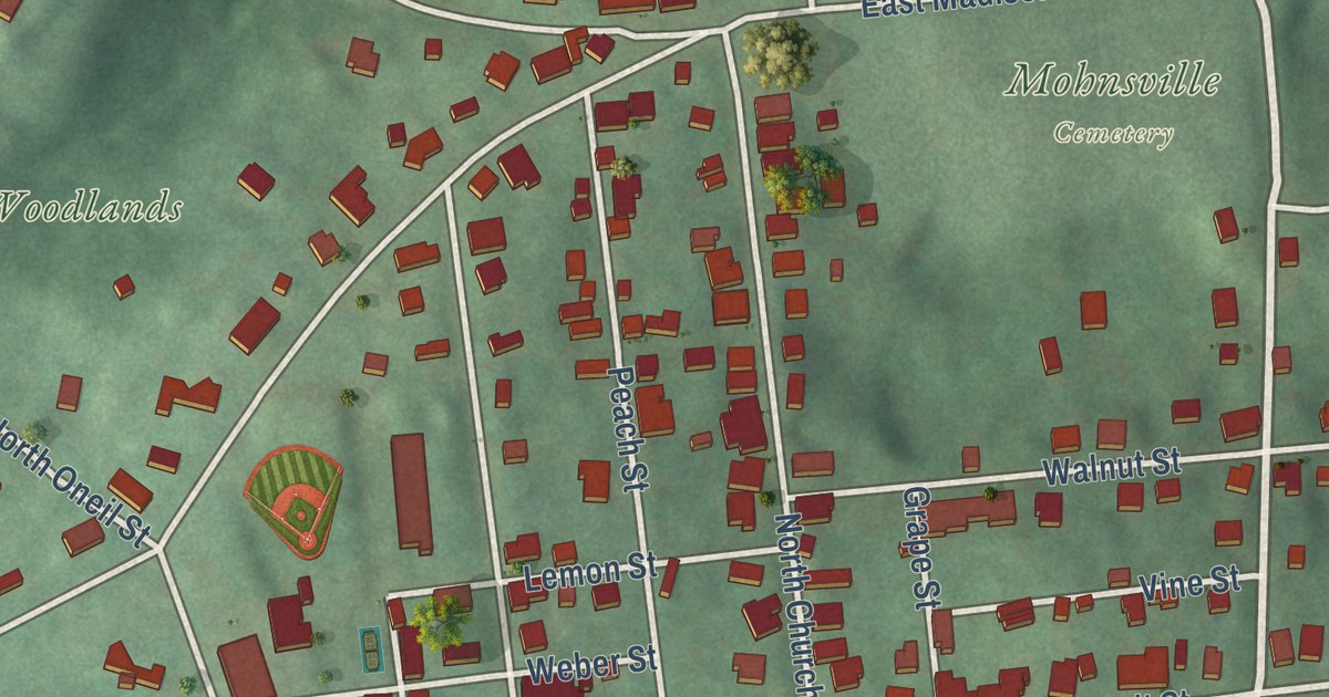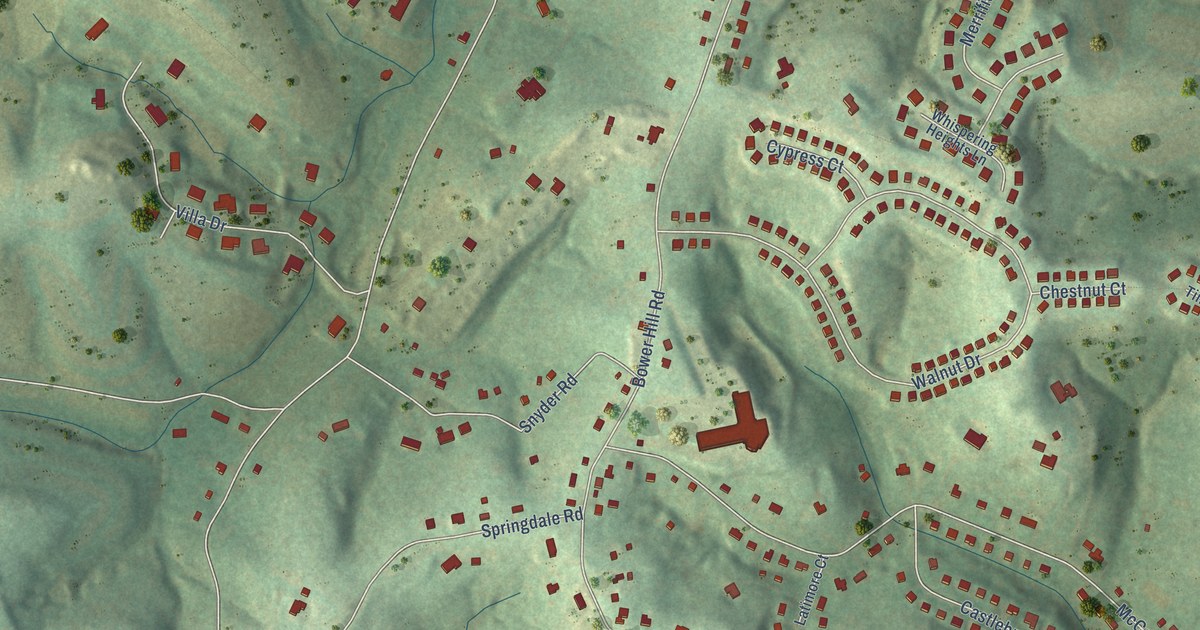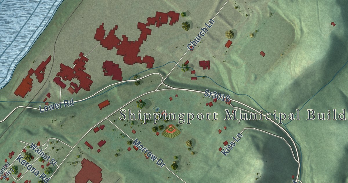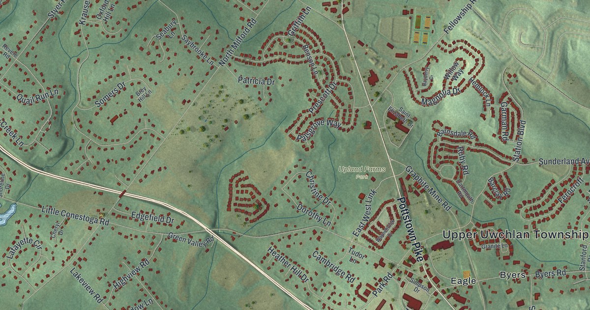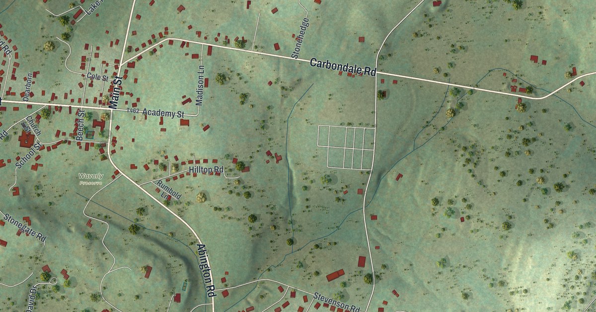
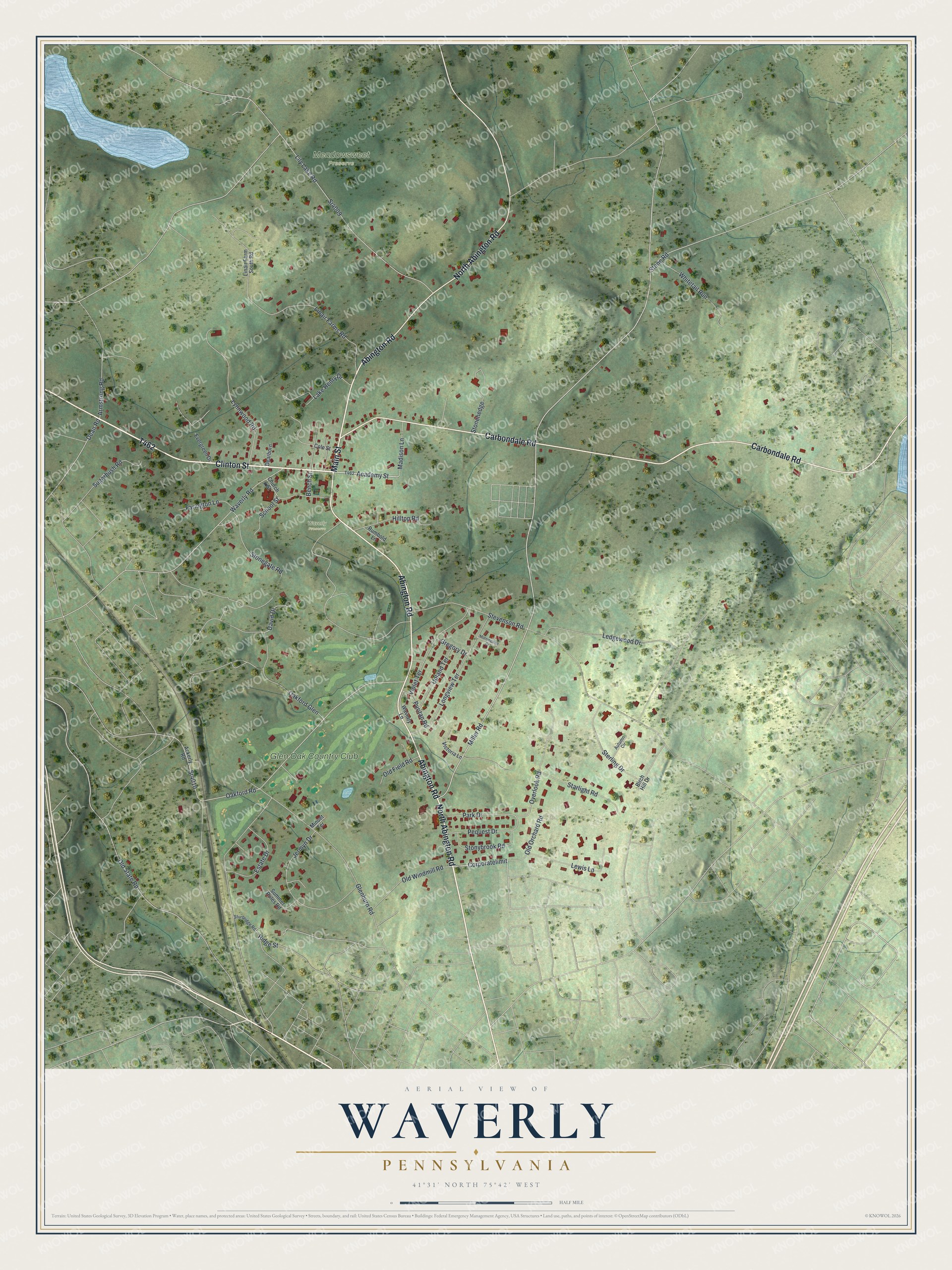
This beautifully detailed map of Waverly, Pennsylvania was created in 2026 using aerial imagery combined with modern topographical, census, street and landmark data. It’s a one-of-a-kind view of Waverly that combines accurate data with a vintage aesthetic. The map shows every building in its true location, many of the roads carry their names, and the shaded topographic relief shows the shape of the land.
Explore an aerial view of Waverly, Pennsylvania
On the map you’ll find Meadowsweet Preserve, Waverly Preserve, Glen Oak Country Club, and Corporatelimit, along with North Abington Road, Clinton Street, Abington Road, Carbondale Road, Main Street, Academy Street, Overlook Road, and more. If you look closely you can even find your house accurately drawn in its correct location. Zoom in on the preview to look for yours.
Did you know this piece of Waverly, Pennsylvania history?
From Data.pa.gov: "Established in 1807 in Waverly, then known as Abington Center, the cemetery is the burial ground for many fugitives from slavery who came to the area via the Underground Railroad in the mid-19th century."
Take a closer look at the Waverly map
Street and place names on the Waverly, Pennsylvania map
These names are printed on the map of Waverly, Pennsylvania.
Places: Meadowsweet Preserve, Waverly Preserve and Glen Oak Country Club.
Streets and roads: North Abington Road, Clinton Street, Abington Road, Carbondale Road, Main Street, Academy Street, Corporatelimit, Overlook Road, Miller Road, Old State Road, Oakford Road, Sr4010.
More street names, A to Z
Ackerly Road, Armstrong Road, Autumn Circle, Beech Street, Birch Hill Drive, Church Street, Cole Street, David Drive, Dean Road, Dearborn, Estate Drive, Evergreen Drive, Farington Lane, Glenburn Road, Gregory Drive, Hilltop Road, Jermyn Drive, Lake Henry Drive, Ledgewood Drive, Lewis Lane, Lily Lake Road, Linair Farm South Road, Linair Farms Road, Longview Terrace, Lynnwood Road, Madison Lane, Minuet Terrace, Morningside Drive, Oakford Glen, Old Field Road, Old Orchard Road, Old Windmill Road, Park Drive, Pequest Drive, Puritan Road, Ridge Street, Rumbold Lane, School Street, Sr4009, Starlight Road, Sterling Drive, Stevenson Road, Stonegate Road, Stonehedge, Stone Road, Stonybrook Road, Sturbridge Road, Sugarbush Road, Summer Rules Road, Upland Terrace, Victoria Lane, Violet Terrace, Waverly Lane, Waverly Road, Whitetail Run.
See the Waverly, Pennsylvania map on a wall
The Waverly map as an 18 x 24 inch print in a black frame.

This beautifully detailed map of Waverly makes an attractive addition to your office, library, or den, and it can even be used to teach children the geography and history of the area. It also makes a great gift for anyone who grew up in Waverly or moved away. When you’re done exploring, click here to get your copy of the Waverly map.