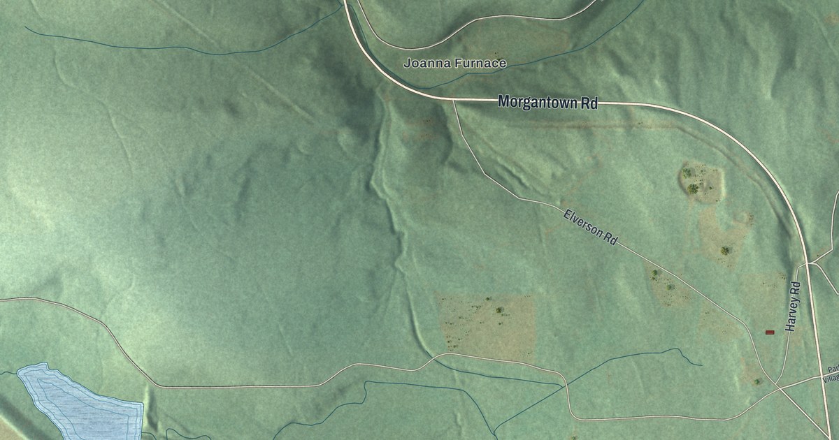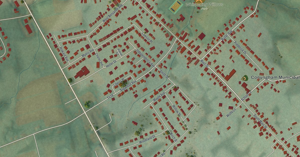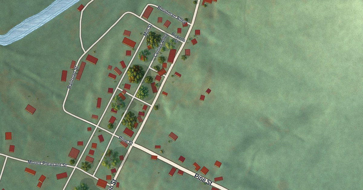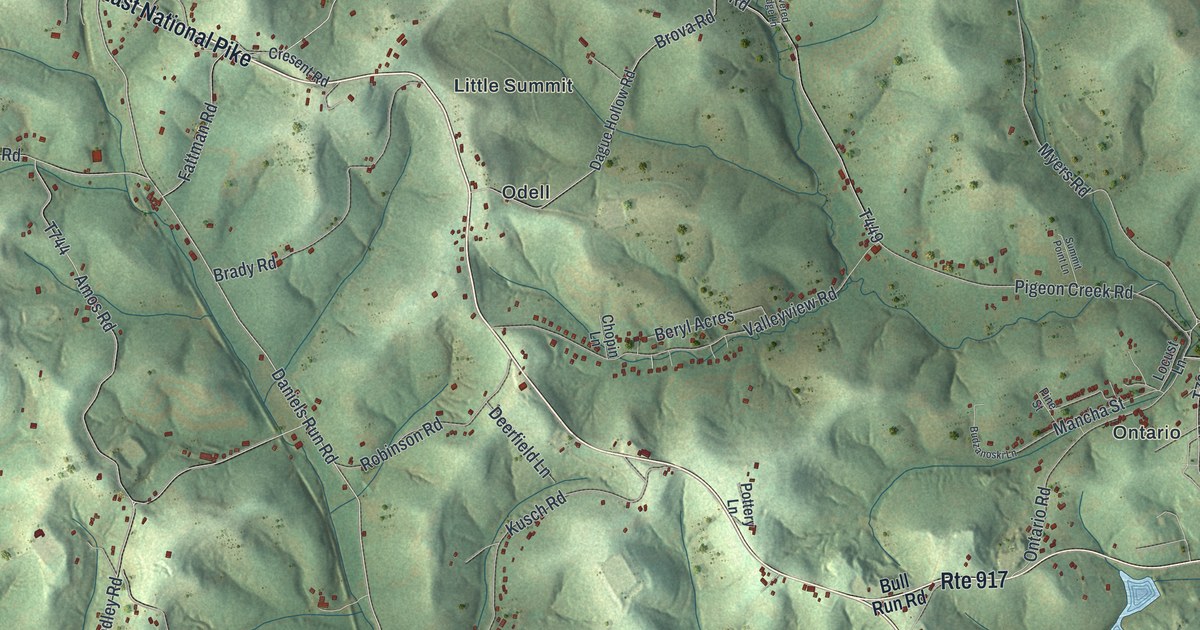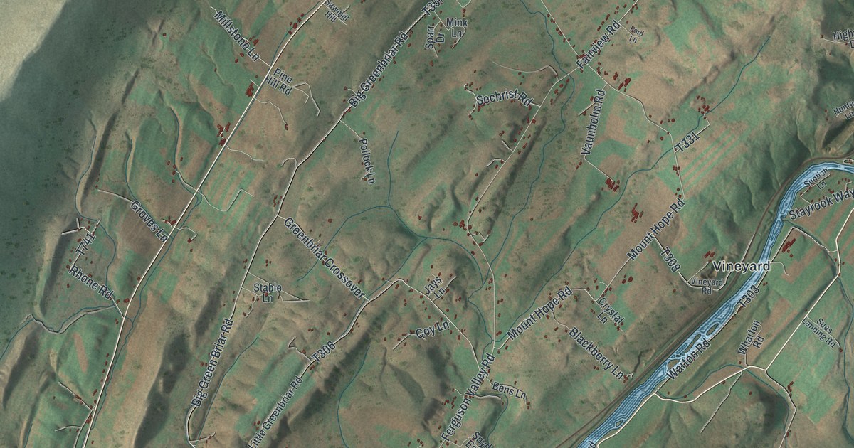
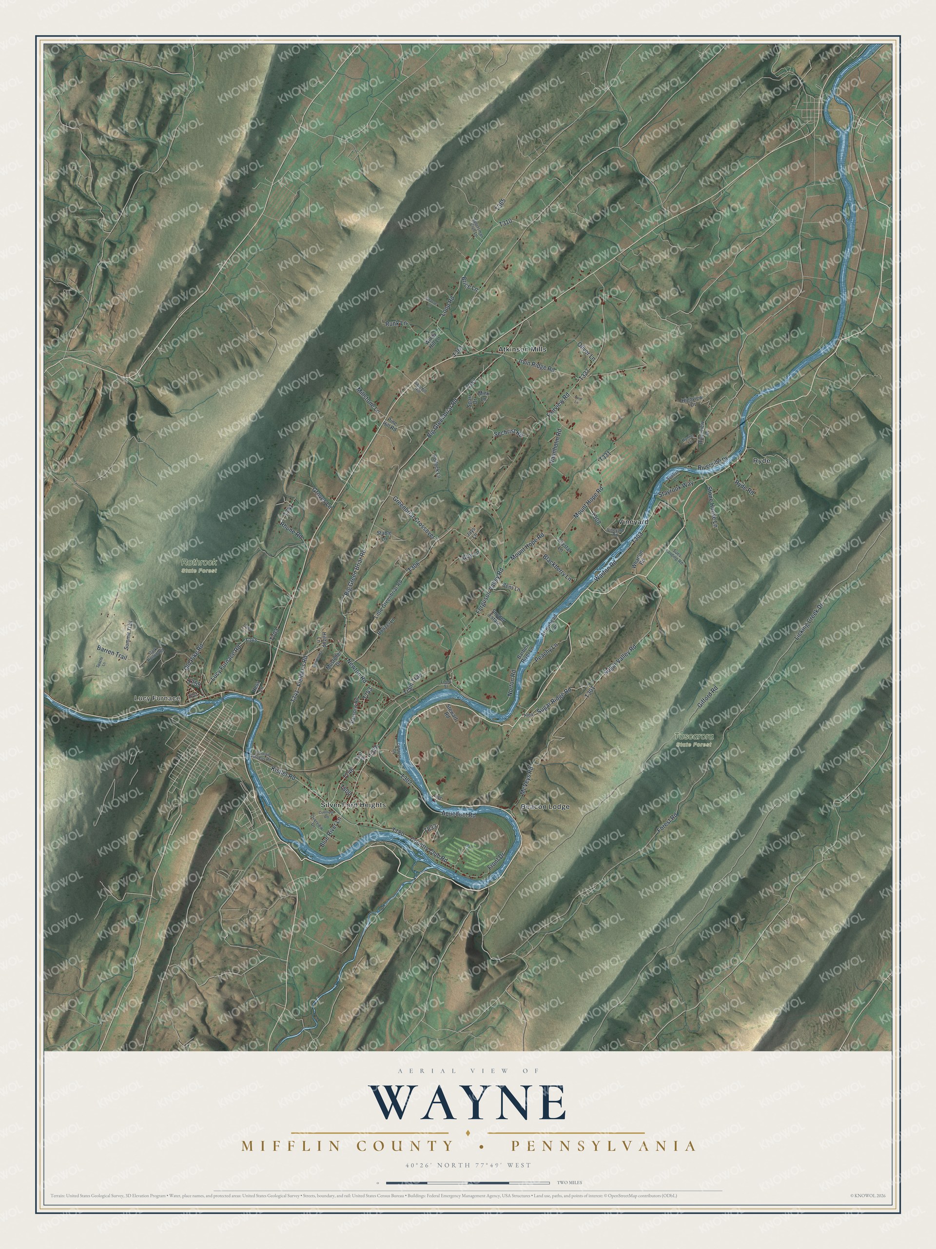
This beautifully detailed map of Wayne, Mifflin County, Pennsylvania was created in 2026 using aerial imagery combined with modern topographical, census, street and landmark data. It's a modern aerial view of Wayne, Mifflin County in Mifflin County, Pennsylvania, that combines modern data with a vintage aesthetic. The roads feature printed names, and if you look closely you can find your exact house accurately shown in its correct location.
Explore an aerial view of Wayne, Mifflin County, Pennsylvania
On this map you'll find Lucy Furnace, Rothrock State Forest, Tuscarora State Forest, Atkinson Mills, Beacon Lodge, Ryde, Silver Ford Heights, Vineyard, Ferguson Valley Road, Kistler Road, T759, Old Pike Road, and more. Each red shape is a building, so zoom in on the preview and look for yours.
Wayne, Mifflin County is a place in Mifflin County. The Census Bureau counted 2,360 people here in 2020. The map prints the town name in its title panel, with the coordinates below it.
Take a closer look at the Wayne, Mifflin County map
Names on this map
These names are printed on this map.
Places: Lucy Furnace, Rothrock State Forest, Tuscarora State Forest, Atkinson Mills, Beacon Lodge, Ryde, Silver Ford Heights and Vineyard.
Streets and roads: Ferguson Valley Road, Kistler Road, Old Pike Road, Mount Hope Road, Newton Road, Rhone Road, Big Greenbriar Road, Big Green Briar Road, Licking Creek Drive, Sugar Valley Road, Gifford Road, Loop Road.
More street names, A to Z
Aqueduct Road, Arrowhead Trail, Barben River Lane, Barren Trail, Bens Lane, Blackberry Lane, Blue River Lane, Boozel Lane, Brice Lane, Campsite Circle, Cohfnour Road, Conrail Access Road, Country Club Road, Coy Lane, Crystal Lane, Dark Hollow Road, Fairview Road, Fielder's Road, First Street, Ford Lane, Forest Road, Front Drive, Front Street, Gearhart Drive, Greenbriar Crossover, Groves Lane, Hess Lane, Highview Drive, Hilltop Lane, Hunter Lane, Irvin Ridge Road, Jays Lane, Little Greenbriar Road, Long Lane, Lucy Furnace Road, McVeys Road, Millstone Lane, Mink Lane, Mostoller Drive, Norton Road, Oliver Lane, Overview Drive, Parsons Road, Peachy Lane, Pine Hill Road, Pollock Lane, Quick Lane, Riverside Drive, Riverview Drive, Runk Lane, Ryde Road, Sawmill Hill, Sechrist Road, Snyder Estate, Spacht Lane, Sparr Drive, Sportsman Club Lane, Stable Lane, Stayrook Way, Stewart Road, Stone House Lane, Strauser Lane, Sues Landing Road, Sugar Ridge Road, Summit Trail, Sunfish Lane, Train Trail, Vaunholm Road, Vineyard Road, Warton Road, Wharton Road, Windy Hill Lane.
Created by KNOWOL in 2026. The buildings are small red shapes, the roads carry their printed names, and shaded relief shows the shape of the land. The title panel reads "AERIAL VIEW OF WAYNE MIFFLIN COUNTY • PENNSYLVANIA" with 4, 0, °, 2, 6, ', , N, O, R, T, H, , 7, 7, °, 4, 9, ', , W, E, S, T.
Hang it in the hallway, the office or the cabin, or give it to someone who left Wayne, Mifflin County and still calls it home. Open the preview and look for a street you know. See sizes and frames for the Wayne, Mifflin County map.