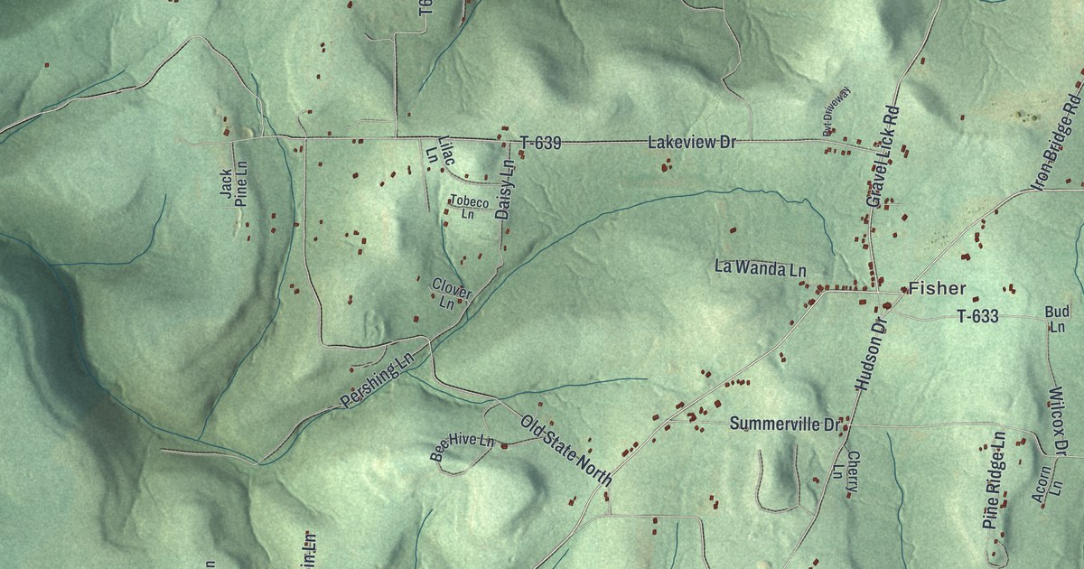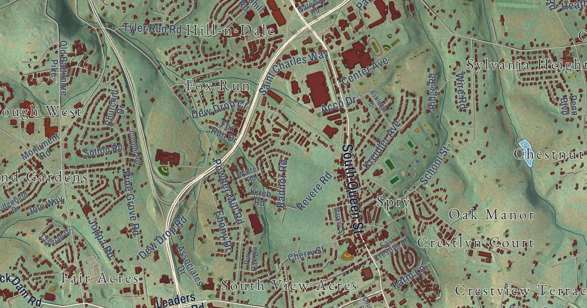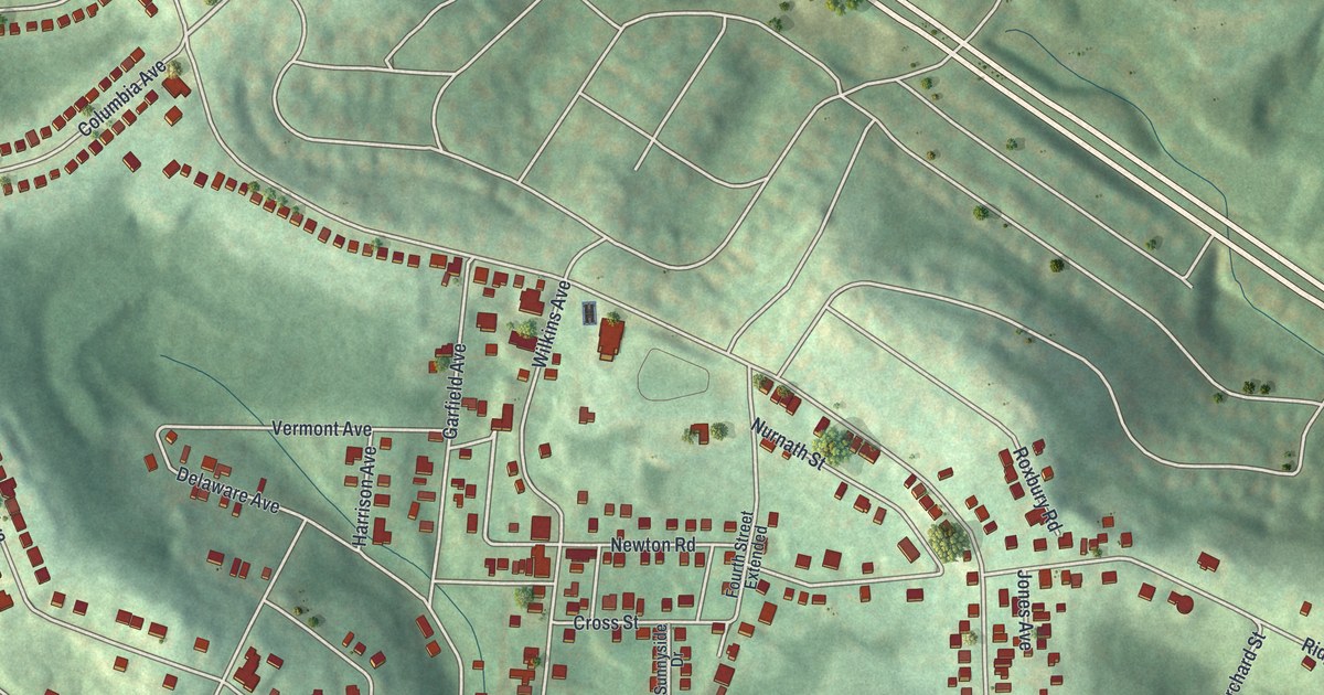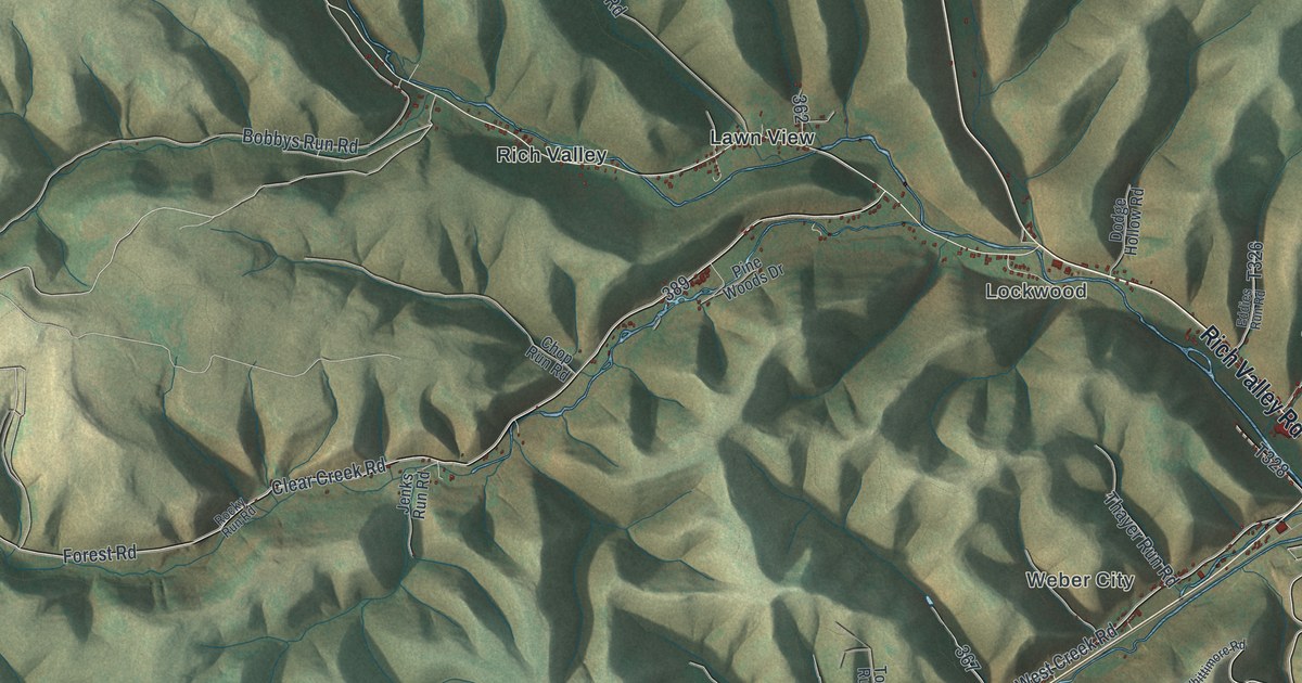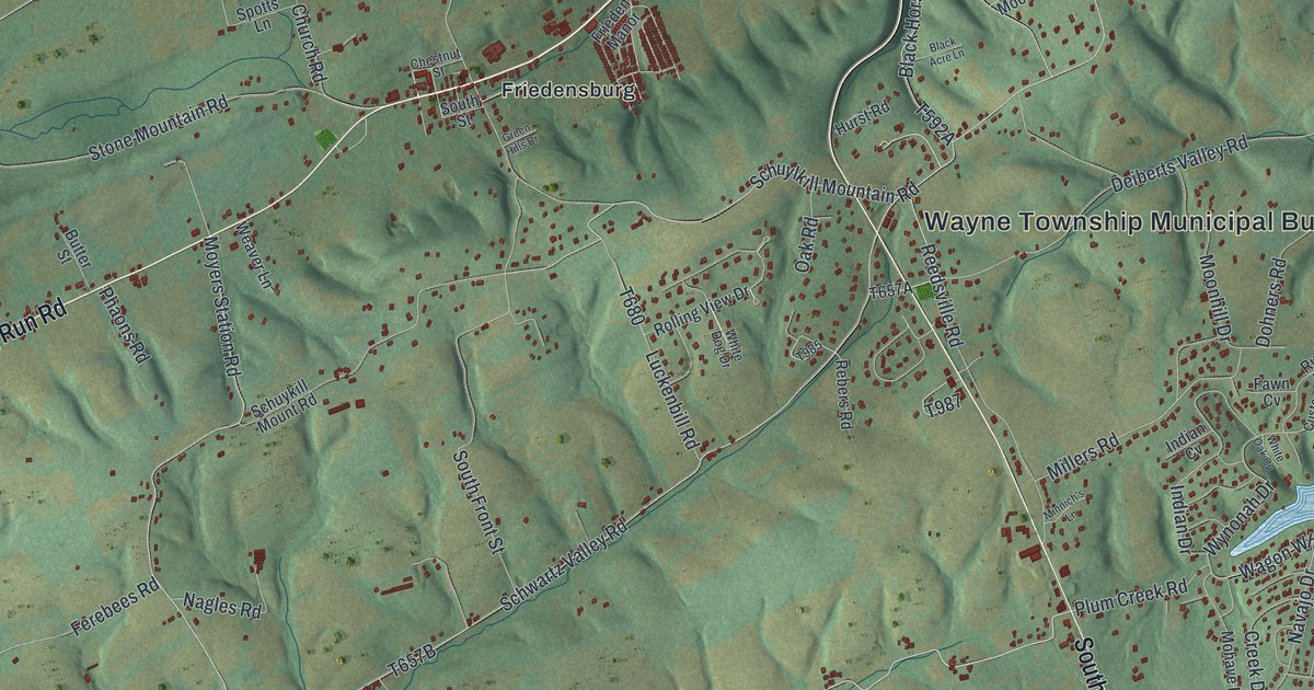
This beautifully detailed map of Wayne, Schuylkill County, Pennsylvania was created in 2026 using aerial imagery combined with modern topographical, census, street and landmark data. It’s a one-of-a-kind view of Wayne that combines accurate data with a vintage aesthetic. The map shows every building in its true location, many of the roads carry their names, and the shaded topographic relief shows the shape of the land.
Explore an aerial view of Wayne, Schuylkill County, Pennsylvania
On the map you’ll find Wayne Township Municipal Building, State Game Lands Number 110, Weiser State Forest, Friedensburg, Moyers, Roeders, Stonemont, and Summit Station, along with Long Run Road, Fair Road, Wynonah Drive, Wagon Wheel Drive, and more. If you look closely you can even find your house accurately drawn in its correct location. Zoom in on the preview to look for yours.
Did you know this piece of Wayne, Schuylkill County, Pennsylvania history?
From the 1881 History of Schuylkill County, Pennsylvania: "But this quiet acquiescence did not satisfy the Jeffersonians; and, bringing the influence of their arms and superior numbers to bear on their already chap-fallen opponents, they compelled them to march three time around the pole, and give three cheers for it each time, before they permitted them to go away."
Take a closer look at the Wayne, Schuylkill County map
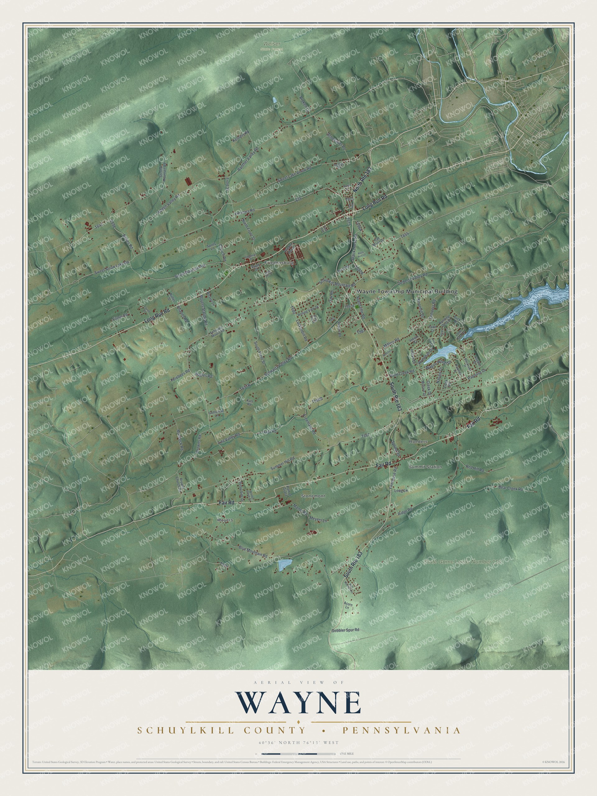
Street and place names on the Wayne, Schuylkill County, Pennsylvania map
These names are printed on the map of Wayne, Schuylkill County, Pennsylvania.
Places: Wayne Township Municipal Building, State Game Lands Number 110, Weiser State Forest, Friedensburg, Moyers, Roeders, Stonemont and Summit Station.
Streets and roads: North Route 183, South Route 183, Long Run Road, Fair Road, Wynonah Drive, Wagon Wheel Drive, Lutz Road, Papoose Drive, Stone Mountain Road, Summer Hill Road, Panther Valley Road, Moyers Station Road.
More street names, A to Z
Acorn Lane, Bear Creek Road, Bittles Road, Black Acre Lane, Blackhawk Drive, Black Horse Road, Blue Mountain Heights, Blue Mountain Road, Broken Lane, Browns Church Road, Browns Road, Buck Drive, Butter Street, Chestnut Street, Church Road, Coyote Drive, Creek Drive, Creek Road, Custer Drive, Deiberts Valley Road, Dohners Road, Fawn Cv, Ferebees Road, Firehouse Road, First Avenue, Fisher Road, Freemans Road, Frieden Manor, Front Street, Gobbler Spur Road, Gottschall Lane, Green Hills Drive, Half Moon Drive, Hidden Valley Road, Hurst Road, Indian Cv, Indian Drive, June Avenue, Ketners Road, Kiehners Road, Knittles Road, Kutz Road, Laurel Street, Lone Star Drive, Long Lane, Luckenbill Road, Lutz Valley Road, Manbeck Road, Manor Road, Meyers Lane, Millers Road, Minnich's Lane, Mohave Drive, Moonhill Drive, Nagles Road, Navajo Drive, North Drive, North Front Street, Oak Road, Path of Grace, Pawnee Drive, Phaons Road, Plum Creek Road, Rebers Road, Red Hill Road, Reedsville Road, Ridge Road, Rolling View Drive, Running Deer Drive, Scheitauer Road, Schuykill Mount Road, Schuylkill Mountain Road, Schwartz Valley Road, Second Mountain Road, South Front Street, South Street, Spotts Lane, Spring Road, Sunny Side Drive, Sweet Arrow Lake Road, Sweet Lake Arrow Road, Weaver Lane, White Dog Drive, White Oak Cv, Woods Creek Drive.
See the Wayne, Schuylkill County, Pennsylvania map on a wall
The Wayne, Schuylkill County map as an 18 x 24 inch print in a black frame.

This beautifully detailed map of Wayne, Schuylkill County makes an attractive addition to your office, library, or den, and it can even be used to teach children the geography and history of the area. It also makes a great gift for anyone with Wayne roots. When you’re done exploring, click here to get your copy of the Wayne, Schuylkill County map.