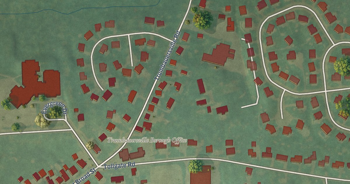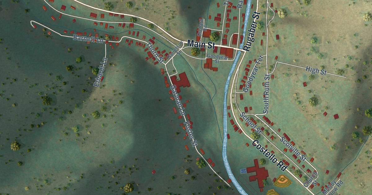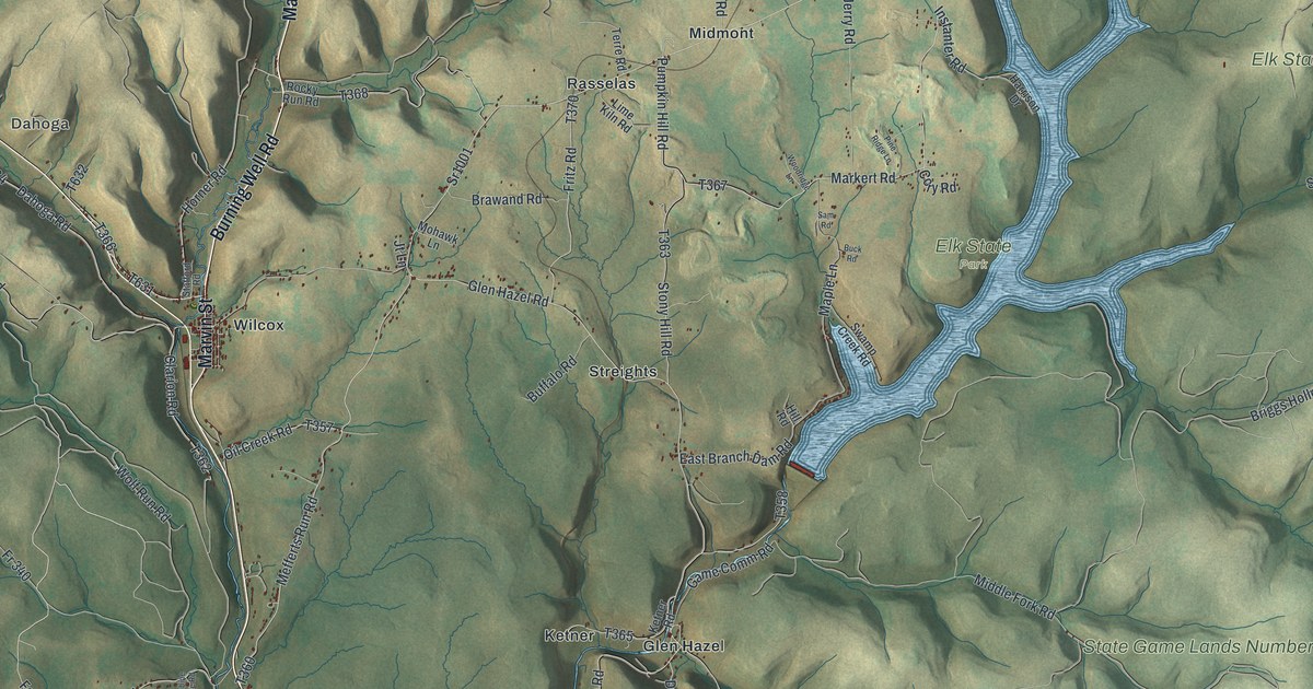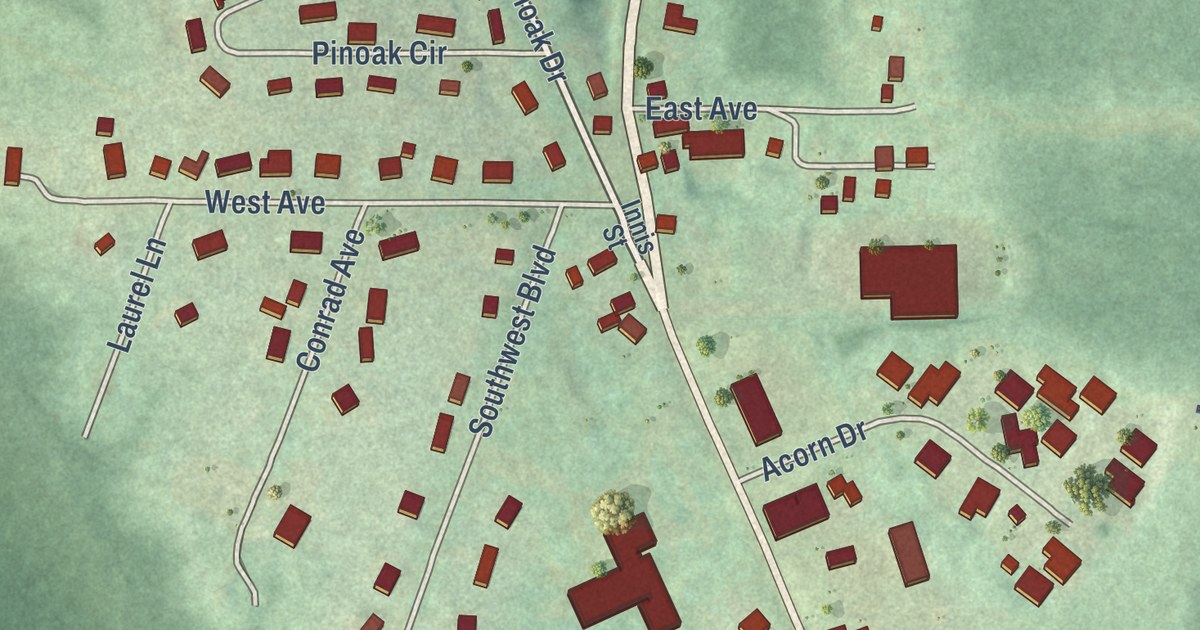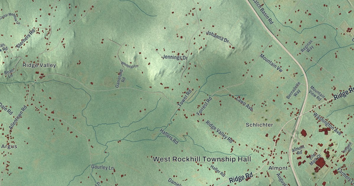
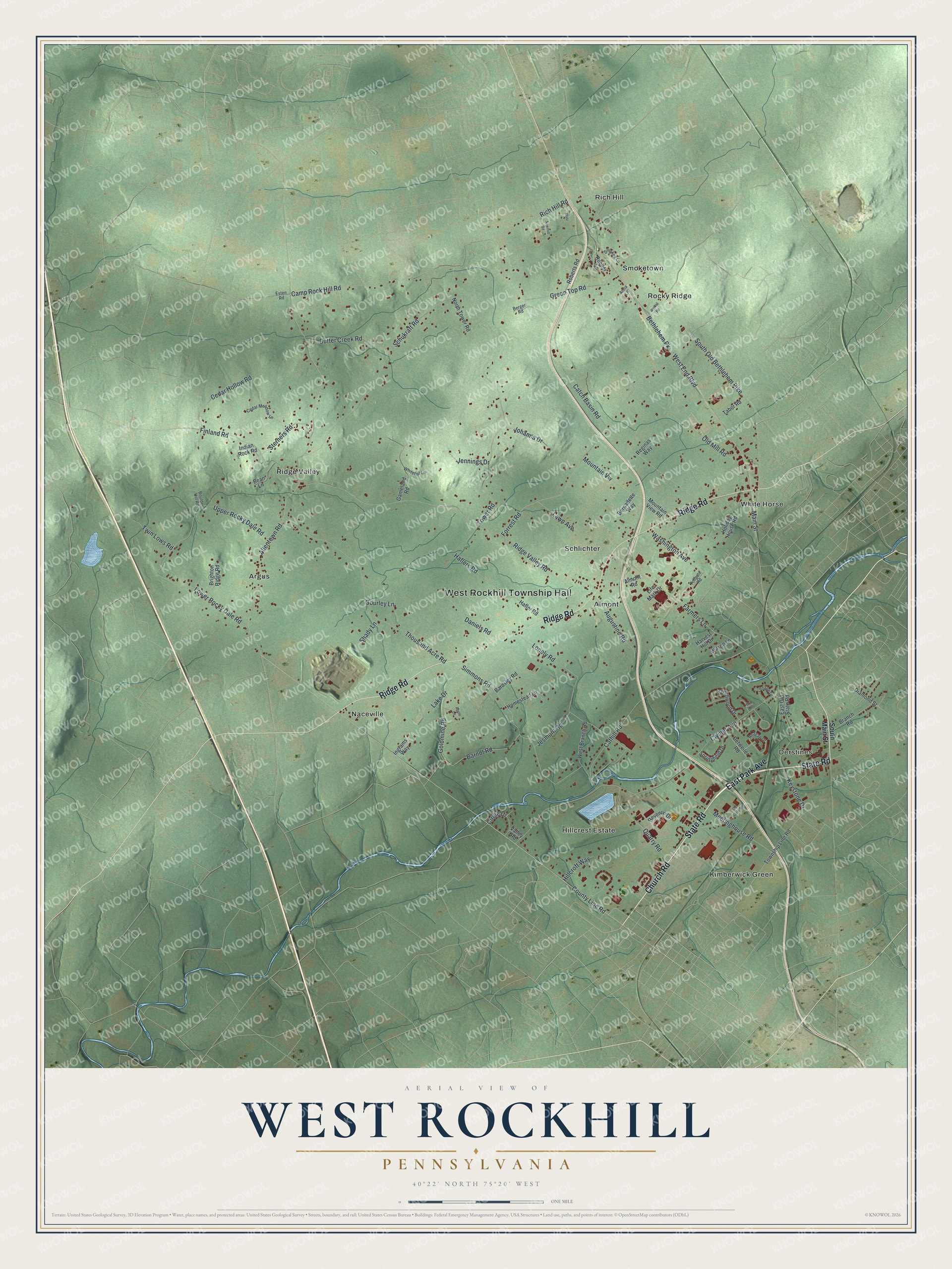
This beautifully detailed map of West Rockhill, Pennsylvania was created in 2026 using aerial imagery combined with modern topographical, census, street and landmark data. It’s a one-of-a-kind view of West Rockhill that combines accurate data with a vintage aesthetic. The map shows every building in its true location, many of the roads carry their names, and the shaded topographic relief shows the shape of the land.
Explore an aerial view of West Rockhill, Pennsylvania
On the map you’ll find West Rockhill Township Hall, Almont, Argus, Derstines, Hillcrest Estate, Kimberwick Green, Naceville, Rich Hill, Ridge Valley, Rocky Ridge, Schlichter, Smoketown, and more. If you look closely you can even find your house accurately drawn in its correct location. Zoom in on the preview to look for yours.
Did you know this piece of West Rockhill, Pennsylvania history?
From East Rockhill Township: "The separate East and West Townships, of equal area, were not formed until late 1889 after a 20-year contest in Bucks County courts. East Rockhill Township was first organized in 1889 as an independent township, which was recognized and affirmed by the courts in 1890 at which time West Rockhill Township was organized."
Take a closer look at the West Rockhill map
Street and place names on the West Rockhill, Pennsylvania map
These names are printed on the map of West Rockhill, Pennsylvania.
Places: West Rockhill Township Hall, Almont, Argus, Derstines, Hillcrest Estate, Kimberwick Green, Naceville, Rich Hill, Ridge Valley, Rocky Ridge, Schlichter, Smoketown and White Horse.
Streets and roads: State Road, Church Road, East Park Avenue, Ridge Road, Main Street, Allentown Road, County Line Road, South Old Bethlehem Pike, Catch Basin Road, Ridge Valley Road, Cathill Road, West End Boulevard.
More street names, A to Z
Almont Road, Anna Lane, Apple Lane, Augustine Road, Bardsley Road, Barndt Road, Bean Lane, Beechwood Drive, Berger Road, Bernadette Way, Bethlehem Pk, Boulder Hill Road, Branch Road, Brighton Ridge Road, Butter Creek Road, Camp Rock Hill Road, Cedar Hollow Road, Cedar Meadow Lane, Circle Drive, Clymer Avenue, Daniels Road, Detweiler Road, Diamond Street, East Old State Road, Erin Drive, Esten Road, Farmers Lane, Finland Road, Forrest Road, Gameland Road, Goldmine Road, Gourley Lane, Green Top Road, Hafler Road, Haflers Road, Harvest Hill Drive, Hillcroft Way, Holiday House Road, Homestead Lane, Indian Rock Road, Ingrams Way, Jennings Drive, Jesmont Road, Johanna Drive, Keystone Drive, Lake Drive, Lawn Avenue, Lenape Drive, Life Mark Drive, Lonely Road, Lower Rocky Dale Road, Masi, Meetinghouse Road, Mountain View Road, Mountain Vw, North Tower Road, Old Mill Road, Old State Road, Quarry Road, Reagan Drive, Reginas Way, Revenue Drive, Rich Hill Road, Roberts Road, Roeder Lane, Sawmill Road, Schukraft Road, Shady Lane, Simmons Road, Smokey Lane, South Main Street, Springfield Drive, Sterners Road, Tabor Road, Thousand Acre Road, Tollgate Road, Tower Road, Township Line Road, Twin Lows Road, Upper Rocky Dale Road, Valley Road, Washington Avenue, Weikel Road, West Branch Road, Whitetail Lane, Wilson Lane.
See the West Rockhill, Pennsylvania map on a wall
The West Rockhill map as an 18 x 24 inch print in a black frame.

This beautifully detailed map of West Rockhill makes an attractive addition to your office, library, or den, and it can even be used to teach children the geography and history of the area. It also makes a great gift for anyone with West Rockhill roots. When you’re done exploring, click here to get your copy of the West Rockhill map.