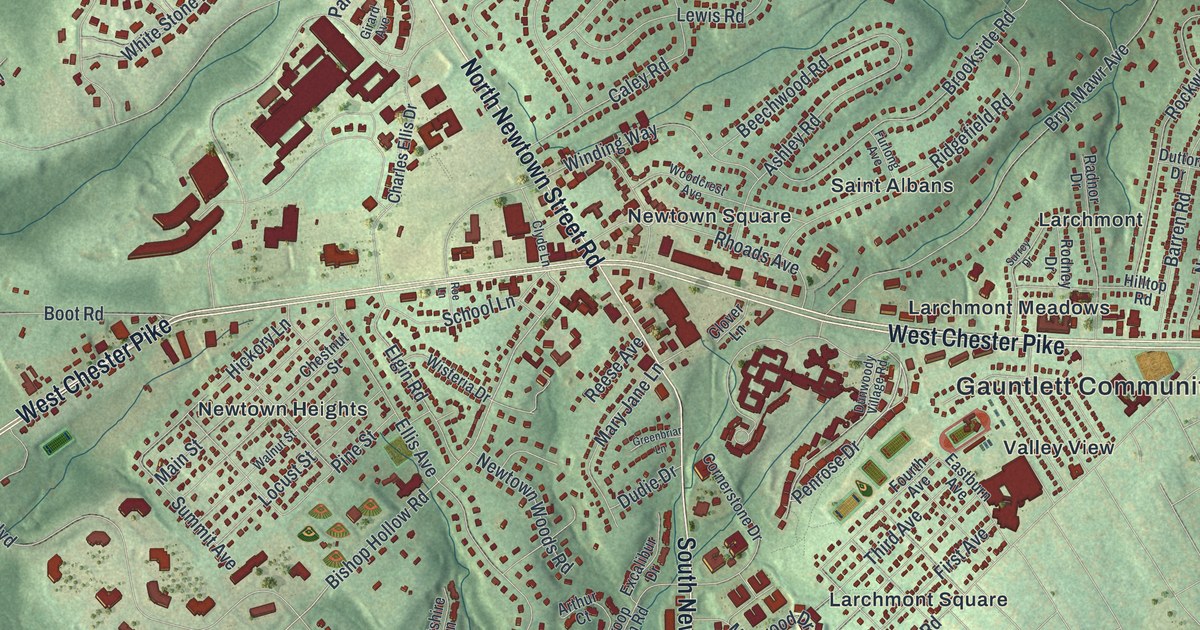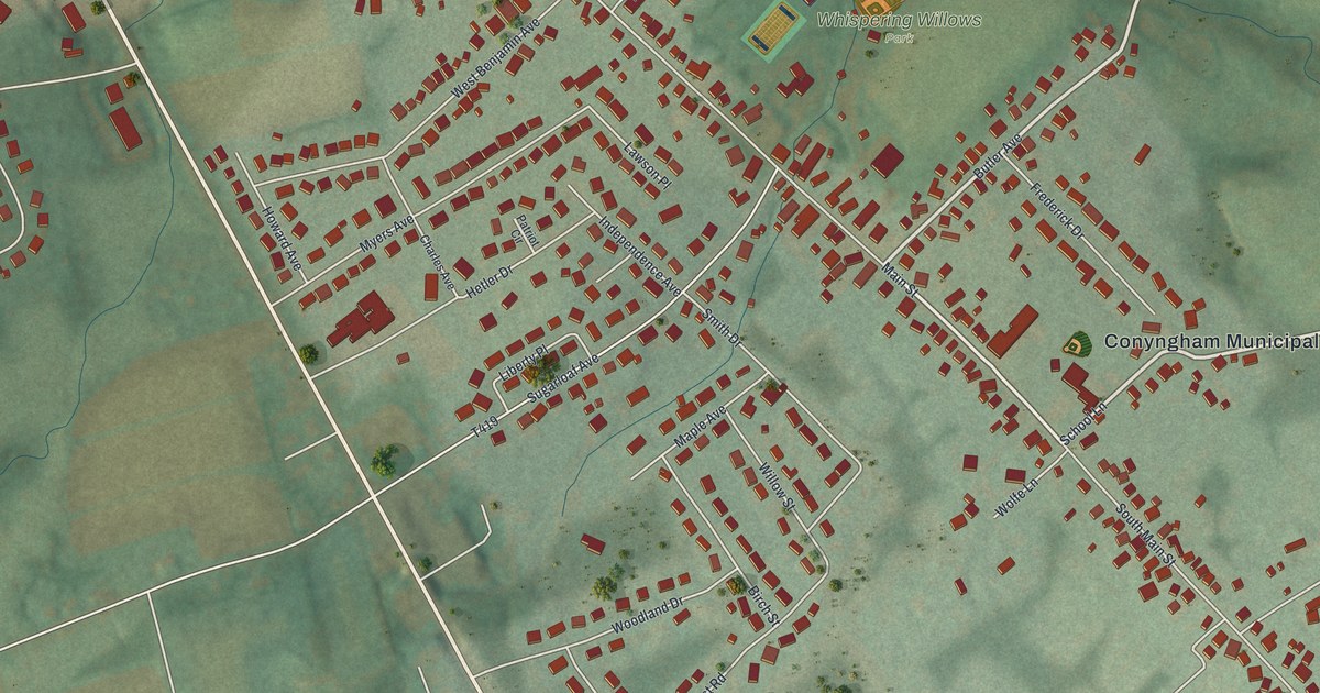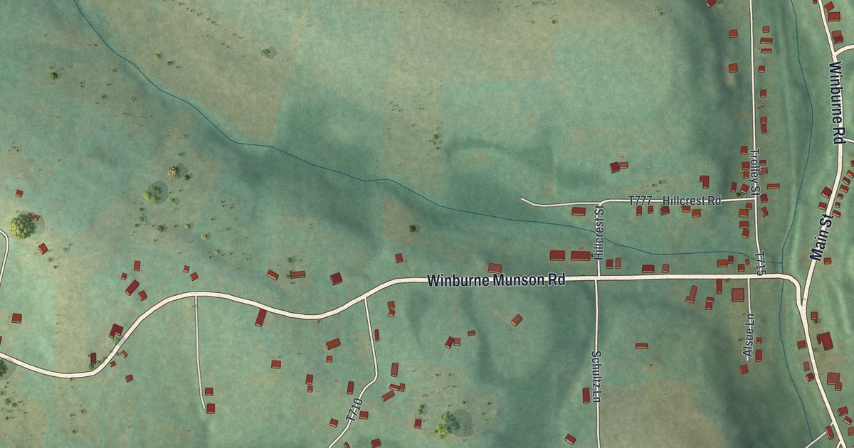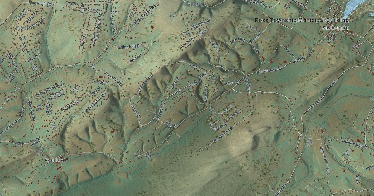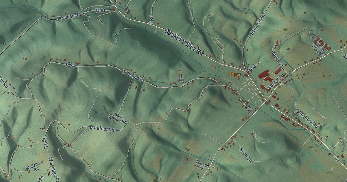
This beautifully detailed map of West St. Clair, Pennsylvania was created in 2026 using aerial imagery combined with modern topographical, census, street and landmark data. It’s a one-of-a-kind view of West St. Clair that combines accurate data with a vintage aesthetic. The map shows every building in its true location, many of the roads carry their names, and the shaded topographic relief shows the shape of the land.
Explore an aerial view of West St. Clair, Pennsylvania
On the map you’ll find Ryot, along with Quaker Valley Road, Cortland Road, King Saint Clair Road, Lovely Road, Dunnings Creek Road, Dunkard Hollow Road, Barefoot Road, Calvary Hollow Road, and more. If you look closely you can even find your house accurately drawn in its correct location. Zoom in on the preview to look for yours.
Did you know this piece of West St. Clair, Pennsylvania history?
From the 1884 History of Bedford, Somerset, and Fulton Counties, Pennsylvania: "When the free-school system in Pennsylvania went into operation under the law of 1834, he was appointed a member of the first board of school directors and assisted in dividing the township into school districts and building schoolhouses."
Take a closer look at the West St. Clair map
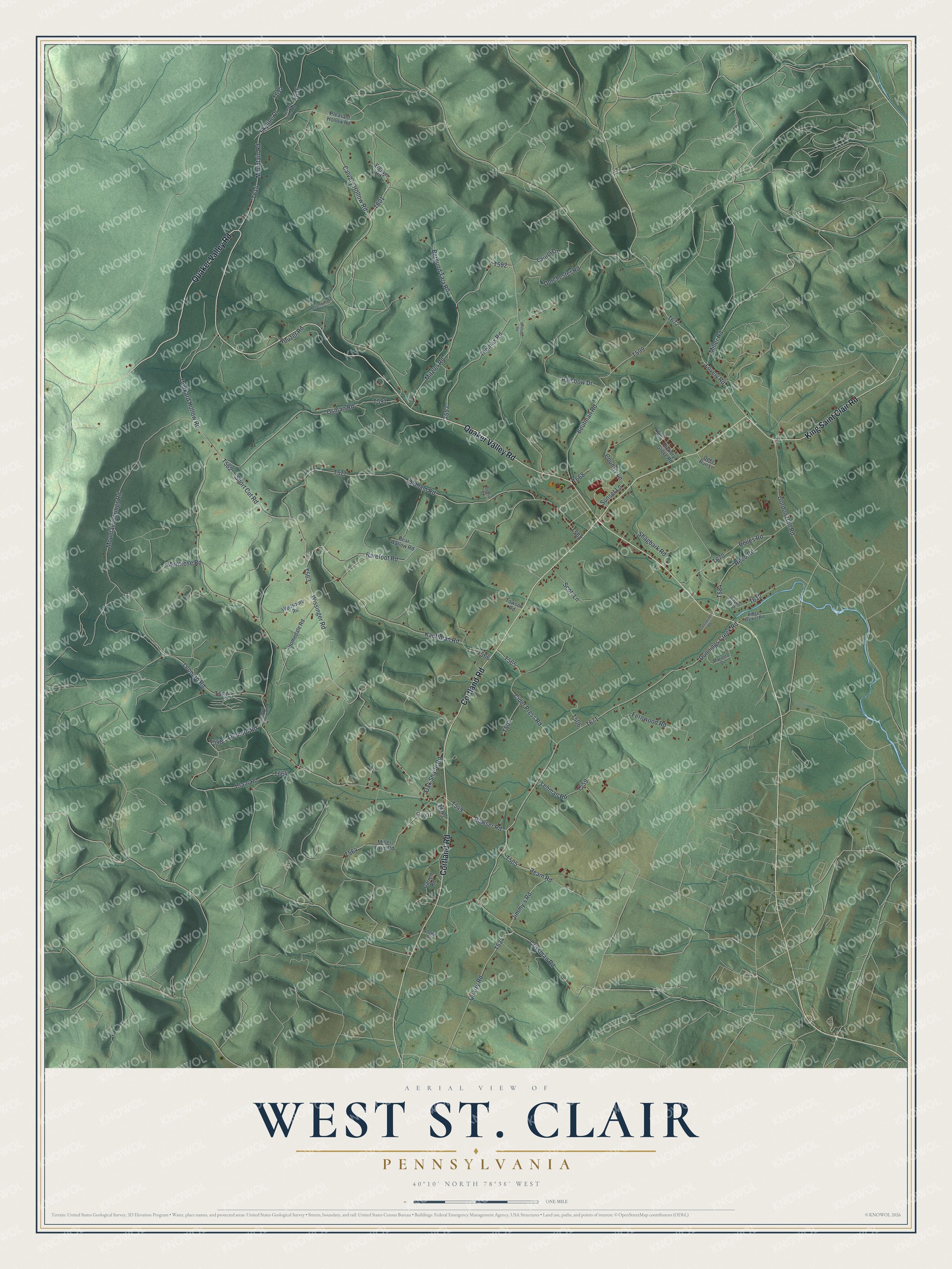
Street and place names on the West St. Clair, Pennsylvania map
These names are printed on the map of West St. Clair, Pennsylvania.
Places: Ryot.
Streets and roads: Quaker Valley Road, Cortland Road, King Saint Clair Road, Lovely Road, Dunnings Creek Road, Dunkard Hollow Road, Barefoot Road, Calvary Hollow Road, Wissinger Road, Oldham Road, Mountain Springs Road, Kauffman Road.
More street names, A to Z
Bear Wallow Road, Belles Road, Bergund Tala Road, Beutman Road, Bowser Road, Cashew Road, Cider Press Road, Claar Road, Country Lane, Crissman Road, Crosswinds Road, Deer Run Lane, Dorchester Road, Dunkhard Hollow Road, Fernwood Road, Garrett Road, George Creek Road, Gordon Hall Road, Hickory Grove Road, Homedale Road, Jimmy's Road, Laurel Lane, Lehman Road, Leonard Road, Marietta Drive, Miller Farm Road, Miller Road, Millford Road, Mitzler Road, Montrose Road, Mountain Road, Mountainside Drive, Oak Shade Road, Orchard Road, Osman Road, Pleasant Hollow Road, Quarry Road, Rainbow Drive, Ream Road, Reed Road, Ridge Market Road, Rockie Drive, Rouzer Road, Scott Lane, Shagbark Road, Short Cut Road, Skyline Drive, Sunhill Road, Sunset Lane, Thomas Road, Towson Road, Wayne Boulevard, Weaver Road, Wellsboro Road.
See the West St. Clair, Pennsylvania map on a wall
The West St. Clair map as an 18 x 24 inch print in a black frame.

This beautifully detailed map of West St. Clair makes an attractive addition to your office, library, or den, and it can even be used to teach children the geography and history of the area. It also makes a great gift for anyone who grew up in West St. Clair or moved away. When you’re done exploring, click here to get your copy of the West St. Clair map.