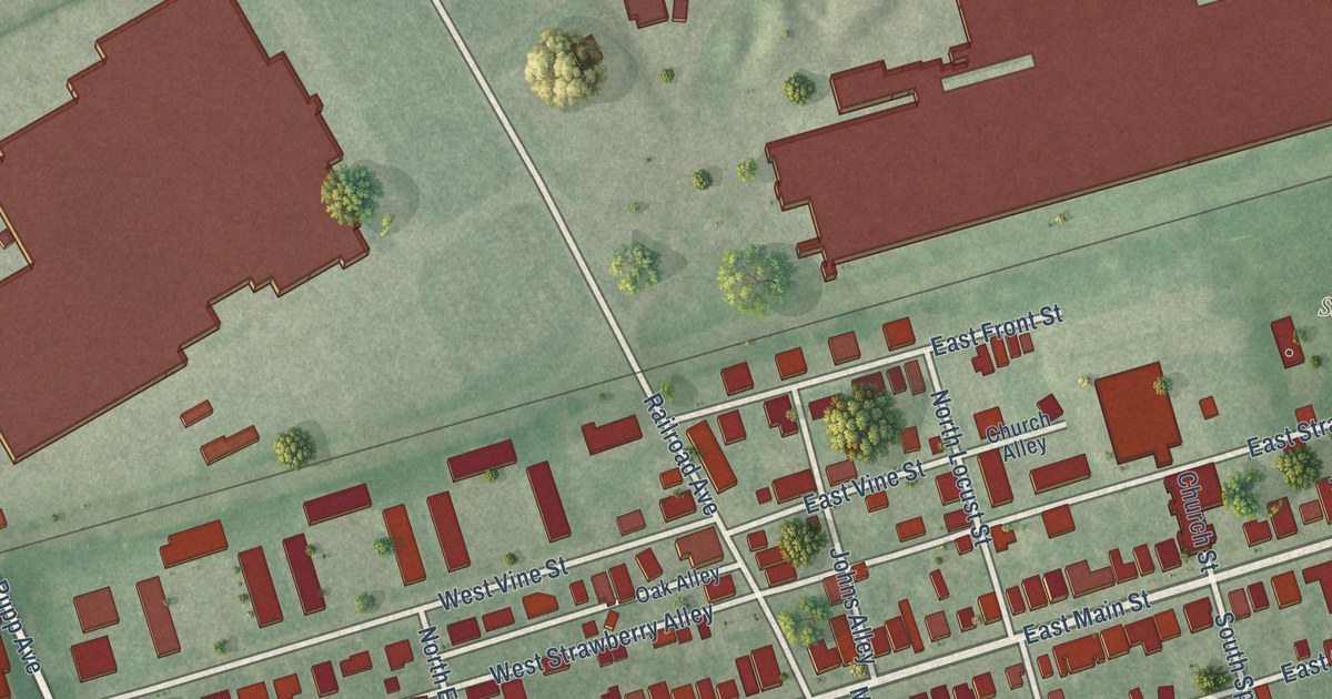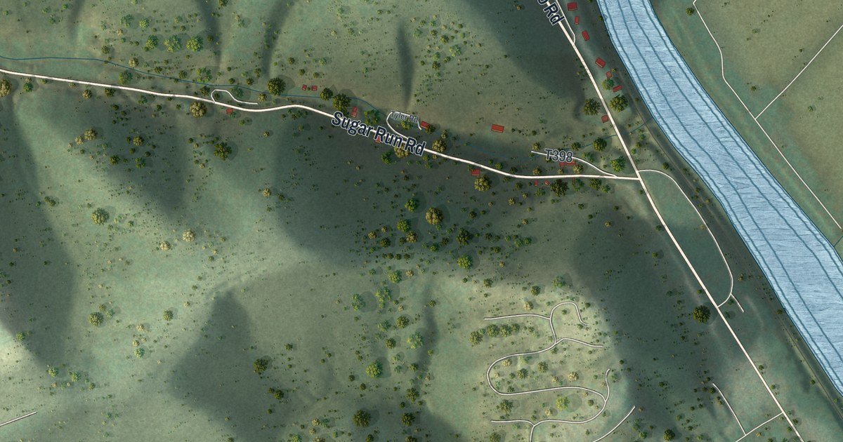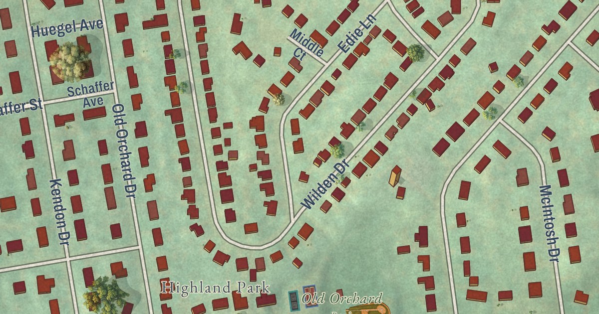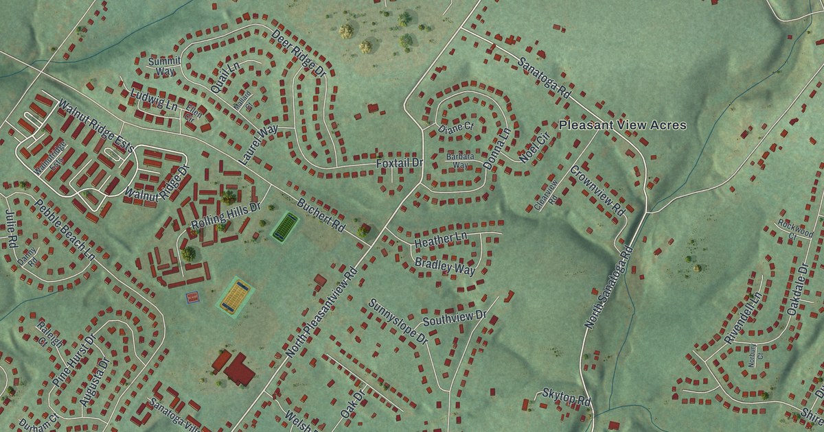
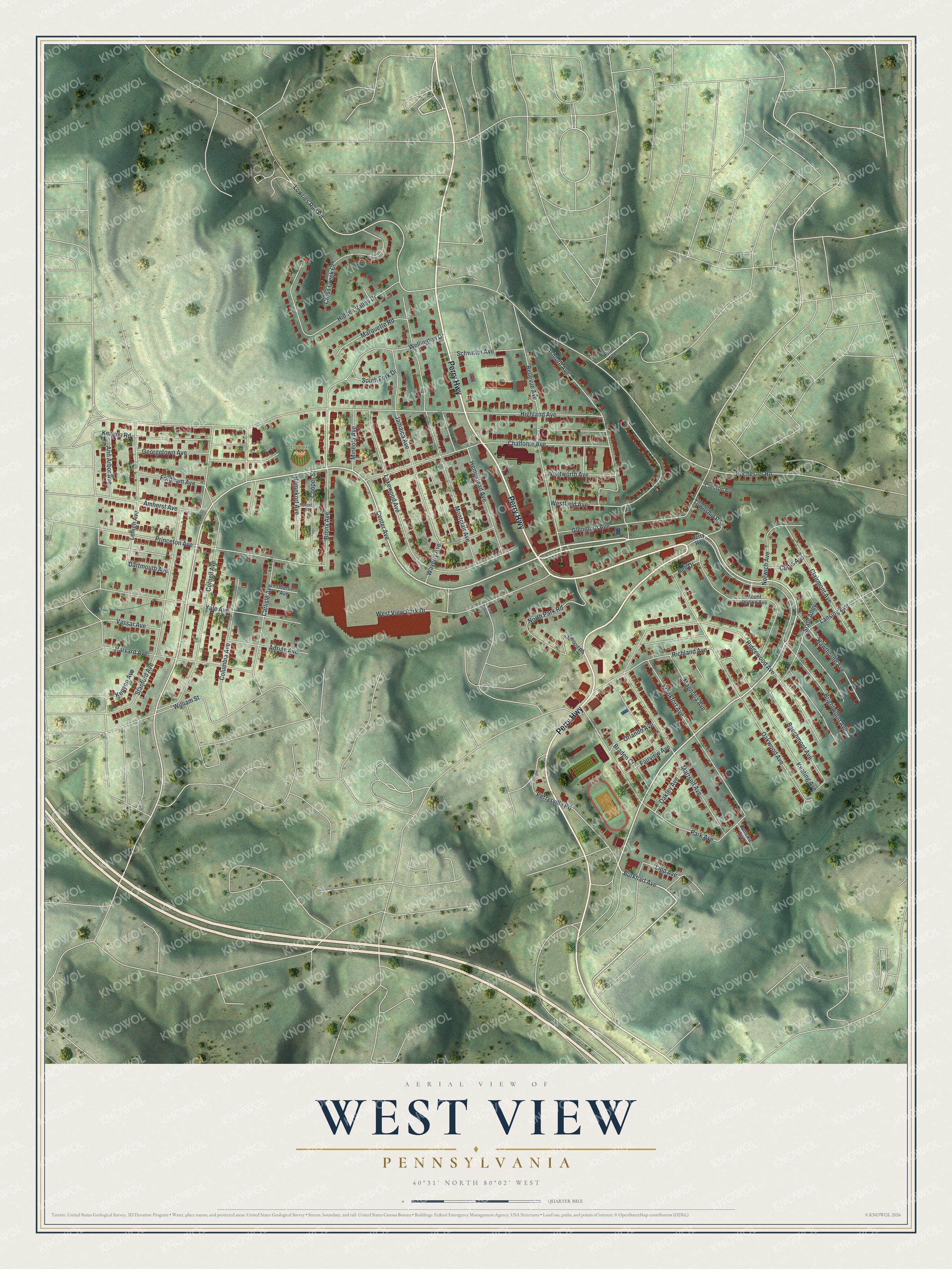
This beautifully detailed map of West View, Pennsylvania was created in 2026 using aerial imagery combined with modern topographical, census, street and landmark data. It’s a one-of-a-kind view of West View that combines accurate data with a vintage aesthetic. The map shows every building in its true location, many of the roads carry their names, and the shaded topographic relief shows the shape of the land.
Explore an aerial view of West View, Pennsylvania
On the map you’ll find Bronx Field, along with Perry Highway, Center Avenue, Burkhart Avenue, Dartmouth Avenue, Lowries Run Road, Bronx Avenue, Highland Avenue, Ridgewood Avenue, Cornell Avenue, Montclair Avenue, Oakwood Avenue, and more. If you look closely you can even find your house accurately drawn in its correct location. Zoom in on the preview to look for yours.
Did you know this piece of West View, Pennsylvania history?
The first European to settle the West View area was Casper Reel. Born in Frankfurt, Germany, in 1742, he fought in the Continental Army and was given 727 acres in what was then Pine Township. Attacks drove him away soon after he built a cabin in 1792. He returned in 1795 and built a second cabin, which still stands in the borough.
Take a closer look at the West View map
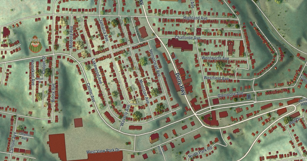
Street and place names on the West View, Pennsylvania map
These names are printed on the map of West View, Pennsylvania.
Places: Bronx Field.
Streets and roads: Perry Highway, Center Avenue, Burkhart Avenue, Dartmouth Avenue, Lowries Run Road, Bronx Avenue, Highland Avenue, Ridgewood Avenue, Cornell Avenue, Montclair Avenue, Oakwood Avenue, Lakewood Avenue.
More street names, A to Z
Adrian Avenue, Amherst Avenue, Ann Arbor Avenue, Ashford Avenue, Beechmont Avenue, Bell Drive, Bellevue Avenue, Braden Court, Brightwood Avenue, Carlisle Avenue, Chalfonte Avenue, Clairmont Avenue, Columbia Avenue, Cooper Street, Cresson Avenue, Cross Creek Court, Curtis Avenue, Fairview Avenue, Fifth Avenue, Fordham Avenue, Frankfort Avenue, Georgetown Avenue, Glenmore Avenue, Harvard Avenue, Hawthorne Avenue, Hempstead Avenue, Hidden Valley Drive, Homekort Avenue, Jamaica Avenue, Keating Avenue, Kenyon Avenue, Kenyon Road, Lansing Avenue, Lehigh Avenue, Linwood Road, Lipp Avenue, Magnolia Avenue, Marquette Road, Martsolf Avenue, Mineola Avenue, Mount Vernon Avenue, North Park Road, Norwich Avenue, Oakley Avenue, Oberlin Avenue, Orlando Avenue, Park Avenue, Park Plaza Drive, Perrysville Road, Princeton Avenue, Richland Avenue, Rochester Road, Schwitter Avenue, Short Street, South Fork Drive, Stanford Avenue, State Alley, Tomoka Avenue, Township Road, Vassar Avenue, Waverly Avenue, Wellington Drive, Wentworth Avenue, Westfield Avenue, West View Park Drive, William Street, Yale Avenue.
See the West View, Pennsylvania map on a wall
The West View map as an 18 x 24 inch print in a black frame.

This beautifully detailed map of West View makes an attractive addition to your office, library, or den, and it can even be used to teach children the geography and history of the area. It also makes a great gift for anyone with West View roots. When you’re done exploring, click here to get your copy of the West View map.