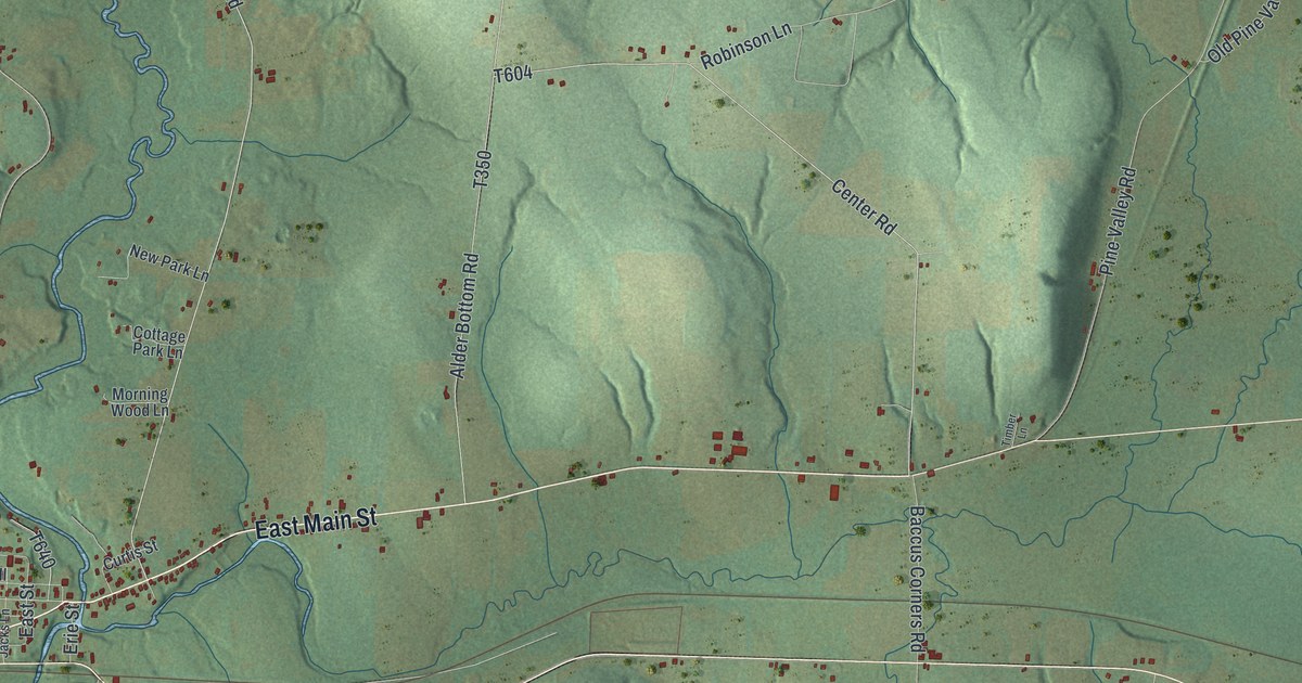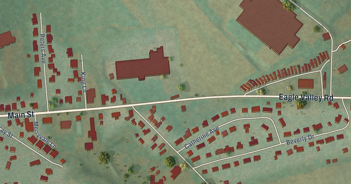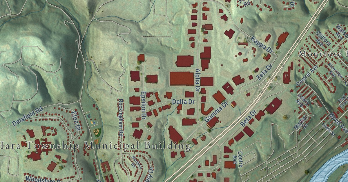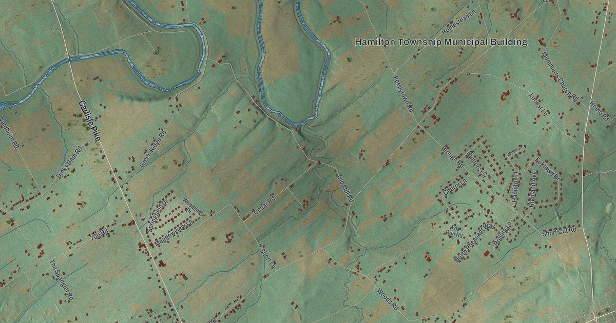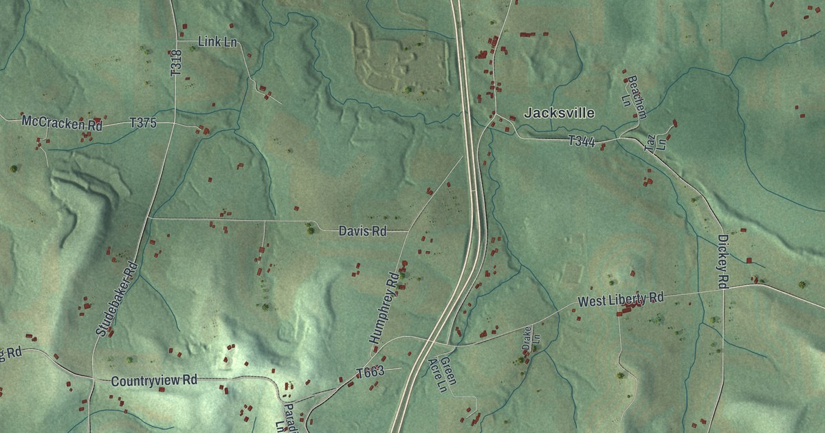
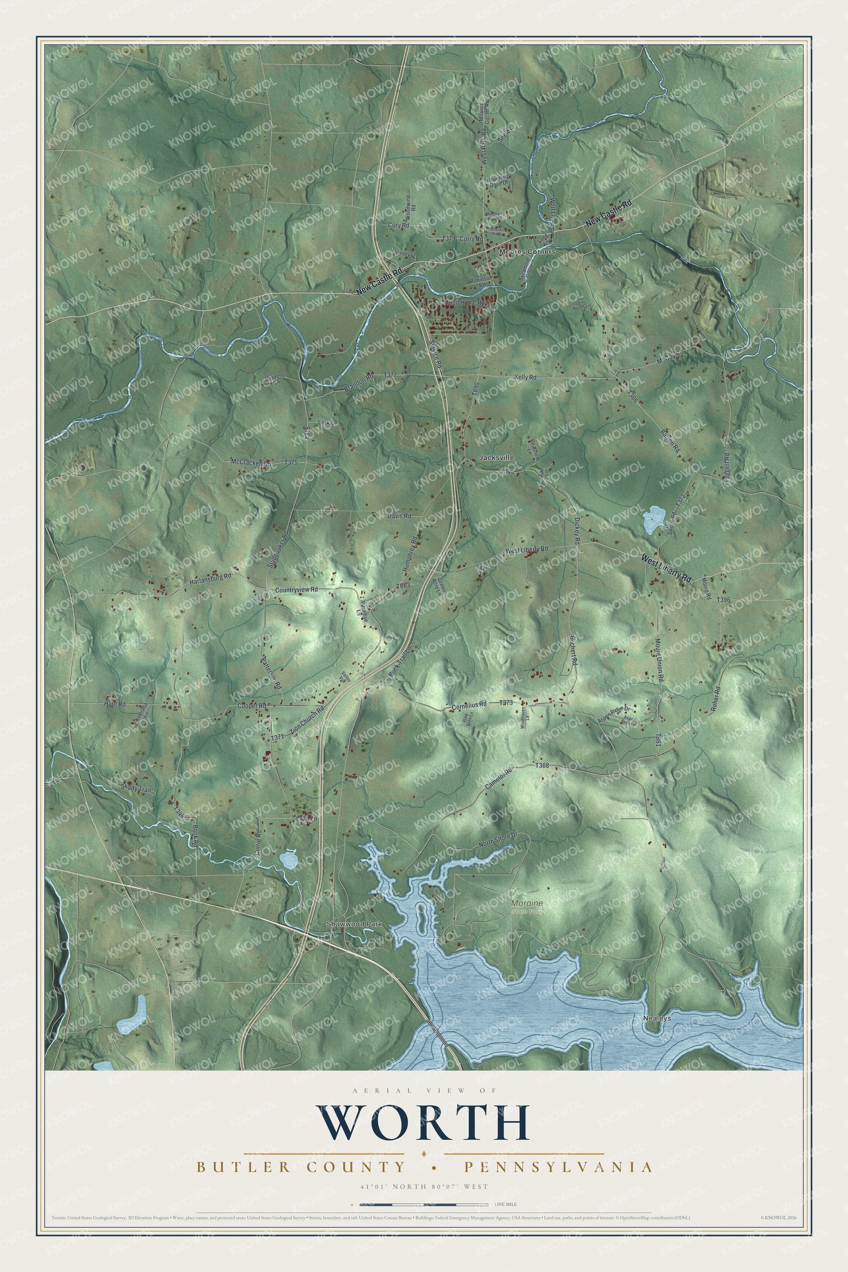
This beautifully detailed map of Worth, Butler County, Pennsylvania was created in 2026 using aerial imagery combined with modern topographical, census, street and landmark data. It’s a one-of-a-kind view of Worth that combines accurate data with a vintage aesthetic. The map shows every building in its true location, many of the roads carry their names, and the shaded topographic relief shows the shape of the land.
Explore an aerial view of Worth, Butler County, Pennsylvania
On the map you’ll find Nealeys, Shawwood Park, Moraine State Park, Jacksville, and Moores Corners, along with New Castle Road, West Liberty Road, North Shore Drive, Mobil Home Road, Taggert Road, Cooper Road, Book Road, and more. If you look closely you can even find your house accurately drawn in its correct location. Zoom in on the preview to look for yours.
Did you know this piece of Worth, Butler County, Pennsylvania history?
Worth Township was organized in 1854 and named for General Worth, a hero of the Mexican War. Its first settlers, David Studebaker and Abraham Snyder, came from Westmoreland County in the fall of 1790. They built a cabin near the Indian village on Slippery Rock Creek. Three years later Studebaker returned with his sister and stayed for good. That’s from the 1895 History of Butler County, Pennsylvania.
Take a closer look at the Worth, Butler County map
Street and place names on the Worth, Butler County, Pennsylvania map
These names are printed on the map of Worth, Butler County, Pennsylvania.
Places: Nealeys, Shawwood Park, Moraine State Park, Jacksville and Moores Corners.
Streets and roads: New Castle Road, West Liberty Road, North Shore Drive, Mobil Home Road, Taggert Road, Cooper Road, Book Road, Zion Church Road, Barron Road, Reichert Road, Harlansburg Road, Cory Road.
More street names, A to Z
Ashley Lane, Aspen Ridge Drive, Aspen Tree Lane, Beachem Lane, Brandon Road, Buck Trail Lane, Camelot Road, Cornelius Road, Corry Road, Countryview Road, Currie Road, Davis Road, Dickey Road, Drake Lane, Elliott Lane, Gardener Lane, Green Acre Lane, Humphrey Road, Hunt Road, Kelly Road, Kottraba Lane, Lake Lane, Lang Lane, Link Lane, McCoy Road, McCracken Road, Moore Road, Moores Corner Road, Mount Union Road, Mourning Dove Drive, Paradise Lane, Patterson Road, Pheasant Run Drive, Pine Glen Lane, Ringneck Meadow Drive, Robinson Road, Roher Road, Seeley, Service Road, Shady Trail, Six Points Lane, Studebaker Road, Swope Road, Sycamore Grove, Taz Lane, Valley Vue, West Park Road, Windhaven Lane, Wolf Lane, Woodwind Road.
See the Worth, Butler County, Pennsylvania map on a wall
The Worth, Butler County map as an 18 x 24 inch print in a black frame.

This beautifully detailed map of Worth, Butler County makes an attractive addition to your office, library, or den, and it can even be used to teach children the geography and history of the area. It also makes a great gift for someone who left Worth and still calls it home. When you’re done exploring, click here to get your copy of the Worth, Butler County map.