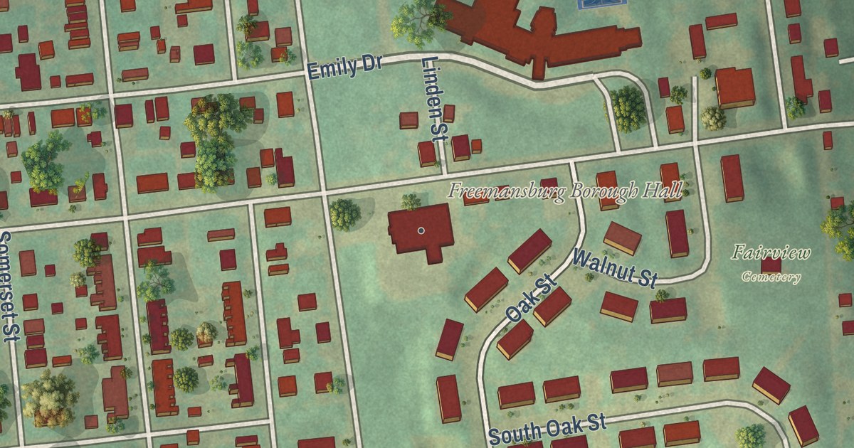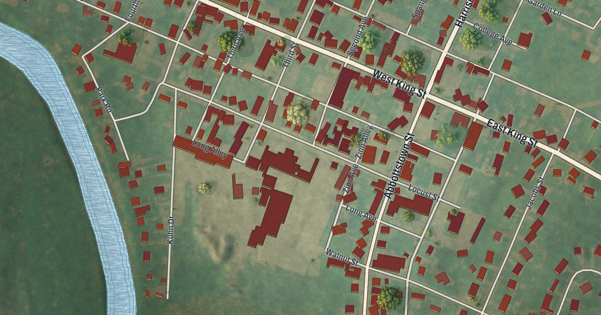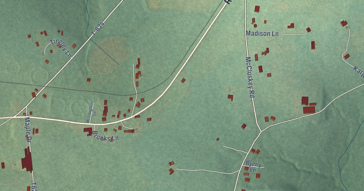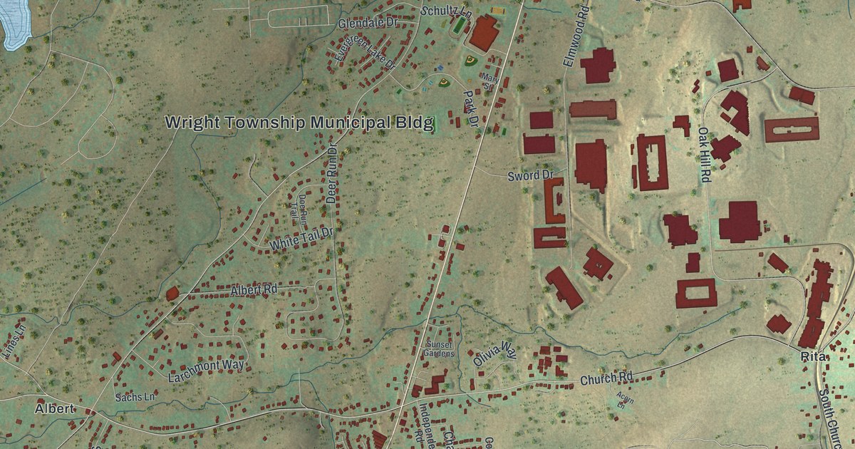
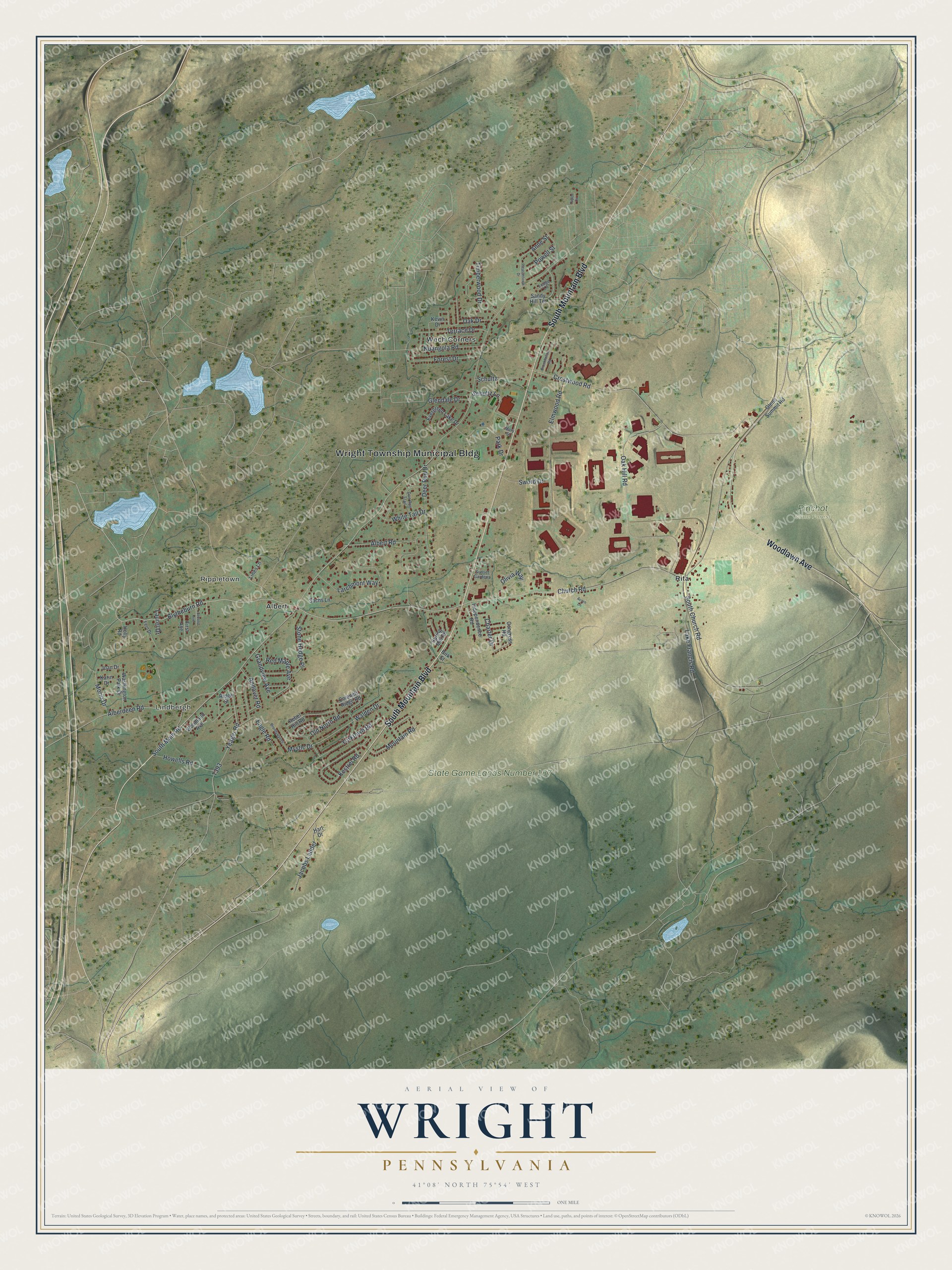
This beautifully detailed map of Wright, Pennsylvania was created in 2026 using aerial imagery combined with modern topographical, census, street and landmark data. It’s a one-of-a-kind view of Wright that combines accurate data with a vintage aesthetic. The map shows every building in its true location, many of the roads carry their names, and the shaded topographic relief shows the shape of the land.
Explore an aerial view of Wright, Pennsylvania
On the map you’ll find Wright Township Municipal Bldg, Lindbergh, Rippletown, Pinchot State Forest, State Game Lands Number 187, Albert, Rita, and Wech Corners, along with South Mountain Boulevard, Woodlawn Avenue, Red Maple Avenue, South Church Road, and more. If you look closely you can even find your house accurately drawn in its correct location. Zoom in on the preview to look for yours.
Did you know this piece of Wright, Pennsylvania history?
From the 1893 History of Luzerne County, Pennsylvania: "In what is now Wright proper the first settler was probably Cornelius Garrison, in 1833 or 1834."
Take a closer look at the Wright map
Street and place names on the Wright, Pennsylvania map
These names are printed on the map of Wright, Pennsylvania.
Places: Wright Township Municipal Bldg, Lindbergh, Rippletown, Pinchot State Forest, State Game Lands Number 187, Albert, Rita and Wech Corners.
Streets and roads: South Mountain Boulevard, Woodlawn Avenue, Red Maple Avenue, South Church Road, Blytheburn Road, Lake Francis Road, Mountain Road, Mystic Drive, South Main Road, Church Road, Crestwood Road, Oak Hill Road.
More street names, A to Z
Acorn Lane, Alberdeen Road, Albert Road, Andover Road, Anne Street, Birk Street, Brandywyn Drive, Brookhollow Road, Charter Drive, Colonels Ridge Road, Congress Road, Deer Run Drive, Doe Run Trail, Eagle Road, Elmwood Road, Evergreen Lake Drive, Fern Drive, First Avenue, Forest Drive, Glendale Drive, Glenn Summit Road, Grandview Avenue, Hart Drive, Holly Road, Howells Road, Independence Road, Jacobs Ladder, Joan Drive, Karin Drive, Kestrel Road, Kevin Drive, Larchmont Way, Laurel Drive, Ledge Lane, Lines Lane, Mary Street, Morio Drive, Nuangola Road, Oak Drive, Old North Road, Olivia Way, Park Drive, Pleasantview Drive, Powell Street, Rebel Hill Road, Ridge Street, Sachs Lane, Sandy Hill Terrace, Schultz, Schultz Lane, Second Avenue, Spring Mill Road, Stone Hedge Place, Sunset Gardens, Sword Drive, Taylor Circle, Terrace Drive, Timberwood Drive, Walden Drive, Washington Park Drive, White Tail Drive, Woodland Avenue, Yeager Road, Yorktown Road.
See the Wright, Pennsylvania map on a wall
The Wright map as an 18 x 24 inch print in a black frame.

This beautifully detailed map of Wright makes an attractive addition to your office, library, or den, and it can even be used to teach children the geography and history of the area. It also makes a great gift for anyone who grew up in Wright or moved away. When you’re done exploring, click here to get your copy of the Wright map.