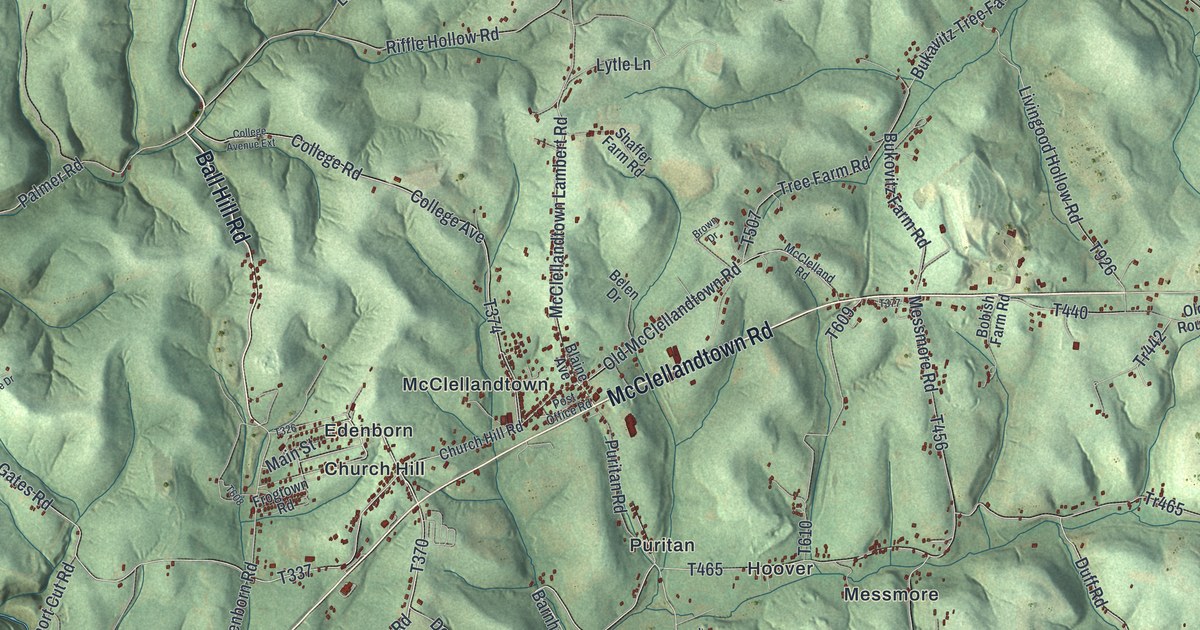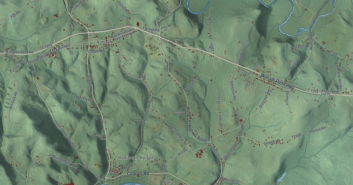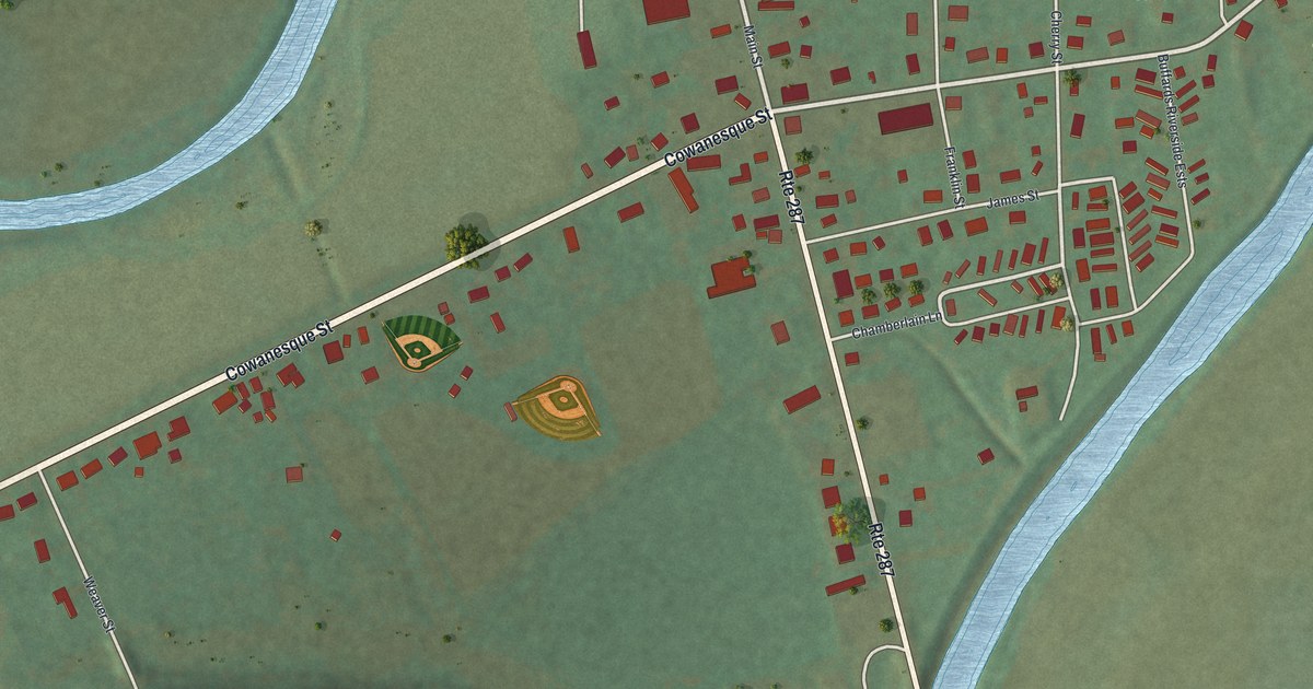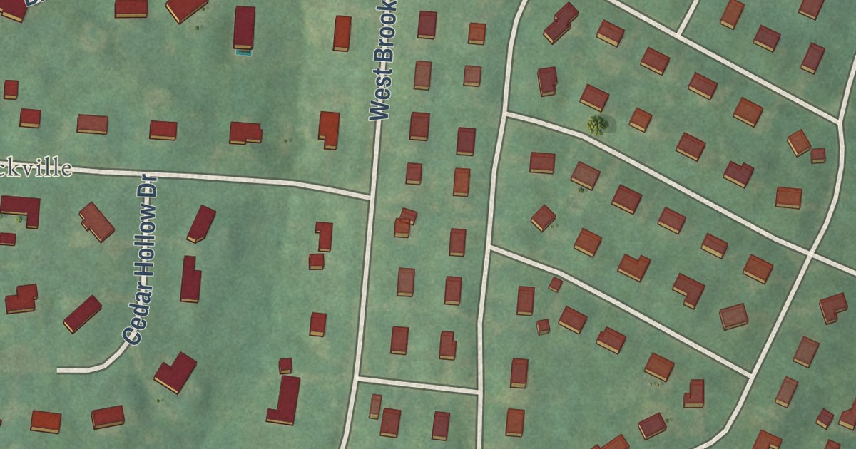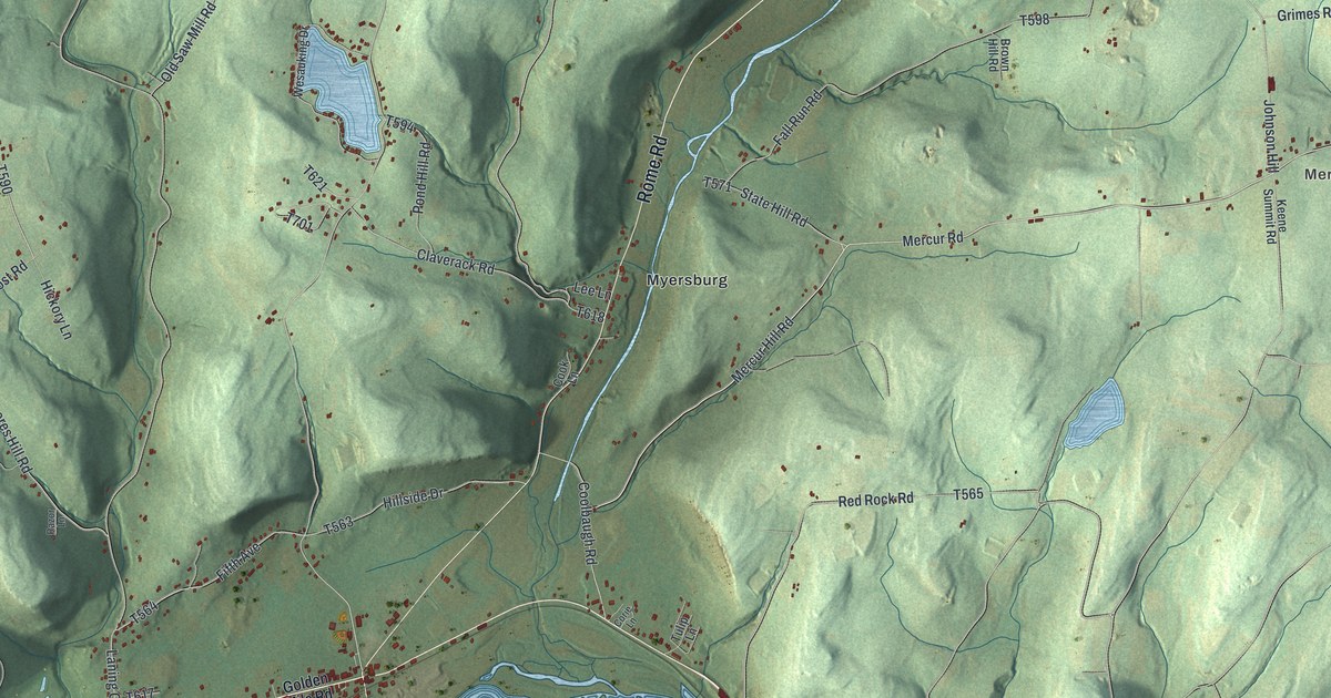
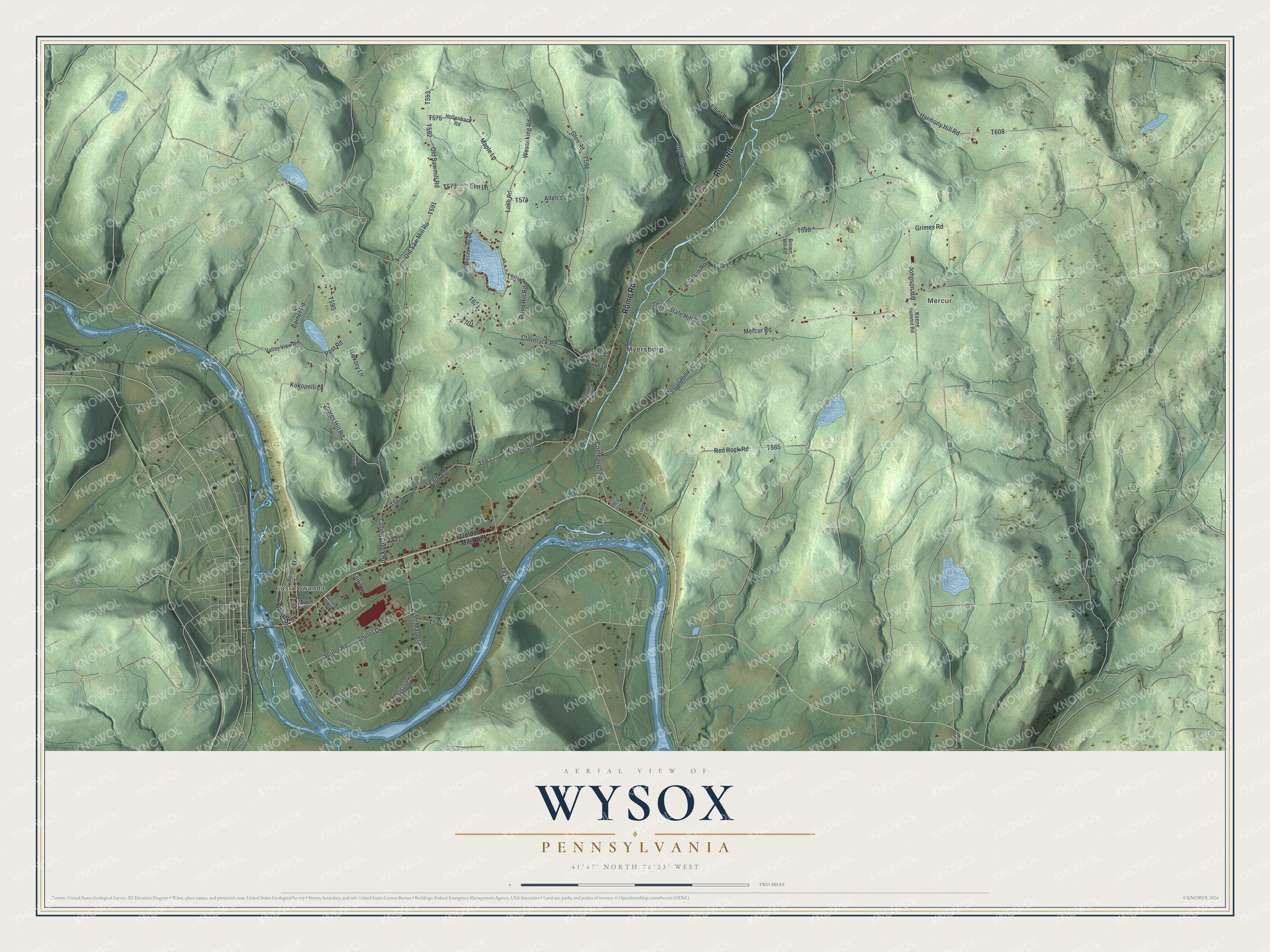
This beautifully detailed map of Wysox, Pennsylvania was created in 2026 using aerial imagery combined with modern topographical, census, street and landmark data. It’s a one-of-a-kind view of Wysox that combines accurate data with a vintage aesthetic. The map shows every building in its true location, many of the roads carry their names, and the shaded topographic relief shows the shape of the land.
Explore an aerial view of Wysox, Pennsylvania
On the map you’ll find Mercur, East Towanda, and Myersburg, along with Rome Road, Mercur Road, Mercur Hill Road, State Hill Road, Leisure Drive, Harmony Hill Road, and more. If you look closely you can even find your house accurately drawn in its correct location. Zoom in on the preview to look for yours.
Did you know this piece of Wysox, Pennsylvania history?
Wysox Township was cut off from Tioga in 1795. At first it was eighty miles long, east to west, and about six wide. Other townships were later carved out, leaving about fifteen square miles. The view from its Red Rocks was called one of the finest in Bradford County. That’s from the 1878 History of Bradford County, Pennsylvania.
Take a closer look at the Wysox map
Street and place names on the Wysox, Pennsylvania map
These names are printed on the map of Wysox, Pennsylvania.
Places: Mercur, East Towanda and Myersburg.
Streets and roads: Rome Road, Mercur Road, Mercur Hill Road, State Hill Road, Leisure Drive, Harmony Hill Road, Maple Lane, Old Sawmill Road, Post Road, Elm Lane, Shores Hill Road, Shiner Road.
More street names, A to Z
Allen's Lane, Barner Road, Brown Hill Road, Burgess Drive, Canal Street, Claverack Road, Cobbler Lane, Cohen Lane, Cook Lane, Coolbaugh Road, Corie Lane, Craft Master Road, Dry Run Road, Elliot Road, Ennis Lane, Fall Run Road, Fifth Avenue, Glen Road, Golden Mile Road, Grimes Road, Hickory Lane, Hillside Drive, Hollenback Road, James Street, Johnson Hill, Keene Summit Road, Kokopelli Lane, Lake Road, Laning Creek Road, Lee Lane, Maple Street, Old Saw Mill Road, Pond Hill Road, Razor Lane, Red Rock Road, Shiner Drive, Sullivan Street, Tulip Lane, Valley View Road, Wesauking Drive, Wesauking Road.
See the Wysox, Pennsylvania map on a wall
The Wysox map as an 18 x 24 inch print in a black frame.

This beautifully detailed map of Wysox makes an attractive addition to your office, library, or den, and it can even be used to teach children the geography and history of the area. It also makes a great gift for anyone who grew up in Wysox or moved away. When you’re done exploring, click here to get your copy of the Wysox map.