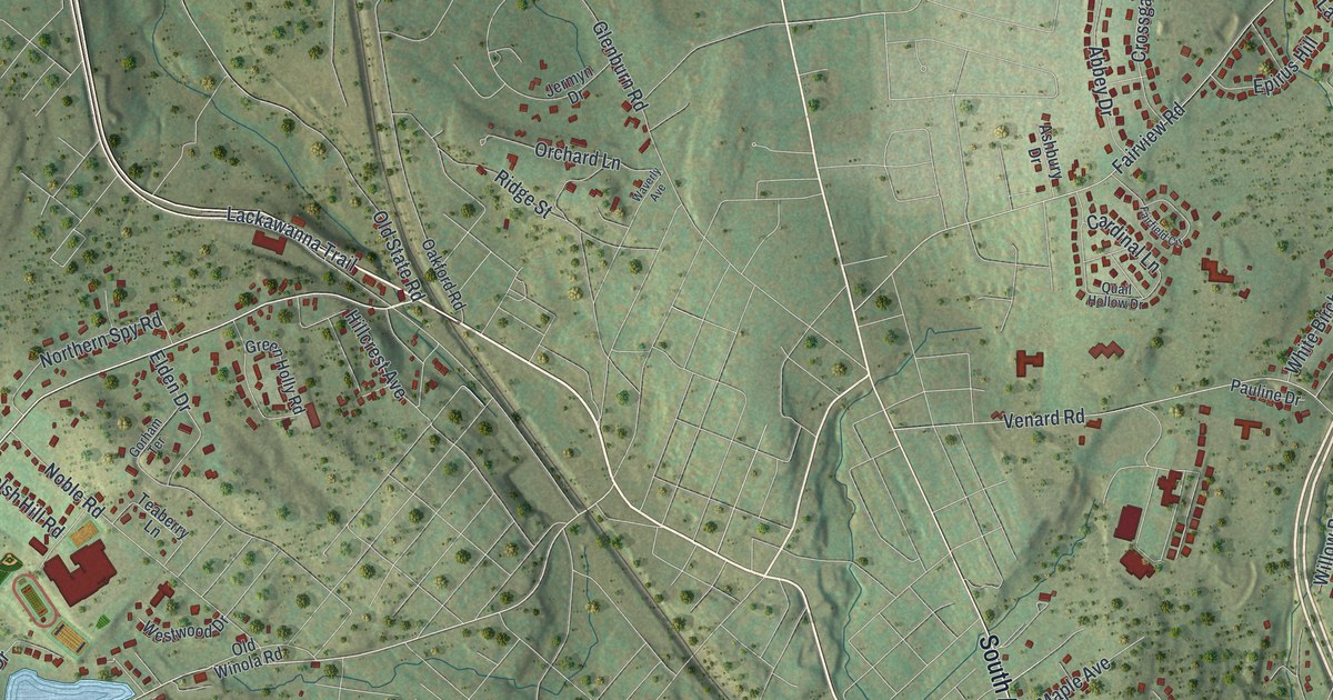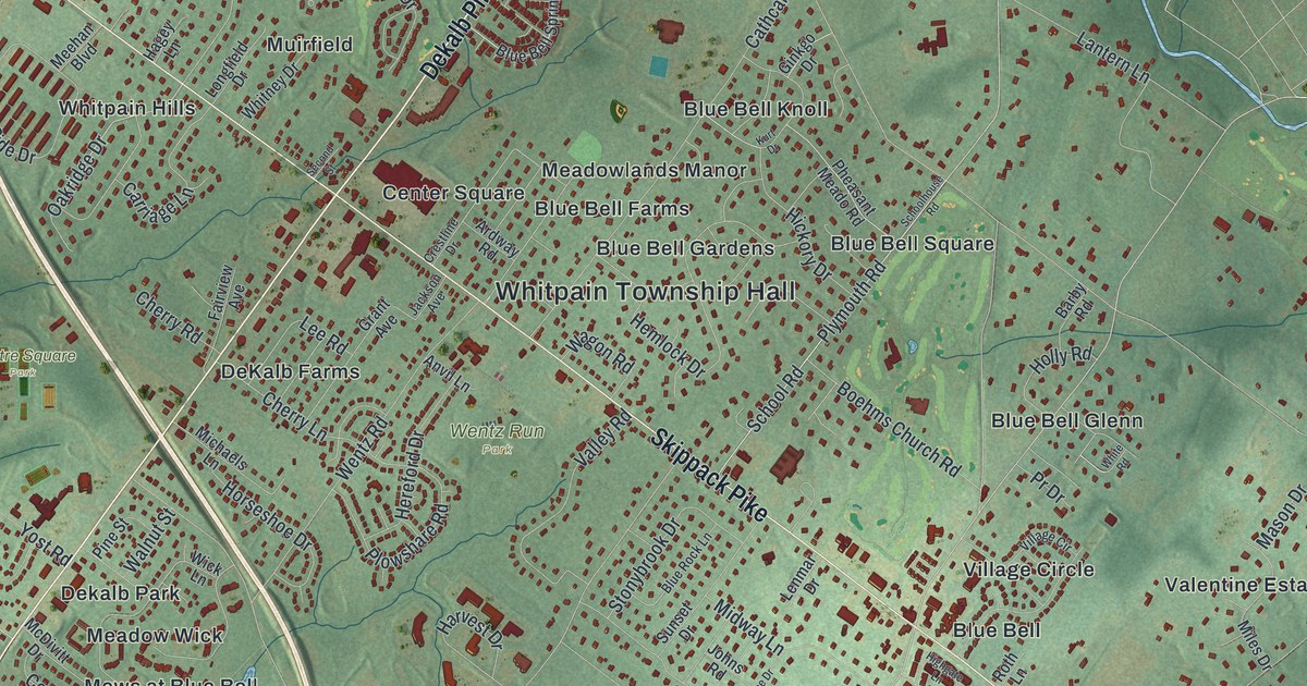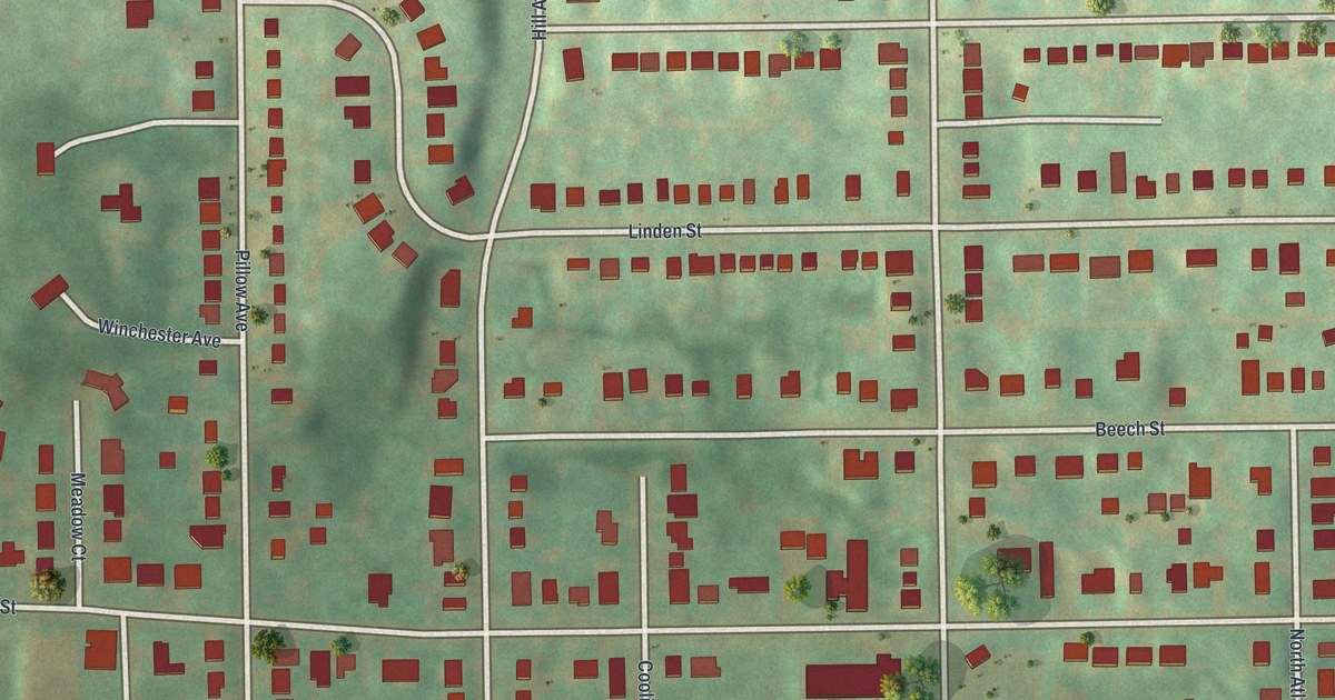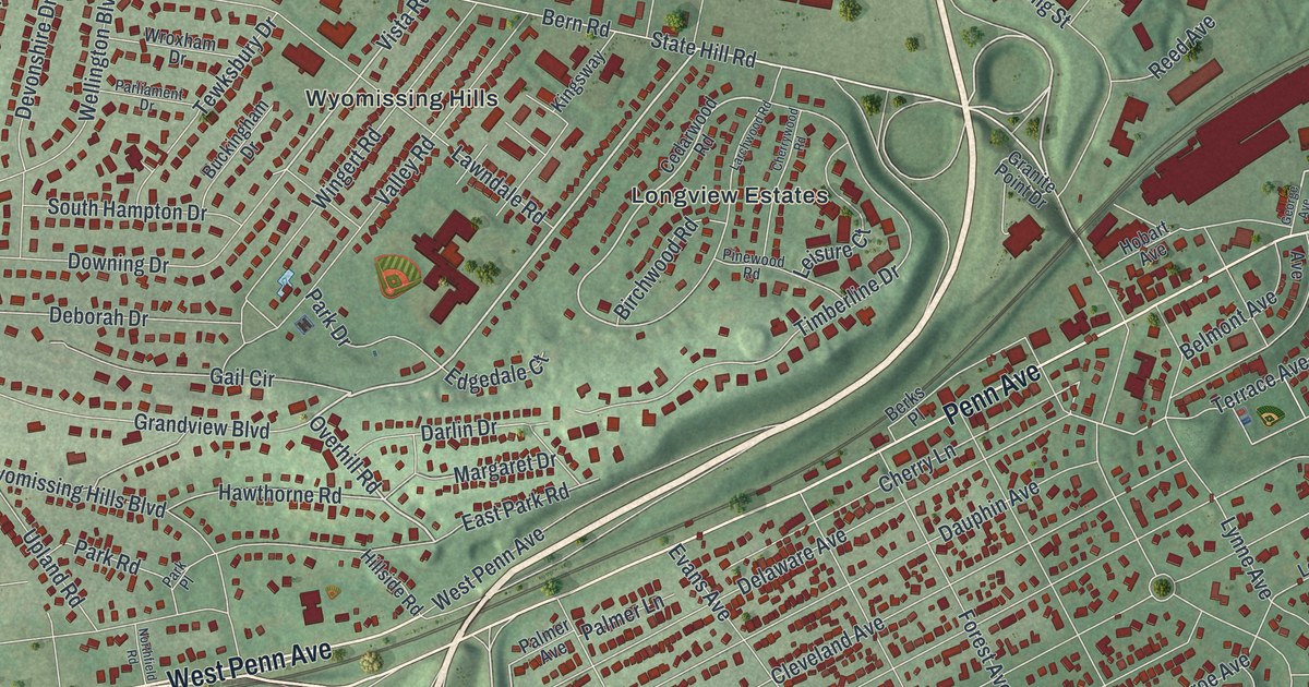
This beautifully detailed map of Wyomissing, Pennsylvania was created in 2026 using aerial imagery combined with modern topographical, census, street and landmark data. It’s a one-of-a-kind view of Wyomissing that combines accurate data with a vintage aesthetic. The map shows every building in its true location, many of the roads carry their names, and the shaded topographic relief shows the shape of the land.
Explore an aerial view of Wyomissing, Pennsylvania
On the map you’ll find Slate Hill Open Space, The Wyomissing Parklands, The Quarry Park, Berkshire Heights, Birdland, Highlands at Wyomissing, Longview Estates, and Wyomissing Hills, along with Penn Avenue, West Penn Avenue, Revere Boulevard, Woodland Road, and more. If you look closely you can even find your house accurately drawn in its correct location. Zoom in on the preview to look for yours.
Did you know this piece of Wyomissing, Pennsylvania history?
From the Annals of Berks County: "Wyomissing was erected on July 22, 1906. It takes its name from the stream which flows near the dividing line between Cumru and Spring townships for several miles."
Take a closer look at the Wyomissing map
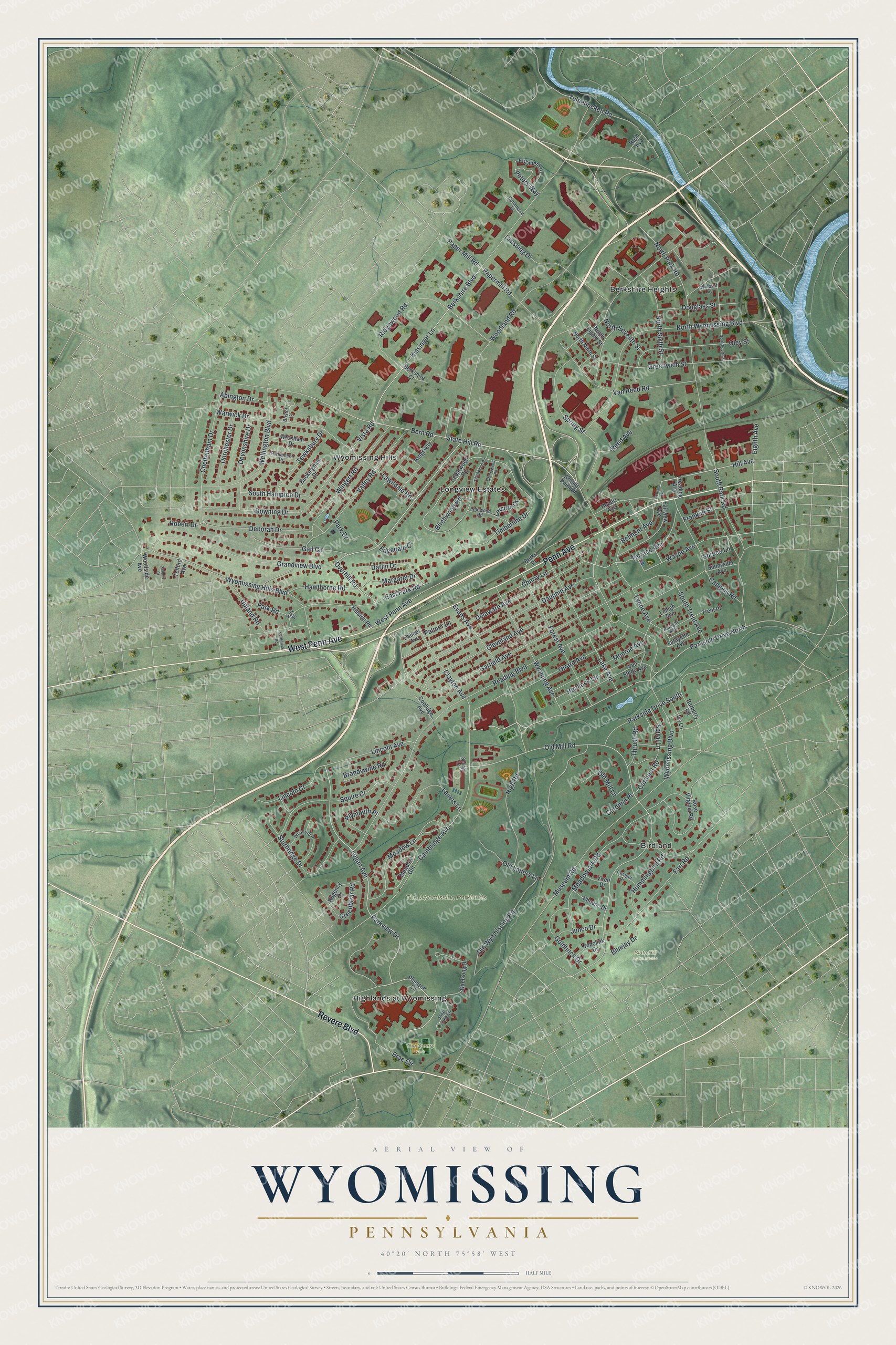
Street and place names on the Wyomissing, Pennsylvania map
These names are printed on the map of Wyomissing, Pennsylvania.
Places: Slate Hill Open Space, The Wyomissing Parklands, The Quarry Park, Berkshire Heights, Birdland, Highlands at Wyomissing, Longview Estates and Wyomissing Hills.
Streets and roads: Penn Avenue, West Penn Avenue, Revere Boulevard, Woodland Road, Bern Road, Overhill Road, Reading Boulevard, Logan Avenue, Parkside Drive North, Parkview Drive, Hill Avenue, Vista Road.
More street names, A to Z
Abington Drive, Albright Avenue, Barberry Road, Belmont Avenue, Berkshire Boulevard, Berkshire Court, Berks Place, Birchwood Road, Bluejay Drive, Bobolink Drive, Brae Circle, Brandywine Road, Bristol Court, Buckingham Drive, Cambridge Avenue, Campus Road, Cardinal Place, Cardinal Road, Cedarwood Road, Cheltenham Drive, Cherry Lane, Cherrywood Road, Clayton Avenue, Cleveland Avenue, Commerce Drive, Coolidge Avenue, Crossing Drive, Darlin Drive, Dauphin Avenue, Deborah Drive, Delaware Avenue, Devonshire Drive, Dorchester Drive, Douglass Street, Downing Drive, East Park Road, Edgedale Court, Eighth Avenue, Elizabeth Place, Evans Avenue, Fairview Avenue, Farr Road, Forest Avenue, Franklin Street, Gaelsong Drive, Gail Circle, Garfield Avenue, George Avenue, Girard Avenue, Goldfinch Drive, Grandview Boulevard, Granite Point Drive, Greenbriar Road, Greenwich Street, Hawthorne Road, Hemlock Lane, High Road, Hillside Road, Hobart Avenue, Hummingbird Road, Ivy Lane, Junco Drive, Kingsway, Kissinger Lane, Lafayette Avenue, Lake Avenue, Larchwood Road, Lauers Lane, Lawndale Road, Lehigh Avenue, Leisure Court, Lincoln Avenue, Lincoln Court, Lynne Avenue, Margaret Drive, Meadow Gln, Meadow Lane, Meadowlark Road, Monroe Avenue, Museum Road, North Eighth Street, Northfield Road, North Fourth Street, North Ninth Street, North Park Road, North Seventh Street, North Sixth Street, North Wyomissing Boulevard, Old Lauers Lane, Old Mill Lane, Old Mill Road, Old Wyomissing Road, Oley Street, Palmer Avenue, Palmer Lane, Papermill Road, Paper Mill Road, Park Drive, Park Place, Park Road, Parkside Drive South, Parliament Drive, Peters Way, Phoebe Drive, Pinetree Lane, Pine Tree Lane, Pinewood Road, Plymouth Place, Reading Avenue, Reed Avenue, Regency Drive, Resh Avenue, Ridgewood Road, Robert Drive, Rose Virginia Road, Seibert Court, South Hampton Drive, South Park Road, South Trent Avenue, Spiral Lane, Spring Lane, Spring Street, Spruce Lane, Squire Court, State Hill Road, Sturbridge Drive, Sunnyside Avenue, Tanager Drive, Telford Avenue, Terrace Avenue, Tewksbury Drive, Thrush Road, Timberline Drive, Trent Place, Tulpehocken Road, Upland Road, Valley Road, Van Reed Road, Van Steffy Avenue, Vireo Drive, Warwick Drive, Wayne Avenue, Wellington Boulevard, Wickford Place, Windsor Street, Wingert Road, Woodside Avenue, Wroxham Drive, Wyoming Avenue, Wyomissing Boulevard, Wyomissing Hills Boulevard.
See the Wyomissing, Pennsylvania map on a wall
The Wyomissing map as an 18 x 24 inch print in a black frame.

This beautifully detailed map of Wyomissing makes an attractive addition to your office, library, or den, and it can even be used to teach children the geography and history of the area. It also makes a great gift for anyone with Wyomissing roots. When you’re done exploring, click here to get your copy of the Wyomissing map.