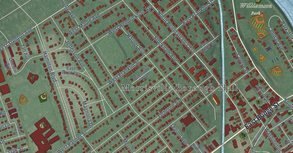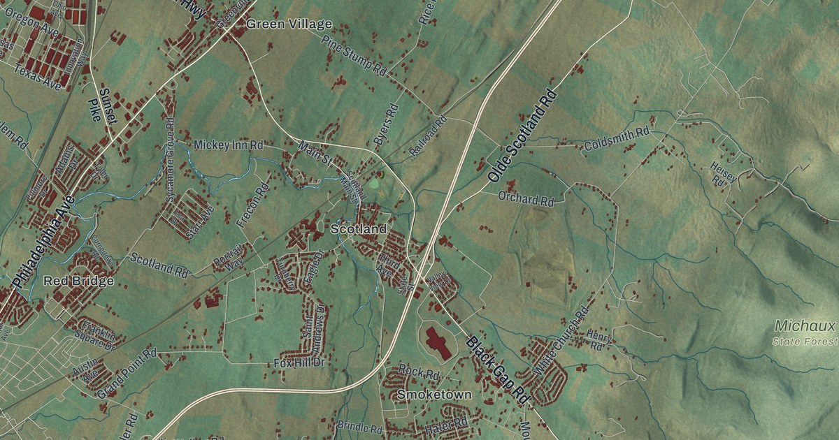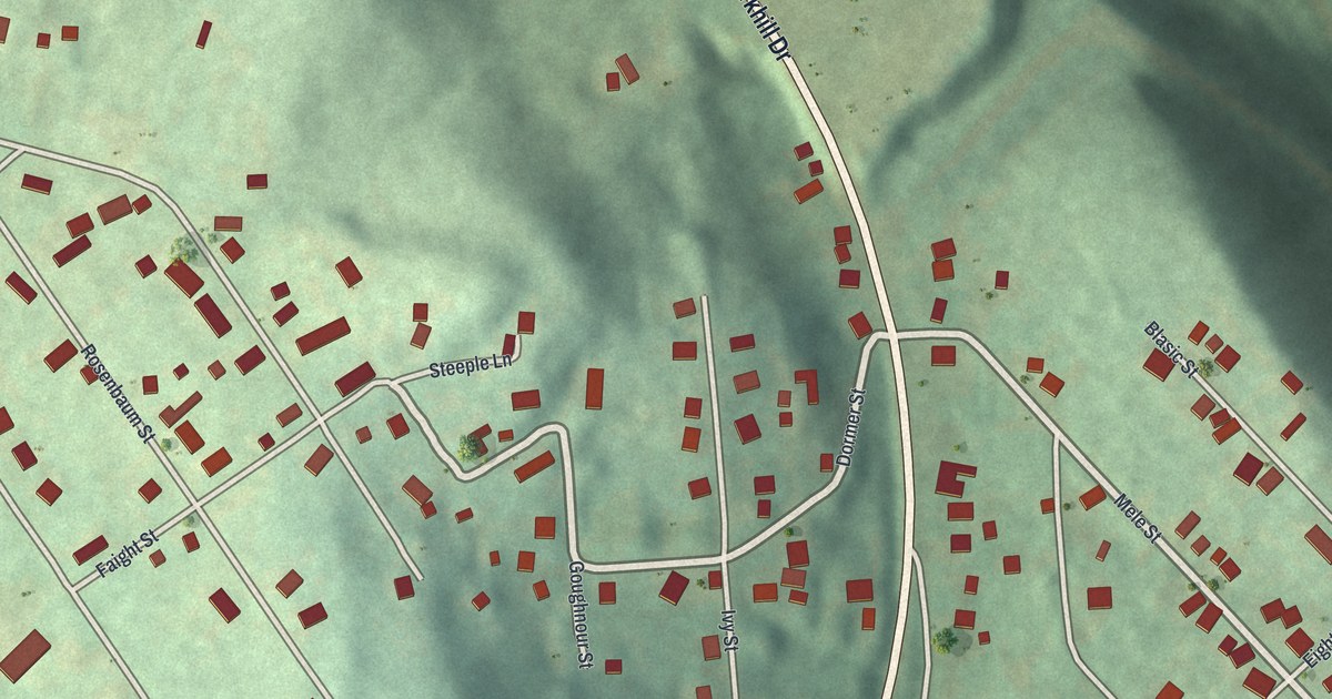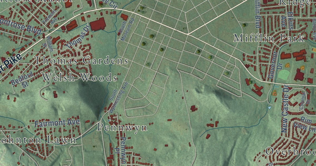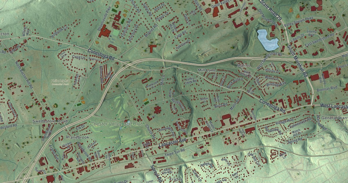
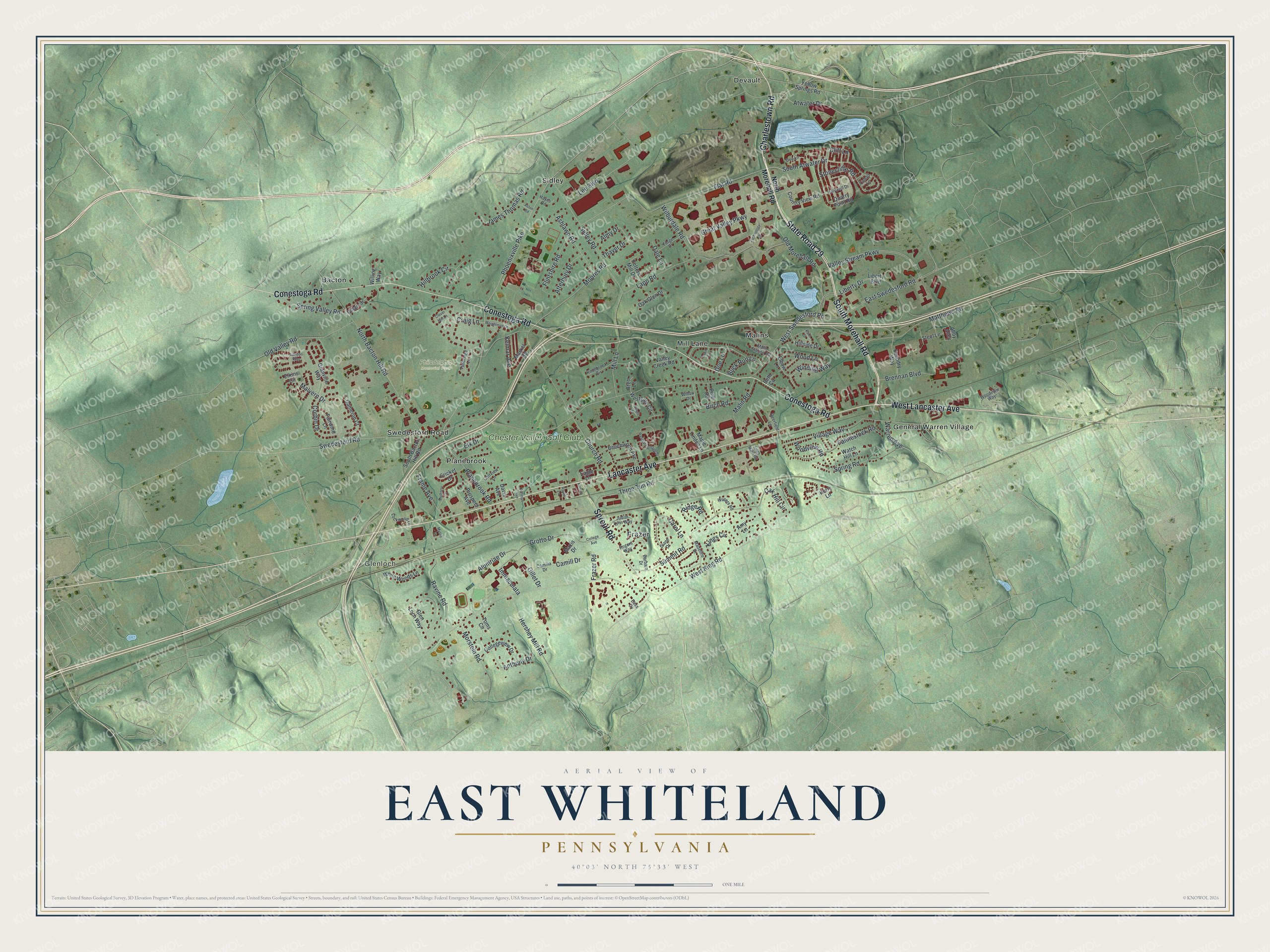
This beautifully detailed map of East Whiteland, Pennsylvania was created in 2026 using aerial imagery combined with modern topographical, census, street and landmark data. It’s a one-of-a-kind view of East Whiteland that combines accurate data with a vintage aesthetic. The map shows every building in its true location, many of the roads carry their names, and the shaded topographic relief shows the shape of the land.
Explore an aerial view of East Whiteland, Pennsylvania
On the map you’ll find Glenloch, Philadelphia Memorial Park, Bacton, Devault, Frazer, General Warren Village, Malins, Planebrook, Sidley, and Chester Valley Golf Club, along with Mill Lane, Swedesford Road, and more. If you look closely you can even find your house accurately drawn in its correct location. Zoom in on the preview to look for yours.
Did you know this piece of East Whiteland, Pennsylvania history?
From the PA Historical and Museum Commission: "Following the September 1777 Battle of Brandywine, Continental forces retreated to regroup along Swedesford Road near the White Horse Tavern. With British troops in pursuit, the onset of a sudden downpour and resulting wet gunpowder delayed an imminent confrontation."
Take a closer look at the East Whiteland map
Street and place names on the East Whiteland, Pennsylvania map
These names are printed on the map of East Whiteland, Pennsylvania.
Places: Glenloch, Philadelphia Memorial Park, Bacton, Devault, Frazer, General Warren Village, Malins, Mill Lane, Planebrook, Sidley, Swedesford Road and Chester Valley Golf Club.
Streets and roads: State Road 29, South Morehall Road, West Lancaster Avenue, Charlestown Road, Lancaster Avenue, Conestoga Road, Sproul Road, South Atwater Drive, Phoenixville Pike, Atwater Drive, West Swedesford Road, West King Road.
More street names, A to Z
Alloy Alley, Almy Drive, Alumriae Drive, Amy Lane, Anthony Drive, Ashlawn Road, Aspen Lane, Aston Road, Atterbury Drive, Barbara Drive, Bass Cv, Beechwood Avenue, Beth Circle, Birch Road, Brennan Boulevard, Brett Lane, Buck Run Lane, Cameron Court, Camilla Drive, Camill Drive, Carol Lane, Church Road, Cliff Lane, Clover Mill Lane, Cobalt Lane, Coffman Avenue, College Avenue, Collegeview Drive, Corbin Drive, Country View Road, Craig Lane, Cricket Drive, Dale Lane, Davis Avenue, Dee Lane, Deerfield Lane, Diane Drive, Dillan Drive, Doe Lane, Eagle Lane, East Swedesford Road, Elbow Lane, Elk Drive, Elkins Circle, Fahnestock Road, Fairwind Lane, Fawn Circle, Fetters Mill Drive, Flat Road, Flintshire Road, Forge Drive, Foundry Way, Frame Avenue, Frazer Road, Gillet Drive, Glen Loch Way, Golfview Lane, Granville Way, Great Valley Parkway, Grotto Drive, Hayes Road, Hershey Mill Road, Hillbrook Circle, Hillside Drive, Holywell Drive, Immaculata, James Thomas Road, Judith Lynn Way, Kane Drive, Kelmar Avenue, Kenney Court, Kerry Lane, Kings Circle, Knollbrook Circle, Landon Way, Lapp Road, Lee Boulevard, Liberty Boulevard, Liberty Drive, Lockwood Lane, Madeline Drive, Malin Road, Malin Station Road, Malvern Drive, Maple Linden Lane, Markel Road, Matthews Road, Maxis Drive, Moores Road, Morstein Road, Mulberry Drive, Mystic Lane, North Bacton Hill Road, North Morehall Road, Oak Glen Drive, Oak Hill Circle, Old Morehall Road, Old Valley Road, Pine Road, Planebrook Road, Prospect Avenue, Quarry Point Road, Ravine Road, Ridge Road, Rogers Way, Sidley Road, South Bacton Hill Road, South Malin Road, Spring Road, Spring Valley Road, Steel Lane, Stonecliffe Road, Stuart Drive, Summit Road, Technology Drive, Thayer Drive, Three Tun Road, Toms Circle, Tunbridge Lane, Valley Creek Road, Valley Stream Parkway, Village Way, Warren Avenue, Watch Hill Lane, Waters Road, Weightman Drive, Westgate Circle, Westgate Village Drive, White Woods Lane, Wilburdale Road, Willing Way, Willow Drive, Winding Way, Wood Lane, Woodview Road, Woodview Way, Yellow Springs Road.
See the East Whiteland, Pennsylvania map on a wall
The East Whiteland map as an 18 x 24 inch print in a black frame.

This beautifully detailed map of East Whiteland makes an attractive addition to your office, library, or den, and it can even be used to teach children the geography and history of the area. It also makes a great gift for anyone who grew up in East Whiteland or moved away. When you’re done exploring, click here to get your copy of the East Whiteland map.