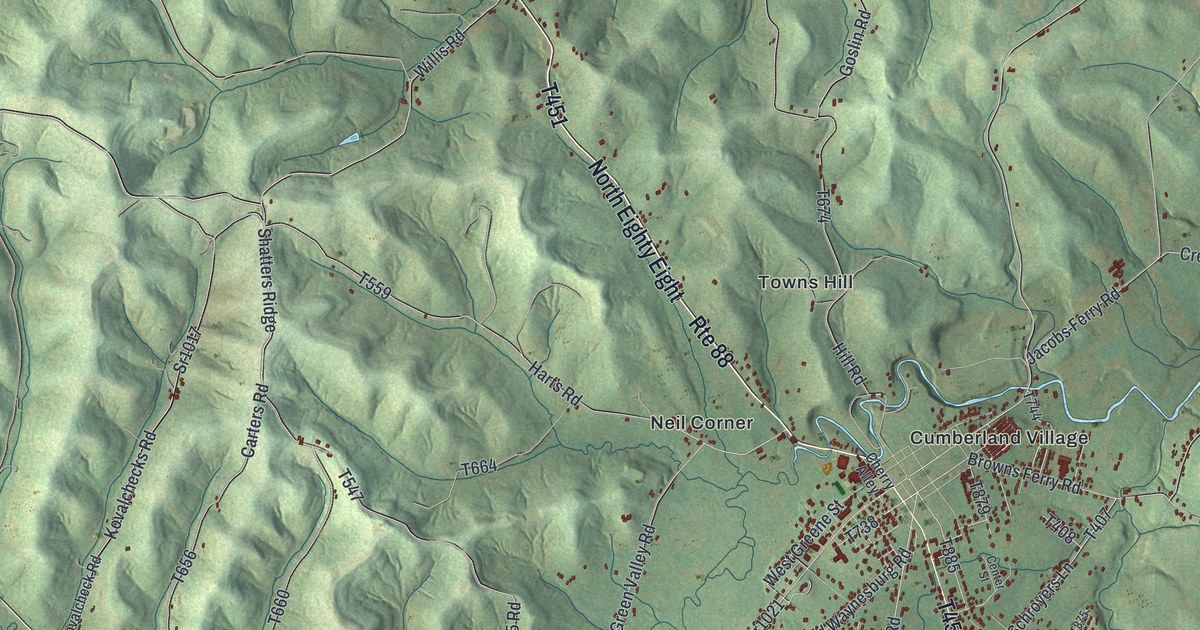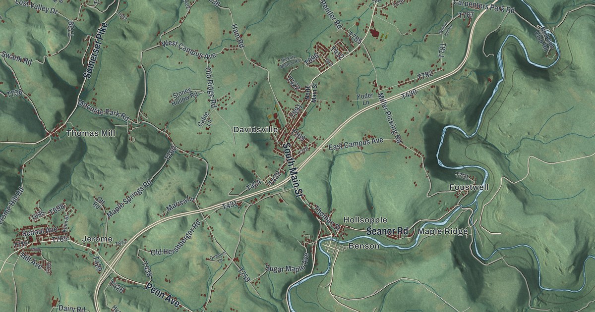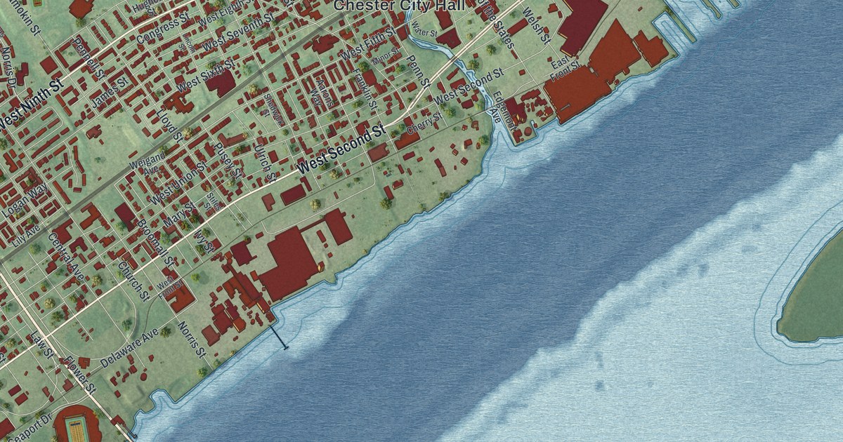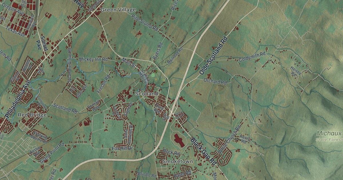
If you grew up in Green Village, Scotland or Fayetteville, or you were a student at the Scotland School for Veterans' Children, this map has your roads on it. It's a modern aerial view of Greene Township in Franklin County, Pennsylvania, made from modern data and given a vintage artistic feel. Thousands of buildings are marked in deep red in the villages and along the roads between them. The shaded hills of Michaux State Forest rise on the right side of the sheet. The view runs from Nyesville near the top down to Caledonia Park near the bottom right. Explore the print options for Greene, Franklin County.
Green Village, Scotland and Lincoln Way East
Start at Green Village, where Cumberland Highway and Molly Pitcher Highway pass close together. Rowe Run Road heads north from Cumberland Highway toward Nyesville, and Nyesville Road runs right through it. Now follow Cumberland Highway south to Scotland. Scotland Main Street runs through the village, and Scotland Road heads west from there. Black Gap Road starts near Scotland and runs southeast toward the hills. Smoketown sits just off it, with Woodstock a little farther south. Coldspring Road leaves Black Gap Road and drops south through Cold Spring and Germantown to Fayetteville. From there, Lincoln Way East runs east past Brownsville and Mount Union toward Caledonia Park. The hills of Michaux State Forest fill the right side of the sheet, and Stillhouse Hollow Road winds up into them. Plenty of roads carry labels, and every red shape is a building. Zoom in on the preview and look for yours.
How Alexander Thomson helped settle Scotland, Pennsylvania
The Thomson and Torrence families were the first to settle Scotland. Alexander Thomson sailed from Greenock, Scotland, with his family in July 1771. They landed in Boston that September. Other Scots were heading for Vermont and the Carolinas, but Thomson thought this valley looked best. He bought 500 acres that took in the site of the village. His house became the meeting place for Covenanters from miles around. They belonged to a strict Scottish church. Their church here was formally organized on August 17, 1791. The 1887 History of Franklin County tells the story. It also says that around 1832 the place was known as Locust Grove Mills. Scotland sits on Conococheague Creek, though the creek isn't labeled on the map.
Scotland Road carries the village's other big story. A state historical marker at 3583 Scotland Road stands for the Scotland School for Veterans' Children. It opened in 1895 as the Pennsylvania Soldiers' Orphans Industrial School. About 10,000 boys and girls lived and studied there. The school closed in 2009. Its teams, the Cadets and the Red Devils, won many championships. The school itself isn't labeled. Find where Scotland Road meets Scotland Main Street and zoom in on the buildings around it.
Up near the top of the sheet, Nyesville Road runs south from Nyesville. The National Register lists the Culbertson-Harbison Farm along it. The Culbertsons were among the first families here. Brothers Joseph and Robert Culbertson took up land in 1744. The same book tells of two later Culbertsons, Joseph and Samuel, who looked so much alike that one wore his hat half cocked and the other full cocked. That way the neighbors could tell them apart.
For someone from Green Village, Scotland or Fayetteville
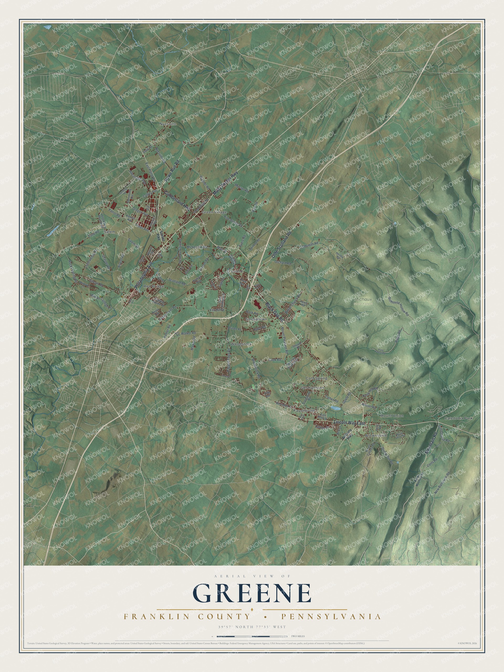
Created by KNOWOL in 2026, this Greene Township map suits a den, an office or a farmhouse kitchen. The shaded hills come from USGS elevation data, and the buildings stand out in deep red against the green valley. The title panel reads "Aerial View of Greene, Franklin County, Pennsylvania" with the coordinates 39°57' North, 77°33' West and a two-mile scale bar.
It's a thoughtful gift for a Scotland School alum, someone who grew up near Green Village, or anyone who moved away from Fayetteville. Open the preview, zoom in and find the road you know best. Shop the Greene, Franklin County, Pennsylvania map.