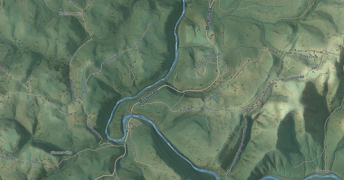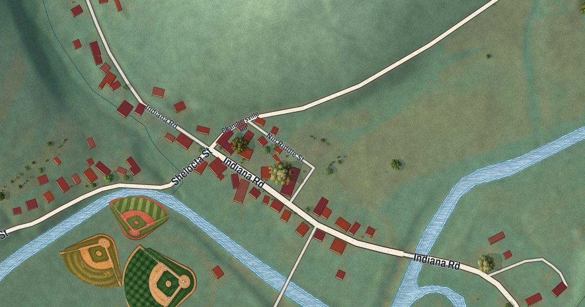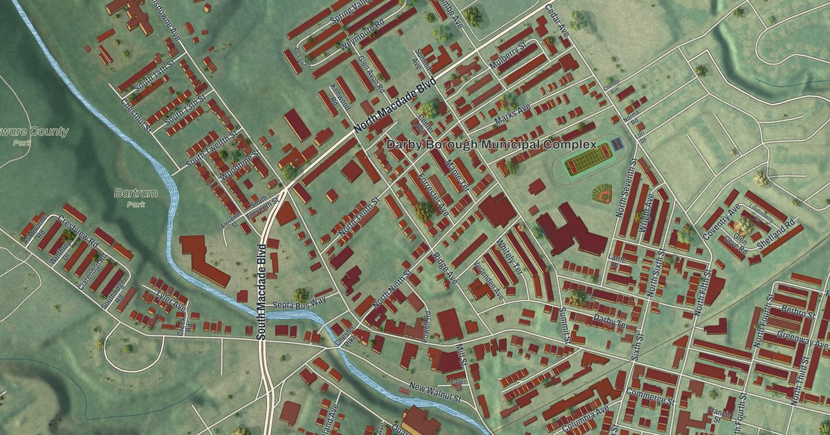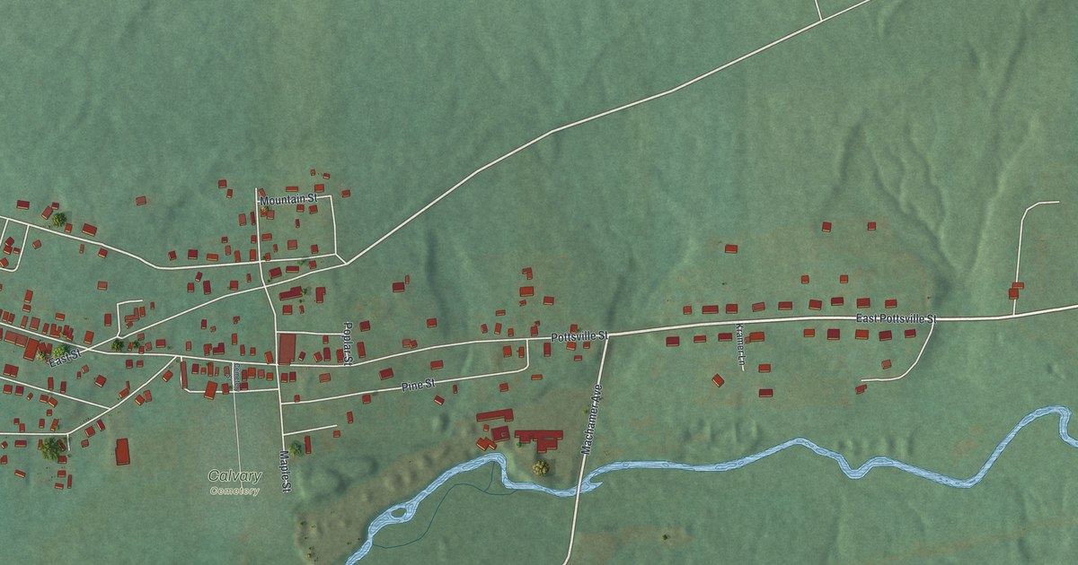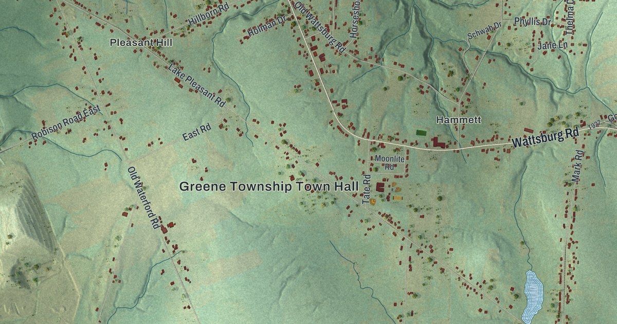
This beautifully detailed map of Greene, Erie County, Pennsylvania was created in 2026 using aerial imagery combined with modern topographical, census, street and landmark data. It’s a one-of-a-kind view of Greene that combines accurate data with a vintage aesthetic. The map shows every building in its true location, many of the roads carry their names, and the shaded topographic relief shows the shape of the land.
Explore an aerial view of Greene, Erie County, Pennsylvania
On the map you’ll find Greene Township Town Hall, Sampson, Belleview Heights, State Game Lands Number 218, Bogus Corners, Hammett, Kuhl, Pleasant Hill, Weeds Corners, and West Greene, along with Wattsburg Road, Old Wattsburg Road, and more. If you look closely you can even find your house accurately drawn in its correct location. Zoom in on the preview to look for yours.
Take a closer look at the Greene, Erie County map
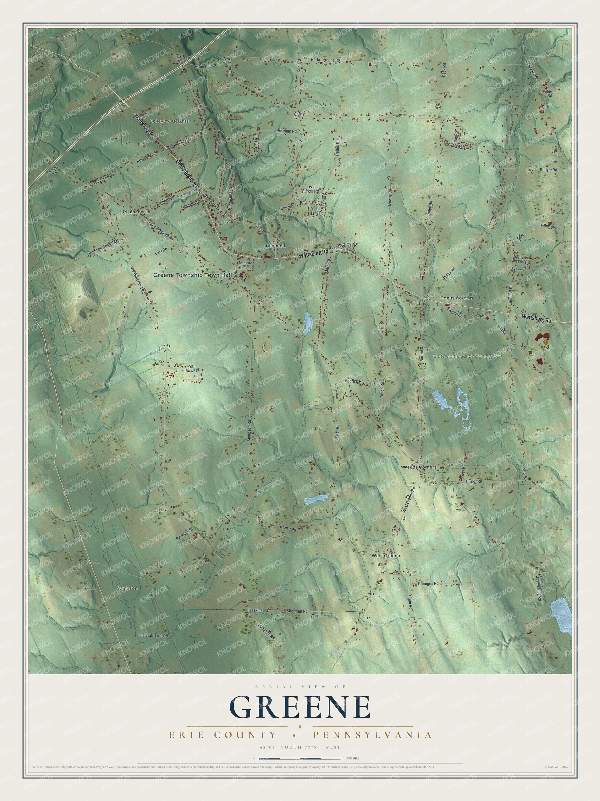
Street and place names on the Greene, Erie County, Pennsylvania map
These names are printed on the map of Greene, Erie County, Pennsylvania.
Places: Greene Township Town Hall, Sampson, Belleview Heights, State Game Lands Number 218, Bogus Corners, Hammett, Kuhl, Pleasant Hill, Weeds Corners and West Greene.
Streets and roads: Wattsburg Road, Old Wattsburg Road, Bliley Road, Barton Road, Donation Road, Morehouse Road, Lake Pleasant Road, Sampson Road, Knoyle Road, Old Waterford Road, Harborgreene Road, Jones Road.
More street names, A to Z
Appleman Road, Beech Tree Lane, Bennett Road, Brown Road, Clemens Road, Deer Run Trail, Dewey Road, Don Drive, Dutch Road, Dyer Road, East Road, Etter Road, Filley Road, Gonda Drive, Gunnison Road, Haft Road, Hartman Road, Haskins Road, Hedrick Road, Heibel Road, Hillborn Road, Hill Road, Holman Drive, Horseshoe Drive, Jane Lane, Jordan Road, Juva Valley Road, Kane Hill Road, Kirsch Road, Kosiorek Drive, Kuhl Road, Langdon Road, Maplewood Drive, Mark Road, May Road, Moonlite Road, Old State Line Road, Peck Road, Phyllis Drive, Pine Leaf Drive, Raybuck Court, Robison Road East, Schwab Drive, Sherman Road, Siegel Road, Steger Road, Tate Road, Thelma Drive, Turner Road, Wales Road, West Greene Road, Wildman Road, Yaple Road.
See the Greene, Erie County, Pennsylvania map on a wall
The Greene, Erie County map as an 18 x 24 inch print in a black frame.

This beautifully detailed map of Greene, Erie County makes an attractive addition to your office, library, or den, and it can even be used to teach children the geography and history of the area. It also makes a great gift for someone who left Greene and still calls it home. When you’re done exploring, click here to get your copy of the Greene, Erie County map.