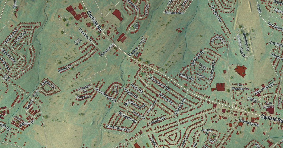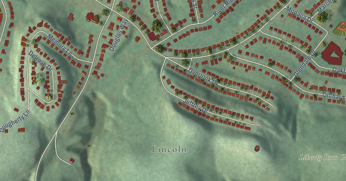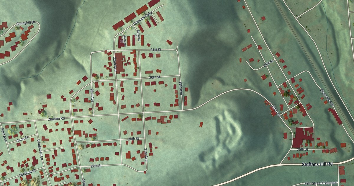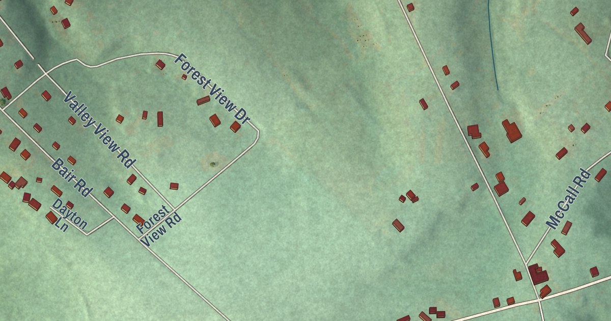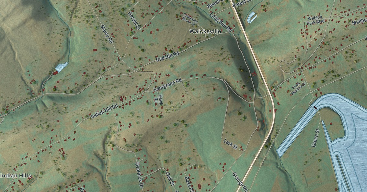
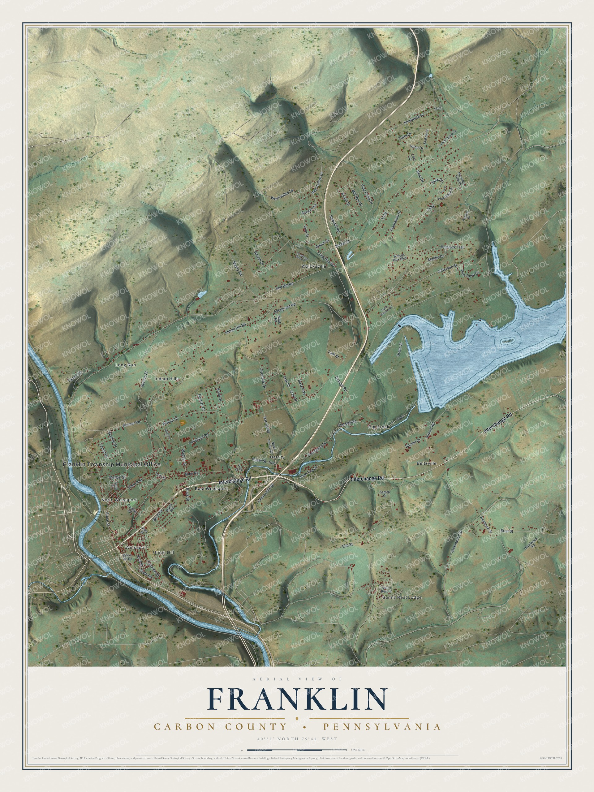
This beautifully detailed map of Franklin, Carbon County, Pennsylvania was created in 2026 using aerial imagery combined with modern topographical, census, street and landmark data. It’s a one-of-a-kind view of Franklin that combines accurate data with a vintage aesthetic. The map shows every building in its true location, many of the roads carry their names, and the shaded topographic relief shows the shape of the land.
Explore an aerial view of Franklin, Carbon County, Pennsylvania
On the map you’ll find Franklin Township Municipal Office, Sunny Rest Lodge, Weissport, Union Hill, Beltzville, Big Creek, East Weissport, Harrity, Indian Hills, Long Run, North Weissport, Walcksville, and more. If you look closely you can even find your house accurately drawn in its correct location. Zoom in on the preview to look for yours.
Did you know this piece of Franklin, Carbon County, Pennsylvania history?
Franklin Township is named for Benjamin Franklin. He came to the area in 1756, during the French and Indian War, to build Fort Allen close by. The township became its own government on January 2, 1851, after splitting from Upper Towamensing.
Take a closer look at the Franklin, Carbon County map
Street and place names on the Franklin, Carbon County, Pennsylvania map
These names are printed on the map of Franklin, Carbon County, Pennsylvania.
Places: Franklin Township Municipal Office, Sunny Rest Lodge, Weissport, Union Hill, Beltzville, Big Creek, East Weissport, Harrity, Indian Hills, Long Run, North Weissport and Walcksville.
Streets and roads: Interchange Road, Vine Street, Canal Street, Pohopoco Drive, Maury Road, Long Run Road, Fairyland Road, Green Street, Indian Hill Road, Forest Street, Main Road, Rock Street.
More street names, A to Z
Acorn Drive, Airport Road, Allen Street, Bass Pike, Bear Drive, Beech Street, Bee Hollow Drive, Birch Drive, Briar Street, Cedar Street, Cherry Hill Road, Church Street, Creekside Manor Drive, Elm Street, Evergreen Road, Fairview Street, Frankie Drive, Franklin Road, Fresh Meadow Drive, Gerald Drive, Grange Road, Green Forest Lane, Greenwood Street, Harrity Road, Hawk Road, Hazelwood Road, Held Street, Hemlock Street, Hemlock Trail, Innsbruck Drive, Jefferson Street, Knoll Drive, Krakow Drive, Lark Street, Laurel Drive, Malibu Drive, Maple Avenue, Market Street, Mill Run Drive, Mountain View Drive, North Harrity Road, Oak Drive, Oak Street, Old Mill Road, Overlook Drive, Park Drive, Penn Street, Pine Cone Drive, Pine Cove Court, Pine Drive, Pine Ridge Drive, Pine Top Drive, Plantation Drive, Reber Street, Red Hill Road, Renner Road, Robrucel Drive, Sawmill Road, Scenic Vw, Scotch Court, Skyline Drive, Snyder Drive, Spruce Street, State Road, Sunny Rest Drive, Sunrise Drive, Sunset Drive, Taners Drive, Tatra Drive, Tirol Circle, Union Hill Road, Vilno Drive, Wagner Street, Walnut Street, Watson Park Boulevard, West Valley Drive.
See the Franklin, Carbon County, Pennsylvania map on a wall
The Franklin, Carbon County map as an 18 x 24 inch print in a black frame.

This beautifully detailed map of Franklin, Carbon County makes an attractive addition to your office, library, or den, and it can even be used to teach children the geography and history of the area. It also makes a great gift for anyone with Franklin roots. When you’re done exploring, click here to get your copy of the Franklin, Carbon County map.