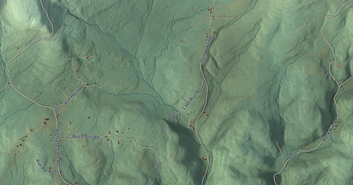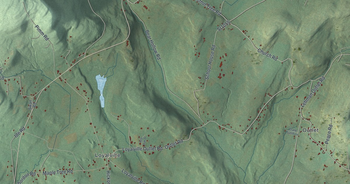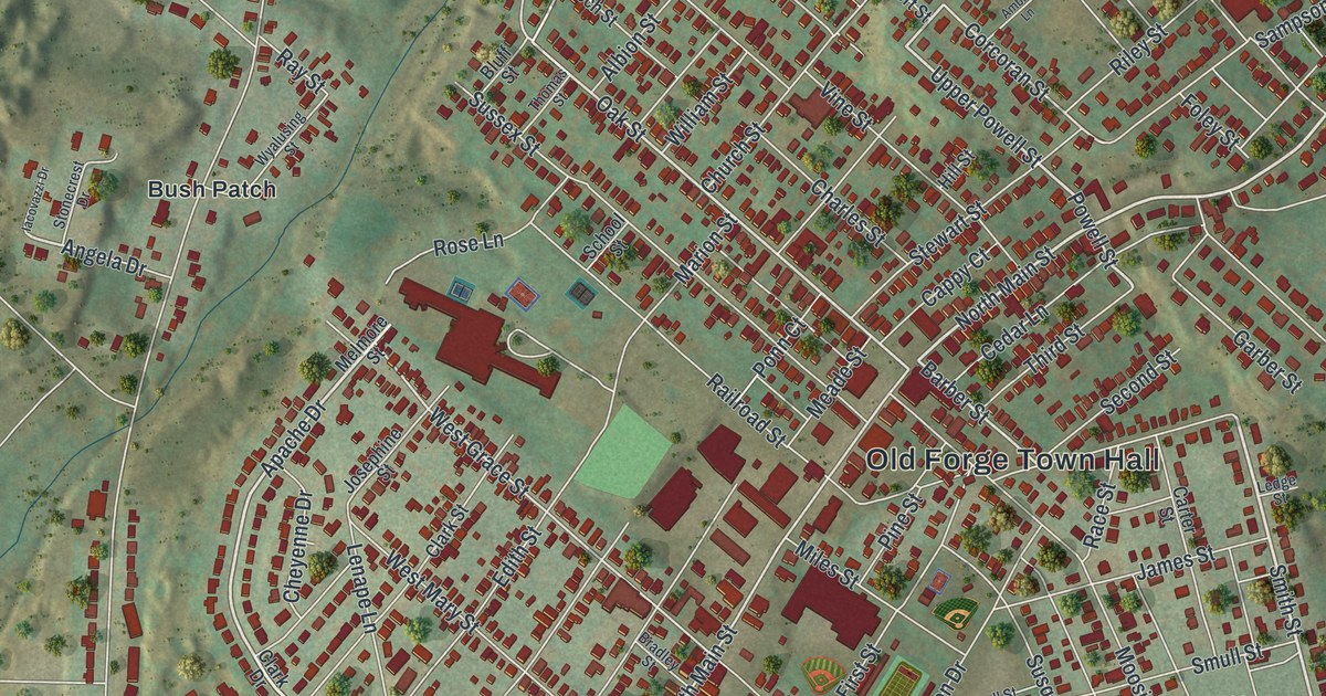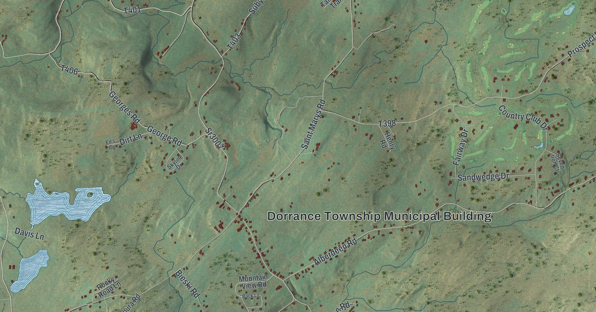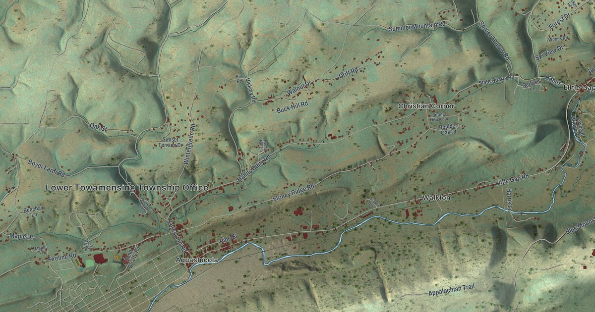
This beautifully detailed map of Lower Towamensing, Pennsylvania was created in 2026 using aerial imagery combined with modern topographical, census, street and landmark data. It’s a one-of-a-kind view of Lower Towamensing that combines accurate data with a vintage aesthetic. The map shows every building in its true location, many of the roads carry their names, and the shaded topographic relief shows the shape of the land.
Explore an aerial view of Lower Towamensing, Pennsylvania
On the map you’ll find Lower Towamensing Township Office, Aquashicola, Christian Corner, Little Gap, and Walkton, along with Spruce Road, 57 Road, Gap Road, Red Hill Drive, Sunny Rest Drive, Forest Inn Road, and more. If you look closely you can even find your house accurately drawn in its correct location. Zoom in on the preview to look for yours.
Did you know this piece of Lower Towamensing, Pennsylvania history?
From the 1913 History of Carbon County, Pennsylvania; also containing a separate account of the several boroughs and townships in the county,: "Originally it formed a part of Towamensing township, being separately organized in 1841. The earliest settler within the present limits of Lower Towamensing of whom any record remains was Nicholas Opplinger, who established himself near the mouth of the Aquashicola about the year 1750."
Take a closer look at the Lower Towamensing map
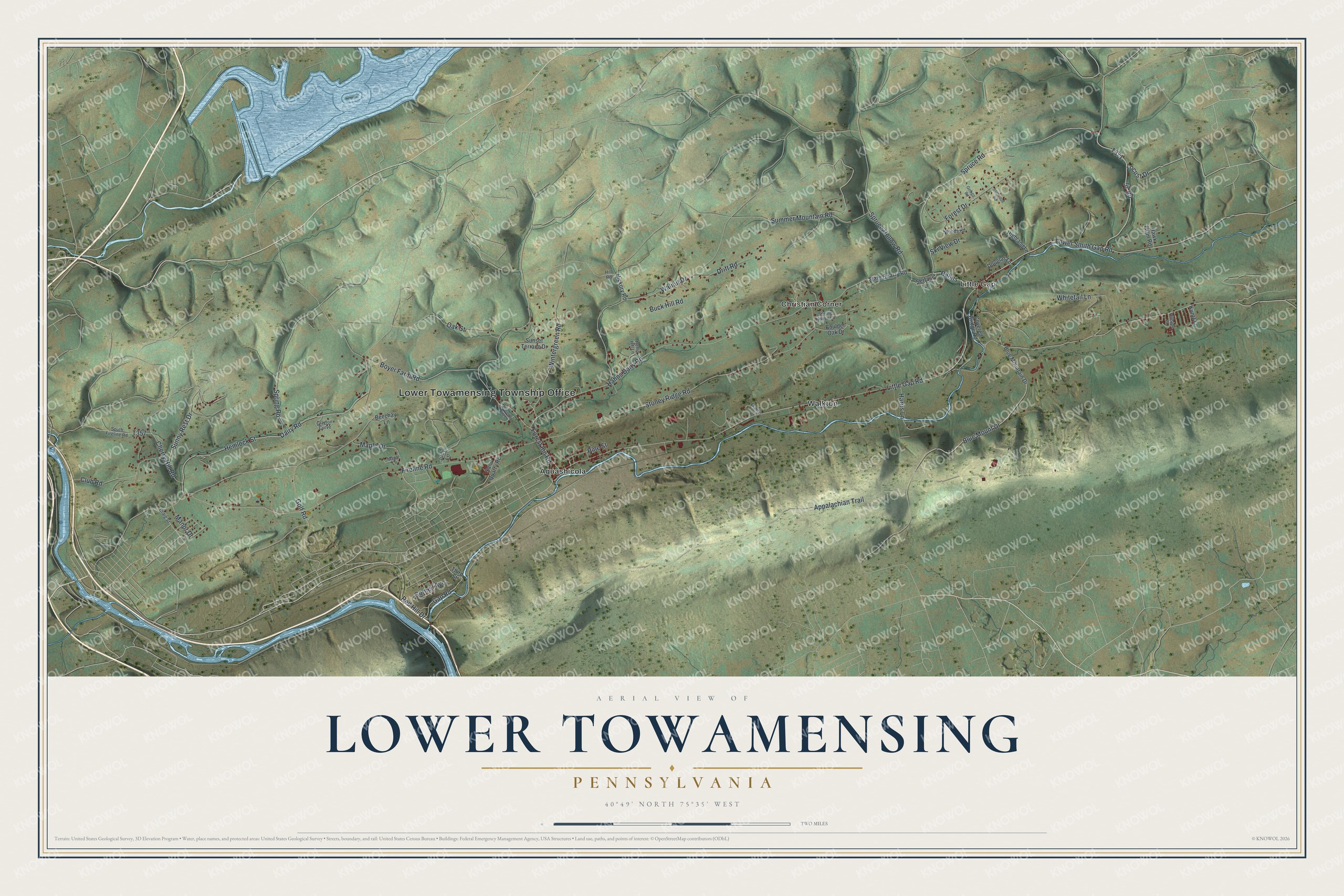
Street and place names on the Lower Towamensing, Pennsylvania map
These names are printed on the map of Lower Towamensing, Pennsylvania.
Places: Lower Towamensing Township Office, Aquashicola, Christian Corner, Little Gap and Walkton.
Streets and roads: Spruce Road, 57 Road, Gap Road, Red Hill Drive, Sunny Rest Drive, Forest Inn Road, Little Gap Road, Lower Smith Gap Road, Hahns Dairy Road, Dairy Road, Fireline Road, Appalachian Trail.
More street names, A to Z
Beechay Lane, Blue Mountain Drive, Blue Mount Drive, Boulder Oak Drive, Boyer Farm Road, Buck Hill Road, Cherry Hill Road, Clayton Curve, Club Road, Cornell Avenue, Covered Bridge Road, Craig Street, Douglas Lane, Drift Road, Forest Drive, Frantz Lane, Ginkgo Road, Golf Road, Hahns, Harris Lane, Hawk Farm Road, Hemlock Street, Hemp Hill Lane, Hickory Road, Highland Lane, Hill Road, Hillside Place, Ironwood Road, Judy Lane, Kuntz Lane, Locust Drive, Manor Drive, Maple Drive, Maple Lane, Oak Street, Pine Street, Princeton Pines, Sand Quarry Road, Serfass Lane, Ski View Drive, South Fireline Road, Spring House Lane, Spring Road, Spruce Hollow Road, State Quarry Road, Stoney Ridge Road, Summer Mountain Road, Sunset Terrace Drive, Third Street, Walnut Drive, Whitetail Lane, Wintergreen Road, Woods Road.
See the Lower Towamensing, Pennsylvania map on a wall
The Lower Towamensing map as an 18 x 24 inch print in a black frame.

This beautifully detailed map of Lower Towamensing makes an attractive addition to your office, library, or den, and it can even be used to teach children the geography and history of the area. It also makes a great gift for anyone who grew up in Lower Towamensing or moved away. When you’re done exploring, click here to get your copy of the Lower Towamensing map.