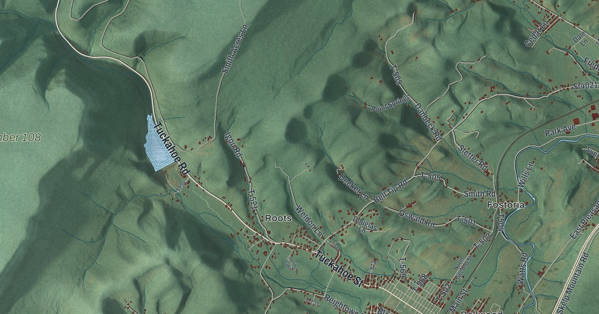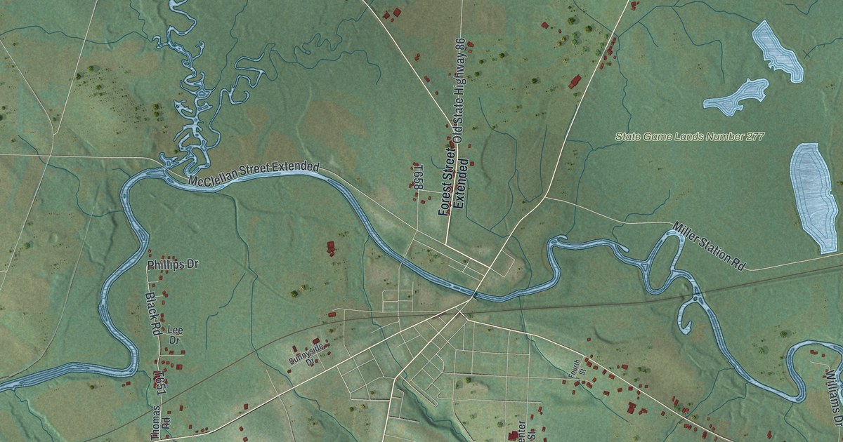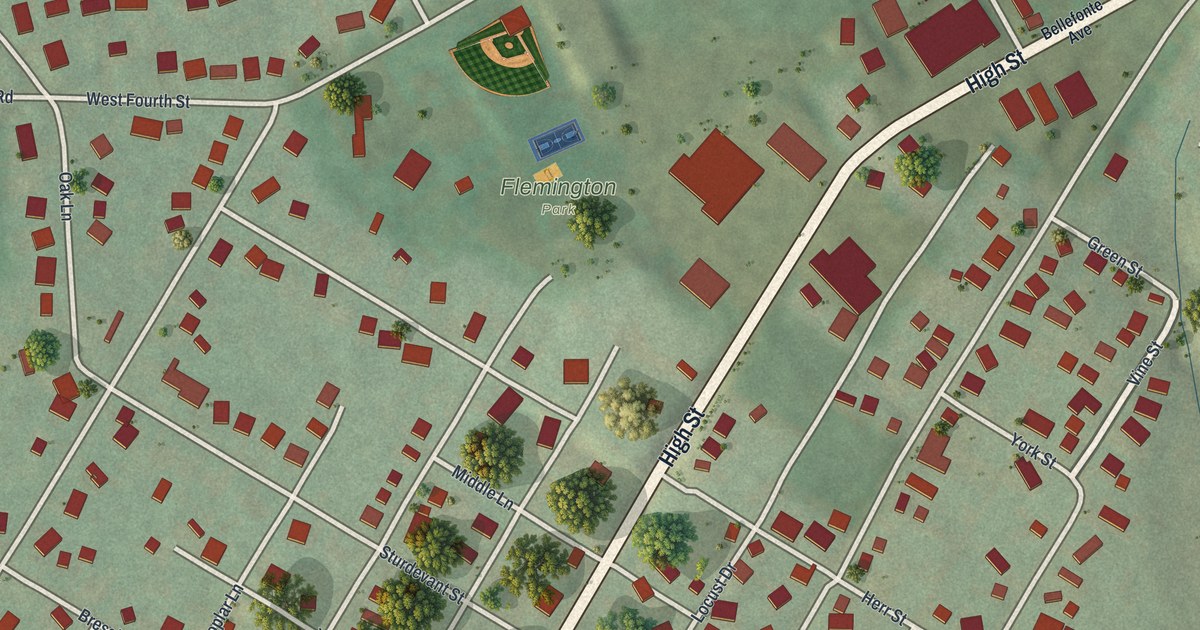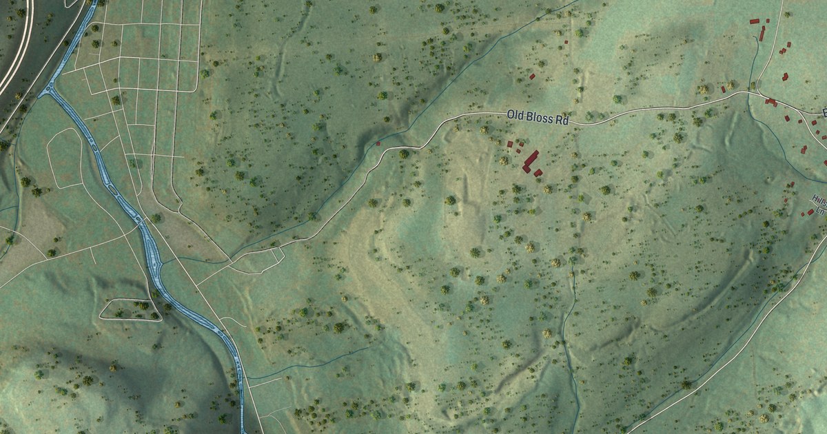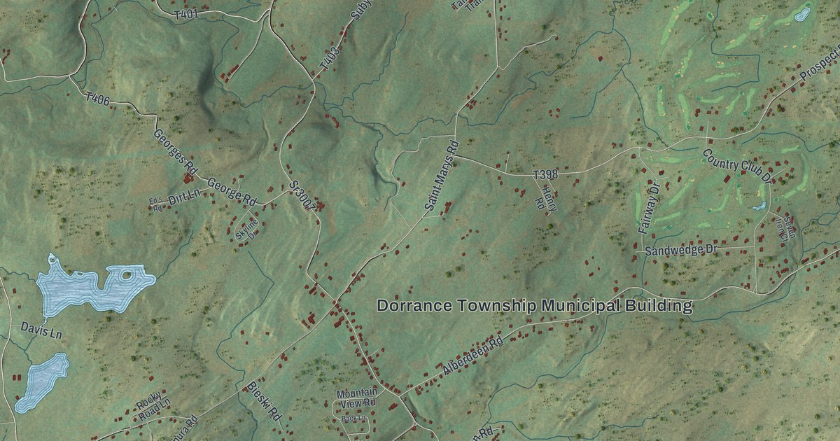
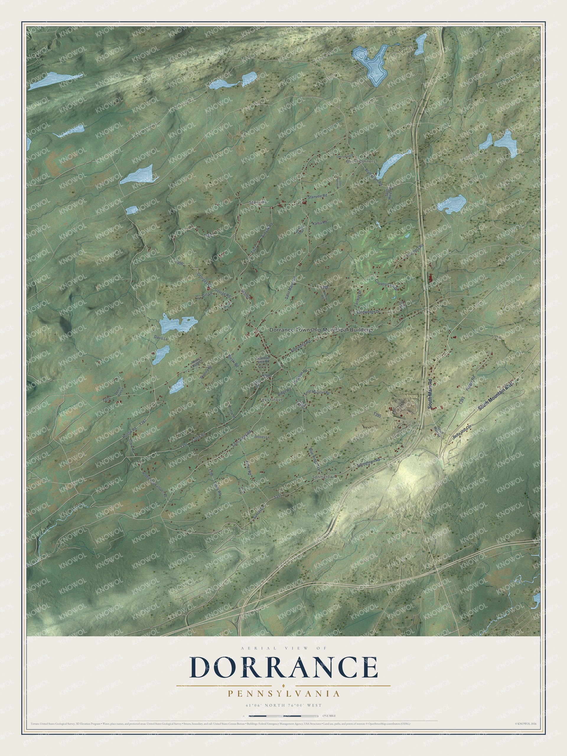
This beautifully detailed map of Dorrance, Pennsylvania was created in 2026 using aerial imagery combined with modern topographical, census, street and landmark data. It's a modern aerial view of Dorrance in Luzerne County, Pennsylvania, that combines modern data with a vintage aesthetic. The roads feature printed names, and if you look closely you can find your exact house accurately shown in its correct location.
Explore an aerial view of Dorrance, Pennsylvania
On this map you'll find Dorrance Township Municipal Building, Bliem Corners, Feys Grove, Springtown, Stairville, South Main Road, South Mountain Boulevard, Hollow Road, T387, Saint Johns Road, Creek Road, T397, and more. Each red shape is a building, so zoom in on the preview and look for yours.
Here is a piece of Dorrance history, in the words of the record. The Luzerne County PAGenWeb puts it this way: "It bears the immortal name of Col. George Dorrance, who fell in the Wyoming battle July 3, 1778."
Dorrance is a place in Luzerne County. The Census Bureau counted 2,076 people here in 2020.
Take a closer look at the Dorrance map
Names on this map
These names are printed on this map.
Places: Dorrance Township Municipal Building, Bliem Corners, Feys Grove, Springtown and Stairville.
Streets and roads: South Main Road, South Mountain Boulevard, Hollow Road, Saint Johns Road, Creek Road, Blytheburn Road, Sr3007, George Road, Springtown Road, Saint Marys Road, Prospect Road, Hill Drive.
More street names, A to Z
Acher Road, Alberdeen Road, Back Lane, Bella Vista Drive, Bieski Road, Blue Ridge Trail, Catie Lane, Cherrywood Drive, Clark Road, Country Club Drive, Davis Lane, Deere Run Lane, Dirt Lane, Ed's Road, Fairway Drive, Georges Road, Gussies Lane, Henry Road, Hobbie Wapwallopen Road, Hoffman Road, Kania Road, Lilac Springs Lane, Mountain View Road, Ridge Road, Rocky Road Lane, Rowlands Lane, Sandwedge Drive, Sandys Way Lane, Seven Iron Court, Skapura Road, Skyline Drive, Small Mountain Road, Stairville Road, Stoney Creek Lane, Subyak Road, Sunset Drive, Tall Pine Trail, Taney Road, Yeager Road.
See it on a wall
The Dorrance map as a framed print. Swipe for more.


Created by KNOWOL in 2026. The buildings are small red shapes, the roads carry their printed names, and shaded relief shows the shape of the land. The title panel reads "AERIAL VIEW OF DORRANCE, PENNSYLVANIA" with 41°06' NORTH 76°00' WEST.
It suits a den, a classroom or a front hall, and it makes a gift for anyone with Dorrance roots. Open the preview and find the block you know. See sizes and frames for the Dorrance map.