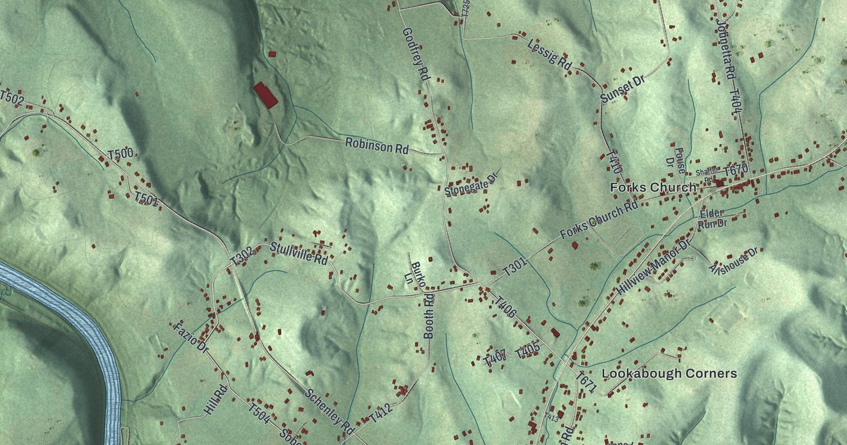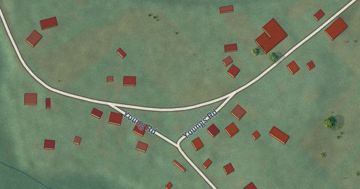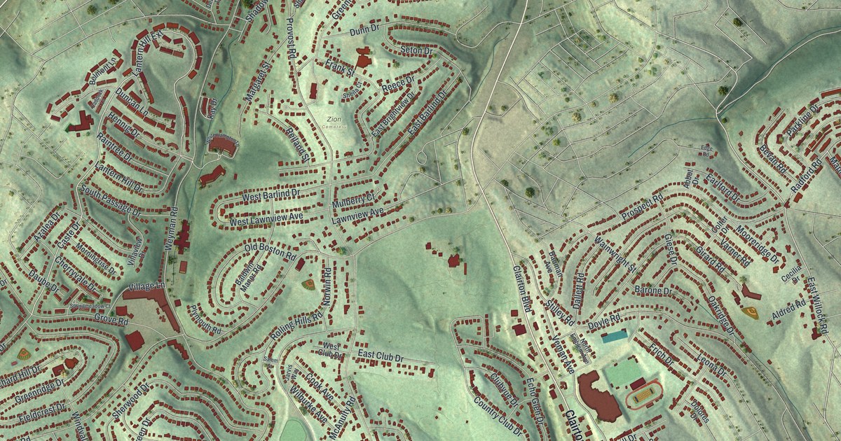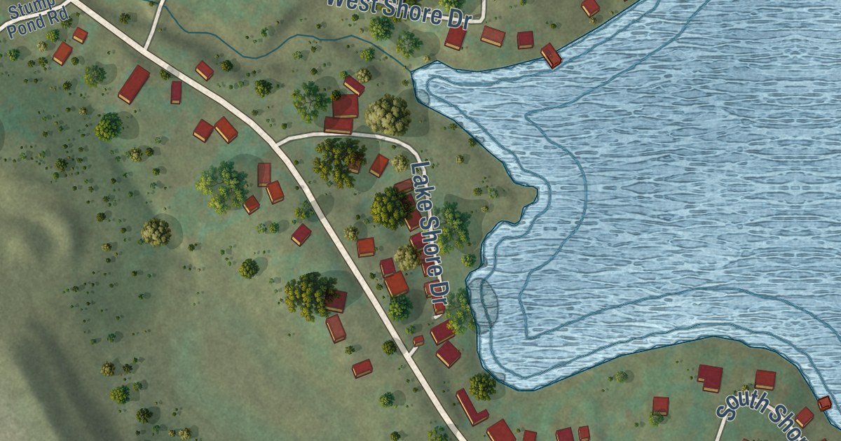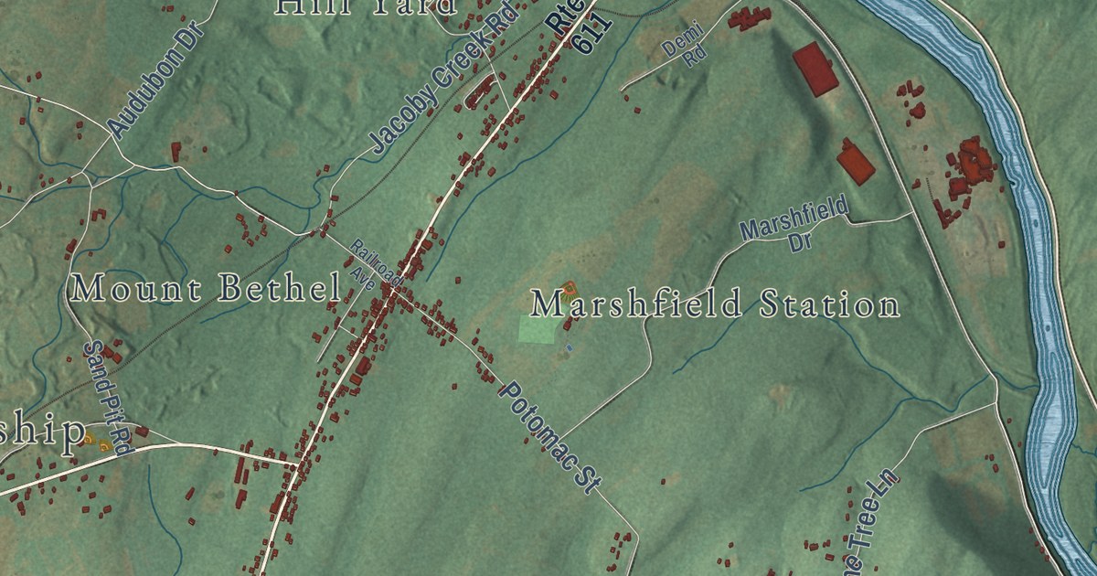
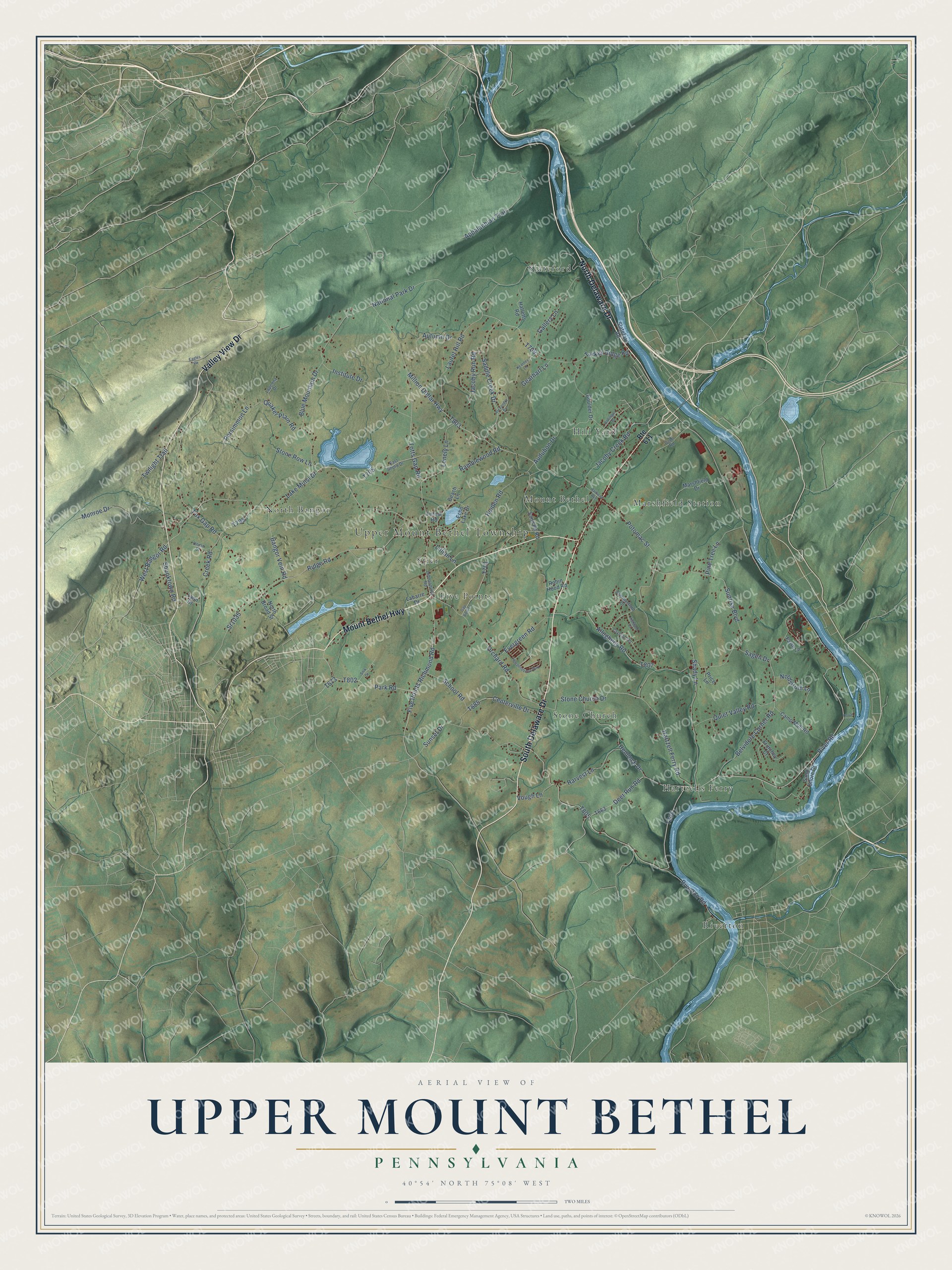
This beautifully detailed map of Upper Mount Bethel, Pennsylvania was created in 2026 using aerial imagery combined with modern topographical, census, street and landmark data. It’s a one-of-a-kind view of Upper Mount Bethel that combines accurate data with a vintage aesthetic. The map shows every building in its true location, many of the roads carry their names, and the shaded topographic relief shows the shape of the land.
Explore an aerial view of Upper Mount Bethel, Pennsylvania
On the map you’ll find Upper Mount Bethel Township, Delaware Water Gap National Recreation Area, Twin Lakes, Five Points, Hartzells Ferry, Hill Yard, Marshfield Station, Mount Bethel, North Bangor, Riverton, Slateford, Stier, and more. If you look closely you can even find your house accurately drawn in its correct location. Zoom in on the preview to look for yours.
Did you know this piece of Upper Mount Bethel, Pennsylvania history?
From the PA Historical and Museum Commission: "One of the first attempts to quarry slate in this country was made here at Slateford by a company chartered in 1808. Some of the quarries and slate factories in this vicinity were operated until 1917."
Take a closer look at the Upper Mount Bethel map
Street and place names on the Upper Mount Bethel, Pennsylvania map
These names are printed on the map of Upper Mount Bethel, Pennsylvania.
Places: Upper Mount Bethel Township, Riverton, Slateford, North Bangor, Stone Church, Marshfield Station, Five Points, Hartzells Ferry, Mount Bethel, Hill Yard and Stier.
Streets and roads: Valley View Drive, Mount Bethel Highway, South Delaware Drive, North Delaware Drive, Lake Minsi Drive, Five Points Richmond Road, River Road, Fox Gap Road, West Bangor Road, Totts Gap Road, Creek Road, Riverton Road.
More street names, A to Z
Alexandra Circle, Allegheny Road, Appalachian Trail, Audubon Drive, Autumn Drive, Bangor Vein Road, Beach Lane, Belvidere Corner Road, Blue Mountain Drive, Bollinger Drive, Boulder Drive, Camp Moll Road, Centerville Drive, Crystal Terrace, Deer Run Road, Demi Road, Eagles Vw, East Shore Drive, Echo Lake Drive, Evergreen Road, Fawn Lane, Forest Road, Frutchey Court, Gallery Lane, Gap View Lane, Gearhart Lane, Halletts Road, Hartzell Ferry Road, Harvest Lane, Heiden Road, Hemlock Drive, Highland Court, Independence Way, Institute Drive, Jacoby Creek Road, Jacoby Run Road, Johnsonville Road, Kearney Lane, Kovar Lane, Labarre Drive, Lapenna Drive, Laurel Hill Road, Lillian Lane, Lonely Lane, Lynn Drive, Marshfield Drive, Million Dollar Highway, Monroe Drive, National Park Drive, Nordstrum Lane, North Broad Street, Orchard Road, Park Road, Persimmon Lane, Pine Tree Lane, Potomac Street, Price Lane, Quaker Plain Road, Quiet Valley Road, Railroad Avenue, Ramblewood Road, Ridge Road, Robin Hood Road, Route 611, Saddle Creek Drive, Sagen Drive, Sand Pit Road, Sandy Shore Drive, School Road, Shady Lane, Shooktown Road, Slateford Road, Snik Drive, Sr1035, Stone Church Drive, Stone Row Lane, Summerfield Drive, Sunrise Boulevard, Sunset Drive, Turkey Ridge Road, Twilight Trail, Union Street, Vough Lane.
See the Upper Mount Bethel, Pennsylvania map on a wall
The Upper Mount Bethel map as an 18 x 24 inch print in a black frame.

This beautifully detailed map of Upper Mount Bethel makes an attractive addition to your office, library, or den, and it can even be used to teach children the geography and history of the area. It also makes a great gift for anyone with Upper Mount Bethel roots. When you’re done exploring, click here to get your copy of the Upper Mount Bethel map.