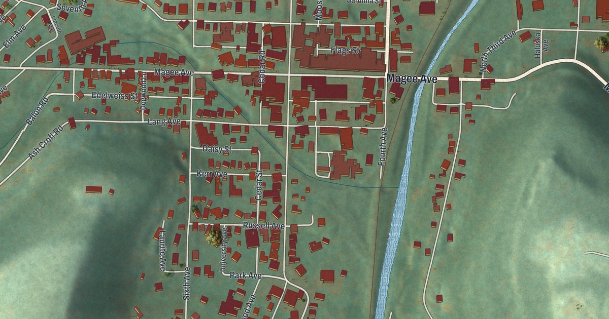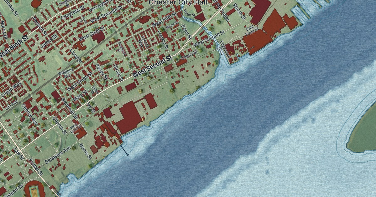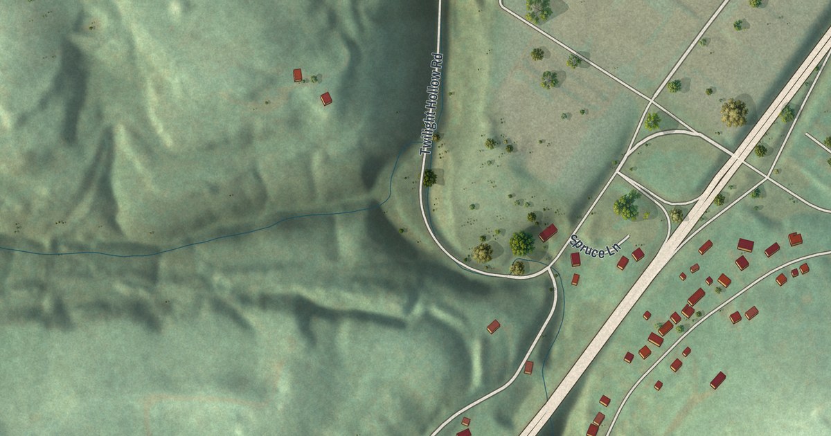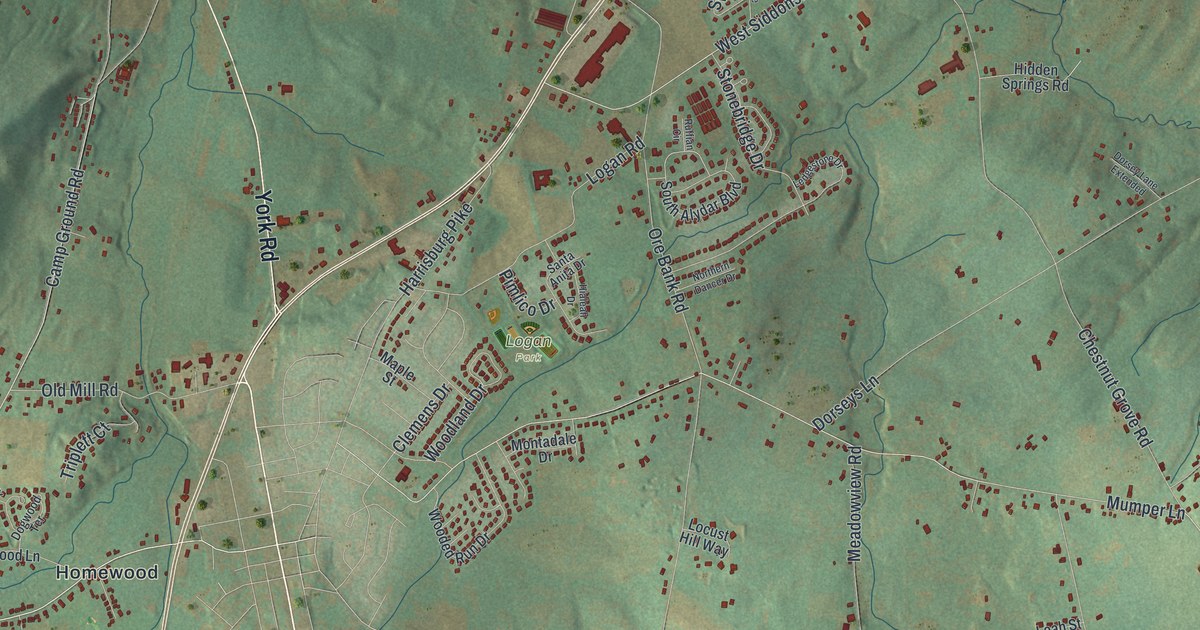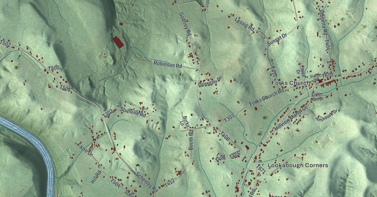
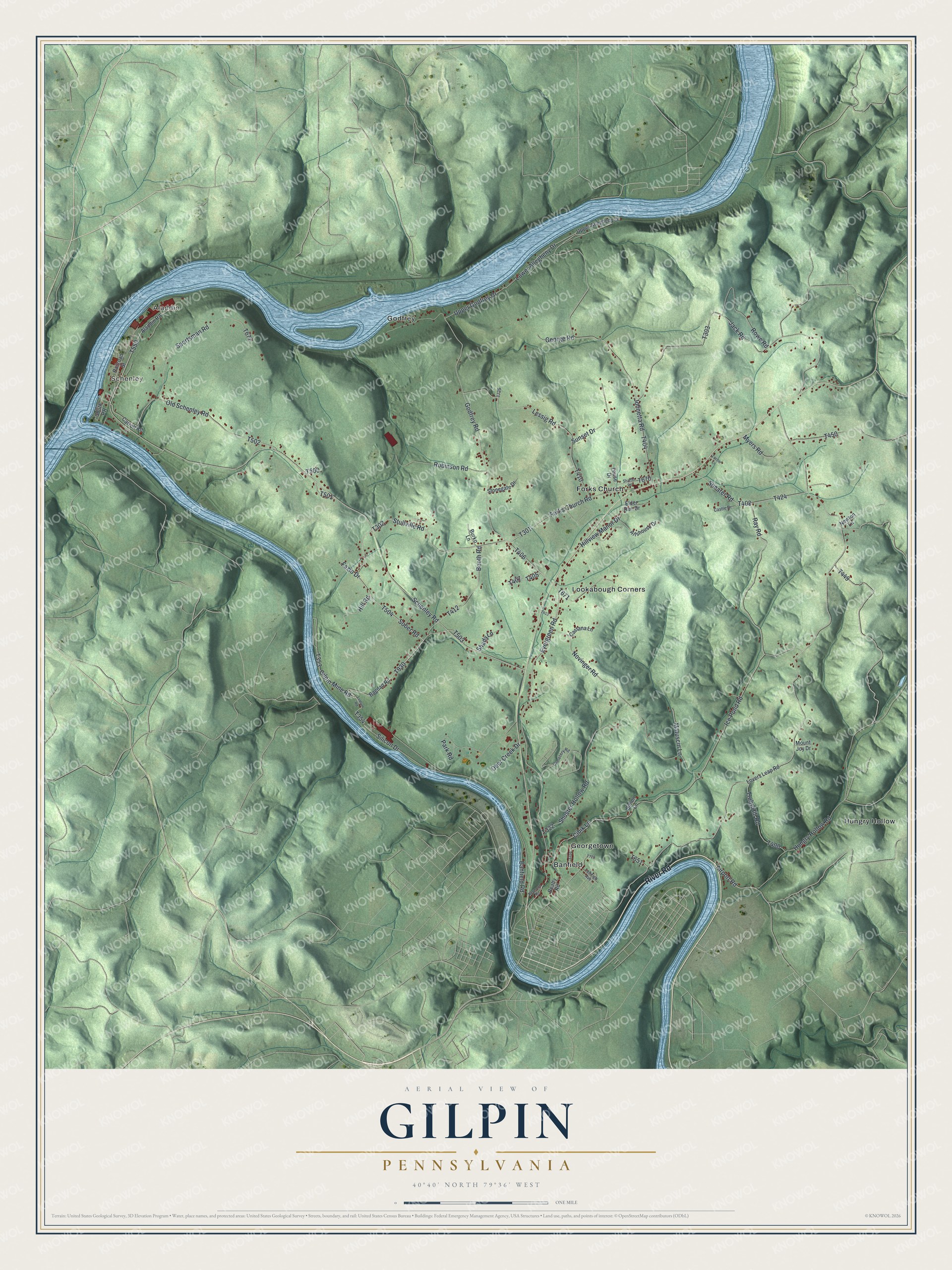
This beautifully detailed map of Gilpin, Pennsylvania was created in 2026 using aerial imagery combined with modern topographical, census, street and landmark data. It’s a one-of-a-kind view of Gilpin that combines accurate data with a vintage aesthetic. The map shows every building in its true location, many of the roads carry their names, and the shaded topographic relief shows the shape of the land.
Explore an aerial view of Gilpin, Pennsylvania
On the map you’ll find Schenley, Aladdin, Banfield, Forks Church, Georgetown, Godfrey, Hungry Hollow, and Lookabough Corners, along with River Road, Godfrey Road, Sober Road, Stullville Road, and more. If you look closely you can even find your house accurately drawn in its correct location. Zoom in on the preview to look for yours.
Did you know this piece of Gilpin, Pennsylvania history?
From Gilpin Township: "The earliest industries of the township were the sawmills of Michael Barrickman and Philip Klingensmith, the former on Elder's run and the latter on the same run, but higher up. The first was built in 1812 and the last in 1817."
Take a closer look at the Gilpin map
Street and place names on the Gilpin, Pennsylvania map
These names are printed on the map of Gilpin, Pennsylvania.
Places: Schenley, Aladdin, Banfield, Forks Church, Georgetown, Godfrey, Hungry Hollow and Lookabough Corners.
Streets and roads: River Road, Godfrey Road, Sober Road, Stullville Road, Evergreen Road, Upper Godfrey Drive, Schenley Road, Lower Allegheny Drive, Ice Pond Road, Silicon Drive, Johnetta Road, Jack Road.
More street names, A to Z
Airport Road, Aladdin Road, Allshouse Drive, Bagdad Road, Banfield Road, Beatty Road, Booth Road, Burko Lane, Carroll Road, Castana Lane, Castle Drive, Cemetery Road, Cibik Lane, Deer Creek Drive, Elder Run Drive, Fazio Drive, Forks Church Road, Fouse Drive, George Road, Gilpin Mine Road, Hill Road, Hillview Manor Drive, Hungry Hollow Road, Leheigh Avenue, Lessig Road, Lovers Leap Road, Ludlum Road, Matuscin Lane, Mount Joy Drive, Myers Road, Newton Lane, Novinger Road, Old Schenley Road, Park Road, Railroad Street, Raymond Road, Ray Road, Robinson Road, Rowe Road, Shady Lane, Shaffer Road, Shearer Road, Shuster Hollow Road, Simon Lane, South RR, Sportsman Road, Stonegate Drive, Sunset Drive, Truby Hill Road, Upper Allegheny Drive, Zachar Lane.
See the Gilpin, Pennsylvania map on a wall
The Gilpin map as an 18 x 24 inch print in a black frame.

This beautifully detailed map of Gilpin makes an attractive addition to your office, library, or den, and it can even be used to teach children the geography and history of the area. It also makes a great gift for someone who left Gilpin and still calls it home. When you’re done exploring, click here to get your copy of the Gilpin map.