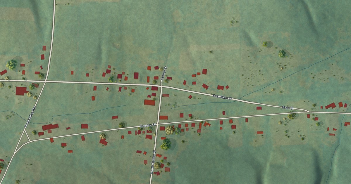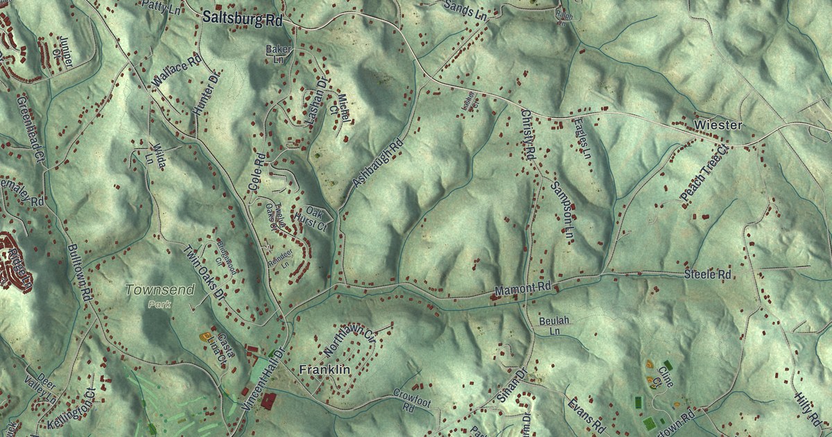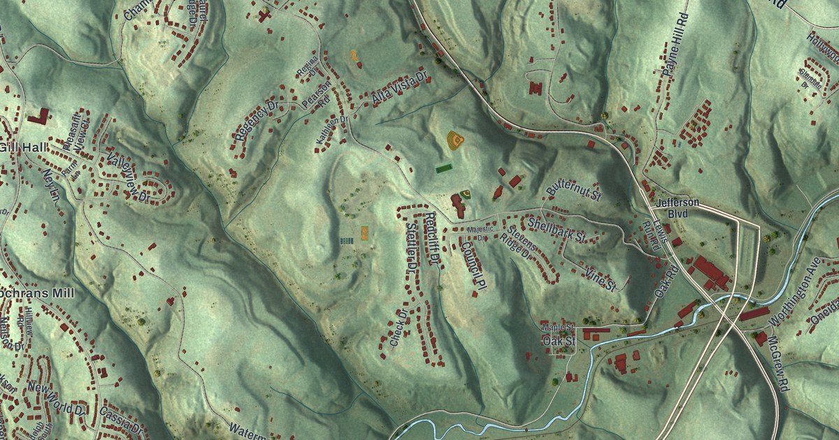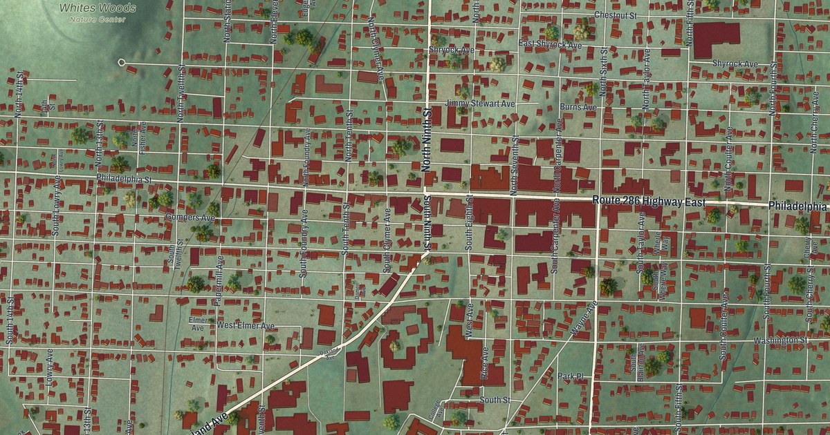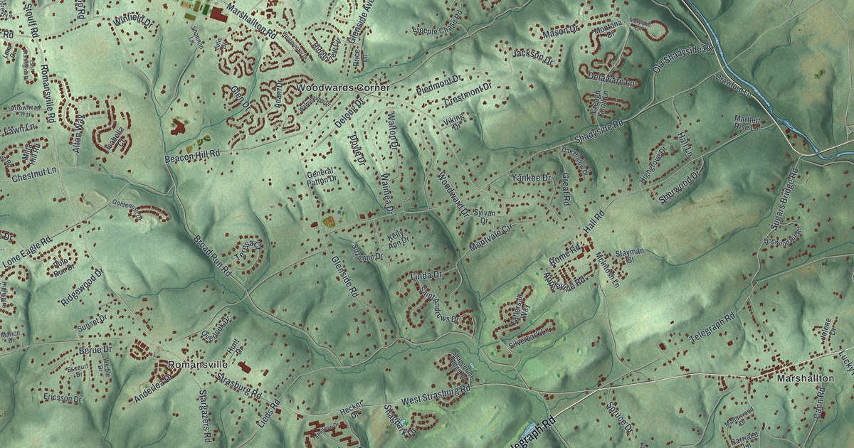
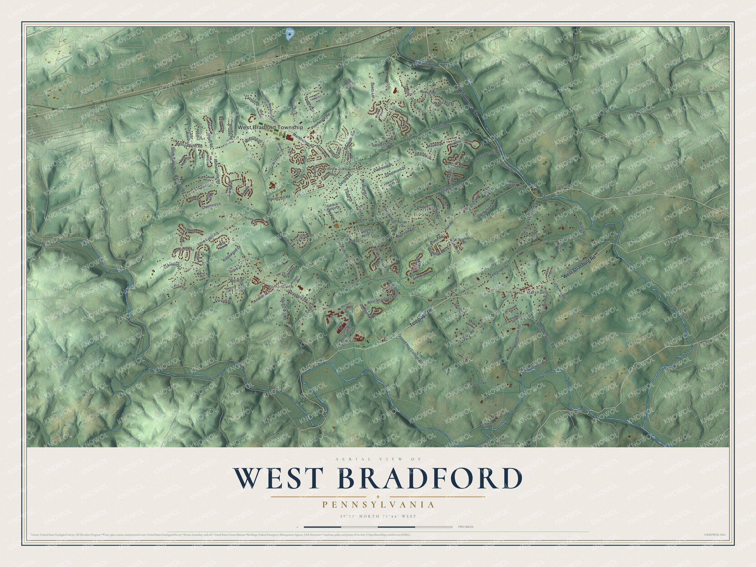
This beautifully detailed map of West Bradford, Pennsylvania was created in 2026 using aerial imagery combined with modern topographical, census, street and landmark data. It's a modern aerial view of West Bradford in Chester County, Pennsylvania, that combines modern data with a vintage aesthetic. The roads feature printed names, and if you look closely you can find your exact house accurately shown in its correct location.
Explore an aerial view of West Bradford, Pennsylvania
On this map you'll find West Bradford Township, Marshallton, Northbrook, Romansville, Woodwards Corner, Telegraph Road, Downingtown Pike, West Strasburg Road, Romansville Road, Strasburg Road, Glen Drive, Broad Run Road, and more. Each red shape is a building, so zoom in on the preview and look for yours.
Here is a piece of West Bradford history, in the words of the record. The PA Historical and Museum Commission puts it this way: "September 11, 1777, while on the march to the Battlefield of Brandywine, the British Army under Howe and Cornwallis crossed the Brandywine at the ford just south of this point."
West Bradford is a place in Chester County. The Census Bureau counted 14,316 people here in 2020.
Take a closer look at the West Bradford map
Names on this map
These names are printed on this map.
Places: West Bradford Township, Marshallton, Northbrook, Romansville and Woodwards Corner.
Streets and roads: Telegraph Road, Downingtown Pike, West Strasburg Road, Romansville Road, Strasburg Road, Glen Drive, Broad Run Road, Marshallton Road, Shadyside Road, Glenside Avenue, Sawmill Road, Northbrook Road.
More street names, A to Z
Adam Drive, Alton Way, Anderlea Drive, Appleville Road, Arrowhead Trail, Bally Moor Drive, Beacon Hill Road, Berue Drive, Bradford Avenue, Brandywine Drive, Brownsville Road, Camp Linden Road, Cann Road, Canyon Drive, Carolina Place, Carriage Lane, Central Drive, Chestnut Lane, Clayton Road, Conley Drive, Cranberry Lane, Crawford Lane, Creagh Knoll Lane, Crestmont Drive, Delaware Lane, Delong Drive, Dogwood Hill Road, Doyle Drive, Eagle Ridge Drive, East Stonington Drive, Elk Run Road, Ericsson Drive, Escourt Drive, Fawn Lane, Federal Drive, Fox Run Drive, Gallagherville Road, General Patton Drive, Glenside Road, Goldenrod Drive, Great Road, Ground Hog College Road, Hall Lane, Hall Road, Hecker Drive, High Country Road, Highgrove Drive, Highspire Road, Hillcrest Lane, Hilltop Road, Hollow Drive, Hunt Drive, Isabella Court, Jackson Drive, Jamestown Drive, Jolene Drive, Julie Drive, Kelly Ann Drive, Lieds Road, Linda Drive, Lone Eagle Road, Lucky Hill Road, Luna Drive, Manorwood Drive, Marion Drive, Martlett Rise Lane, Maryland Circle, Mason Drive, McIntosh Lane, Milta Hill Road, Montana Drive, Montvale Circle, New Virginia Road, North Forest Hills, North Wawaset Road, Oak Hollow Drive, Oakwood Road, Old Shadyside Road, Overlook Drive, Pennsridge Place, Persimmon Drive, Piedmont Drive, Polo Run Drive, Poorhouse Road, Price Lane, Ridgeview Circle, Ridgewood Drive, Rome Road, Romig Road, Ryan Boulevard, Saint Andrews Drive, Scattergood Lane, Seeds Lane, Shadebrush Ridge Road, Shagbark Drive, Shannon Lane, Sherwood Drive, Silverbark Lane, South Bailey Road, Spring Oak Drive, Spruce Drive, Stargazers Road, Stayman Street, Steeple Chase Road, Stockton Road, Stonegate Drive, Stouff Road, Sugars Bridge Road, Sunset Drive, Suzanne Drive, Sylvan Drive, Tattersall Way, Teresa Court, Thorndale Marshallton Road, Towerview Drive, Treeline Drive, Viking Drive, Waimea Drive, Walnut Ridge Drive, Walton Drive, Waltz Road, Warpath Road, Weible Drive, West Chester Road, Westminster Drive, West Sedona Drive, Winfield Drive, Woodward Drive, Yankee Drive.
Created by KNOWOL in 2026. The buildings are small red shapes, the roads carry their printed names, and shaded relief shows the shape of the land. The title panel reads "AERIAL VIEW OF WEST BRADFORD PENNSYLVANIA" with 3, 9, °, 5, 9, ', , N, O, R, T, H, , 7, 5, °, 4, 4, ', , W, E, S, T.
It suits a den, a classroom or a front hall, and it makes a gift for anyone with West Bradford roots. Open the preview and find the block you know. See sizes and frames for the West Bradford map.