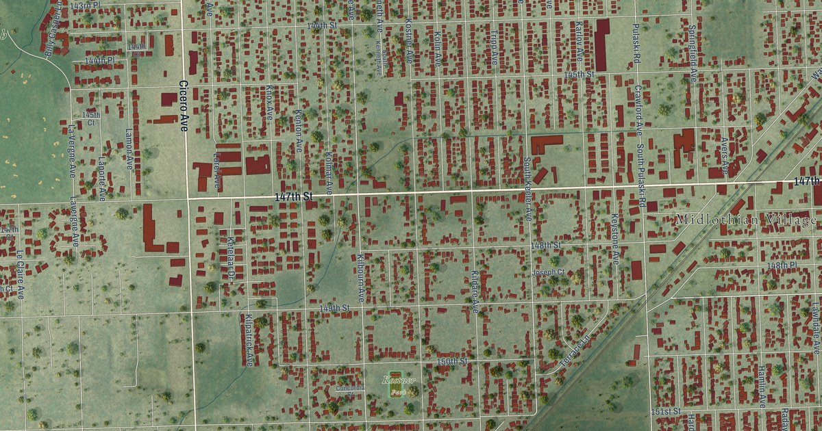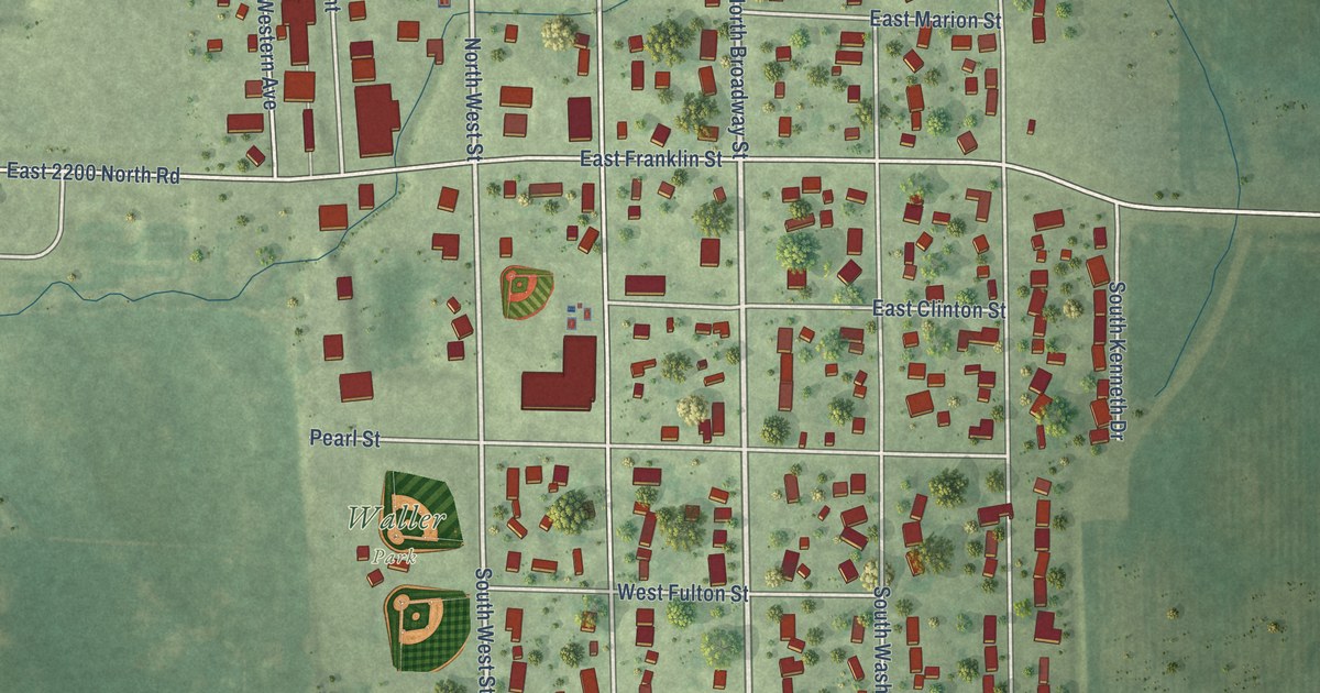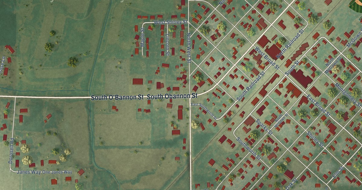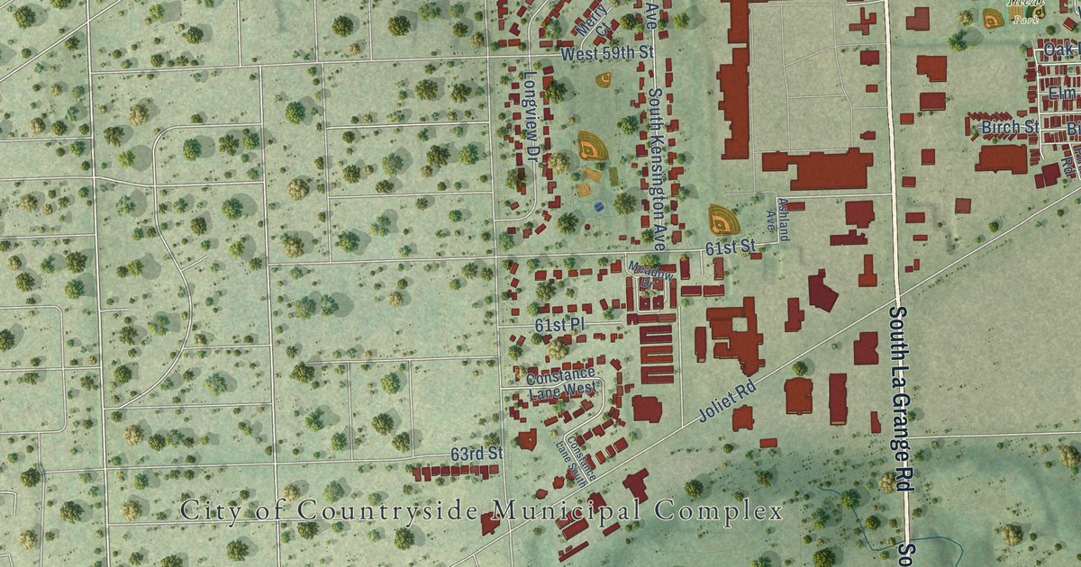
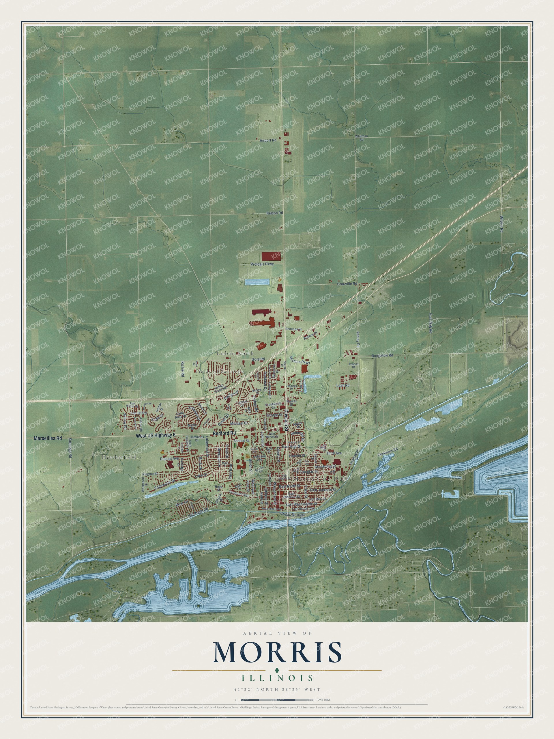
This beautifully detailed map of Morris, Illinois was created in 2026 using aerial imagery combined with modern topographical, census, street and landmark data. It’s a one-of-a-kind view of Morris that combines accurate data with a vintage aesthetic. The map shows every building in its true location, many of the roads carry their names, and the shaded topographic relief shows the shape of the land.
Explore an aerial view of Morris, Illinois
On the map you’ll find Morris City Hall, Fields of Saratoga, Heatherfield, and Lisbon North, along with West US Highway 6, Division Street, Bedford Road, Marseilles Road, Saratoga Road, Calhoun Street, West Avenue, East North Street, and more. If you look closely you can even find your house accurately drawn in its correct location. Zoom in on the preview to look for yours.
Did you know this piece of Morris, Illinois history?
From the Grundy County History: "On the 1st of March, 1854, the charter of the town of Morris was amended by the General Assembly, fixing the time of election on the first Monday in April."
Take a closer look at the Morris map
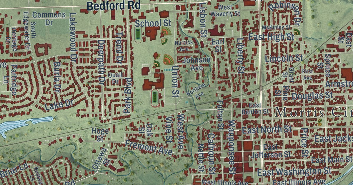
Street and place names on the Morris, Illinois map
These names are printed on the map of Morris, Illinois.
Places: Morris City Hall, Fields of Saratoga, Heatherfield and Lisbon North.
Streets and roads: West US Highway 6, Division Street, Bedford Road, Marseilles Road, East North Street, Calhoun Street, West Avenue, Deerpath Drive, Creek Drive, Saratoga Road, Locust Road, Gore Road.
More street names, A to Z
Airport Road, Anne Lane, Armstrong Street, Ashley Road, Ashton Road, Beyer Road, Black Street, Boulder Drive, Brentwood Drive, Briar Lane, Brisbin Road, Briscoe Drive, Bungalow Road, Burla Drive, Carol Anne Drive, Cemetery Road, Commons Drive, Creek Road, Douglas Street, Dupont Avenue, Eagle Drive, Earl Street, East Benton Street, East High Street, East Illinois Avenue, East Jackson Street, East Jefferson Street, East Main Street, East Street, East Washington Street, Edgewater Drive, Erin Lane, First Avenue, Fremont Avenue, Fulton Street, George Street, Grant Street, Granville Road, Griggs Drive, Griggs Street, Gun Club Road, Harbor Drive, Heritage Drive, Hoge Street, Hoover Street, Indian Grass Road, Jana Lane, Jennings Drive, Johnson Avenue, Kingtree Drive, Lake Drive, Lakeside Lane, Lakewood Drive, Leah Road, Liberty Street, Lincoln Street, Lisbon Road, Lisbon Street, Lynwood Drive, Lynwood Street, Maple Drive, McKinley Street, Michael Drive, Mission Parkway, Mollie Drive, Mountain Road, Narvick Avenue, Nelson Road, Nettle Street, Northern Avenue, Oakland Circle, Oak Street, Old Stage Road, Ottawa Street, Park Boulevard, Parklake Drive, Partridge Lane, Periwinkle Drive, Pine Street, Price Street, Prologis Parkway, Quail Drive, Redbud Lane, Red Willow Road, Richie Road, Roberts Road, Robinson Drive, Romines Drive, School Street, Schubert Drive, Sharon Drive, South Edgewater Drive, Spruce Street, Sycamore Drive, Third Avenue, Thomas Drive, Trend Drive, Twilight Drive, Union Street, Vine Street, Wall Street, Washington Street, Wauponsee Street, West Illinois Avenue, West Waverly Street, Westwood Drive, Whitman Road, Willow Road.
See the Morris, Illinois map on a wall
The Morris map as an 18 x 24 inch print in a black frame.

This beautifully detailed map of Morris makes an attractive addition to your office, library, or den, and it can even be used to teach children the geography and history of the area. It also makes a great gift for anyone with Morris roots. When you’re done exploring, click here to get your copy of the Morris map.