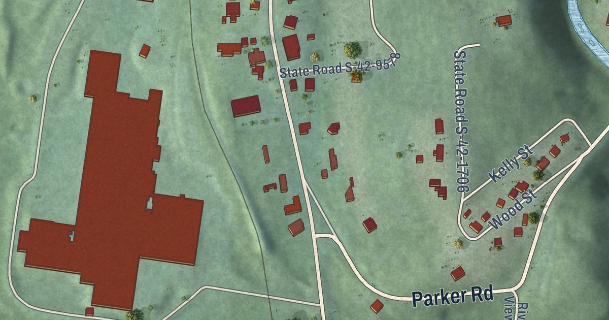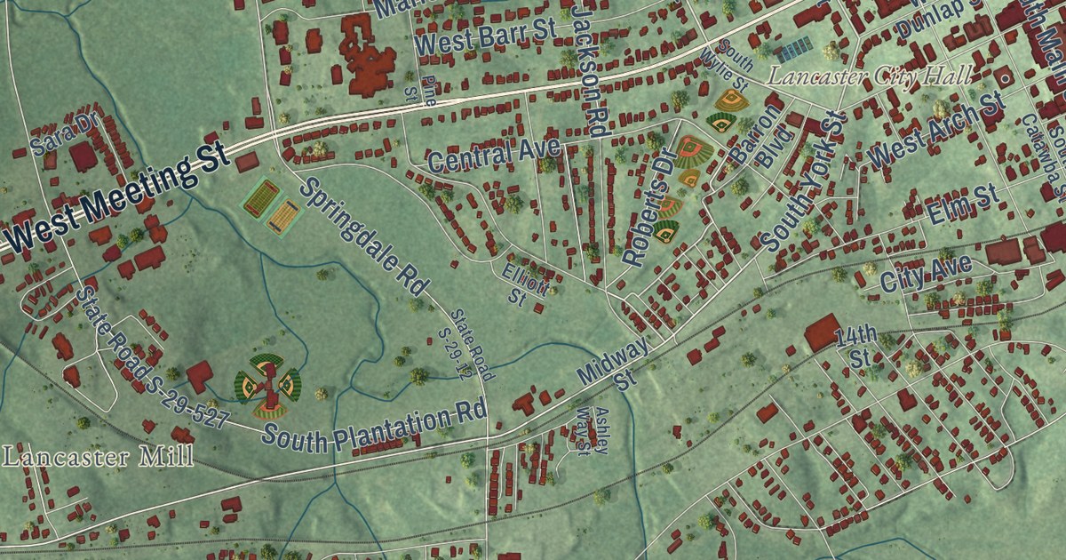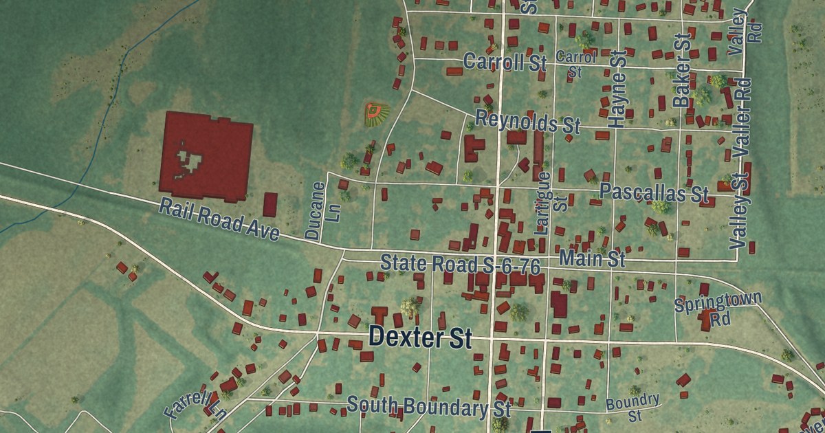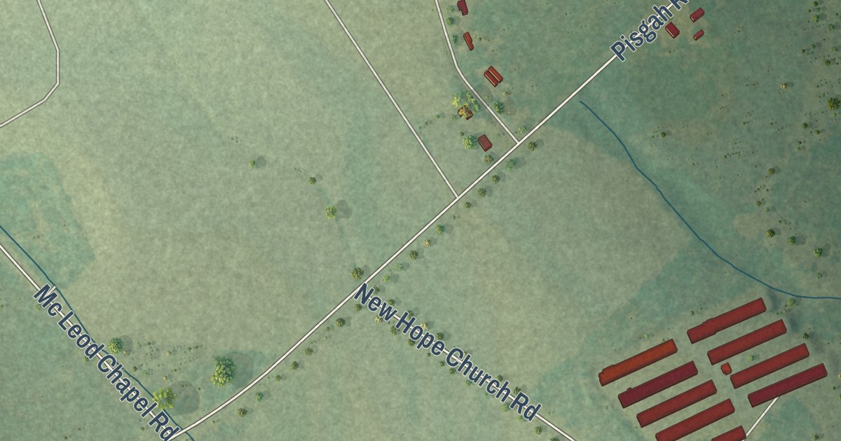
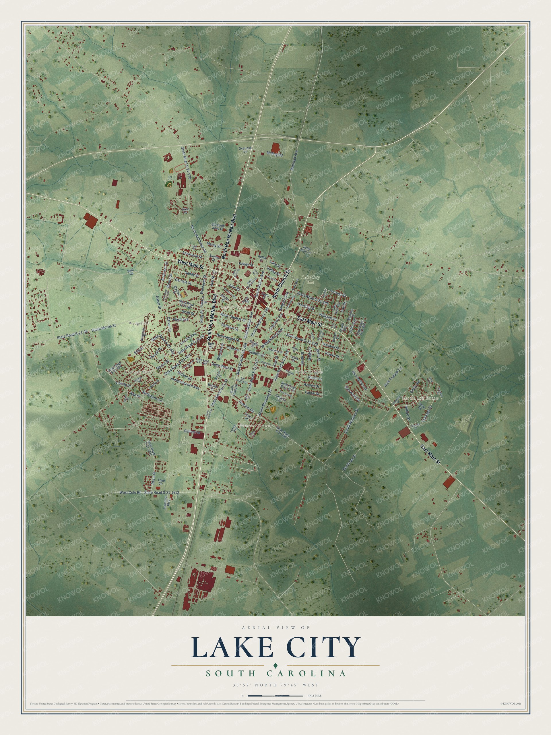
This beautifully detailed map of Lake City, South Carolina was created in 2026 using aerial imagery combined with modern topographical, census, street and landmark data. It’s a one-of-a-kind view of Lake City that combines accurate data with a vintage aesthetic. The map shows every building in its true location, many of the roads carry their names, and the shaded topographic relief shows the shape of the land.
Explore an aerial view of Lake City, South Carolina
On the map you’ll find Martha Law Estates, Kennedy Park, Palmetto Estates, Lake City Park, Kelley Heights, and Wedgefield, along with East Main Street, West Main Street, North Church Street, South Ron McNair Boulevard, North Ron McNair Boulevard, Forrest Street, and more. If you look closely you can even find your house accurately drawn in its correct location. Zoom in on the preview to look for yours.
Did you know this piece of Lake City, South Carolina history?
From Scencyclopedia.org: "In 1856 the North Eastern Railroad began construction on its main line through the area, and in 1874 the town of Graham was incorporated around one of the railroad’s new depots."
Take a closer look at the Lake City map
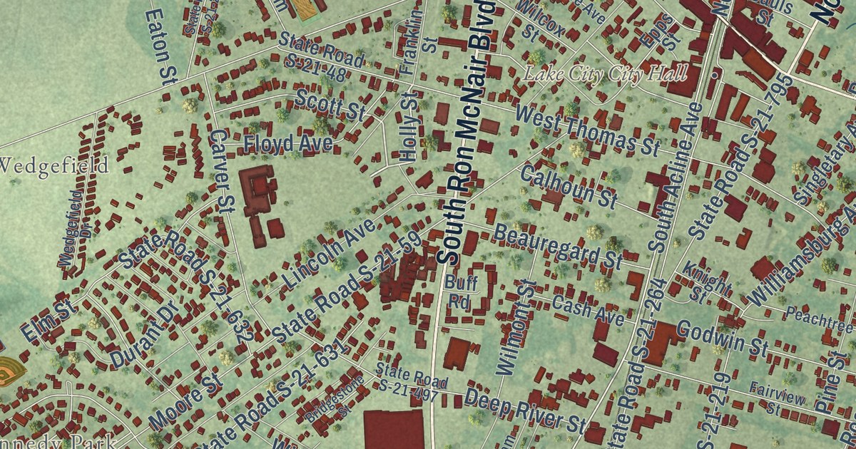
Street and place names on the Lake City, South Carolina map
These names are printed on the map of Lake City, South Carolina.
Places: Lake City City Hall, Martha Law Estates, Kennedy Park, Palmetto Estates, Lake City Park, Kelley Heights and Wedgefield.
Streets and roads: North Church Street, South Ron McNair Boulevard, East Main Street, West Main Street, North Ron McNair Boulevard, Forrest Street, Kelley Street, State Road S-21-32, Holly Street, Anderson Street, South Acline Avenue, Emily Road.
More street names, A to Z
Alane Street, Allen Road, Azalea Drive, Beauregard Street, Belk Road, Benton Street, Betty Blue Lane, Betty Street, Bill Clinton Street, Bowen Street, Brantley Street, Bridgestone Street, Brown Street, Buff Road, Calhoun Street, Camelia Lane, Carlisle Street, Carolina Avenue, Carver Street, Cash Avenue, Cedar Street, Cemetery Road, Charles Street, Clifton Road, Dansing Street, Davis Street, Deep River Street, Dixie Road, Durant Drive, Eaton Street, Elizabeth Anne Court, Elm Street, Epps Street, Everette Drive, Fairview Street, Fifth Avenue, Florence Avenue, Floyd Avenue, Fourth Avenue, Franklin Street, Gaddy Street, Garland Street, Gary Lane, Godwin Street, Graham Road, Hilbert Street, Independence Avenue, Industrial Boulevard, Jack Truluck Lane, Joel Street, John Street, Knight Street, Lake Dale Avenue, Lake Street, Lance Avenue, Lassie Street, Laurel Street, Lawrence Street, Liberty Drive, Lincoln Avenue, London Avenue, Lyerly Street, McClam Street, McGregor Circle, Mercy Street, Milling Road, Moore Street, Morning Glory Drive, Nesmith Street, North Acline Avenue, North Matthews Road, North McAlister Street, North Morris Street, Oak Street, Opal Street, Overlook Lane, Palm Circle, Park Avenue, Peachtree Street, Peter Street, Phillips Street, Pine Street, Rae Street, Railroad Avenue, Retha Drive, Rivers Street, Robin Street, Rodgers Avenue, Rosewood Drive, Rupert Street, Sauls Street, Scott Street, Sherwood Street, Singletary Avenue, Smith Street, South Acline Street, South Blanding Street, South Church Street, South Ida Street, South Morris Street, South Wallace Street, Stadium Street, State Road S-21-36, State Road S-21-48, State Road S-21-59, State Road S-21-156, State Road S-21-219, State Road S-21-220, State Road S-21-258, State Road S-21-264, State Road S-21-278, State Road S-21-283, State Road S-21-289, State Road S-21-497, State Road S-21-631, State Road S-21-632, State Road S-21-795, State Road S-21-807, State Road S-21-814, State Road S-21-926, State Road S-21-1174, State Road S-21-1321, State Road S-21-1413, Stewart Street, Sumter Street, Talmadge Drive, Talmage Drive, Tart Street, Third Avenue, Todd Circle, Valley Street, Wedgefield Drive, Wells Street, West Cole Road, Westover Street, West Thomas Street, Wilcox Street, Williamsburg Avenue, Williams Street, Wilmont Street, Wilson Street, Winkys Drive.
See the Lake City, South Carolina map on a wall
The Lake City map as an 18 x 24 inch print in a black frame.

This beautifully detailed map of Lake City makes an attractive addition to your office, library, or den, and it can even be used to teach children the geography and history of the area. It also makes a great gift for someone who left Lake City and still calls it home. When you’re done exploring, click here to get your copy of the Lake City map.