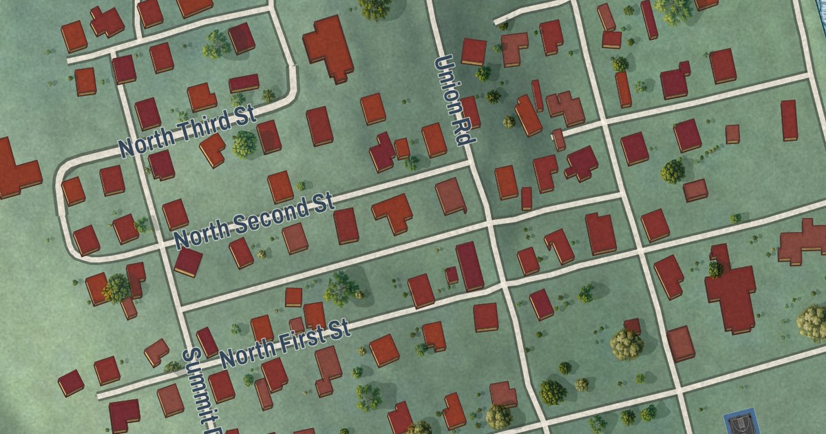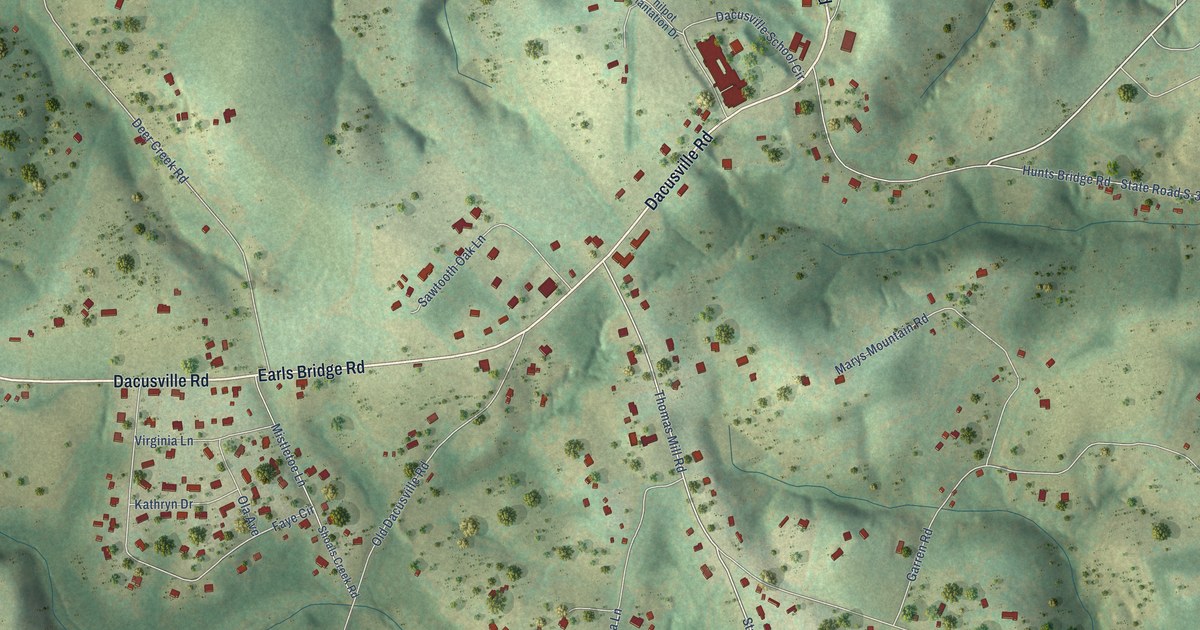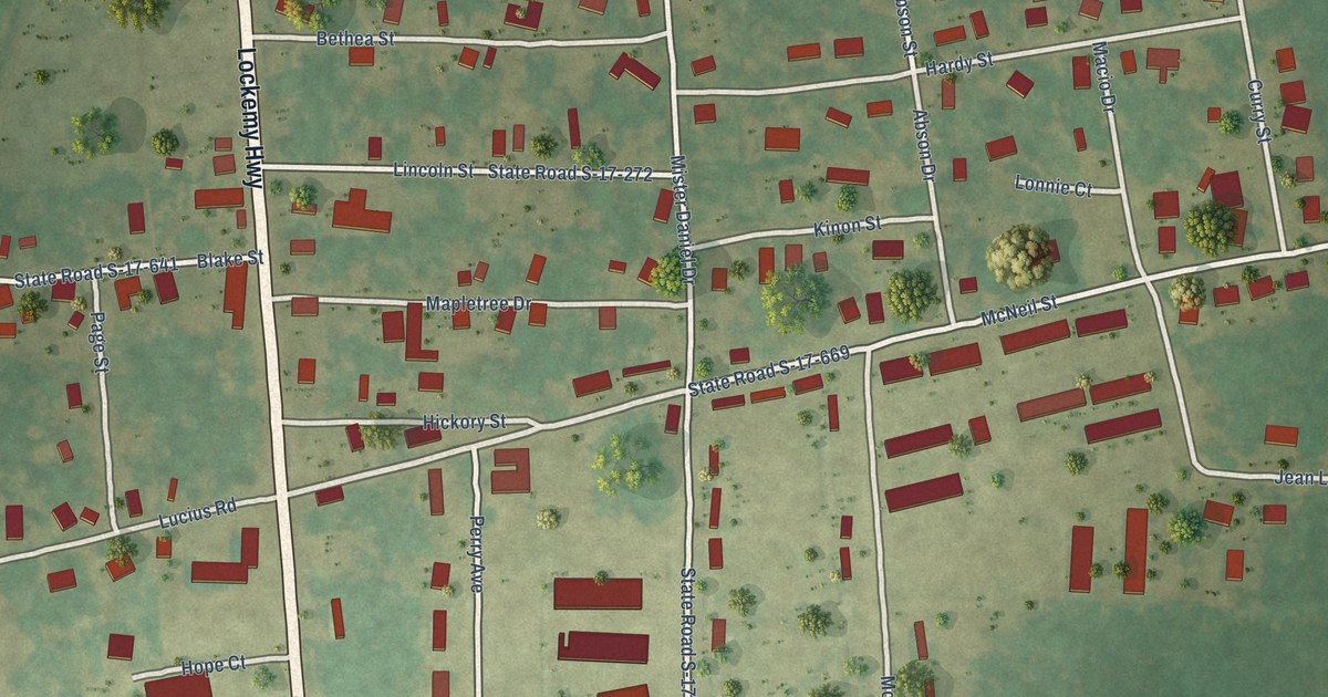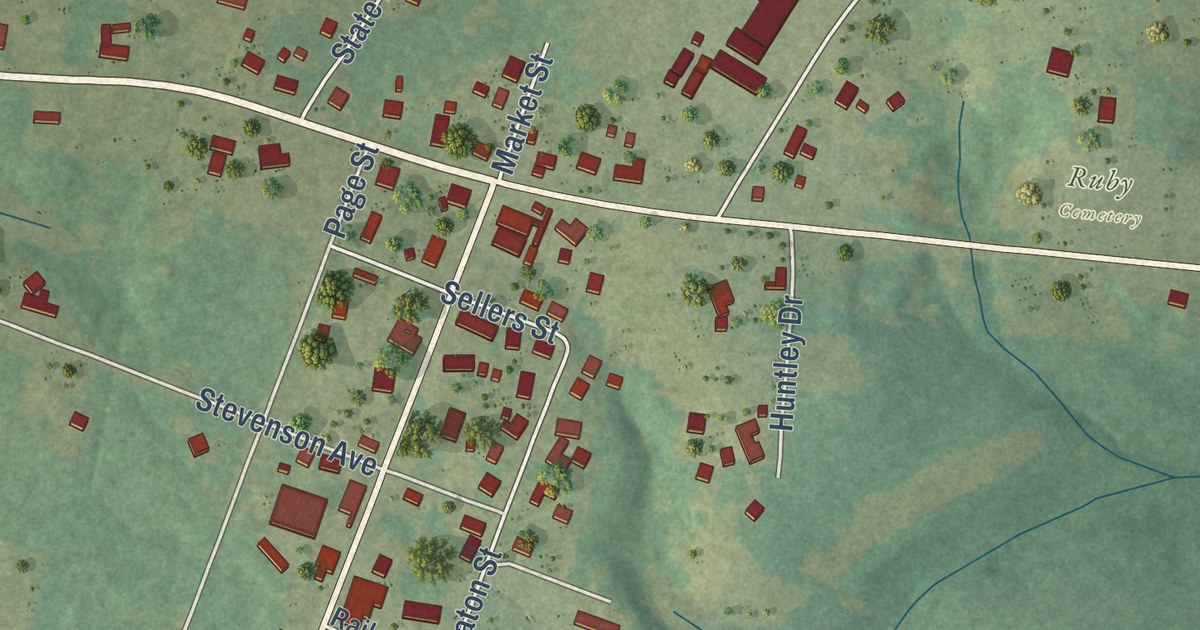
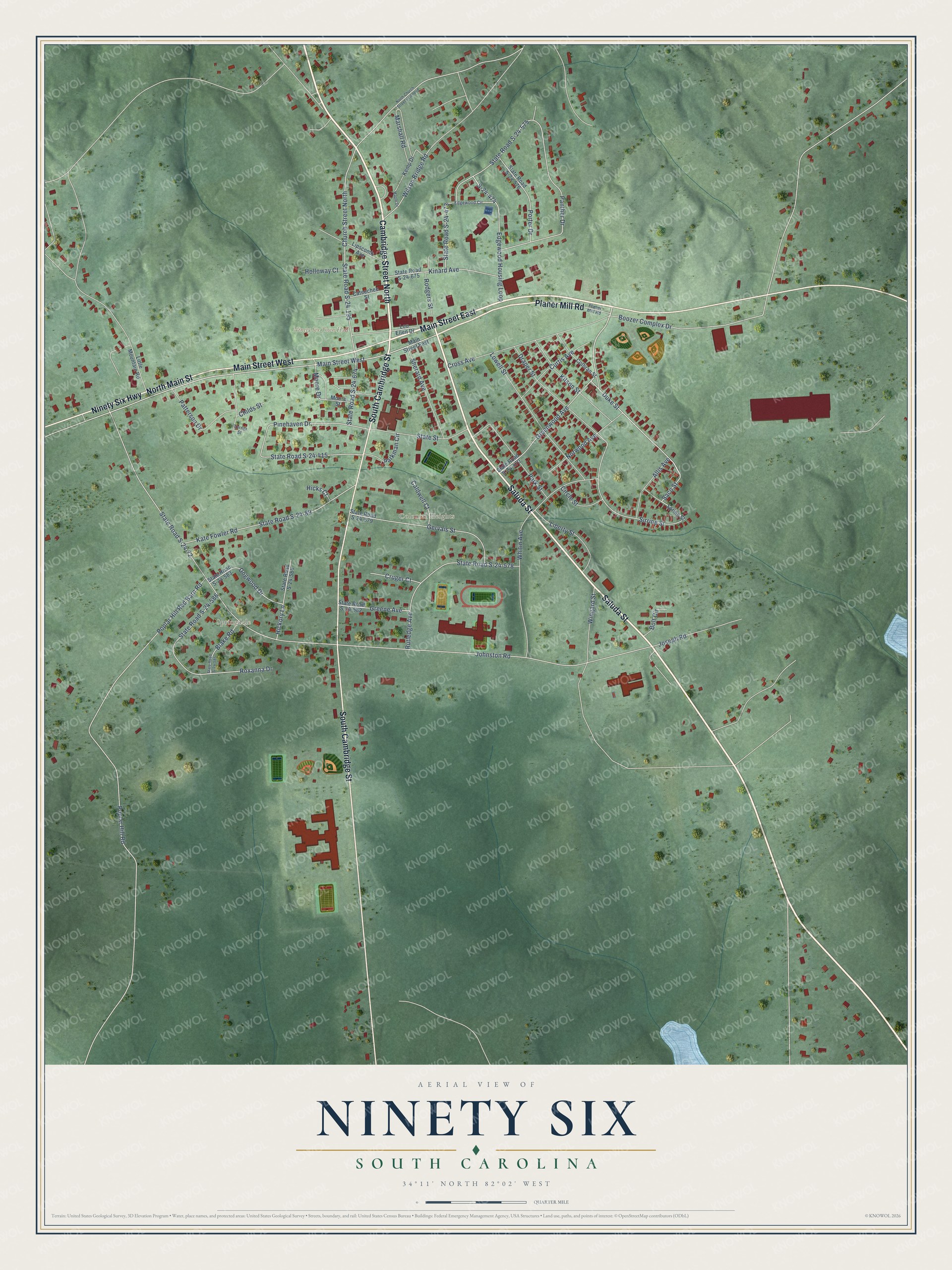
This beautifully detailed map of Ninety Six, South Carolina was created in 2026 using aerial imagery combined with modern topographical, census, street and landmark data. It’s a one-of-a-kind view of Ninety Six that combines accurate data with a vintage aesthetic. The map shows every building in its true location, many of the roads carry their names, and the shaded topographic relief shows the shape of the land.
Explore an aerial view of Ninety Six, South Carolina
On the map you’ll find Ninety Six Town Hall, Springdale, Colonial Heights, and Ninety Six Wildcats Multiplex, along with Main Street East, Cambridge Street North, Saluda Street, Planer Mill Road, Ninety Six Highway, South Cambridge Street, Main Street West, North Main Street, and more. If you look closely you can even find your house accurately drawn in its correct location. Zoom in on the preview to look for yours.
Did you know this piece of Ninety Six, South Carolina history?
From Scencyclopedia.org: "Several years later, in 1781, General Nathanael Greene led Continental and militia units in a lengthy but unsuccessful siege of a British outpost at Ninety Six."
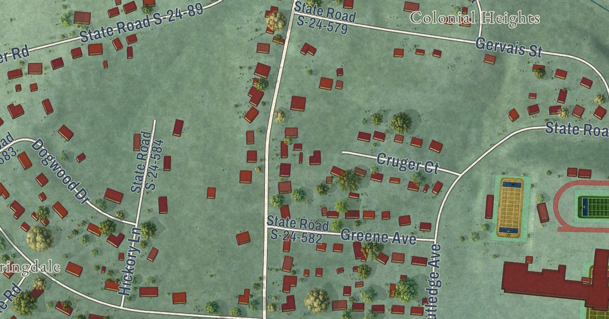
Take a closer look at the Ninety Six map
Street and place names on the Ninety Six, South Carolina map
These names are printed on the map of Ninety Six, South Carolina.
Places: Ninety Six Town Hall, Springdale and Colonial Heights.
Streets and roads: Cambridge Street North, Main Street East, Saluda Street, Planer Mill Road, Ninety Six Highway, South Cambridge Street, Main Street West, North Main Street, Duke Street, Saco Street, Sirrine Street, Greenwood Avenue.
More street names, A to Z
Allis Avenue, Blake Road, Bolt Circle, Boozer Complex Drive, Caldwell Court, Cateechee Street, Childs Street, Church Street North, Circle Street, Cothran Street, Cross Avenue, Cruger Court, Curtis Avenue, Dogwood Drive, Draper Street, Edgewood Circle, Edgewood Housing Loop, Gervais Street, Greene Avenue, Hickory Lane, Hicks Court, Holloway Court, Johnston Road, Joseph Road, Kate Fowler Road, Kemp Drive, Kinard Avenue, Kitson Street, Liberty Street, Lipscomb Avenue, Little Mountain Road, Lou Ellen Drive, Lowell Street, Maple Drive, Marshall Road, Moore Drive, Moore Street, North Church Street Extended, Norwood Avenue, Panther Drive, Parkman Circle, Park Street, Patterson Drive, Pinehaven Drive, Poplar Hill Red Barn Road, Poplar Hill Road, Porter Drive, Rodgers Street, Roxanna Drive, Rutledge Avenue, S-24-474, Sherard Avenue, Spring Street, State Road S-24-72, State Road S-24-89, State Road S-24-195, State Road S-24-415, State Road S-24-470, State Road S-24-473, State Road S-24-575, State Road S-24-576, State Road S-24-578, State Road S-24-579, State Road S-24-582, State Road S-24-583, State Road S-24-584, State Road S-24-585, State Road S-24-586, State Road S-24-674, State Road S-24-675, State Street, Turner Street, Whitin Avenue, Wilson Bridge Road, Wingard Street.
See the Ninety Six, South Carolina map on a wall
The Ninety Six map as an 18 x 24 inch print in a black frame.

This beautifully detailed map of Ninety Six makes an attractive addition to your office, library, or den, and it can even be used to teach children the geography and history of the area. It also makes a great gift for anyone with Ninety Six roots. When you’re done exploring, click here to get your copy of the Ninety Six map.