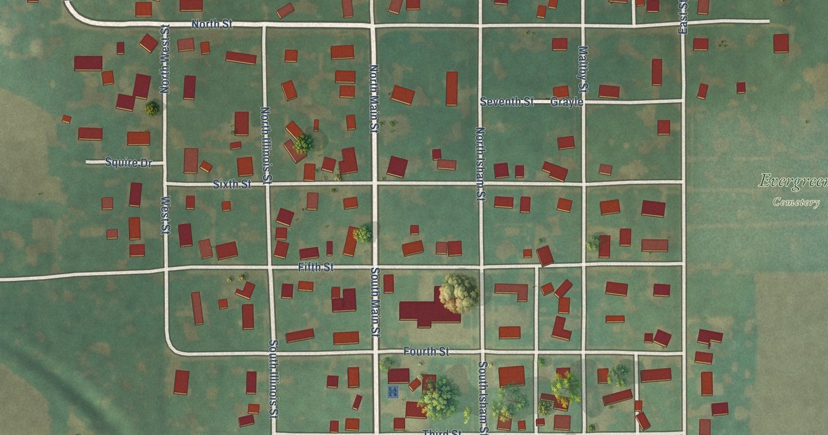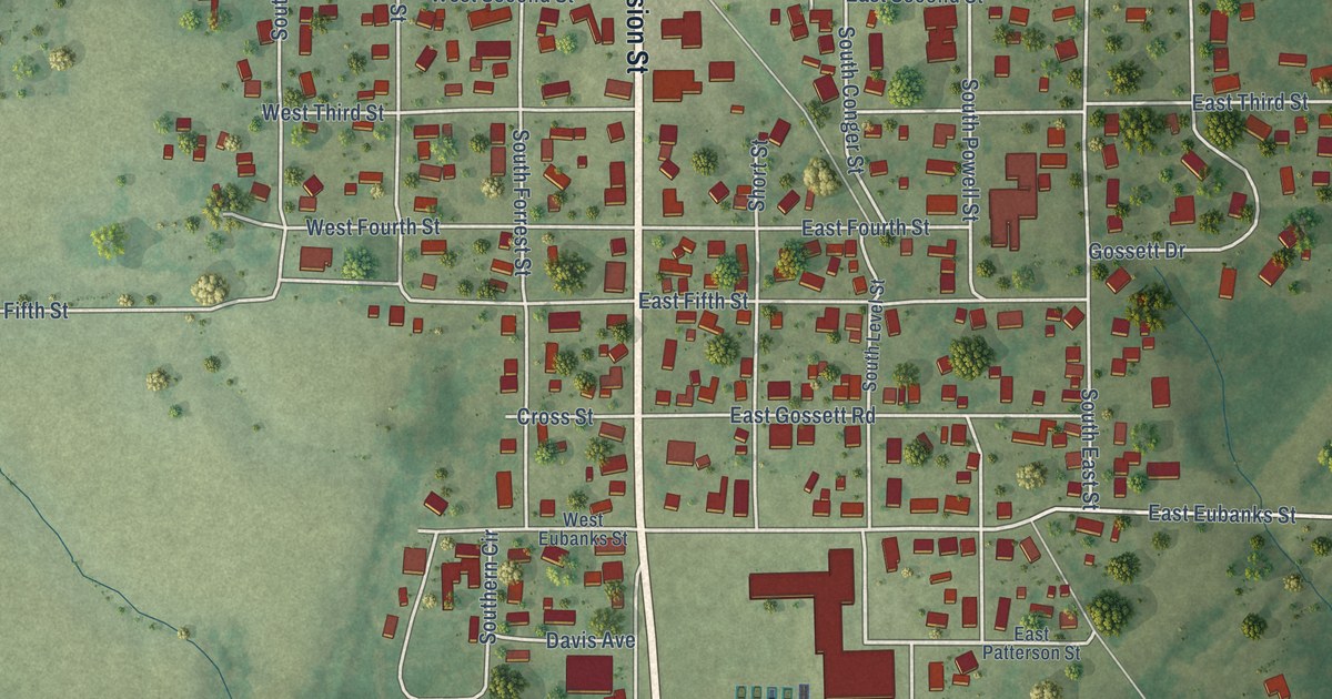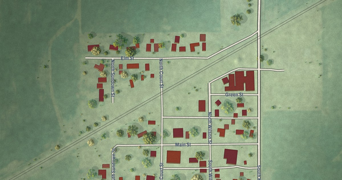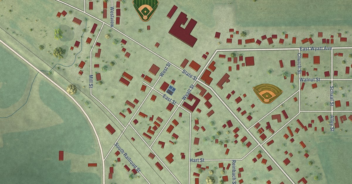
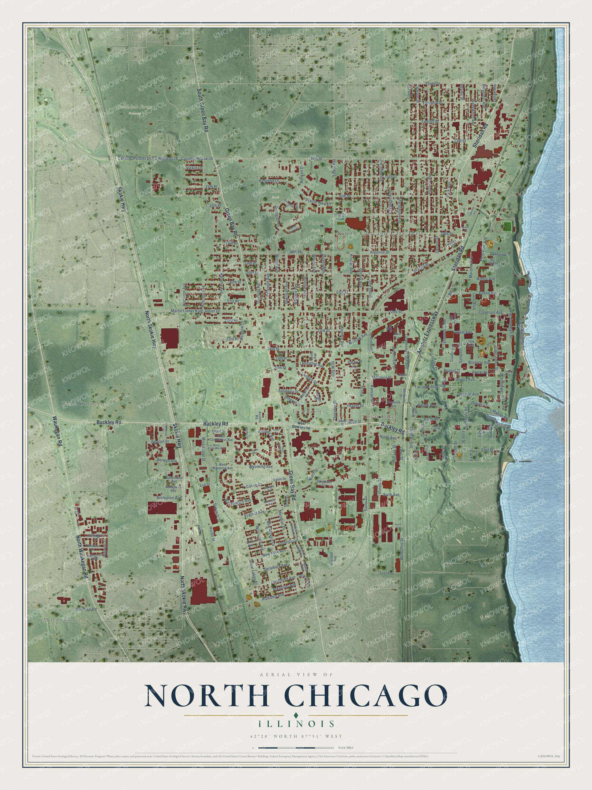
This beautifully detailed map of North Chicago, Illinois was created in 2026 using aerial imagery combined with modern topographical, census, street and landmark data. It’s a one-of-a-kind view of North Chicago that combines accurate data with a vintage aesthetic. The map shows every building in its true location, many of the roads carry their names, and the shaded topographic relief shows the shape of the land.
Explore an aerial view of North Chicago, Illinois
On the map you’ll find North Chicago City Hall, Moran Corners, Five Points, Coles Park, Greenbelt Forest Preserve, Guardian Park, Ross Field, Vision Park, Great Lakes, Wells Corners, and Foss Park Golf Course, along with Buckley Road, and more. If you look closely you can even find your house accurately drawn in its correct location. Zoom in on the preview to look for yours.
Did you know this piece of North Chicago, Illinois history?
From the Historical Encyclopedia of Illinois: "NORTH CHICAGO, a city of Lake County (incorporated 1909) on C. & N. W. R. R., 33 miles north of Chicago; has a bank, steel and wireworks and one weekly paper."
Take a closer look at the North Chicago map
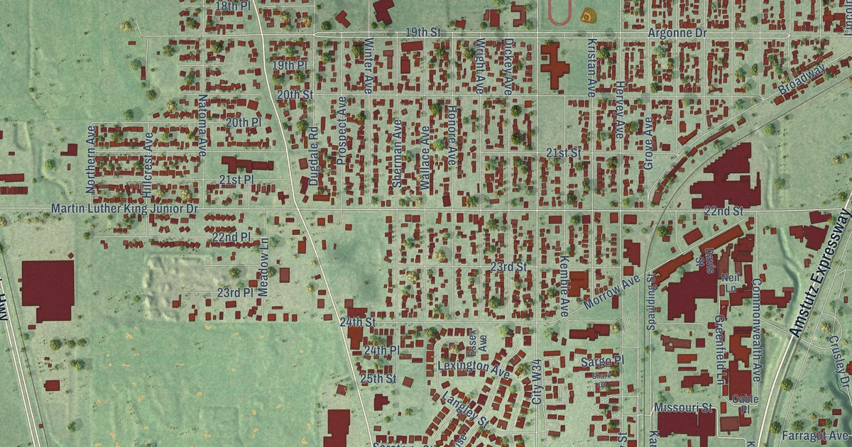
Street and place names on the North Chicago, Illinois map
These names are printed on the map of North Chicago, Illinois.
Places: North Chicago City Hall, Moran Corners, Five Points, Coles Park, Greenbelt Forest Preserve, Guardian Park, Ross Field, Vision Park, Great Lakes, Wells Corners and Foss Park Golf Course.
Streets and roads: Buckley Road, Amstutz Expressway, Sheridan Road, North Skokie Highway, Skokie Highway, Green Bay Road, North Waukegan Road, South Green Bay Road, Waukegan Road, Yeager Drive, Missouri Street, Martin Luther King Junior Drive.
More street names, A to Z
13th Street, 14th Street, 15th Place, 15th Street, 16th Place, 16th Street, 17th Street, 18th Place, 18th Street, 19th Place, 19th Street, 20th Place, 20th Street, 21st Place, 21st Street, 22nd Place, 22nd Street, 23rd Place, 23rd Street, 24th Place, 24th Street, 25th Street, Access Road, Adams Street, Alabama Avenue, Argonne Drive, Arizona Avenue, Arkansas Avenue, Arrington Court, Arrington Drive, Atkinson Road, Atlantic Road, Atuie Street, Atule Street, Barrett Court, Barry Place, Barry Road, Beacon Street, Berwyn Avenue, Bittersweet Avenue, Bonaparte Avenue, Broadway, Brompton Avenue, Bronson Avenue, Cable Place, California Avenue, Calvin Drive, Casimer Pulaski Drive, Casimir Pulaski Drive, Cavin Drive, City W34, Clark Avenue, Cluverius Avenue, Commonwealth Avenue, County Highway 78, Craven Avenue, Crusley Drive, Davis Street, Decatur Avenue, Delaware Avenue, Depot Drive, Dewey Avenue, Dickey Avenue, Downes Drive, Dugdale Road, East Street, Eighth Street, Eleventh Avenue, Eleventh Street, Elizabeth Avenue, Enterprise Avenue, Erie Court, Essex Avenue, Evans Avenue, Farragut Avenue, Fellows Place, Fifth Street, First Avenue, First Street, Florida Avenue, Forrestal Drive, Foss Park Avenue, Fourth Avenue, Fourth Street, Frontenac Street, Fullam Avenue, Georgia Avenue, Glendell Avenue, Glenn Drive, Grant Place, Grassie Avenue, Great Lakes Drive, Greenfield Avenue, Greenfield Lane, Grove Avenue, Hampton Boulevard, Hawaii Avenue, Hemstead Street, Hervey Avenue, Hillcrest Avenue, Hines Street, Honore Avenue, Huntington Street, Huron Street, Idaho Street, Illinois Street, Indiana Street, Intrepid Street, Isherwood Avenue, Jackson Street, Kansas Street, Kemble Avenue, Kennedy Drive, Kentucky Avenue, Kentucky Street, Kristan Avenue, Lakeside Avenue, Lakeview, Langley Street, Lawrence Street, Lenox Avenue, Lewis Avenue, Lexington Avenue, Lincoln Street, Luce Boulevard, Mac Donough Street, Mahan Road, Main Street, Marion Graves Court, Marquette Street, McAlister Avenue, Meadow Lane, Meridian Drive, Mississippi Street, Morrow Avenue, Natoma Avenue, Neil Lane, New Mexico Drive, New York Avenue, Neyer Circle, Nimitz Avenue, Ninth Avenue, Ninth Street, North Admiral Drive, Northern Avenue, North Street, Ohio Avenue, Ohio Street, Pacific Road, Park Avenue, Paul Jones Street, Perry Street, Porter Avenue, Porter Street, Prairie View Court, Preble Avenue, Preble Place, Prospect Avenue, Ranger Court, Ray Street, Renken Drive, Rodgers Street, Rogers Street, Sailor Drive, Sampson Road, Sampson Street, Saratoga Street, Sargo Place, Second Street, Seventh Street, Seymour Avenue, Shark Court, Sherman Avenue, Sixth Avenue, Sixth Street, South Admiral Drive, South Harbor Road, Spaulding Street, Stratford Court, Superior Street, Tenth Street, Texas Court, Third Street, Thresher Street, Twelfth Street, University Circle, Vickie Lane, Victoria Avenue, Virginia Avenue, Wadsworth Avenue, Wallace Avenue, Washington Avenue, Welwyn Street, West Colorado Avenue, West Conneticut Avenue, West Downey Road, West Montana Avenue, West Ohio Street, West Wyoming Avenue, Winter Avenue, Wisconsin Avenue, Wright Avenue, Wyoming Avenue, Ziegemiexer Street.
See the North Chicago, Illinois map on a wall
The North Chicago map as an 18 x 24 inch print in a black frame.

This beautifully detailed map of North Chicago makes an attractive addition to your office, library, or den, and it can even be used to teach children the geography and history of the area. It also makes a great gift for someone who left North Chicago and still calls it home. When you’re done exploring, click here to get your copy of the North Chicago map.