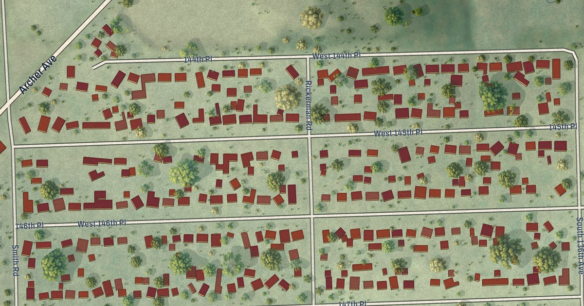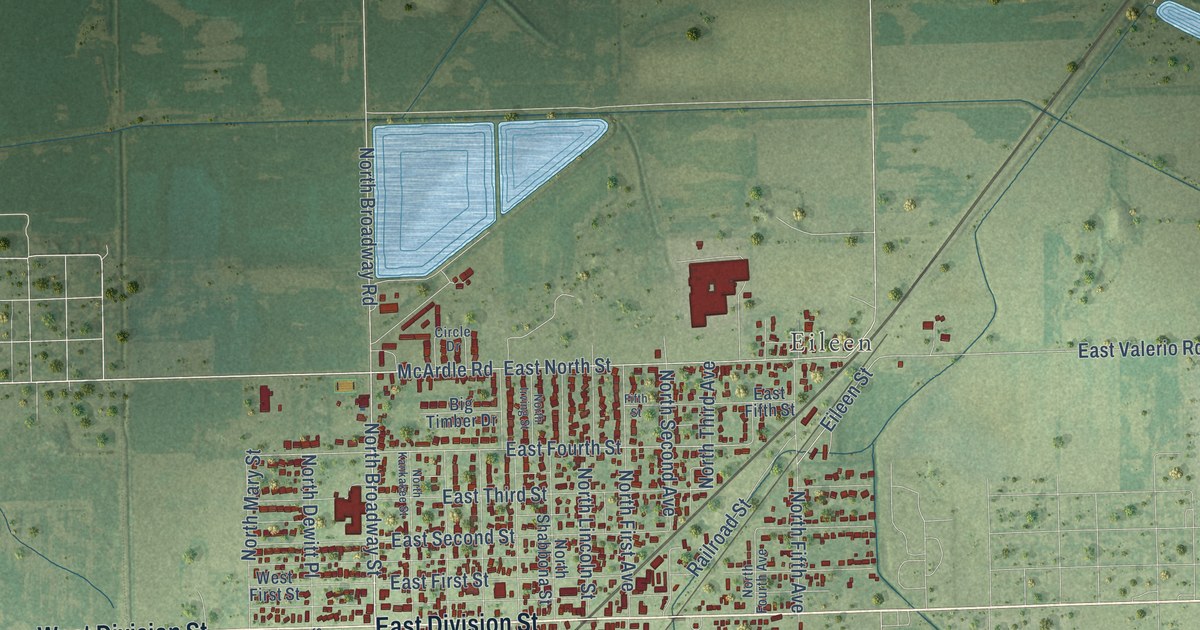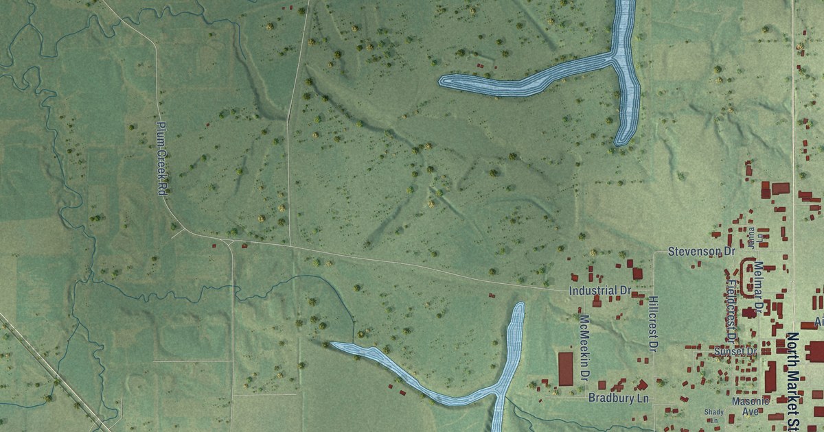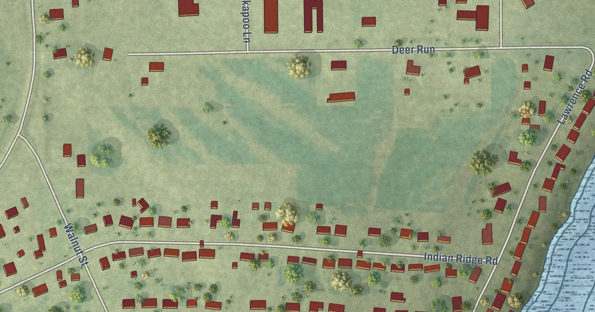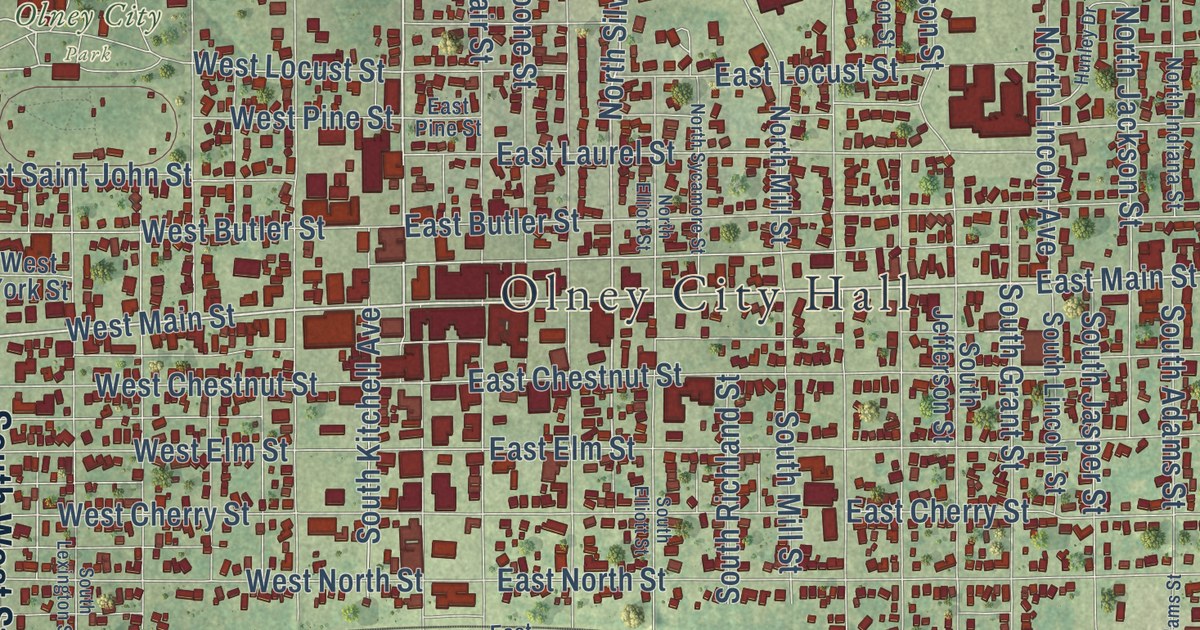
This beautifully detailed map of Olney, Illinois was created in 2026 using aerial imagery combined with modern topographical, census, street and landmark data. It’s a one-of-a-kind view of Olney that combines accurate data with a vintage aesthetic. The map shows every building in its true location, many of the roads carry their names, and the shaded topographic relief shows the shape of the land.
Explore an aerial view of Olney, Illinois
On the map you’ll find Olney City Hall and Olney City Park, along with South West Street, North West Street, West Main Street, East Main Street, North Walnut Street, West Mac Avenue, Clem Street, West Clem Street, East Mack Avenue, North Cottage Hill Road, and more. If you look closely you can even find your house accurately drawn in its correct location. Zoom in on the preview to look for yours.
Did you know this piece of Olney, Illinois history?
From the Historical Marker Database: "There were two people who discovered the Olney albino gray squirrel at about the same time, but in different places. William Yates Stroup caught albinos near his farmhouse four miles southeast of Olney."
Take a closer look at the Olney map
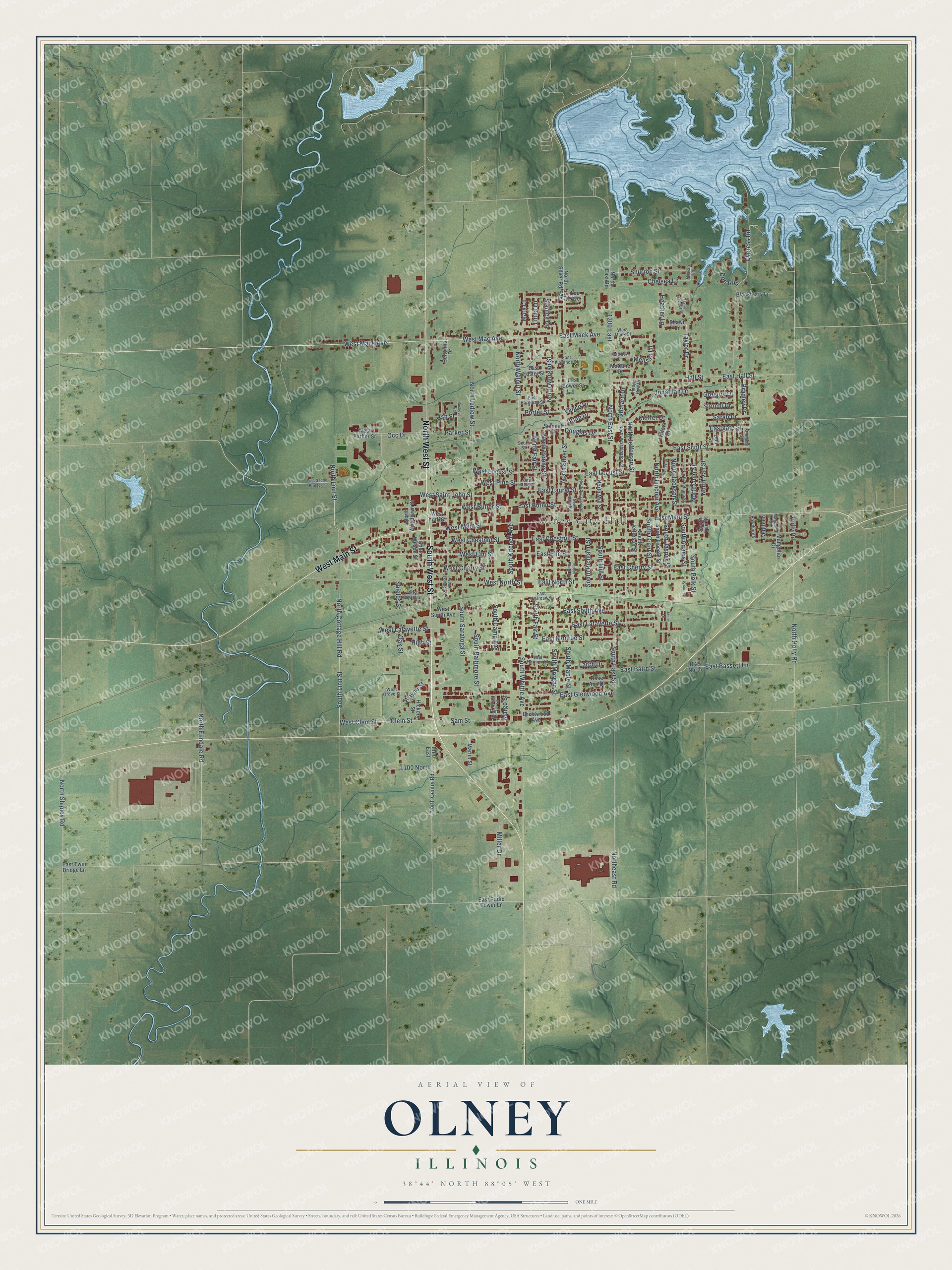
Street and place names on the Olney, Illinois map
These names are printed on the map of Olney, Illinois.
Places: Olney City Hall and Olney City Park.
Streets and roads: South West Street, North West Street, West Main Street, East Main Street, North Walnut Street, Clem Street, West Clem Street, East Mack Avenue, West Mac Avenue, North Silver Street, North Cottage Hill Road, West Mack Avenue.
More street names, A to Z
1025 North, 1100 East, 1100 North, 1175 East, 1200 East, Adams Street, Ash Street, Beltonna Drive, Blackberry Lane, Borah Street, Bradley Drive, Brentwood Avenue, Brian Drive, Buckeye Street, Chelsea Lane, Cypress Road, Doe Run, Doll Street, Douglas Drive, East Baird Street, East Bassett Lane, East Bower Street, East Butler Street, East Cherry Street, East Chestnut Street, East Elm Street, East Florence Street, East Foster Street, East Gadde Bridge Lane, Eastgate Street, East Glenwood Avenue, East Hall Street, East Hardman Street, East Harmon Street, East Lafayette Street, East Laurel Street, East Locust Street, East Monroe Street, East North Street, East Pine Street, East Radio Tower Lane, East Railroad Street, East Scott Street, East South Avenue, East Twin Bridge Lane, Evergreen, Gregory Drive, Hall Street, Hawthorne, Heather Lane, Hedge Row Drive, Hickory Street, High Street, Holly Road, Hunley Drive, Janie Lane, Jonathan Drive, Keiffer Drive, Kennedy Street, Larch Drive, Lee Avenue, Linda Lane, Magnolia Drive, Mangolia Drive, Margo Street, Martin Street, Mary Lane, Matthew Lane, McCane Drive, Melissa Lane, Miller Drive, Moriah Lane, North Boone Street, Northeast Road, North East Road, North East Street, North Elliott Street, North Elmdale Road, North Fair Street, North Gentry Road, North Holly Road, North Indiana Street, North Jackson Street, North Jefferson Street, North Lincoln Avenue, North Linn Street, North Ludlow Street, North Mill Street, North Morgan Street, North Ohio Street, North Shipley Road, North Silver Road, North Sycamore Street, North Van Street, North Washington Street, North Woodlawn Street, Oak Street, Occ Drive, Orchard Drive, Parker Street, Porter Street, Rose Ann Drive, Sam Street, Sarah Drive, Scott Street, Shawn Lane, Shields Street, Shurron Street, South Adams Street, South Baltimore Street, South Camp Avenue, South East Street, South Elliott Street, South Fair Street, South Grant Street, South Jasper Street, South Jefferson Street, South Kitchell Avenue, South Lexington Street, South Lincoln Street, South Linn Street, South Maple Street, South Mill Street, South Morgan Street, South Polk Street, South Richland Street, South Saratoga Street, South Van Street, South Whittle Avenue, South Wilson Street, Stanley Drive, Sterchi Drive, Summit Street, Taylor Drive, Taylor Lakeside Drive, Tom Street, Vance Drive, Wayne Street, West Bryant Street, West Butler Street, West Cherry Street, West Chestnut Street, West Elm Street, West Grove Street, West Lafayette Street, West Locust Street, West Mack Street, West North Street, West Parker Street, West Pine Street, West Saint John Street, West South Avenue, West York Street, Willow Drive.
See the Olney, Illinois map on a wall
The Olney map as an 18 x 24 inch print in a black frame.

This beautifully detailed map of Olney makes an attractive addition to your office, library, or den, and it can even be used to teach children the geography and history of the area. It also makes a great gift for anyone who grew up in Olney or moved away. When you’re done exploring, click here to get your copy of the Olney map.