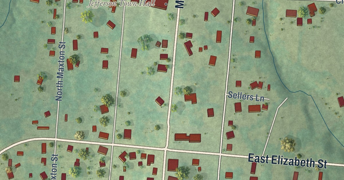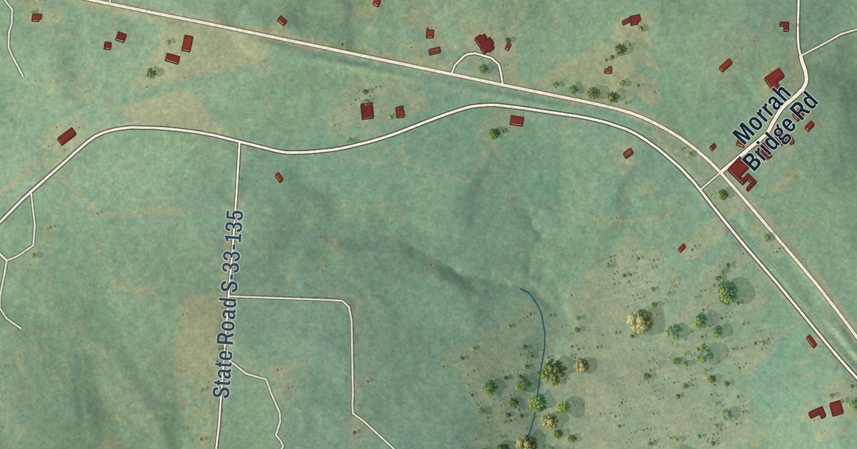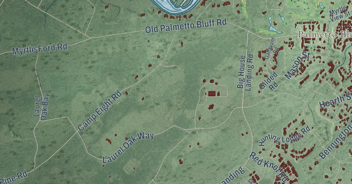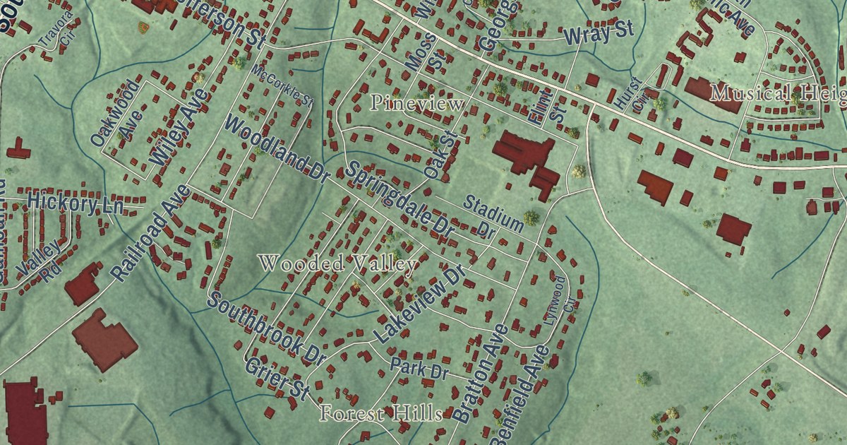
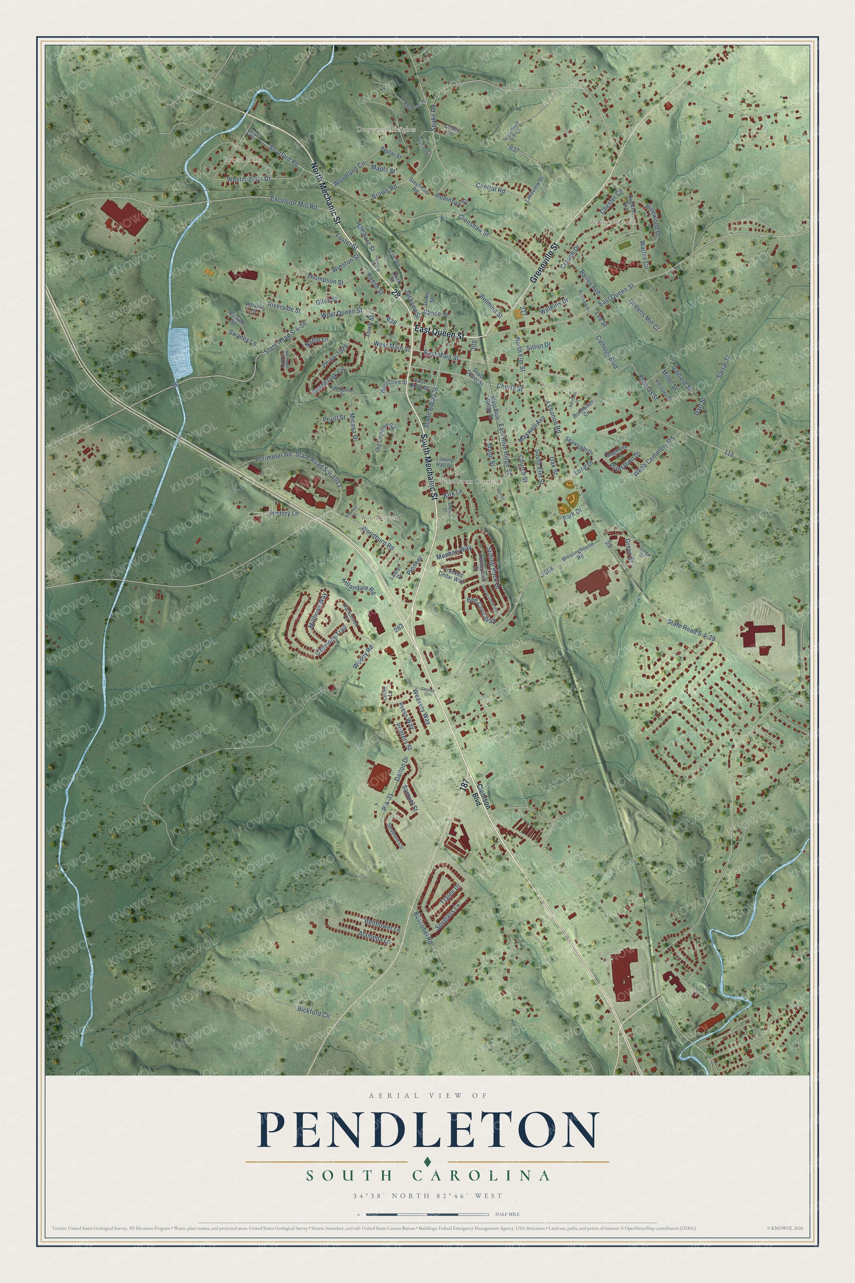
This beautifully detailed map of Pendleton, South Carolina was created in 2026 using aerial imagery combined with modern topographical, census, street and landmark data. It’s a one-of-a-kind view of Pendleton that combines accurate data with a vintage aesthetic. The map shows every building in its true location, many of the roads carry their names, and the shaded topographic relief shows the shape of the land.
Explore an aerial view of Pendleton, South Carolina
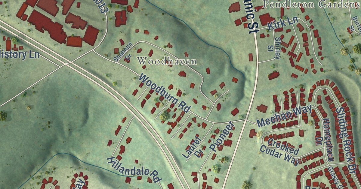
On the map you’ll find Forest Hills, Dogwood Heights, Warley Woods, Pendleton Gardens, and Woodhaven, along with South Mechanic Street, East Queen Street, Greenville Street, North Mechanic Street, West Queen Street, Jackson Street, Long Drive, and more. If you look closely you can even find your house accurately drawn in its correct location. Zoom in on the preview to look for yours.
Did you know this piece of Pendleton, South Carolina history?
From Scencyclopedia.org: "The Pendleton Farmers Society, organized in 1815, was still active entering the twenty-first century, making it one of the oldest agricultural societies in the nation."
Take a closer look at the Pendleton map
Street and place names on the Pendleton, South Carolina map
These names are printed on the map of Pendleton, South Carolina.
Places: Forest Hills, Dogwood Heights, Warley Woods, Woodhaven and Pendleton Gardens.
Streets and roads: South Mechanic Street, East Queen Street, North Mechanic Street, Greenville Street, West Queen Street, Jackson Street, Meehan Way, Riverside Street, Woodburn Road, Long Drive, West Main Street, Lebanon Road.
More street names, A to Z
Alameda Lane, Bailey Avenue, Bee Cove Way, Bellflower Lane, Belmina Street, Bermuda Drive, Bickford Circle, Boscobel Road, Brown Road, Buchanan Circle, Burrell Street, Calhoun Boulevard, Capslock Trail, Cedar Lane, Central Road, Cherry Street, Chester Circle, Church Street, Clark Street, Clemson Boulevard, Crawford Circle, Crenshaw Street, Crooked Cedar Way, Crouch Drive, Dalton Drive, Dart Street, East Blue Ridge Street, East Duke Street, East Main Street, Excelsior Mill Road, Foster Street, Gaillard Street, Giles Street, Grand Oak Circle, Grassy Creek Way, Green Street, Hamberg Street, Hamburg Street, Heritage Place Drive, Hillandale Road, Hillside Drive, History Lane, Homeplace Drive, Hopkins Avenue, Indigo Drive, Jones Street, Karkinnen Court, Keese Street, Kirk Lane, Lakeview Drive, Laurel Drive, Lee Street, Letter Lane, Liberty Hall Drive, Magnolia Lane, Major Street, Maple Street, Maxwell Avenue, Micasa Drive, Miller Street, Millhone Way, Montpelier Drive, Noble Lane, North Elm Street, Oak Street, Old Compton Road, P-4-31, Park Drive, Perimeter Road, Pinckney Street, Pinewood Drive, Pioneer, Plantation Drive, Pn-04-1826, Pn-04-1868, Poplar Street, Press Way, Printers Street, Pruitt Street, Queens Mill Court, Red Rose Drive, Robinson Street, Russell Street, Samuel Street, Sarrar Street, Seaborn Circle, Seawright Drive, Shannon Drive, Shirley Street, Sitton Drive, Sliding Rock Drive, South Broad Street, South Depot Street, South Elm Street, Spake Road, Spyglass Lane, State Road S-4-29, State Road S-4-56, State Road S-4-637, State Road S-4-1013, Stephens Road, Stratford Road, Swaney Circle, Swaney Lane, Thomas Street, Thompson Street, Town Street, Tralee Drive, Vance Street, Warley Circle, Watkins Drive, Weavery Way, Webb Cemetery Road, West Blue Ridge Street, West Duke Street, Westinghouse Road, Westminster Drive, Winston Street, Woodland Circle, Woodland Drive, Woody Road.
See the Pendleton, South Carolina map on a wall
The Pendleton map as an 18 x 24 inch print in a black frame.

This beautifully detailed map of Pendleton makes an attractive addition to your office, library, or den, and it can even be used to teach children the geography and history of the area. It also makes a great gift for someone who left Pendleton and still calls it home. When you’re done exploring, click here to get your copy of the Pendleton map.