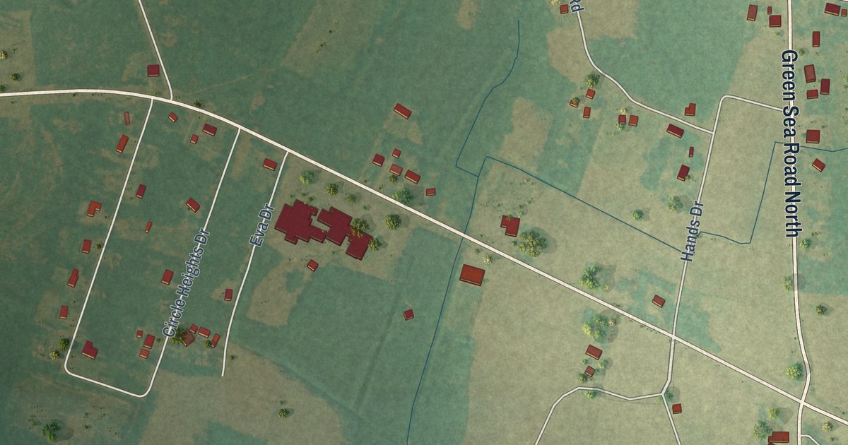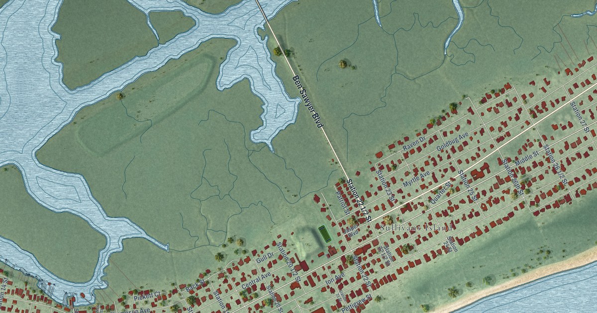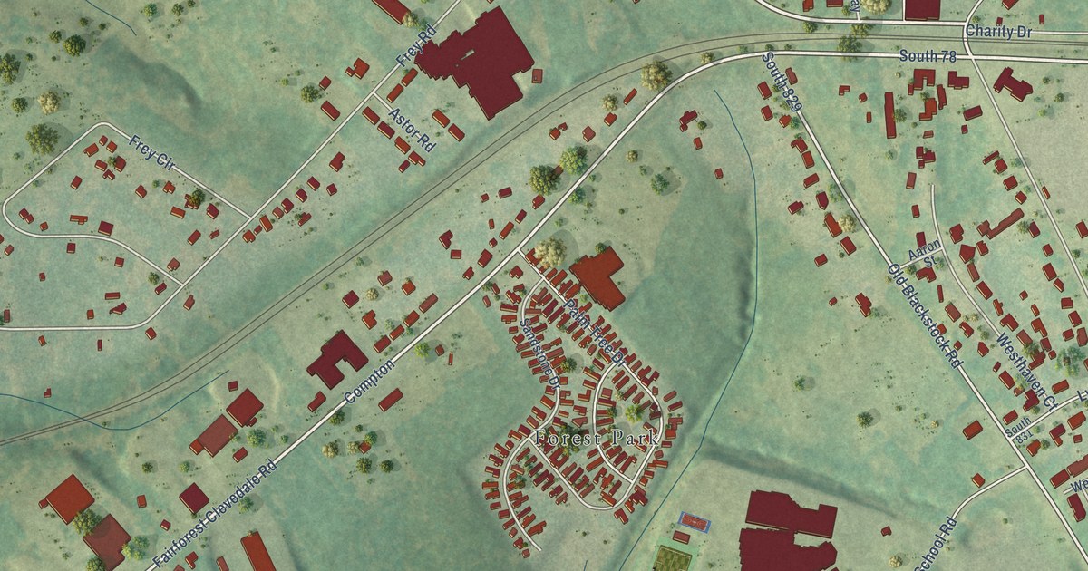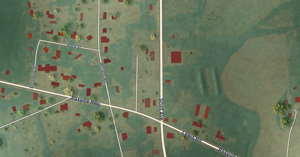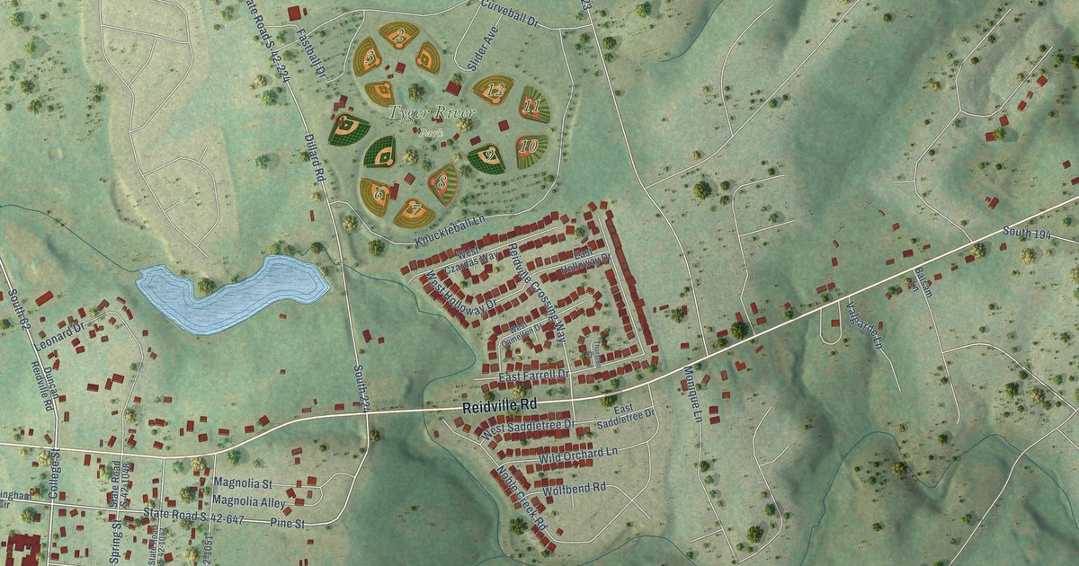
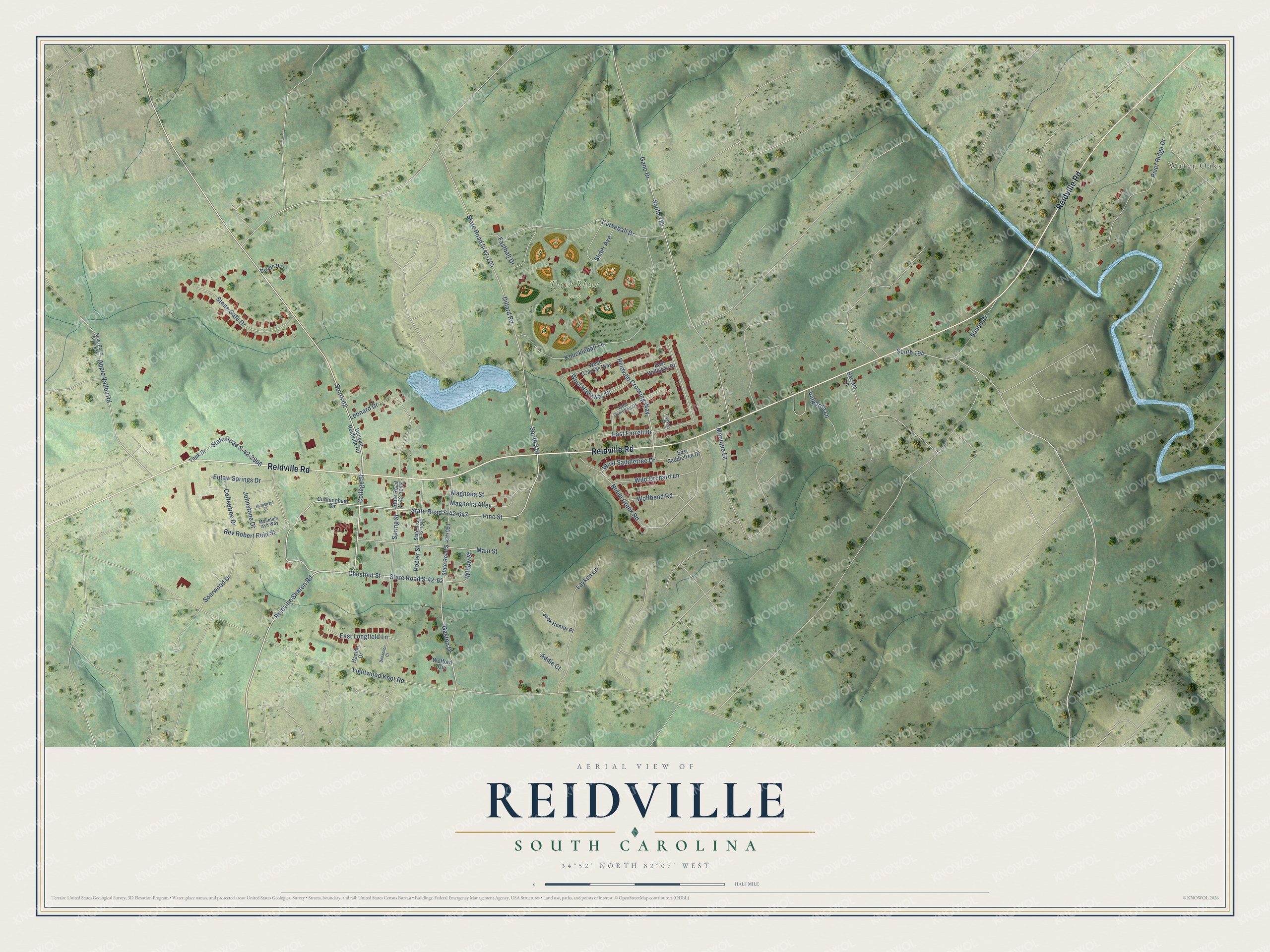
This beautifully detailed map of Reidville, South Carolina was created in 2026 using aerial imagery combined with modern topographical, census, street and landmark data. It’s a one-of-a-kind view of Reidville that combines accurate data with a vintage aesthetic. The map shows every building in its true location, many of the roads carry their names, and the shaded topographic relief shows the shape of the land.
Explore an aerial view of Reidville, South Carolina
On the map you’ll find Water Oaks, Tyger River Park, and South 62, along with Reidville Road, Reidville Sharon Road, College Street, State Road S-42-62, Pine Street, Chestnut Street, Reidville Crossing Way, Sourwood Drive, Spring Street, and more. If you look closely you can even find your house accurately drawn in its correct location. Zoom in on the preview to look for yours.
Did you know this piece of Reidville, South Carolina history?
From Scencyclopedia.org: "The Reidville Male and Female High Schools were established in 1857 and 1859, respectively."
Take a closer look at the Reidville map
Street and place names on the Reidville, South Carolina map
These names are printed on the map of Reidville, South Carolina.
Places: Water Oaks and Tyger River Park.
Streets and roads: Reidville Road, Reidville Sharon Road, College Street, South 62, State Road S-42-62, Pine Street, Chestnut Street, Reidville Crossing Way, Sourwood Drive, Spring Street, Lightwood Knot Road, State Road S-42-647.
More street names, A to Z
Addie Court, Apple Valley Road, Balsam Lane, Bohannon Court, Coffeetree Drive, Cunningham Circle, Curveball Drive, Devlin Drive, Dillard Road, Duncan Reidville Road, East Farrell Drive, East Holloway Drive, East Longfield Lane, East Saddletree Drive, Eutaw Springs Drive, Fastball Drive, Gano Drive, Gaston Drive, Hanlon Drive, Hornbeam Court, Jack Hunter Place, Johnstone Drive, Knuckleball Lane, Layken Lane, Leonard Drive, Magnolia Alley, Magnolia Street, Main Street, Monique Lane, Mountain Ash Way, Noble Creek Road, Poplar Street, Rev Robert Reid Street, River Ridge Drive, Simon Drive, Slider Avenue, South 194, South 223, South 224, State Road S-42-224, State Road S-42-656, State Road S-42-1047, State Road S-42-1048, State Road S-42-1051, State Road S-42-2906, Stone Gate Drive, Thurston Court, Valgarde Lane, West Camelton Drive, West Czardas Way, West Holloway Drive, West Saddletree Drive, Wild Orchard Lane, Willow Street, Wofford Circle, Wolfbend Road, Yank Drive.
See the Reidville, South Carolina map on a wall
The Reidville map as an 18 x 24 inch print in a black frame.

This beautifully detailed map of Reidville makes an attractive addition to your office, library, or den, and it can even be used to teach children the geography and history of the area. It also makes a great gift for anyone who grew up in Reidville or moved away. When you’re done exploring, click here to get your copy of the Reidville map.