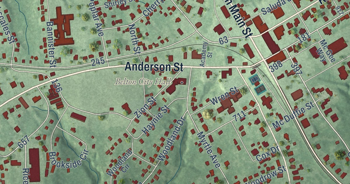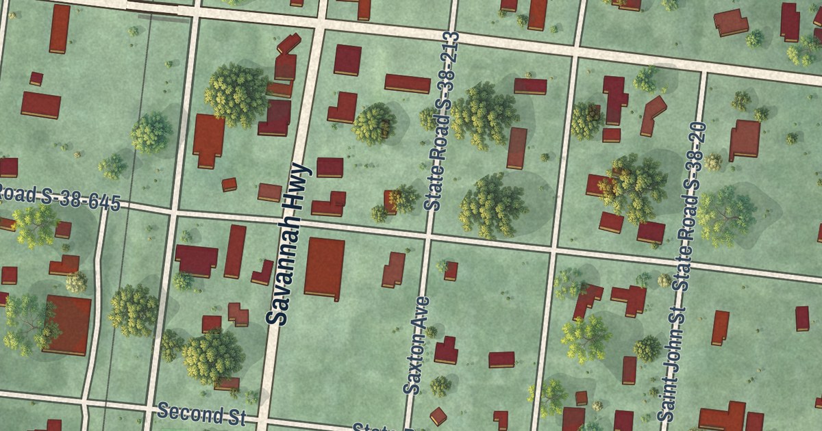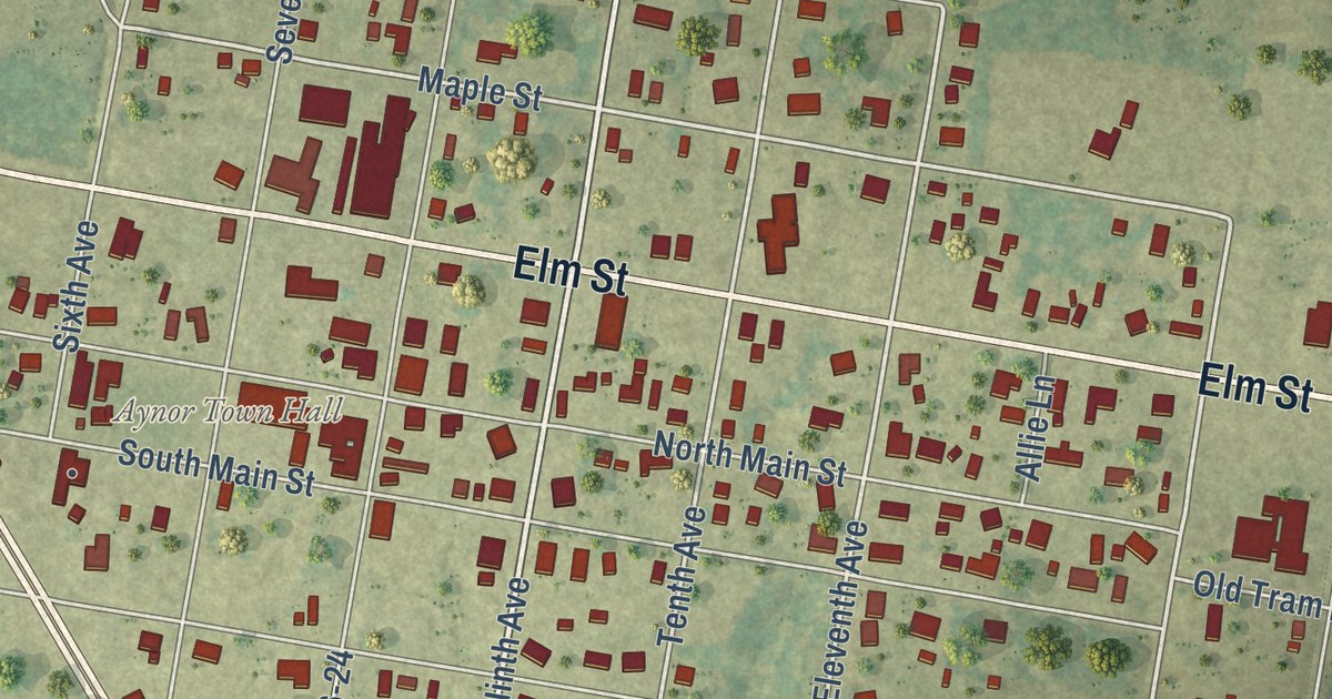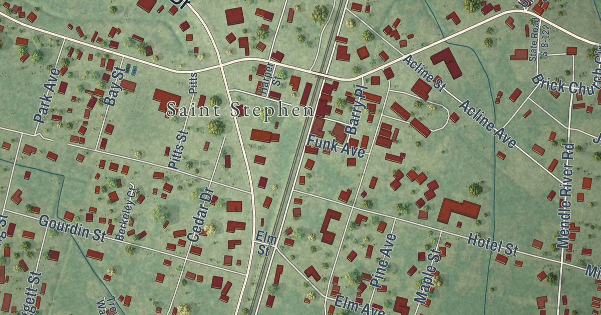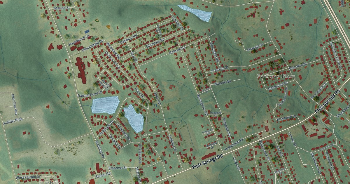
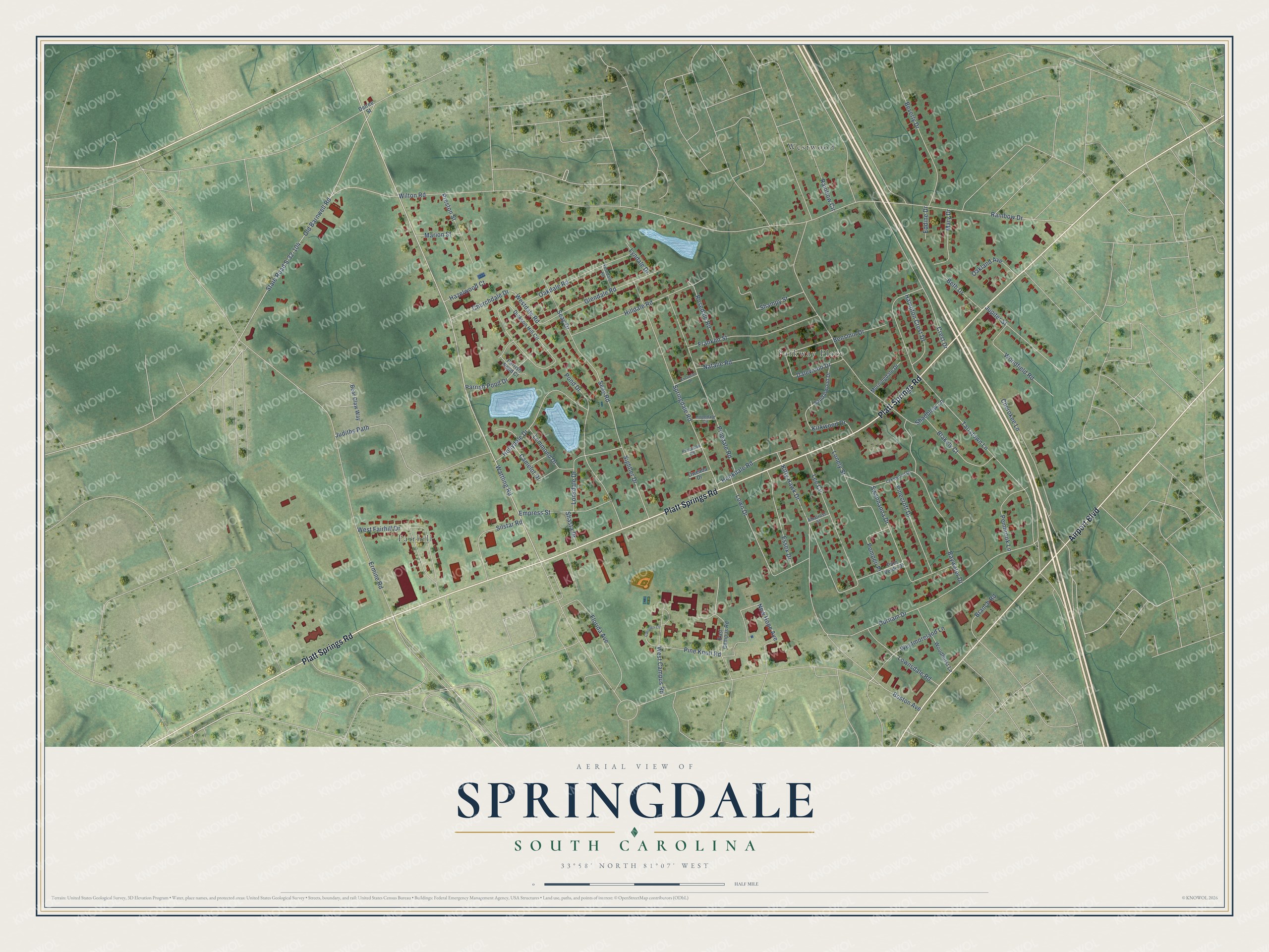
This beautifully detailed map of Springdale, South Carolina was created in 2026 using aerial imagery combined with modern topographical, census, street and landmark data. It’s a one-of-a-kind view of Springdale that combines accurate data with a vintage aesthetic. The map shows every building in its true location, many of the roads carry their names, and the shaded topographic relief shows the shape of the land.
Explore an aerial view of Springdale, South Carolina
On the map you’ll find Fairhill, Parkway Place, and Westwood, along with Platt Springs Road, Airport Boulevard, Kitty Hawk Drive, Wattling Road, Old Barnwell Road, Westdale Road, Rainbow Drive, Wilton Road, Tarrytown Lane, and more. If you look closely you can even find your house accurately drawn in its correct location. Zoom in on the preview to look for yours.
Did you know this piece of Springdale, South Carolina history?
In March 1955, fearing annexation by West Columbia and Cayce, residents made plans for a town called Sherwood. On June 17 voters approved incorporation, 35 to 24. They also picked a name, and Springdale won out over Sherwood. With no town hall yet, officials held their first meeting in a parked car. That’s from the South Carolina Encyclopedia.
Take a closer look at the Springdale map
Street and place names on the Springdale, South Carolina map
These names are printed on the map of Springdale, South Carolina.
Places: Fairhill, Parkway Place and Westwood.
Streets and roads: Platt Springs Road, Airport Boulevard, Kitty Hawk Drive, Wattling Road, Old Barnwell Road, Westdale Road, Rainbow Drive, Wilton Road, Tarrytown Lane, Ermine Road, State Road S-32-104, Lee Circle.
More street names, A to Z
Albatross Street, Baywater Drive, Bear Claw Way, Bensmin Drive, Beth Drive, Beverly Drive, Blakely Court, Boston Avenue, Branch Road, Camelot Drive, Carolina Circle, Cherokee Lane, Churchdale Drive, Crest Drive, Dalewood Drive, Delree Street, Dickson Hill Circle, Durham Drive, East Campus Road, Eddine Drive, Empress Street, Essex Drive, Exclusive Drive, Ferndale Road, Florida Avenue, Franklin Street, Glendale Road, Hampton Crest Drive, Hazelwood Court, Hilldale Road, Hollydale Drive, Hookdale Road, Hopedale Circle, Judiths Path, Jupiter Street, Kirkwood Drive, Lakewood Drive, Lemmond Drive, Lonely Street, Lonsdale Drive, Lown Drive, Lownsdale Road, Lyndale Drive, Marion Street, Mary Drive, Morningdale Drive, Natalie Road, New Hope Avenue, Oakdale Road, Oakland Avenue, Oweada Drive, Palo Verde Drive, Parrish Pond Court, Parrish Pond Drive, Pembrook Lane, Pinecroft Drive, Pinedale Road, Pine Knoll Road, Pinenook Road, Pompeii Place, Pond Drive, Preston Street, Rainbow Circle, Rosedale Road, Sandalwood Drive, Seay Drive, Seay Road, Shadblow Lane, Shampy Street, Shasta Drive, Sightler Drive, Silstar Road, Springdale Road, Swannanoa Drive, West Campus Road, West Fairhill Drive, Westmoreland Lane, Woodfield Road, Woodhurst Lane.
See the Springdale, South Carolina map on a wall
The Springdale map as an 18 x 24 inch print in a black frame.

This beautifully detailed map of Springdale makes an attractive addition to your office, library, or den, and it can even be used to teach children the geography and history of the area. It also makes a great gift for anyone who grew up in Springdale or moved away. When you’re done exploring, click here to get your copy of the Springdale map.