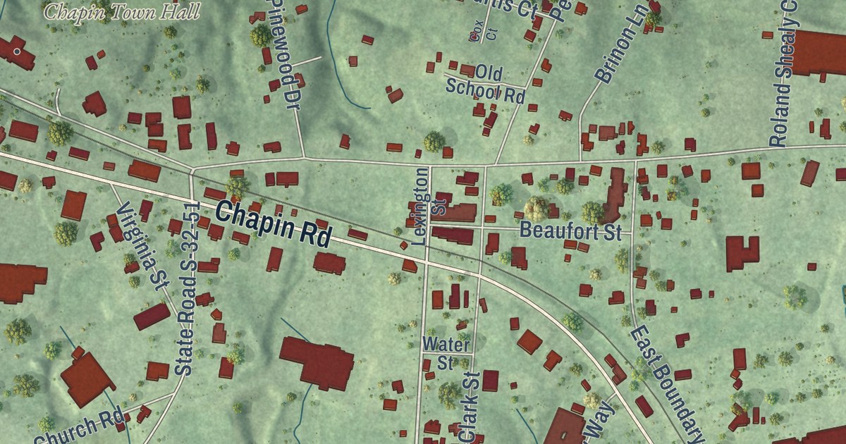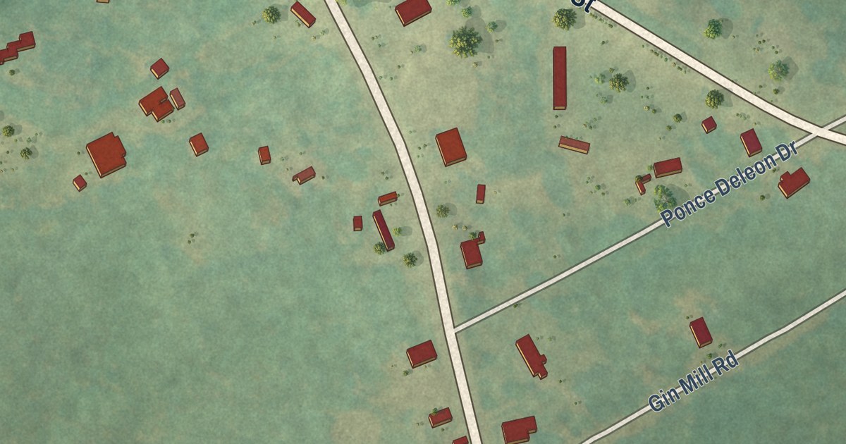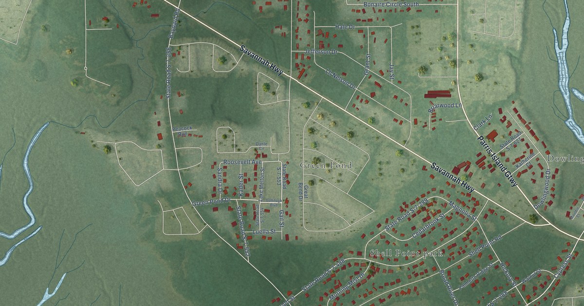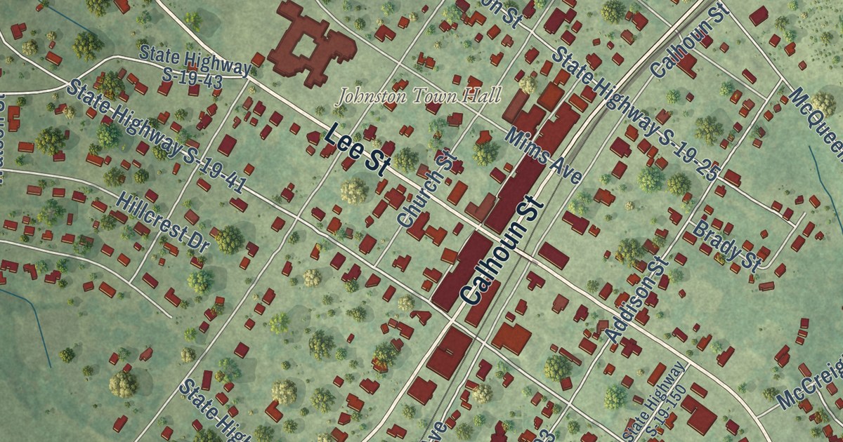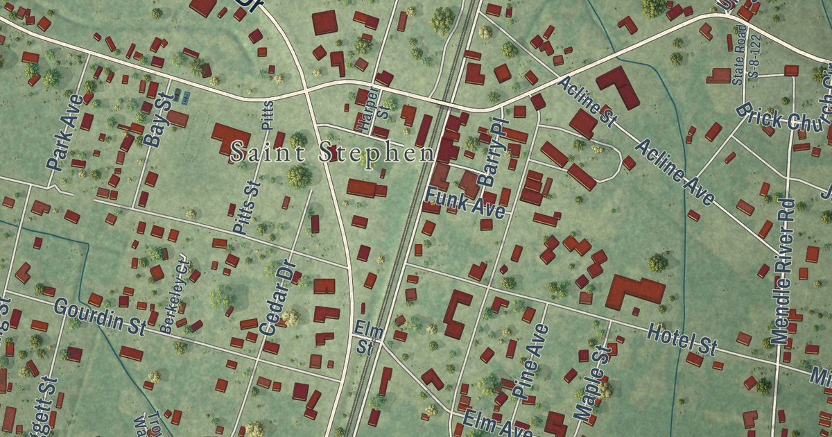
This beautifully detailed map of St. Stephen, South Carolina was created in 2026 using aerial imagery combined with modern topographical, census, street and landmark data. It’s a one-of-a-kind view of St. Stephen that combines accurate data with a vintage aesthetic. The map shows every building in its true location, many of the roads carry their names, and the shaded topographic relief shows the shape of the land.
Explore an aerial view of St. Stephen, South Carolina
On the map you’ll find Church Road, Byrnes Drive, Ravenell Drive, State Road S-8-27, Roosevelt Drive, State Road S-8-64, North Main Street, Palmetto Road, State Road S-8-351, Upton Road, Uptown Street, and more. If you look closely you can even find your house accurately drawn in its correct location. Zoom in on the preview to look for yours.
Did you know this piece of St. Stephen, South Carolina history?
From the Town of St. Stephen: "In 1754, St. Stephen Parish was established for both religious services and governmental administration. The construction of the St. Stephen Episcopal Church followed in 1767."
Take a closer look at the St. Stephen map
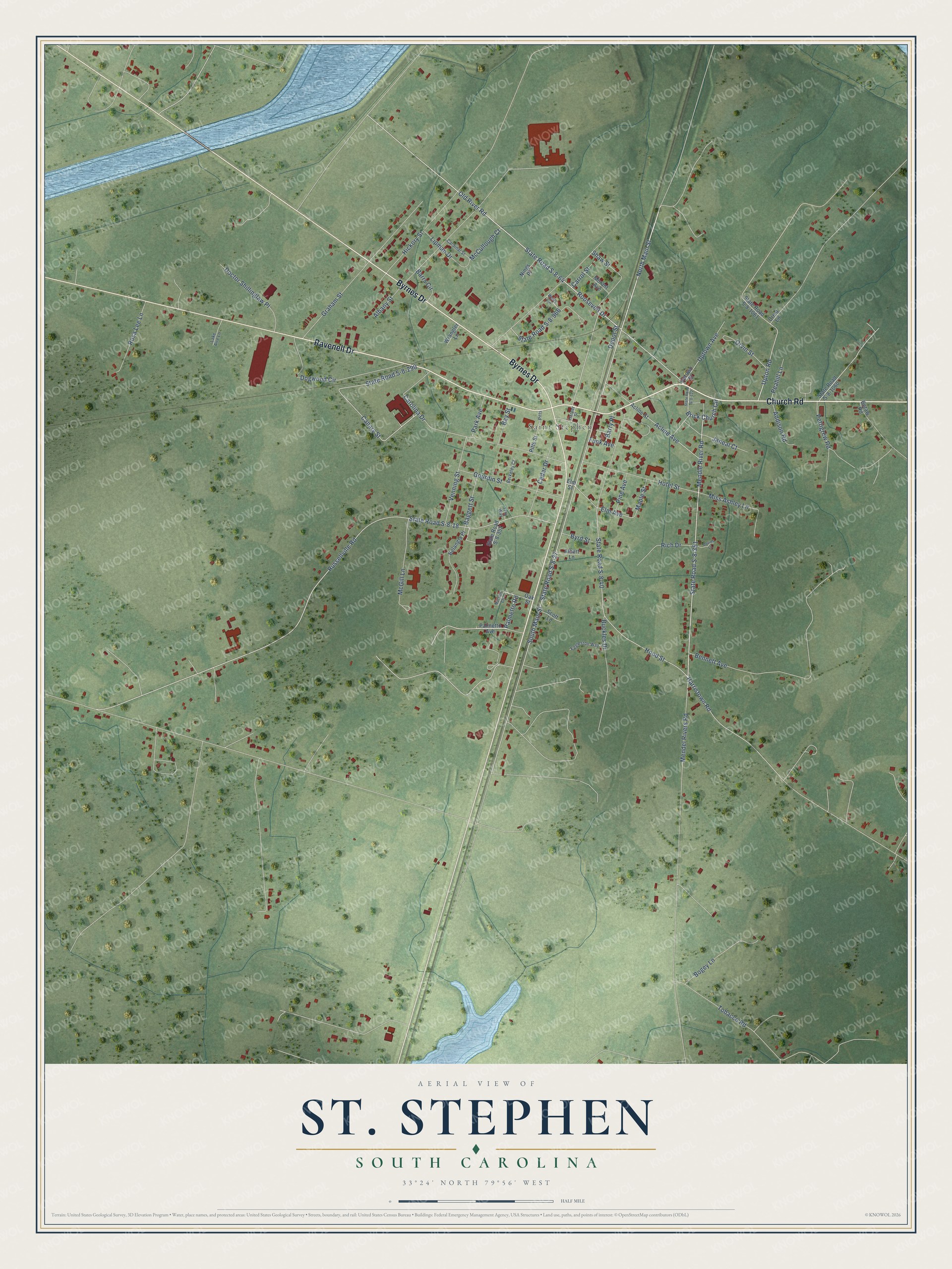
Street and place names on the St. Stephen, South Carolina map
These names are printed on the map of St. Stephen, South Carolina.
Places: Saint Stephen.
Streets and roads: Church Road, Byrnes Drive, Ravenell Drive, State Road S-8-27, North Main Street, Palmetto Road, Roosevelt Drive, State Road S-8-351, State Road S-8-64, Upton Road, State Road S-8-290, Elm Avenue.
More street names, A to Z
Acline Avenue, Acline Street, Addison Road, Albany Street, Albert Lane, Baggett Street, Barrs Circle, Barry Place, Bay Street, Belangia Place, Bennett Avenue, Berkeley Court, Betaw Road, Bogey Lane, Brick Church Circle, Buckles Drive, Byrd Street, Canary Street, Cardinal Street, Carolina Drive, Carrol Street, Cedar Drive, Crest Lane, Davies Lane, Depot Street, Doctor Shillinglaw Place, Dogwood Circle, Eggleston Way, Elm Street, Funk Avenue, Gourdin Street, Graham Street, Harper Street, Harristown Road, Hickory Street, Hood Street, Hotel Street, Janeal Court, Lake Aire Lane, Lipman Drive, Maple Street, McCullough Court, McGill Lane, Mendel Rivers Road, Mendle River Road, Miss Ashley Lane, Morant Avenue, Nings Place, Norton Lane, Oak Street, Old River Road, Orvin Street, Palmetto Avenue, Park Avenue, Peahill Lane, Pettigrew Road, Pine Avenue, Pitts, Pitts Street, Rich Drive, Rosa Lee Lane, Russellville Road, Scott Lane, Shaw Street, South Main Street, State Road S-8-18, State Road S-8-40, State Road S-8-122, State Road S-8-352, State Road S-8-966, State Road S-8-1060, State Road S-8-1061, Tobacco Road, Troy Way, Uptown Avenue, Uptown Street, Venning Street, Wells Circle, Wrangler Lane.
See the St. Stephen, South Carolina map on a wall
The St. Stephen map as an 18 x 24 inch print in a black frame.

This beautifully detailed map of St. Stephen makes an attractive addition to your office, library, or den, and it can even be used to teach children the geography and history of the area. It also makes a great gift for anyone who grew up in St. Stephen or moved away. When you’re done exploring, click here to get your copy of the St. Stephen map.