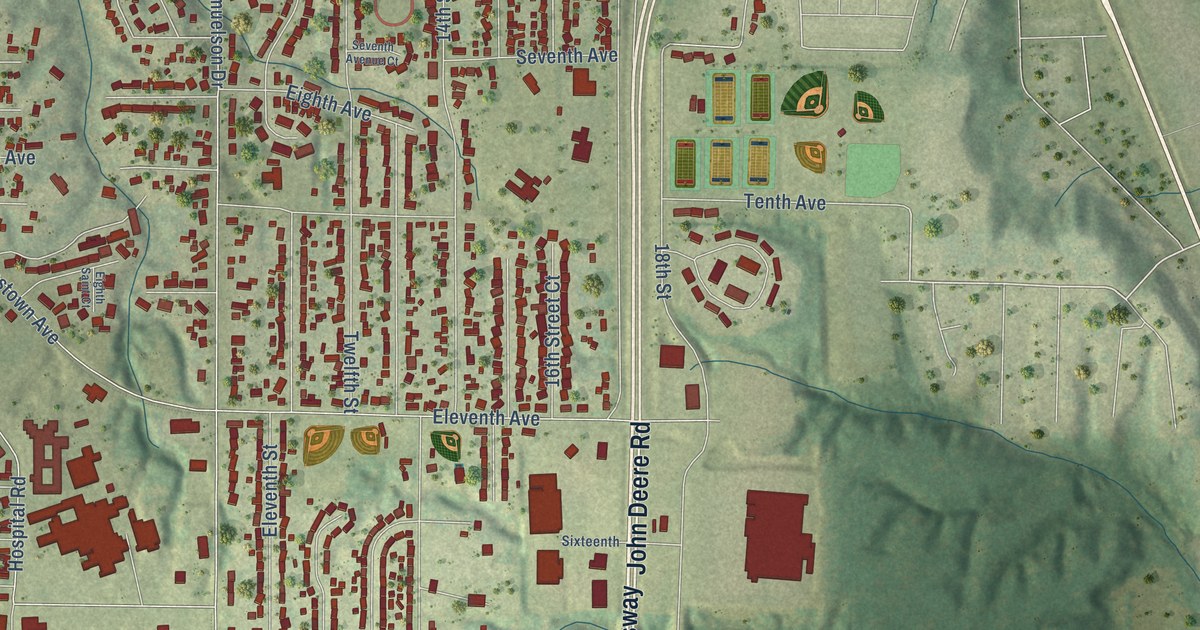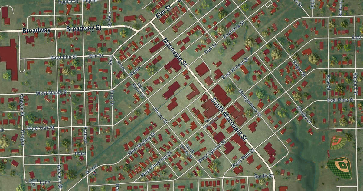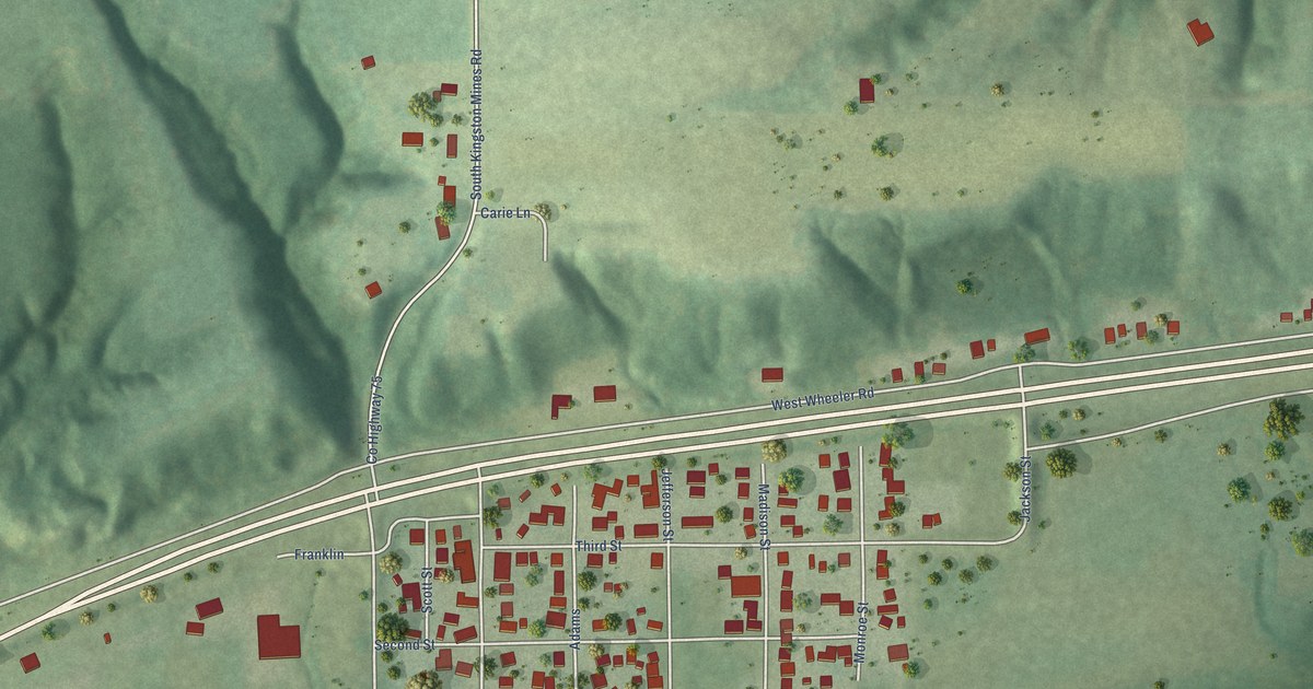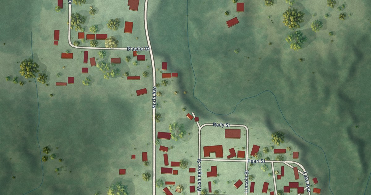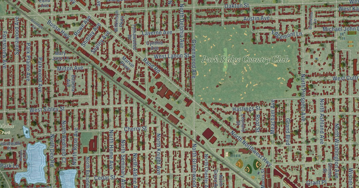
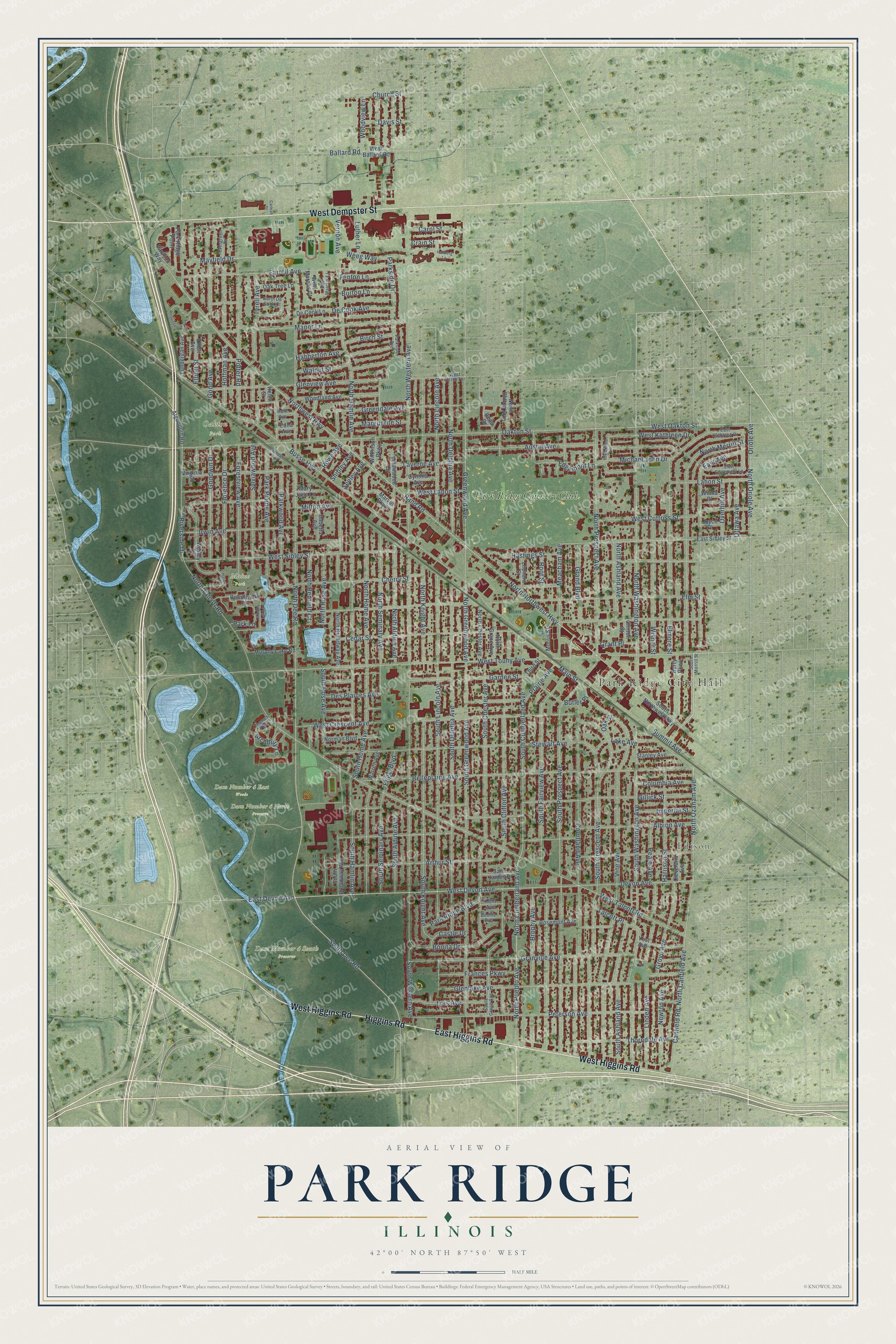
This beautifully detailed map of Park Ridge, Illinois was created in 2026 using aerial imagery combined with modern topographical, census, street and landmark data. It’s a one-of-a-kind view of Park Ridge that combines accurate data with a vintage aesthetic. The map shows every building in its true location, many of the roads carry their names, and the shaded topographic relief shows the shape of the land.
Explore an aerial view of Park Ridge, Illinois
On the map you’ll find Park Ridge City Hall, Edison, Dam Number 4 East Woods, Dam Number 4 North Preserve, Dam Number 4 South Preserve, Maine Park, Oakton Park, and Park Ridge Country Club, along with East Higgins Road, West Higgins Road, West Dempster Street, Higgins Road, and more. If you look closely you can even find your house accurately drawn in its correct location. Zoom in on the preview to look for yours.
Did you know this piece of Park Ridge, Illinois history?
The town was first called Pennyville, after George Penny, who ran the local brickyard with Robert Meacham. Penny opened his brickworks in 1854. The area’s rich clay made it a brick-making center for growing Chicago. Locals then took to calling the town Brickton.
Take a closer look at the Park Ridge map
Street and place names on the Park Ridge, Illinois map
These names are printed on the map of Park Ridge, Illinois.
Places: Park Ridge City Hall, Edison, Dam Number 4 East Woods, Dam Number 4 North Preserve, Dam Number 4 South Preserve, Maine Park, Oakton Park and Park Ridge Country Club.
Streets and roads: East Higgins Road, West Higgins Road, West Dempster Street, Higgins Road, West Touhy Avenue, North Ozanam Avenue, South Dee Road, Mayfield Drive, South Cumberland Avenue, North Cumberland Avenue, Edgemont Lane, Elliott Street.
More street names, A to Z
Albion Avenue, Algonquin Road, Archbury Lane, Arthur Street, Austin Avenue, Avondale Avenue, Babetta Avenue, Ballard Road, Beau Drive, Belleplaine Avenue, Berry Parkway, Birch Street, Boardwalk Place, Bonita Drive, Bonnie Avenue, Brookline Lane, Brophy Avenue, Burton Lane, Busse Highway, Butler Place, Canfield Road, Carleah Street, Carol Street, Castle Drive, Cedar Street, Cherry Street, Church Street, Cleveland Avenue, Clinton Street, Columbia Avenue, Courtland Avenue, Crain Street, Cynthia Avenue, Davis Street, De Cook Avenue, De Cook Lane, Des Plaines Avenue, Devon Avenue, East Avenue, East Devon Avenue, East Edgemont Lane, East Kathleen Drive, East Marcus Court, East Sibley Street, Edna Avenue, Elliott Avenue, Elmore Street, Elm Street, Engel Boulevard, Evergreen Lane, Farrell Avenue, Fenton Lane, Florence Drive, Forestview Avenue, Frances Parkway, Garden Street, Gillick Street, Glenlake Avenue, Glenview Avenue, Good Avenue, Goodwin Drive, Grand Boulevard, Grant Place, Granville Avenue, Greendale Avenue, Greenwood Avenue, Grove Avenue, Habberton Avenue, Halien Terrace, Hallberg Lane, Harrison Street, Hastings Street, Helen Street, Hoffman Avenue, Imperial Street, Irwin Avenue, Joyce Place, Kent Avenue, Lahon Street, Lake Avenue, Laverne Avenue, Leonard Street, Linden Avenue, Lois Avenue, Lundergan Avenue, Luther Lane, Main Street, Manor Lane, Marguerite Street, Marvin Parkway, Mary Jane Lane, Meacham Avenue, Michael John Drive, Milton Avenue, Morris Street, Murphy Lake Lane, Murphy Lake Road, Newton Avenue, Norman Boulevard, North Aldine Avenue, North Ashland Avenue, North Broadway Avenue, North Canfield Avenue, North Chester Avenue, North Clifton Avenue, North De Cook Court, North Dee Road, North Delphia Avenue, North Grace Avenue, North Greenwood Avenue, North Hamlin Avenue, North Home Avenue, North Knight Avenue, North Lincoln Avenue, North Merrill Street, North Northwest Highway, North Oriole Avenue, North Prospect Avenue, North Pueblo Avenue, North Redfield Court, North Rose Avenue, North Seminary Avenue, North Talcott Road, North Washington Avenue, North Western Avenue, Northwest Highway, Oak Street, Oakton Street, Oak Tree Lane, Oriole Avenue, Ottawa Avenue, Overhill Avenue, Park Lane, Park Plaine Avenue, Park Ridge Boulevard, Park Ridge Point, Parkside Avenue, Parkside Drive, Parkwood Avenue, Pavilion Way, Peale Avenue, Peterson Avenue, Potter Road, Prairie Avenue, Rand Road, Renaissance Drive, Riverside Drive, Root Street, Rosemont Avenue, Rowe Avenue, Ruth Avenue, Saint James Place, Seeley Avenue, Shibley Avenue, South Aldine Avenue, South Ashland Avenue, South Broadway Avenue, South Chester Avenue, South Clifton Avenue, South Crescent Avenue, South Delphia Avenue, South Fairview Avenue, South Grace Avenue, South Greenwood Avenue, South Hamlin Avenue, South Home Avenue, South Knight Avenue, South Lincoln Avenue, South Merrill Street, South Northwest Highway, South Prospect Avenue, South Rose Avenue, South Seminary Avenue, South Washington Avenue, South Western Avenue, Stanley Avenue, Stewart Avenue, Summit Avenue, Sylviawood Avenue, Talcott Place, Thames Parkway, Third Street, Thorndale Avenue, Tomawadee Drive, Tyrell Avenue, Vernon Avenue, Vine Avenue, Virginia Street, Walnut Street, Warren Avenue, Weeg Way, Wesley Drive, West Ballard Road, West Crescent Avenue, West Cuttriss Street, West Devon Avenue, West Kathleen Drive, West Lahon Street, West Marcus Court, West North Terrace, West Oakton Street, West Sibley Street, West Talcott Road, Wilkinson Parkway, Wilma Place, Wisner Street, Woodland Avenue, Woodview Lane, Yost Avenue.
See the Park Ridge, Illinois map on a wall
The Park Ridge map as an 18 x 24 inch print in a black frame.

This beautifully detailed map of Park Ridge makes an attractive addition to your office, library, or den, and it can even be used to teach children the geography and history of the area. It also makes a great gift for someone who left Park Ridge and still calls it home. When you’re done exploring, click here to get your copy of the Park Ridge map.