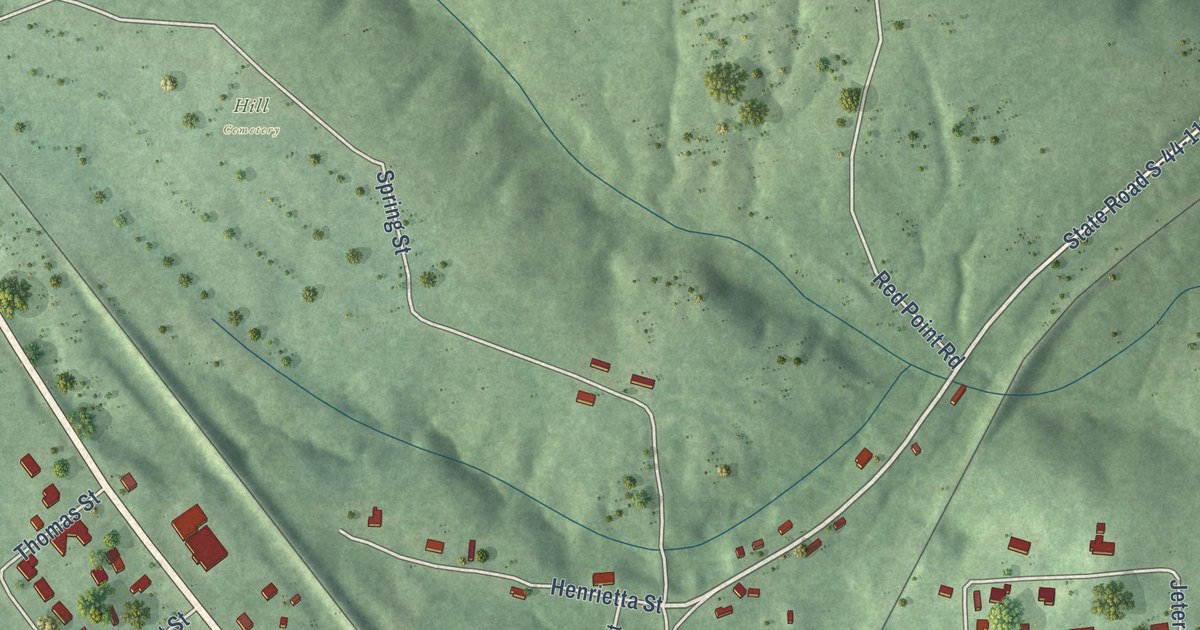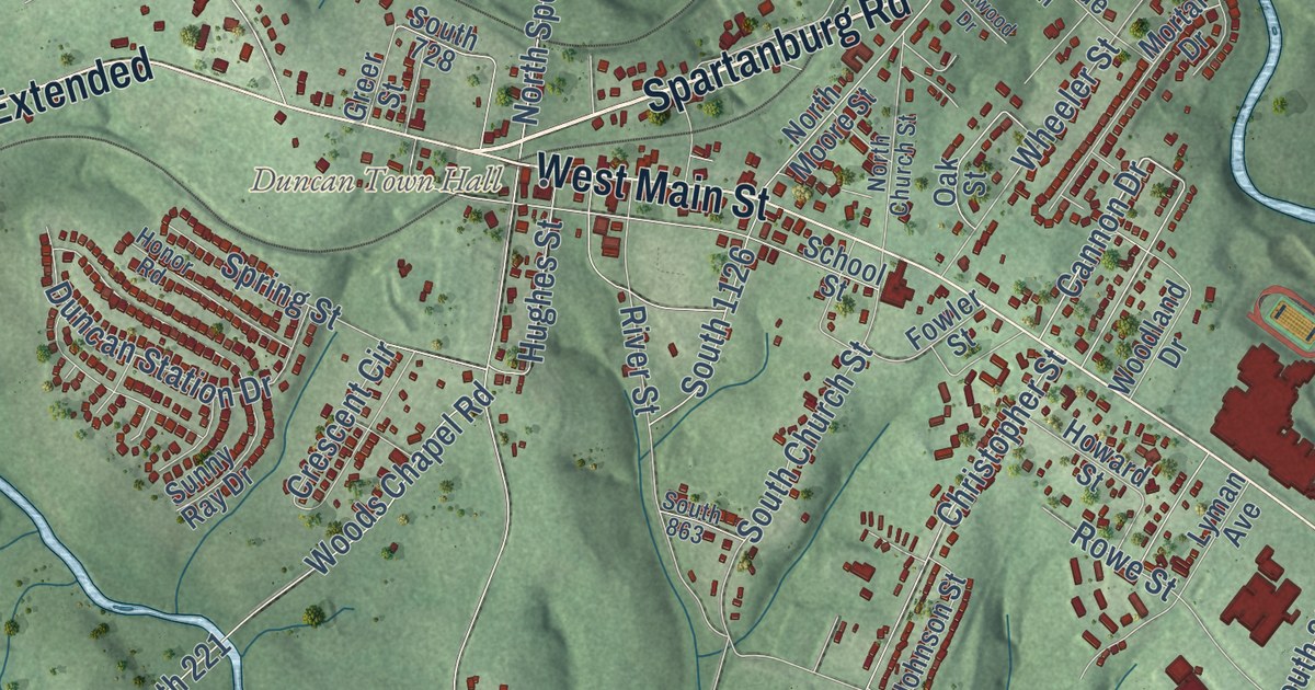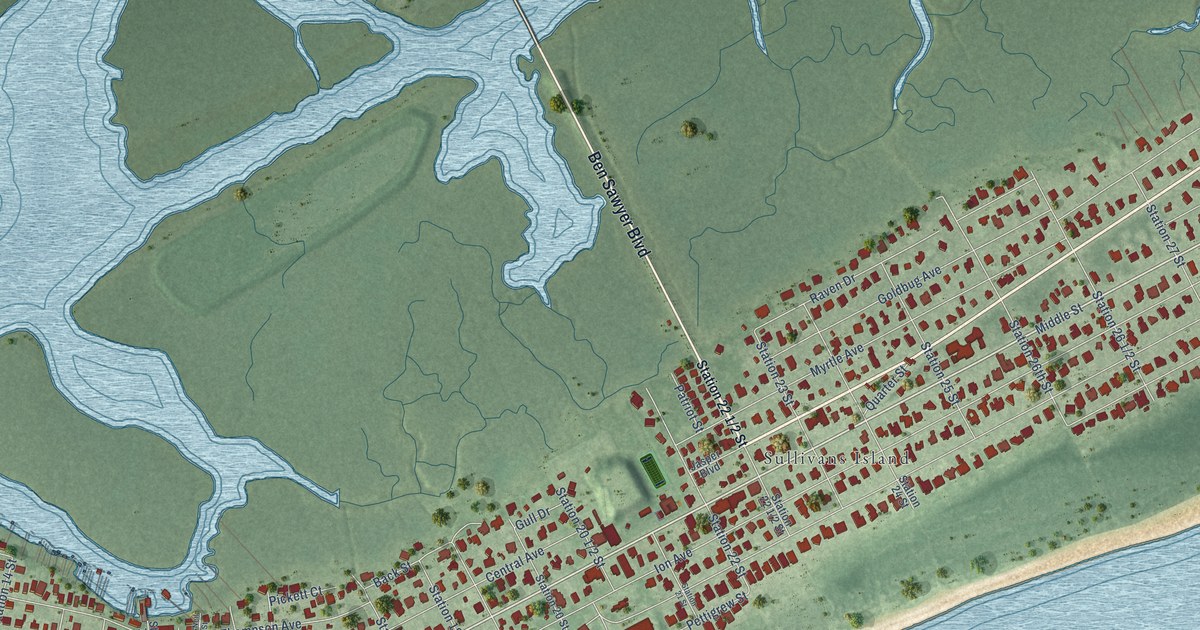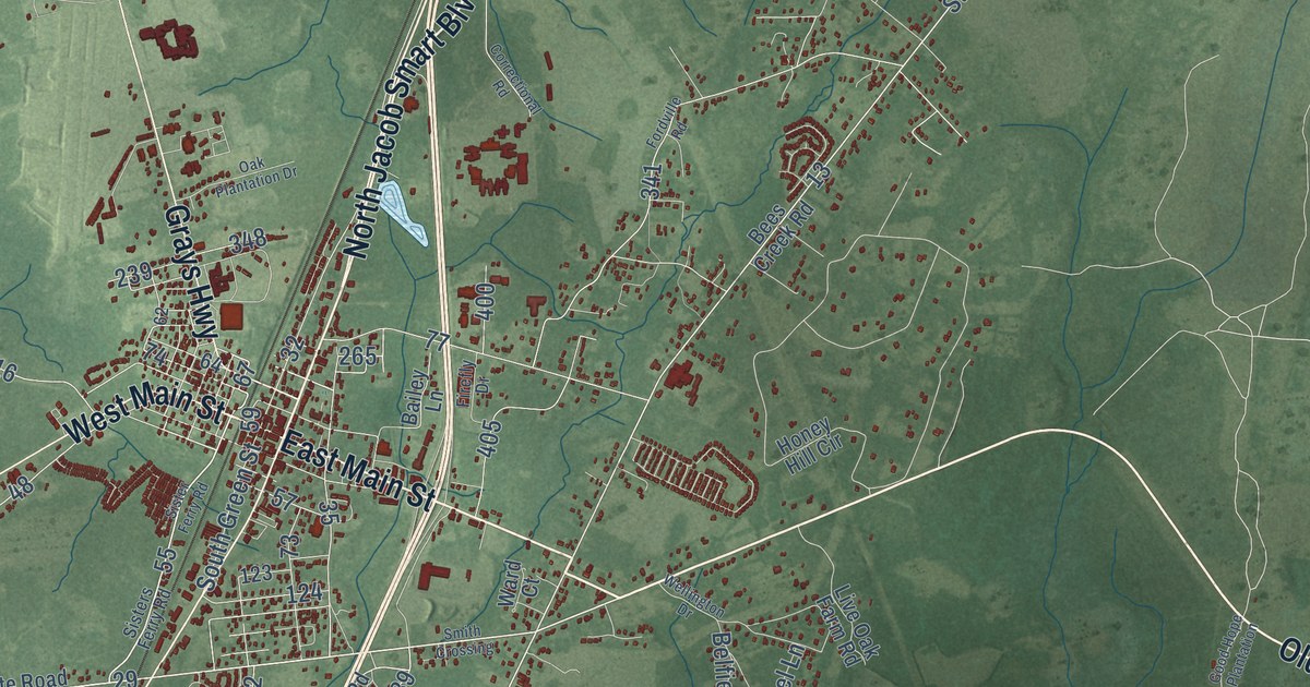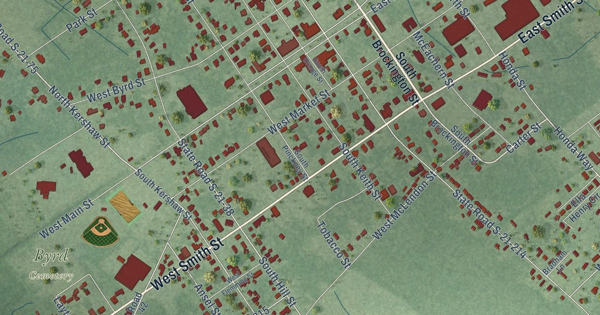
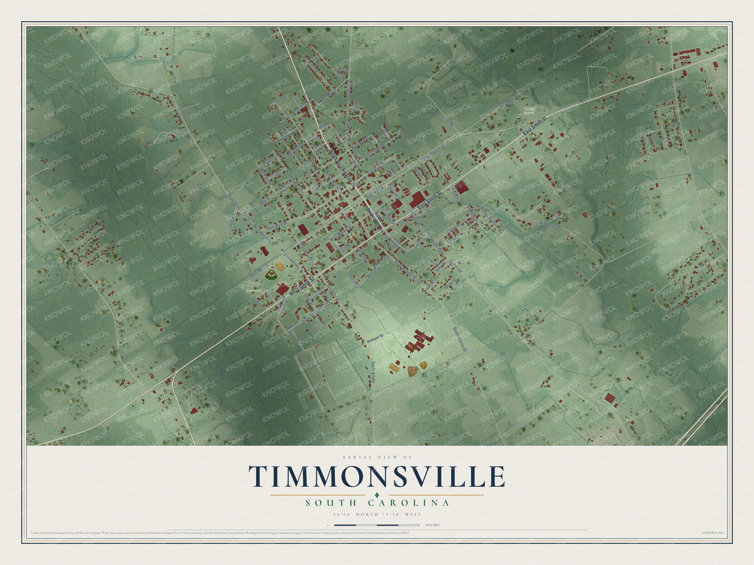
This beautifully detailed map of Timmonsville, South Carolina was created in 2026 using aerial imagery combined with modern topographical, census, street and landmark data. It’s a one-of-a-kind view of Timmonsville that combines accurate data with a vintage aesthetic. The map shows every building in its true location, many of the roads carry their names, and the shaded topographic relief shows the shape of the land.
Explore an aerial view of Timmonsville, South Carolina
On the map you’ll find Byrd Cemetery and Phillips Cemetery, along with North Brockington Street, East Smith Street, West Smith Street, South Brockington Street, Carter Street, Center Road, North Kershaw Street, North Warren Street, South Hill Street, East Clifford Street, and more. If you look closely you can even find your house accurately drawn in its correct location. Zoom in on the preview to look for yours.
Did you know this piece of Timmonsville, South Carolina history?
From Scencyclopedia.org: "The railroads also led to the creation of the town of Timmonsville (1851) and a depot at Grahams (1858), which later became the town of Lake City."
Take a closer look at the Timmonsville map
Street and place names on the Timmonsville, South Carolina map
These names are printed on the map of Timmonsville, South Carolina.
Places: Byrd Cemetery and Phillips Cemetery.
Streets and roads: North Brockington Street, East Smith Street, West Smith Street, Carter Street, Center Road, North Kershaw Street, North Warren Street, South Hill Street, East Clifford Street, East Byrd Street, East New Street, East Milk Street.
More street names, A to Z
Aire Acres Road, Ansel Street, Aster Bend, Bowman Circle, Bradham Lane, Buie Drive, Canterbury Court, Chloe Circle, Cooper Lane, Darlington Street, East Carroll Street, East Garner Street, East Main Street, Ella Henry Circle, Fifth Street, Foxworth Street, Green Drive, Gregory Street, Harkless Court, Honda Street, Honda Way, Howard Street, Jims Road, Kemper Street, Layton Drive, Linwood Street, Ludd Street, McEachern Street, Mike Munly Road, Mocking Byrd Lane, North Colonial Drive, North Hill Street, North Jackson Street, North Keith Street, North Orange Street, North Pinckney Street, North Tanyard Street, Parkside Lane, Park Street, Player Street, South Brockington Street, South Hill Road, South Keith Street, South Kershaw Street, South Orange Street, South Pinckney Street, South Warren Street, Sparks Street, State Road S-21-18, State Road S-21-38, State Road S-21-42, State Road S-21-75, State Road S-21-145, State Road S-21-214, State Road S-21-215, State Road S-21-408, Third Street, Tobacco Street, Vanda Drive, Vanda Street, West Byrd Street, West Carroll Street, West Flemming Street, West James Street, West Main Street, West Market Street, West McLendon Street, West Park Street, West Washington Street, White Street.
See the Timmonsville, South Carolina map on a wall
The Timmonsville map as an 18 x 24 inch print in a black frame.

This beautifully detailed map of Timmonsville makes an attractive addition to your office, library, or den, and it can even be used to teach children the geography and history of the area. It also makes a great gift for anyone with Timmonsville roots. When you’re done exploring, click here to get your copy of the Timmonsville map.