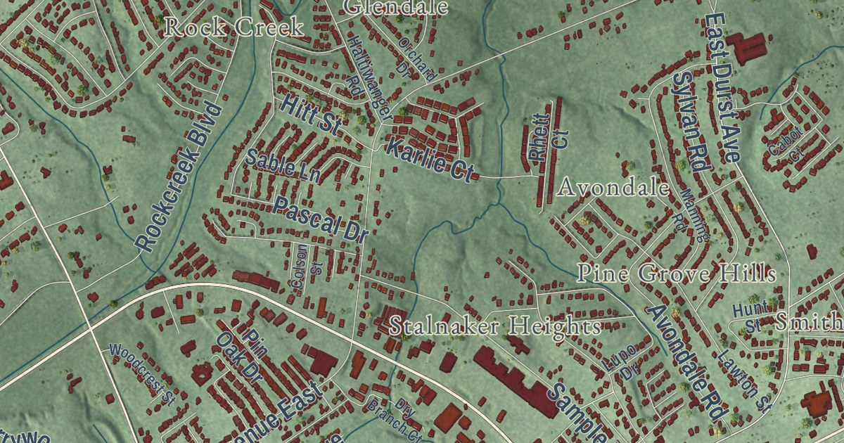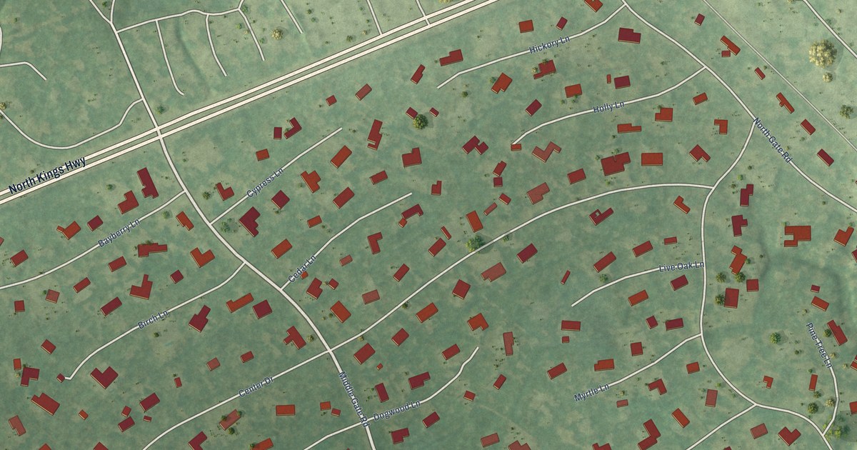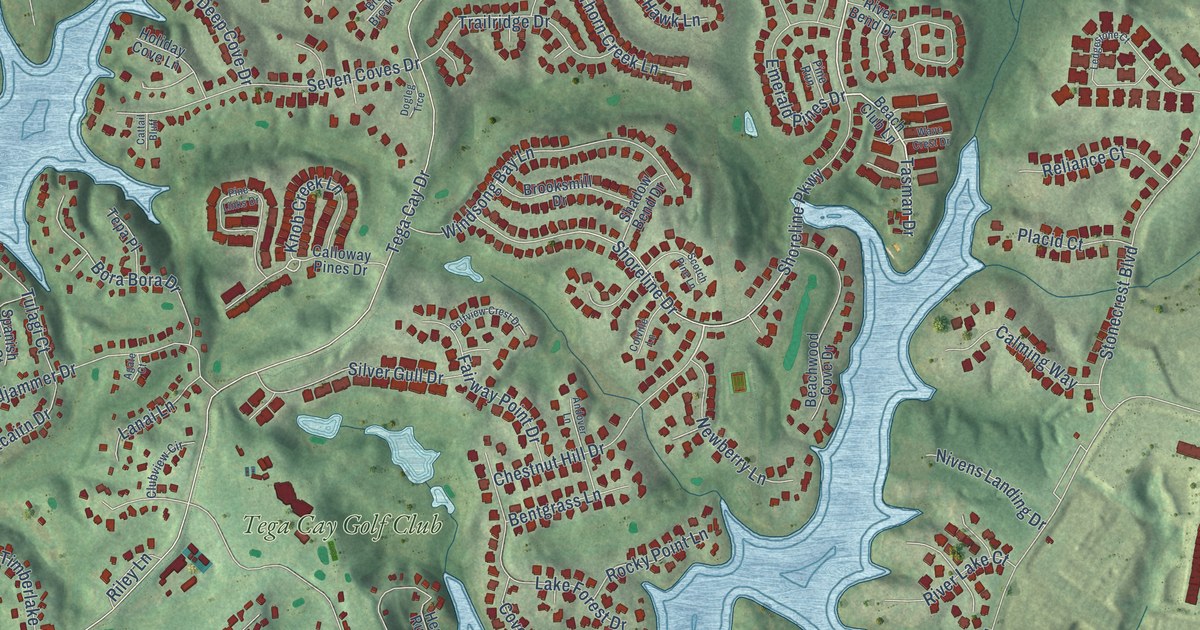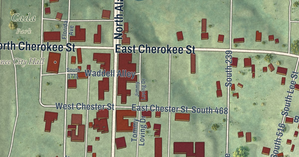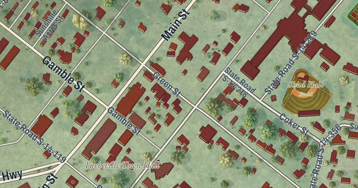
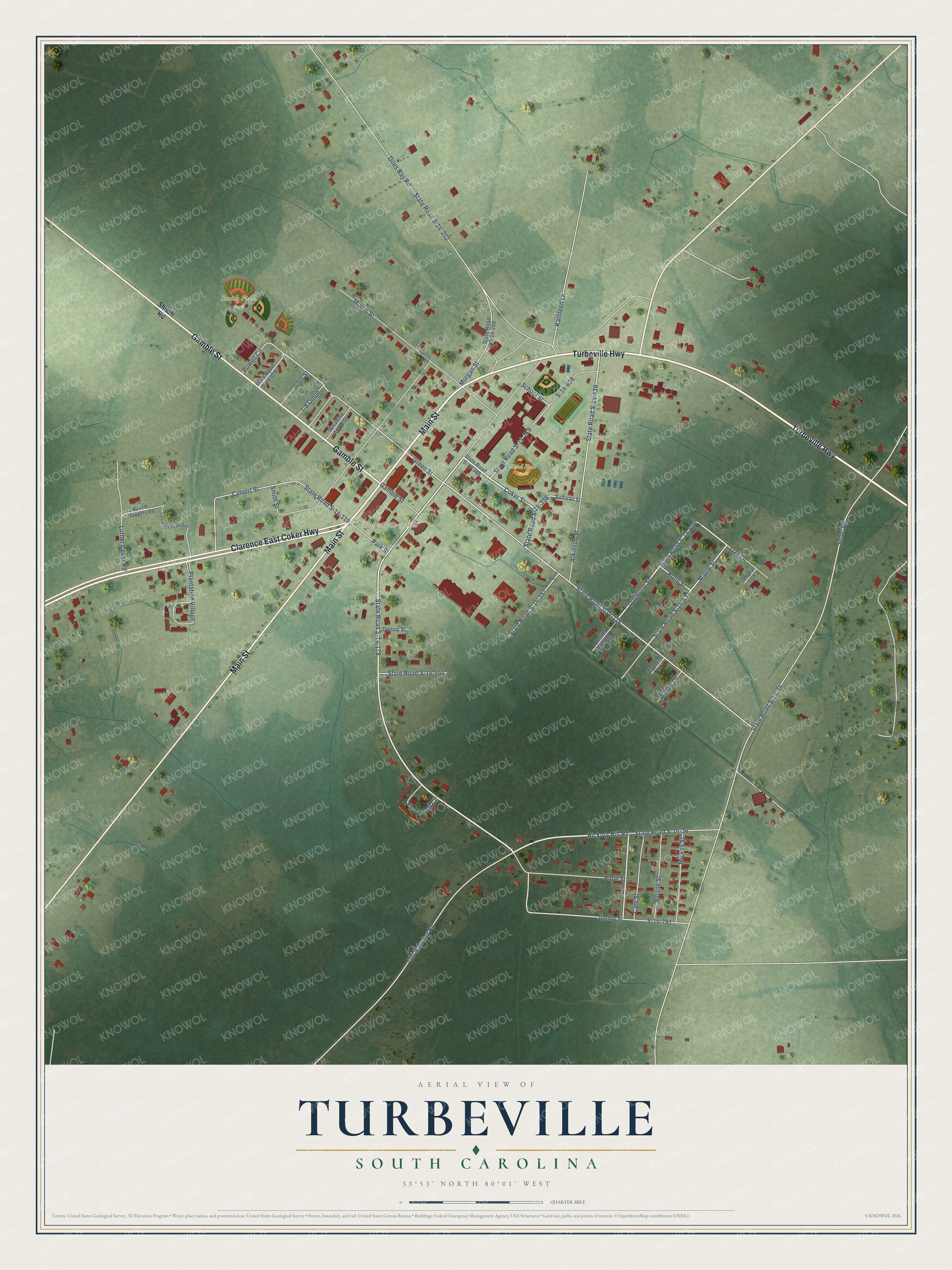
This beautifully detailed map of Turbeville, South Carolina was created in 2026 using aerial imagery combined with modern topographical, census, street and landmark data. It’s a one-of-a-kind view of Turbeville that combines accurate data with a vintage aesthetic. The map shows every building in its true location, many of the roads carry their names, and the shaded topographic relief shows the shape of the land.
Explore an aerial view of Turbeville, South Carolina
On the map you’ll find Turbeville Town Hall, Seloc, Smith Field Park, and Shad Hall Field, along with Turbeville Highway, Gamble Street, Main Street, Clarence East Coker Highway, Coker Street, State Road S-14-178, Hickory Hill Road, Jimmy Street, and more. If you look closely you can even find your house accurately drawn in its correct location. Zoom in on the preview to look for yours.
Did you know this piece of Turbeville, South Carolina history?
From SCIWAY: "In the 1870s, William Turbeville and his brother, Clem, bought most of the land that would become the town of Turbeville. The brothers operated a store, and since large pine trees were so plentiful, they also built and operated a turpentine still."
Take a closer look at the Turbeville map
Street and place names on the Turbeville, South Carolina map
These names are printed on the map of Turbeville, South Carolina.
Places: Turbeville Town Hall, Seloc, Smith Field Park and Shad Hall Field.
Streets and roads: Turbeville Highway, Gamble Street, Main Street, Clarence East Coker Highway, Coker Street, State Road S-14-178, Hickory Hill Road, Jimmy Street, State Road S-14-356, Green Street, State Road S-14-433, State Road S-14-606.
More street names, A to Z
1-8 Omph, Atkinson Street, Baxter Roberts Road, Calvert Street, Cam Street, Cypress Street, Dennis Street, Diles Bay Road, Dogwood Street, Farmwood Circle, Glen Street, Holly Street, Kathleen Lane, Lake Maggie Lane East, Luther Coker Road, Maple Street, Mickey Street, Morgan Street, Morris Street, Oak Lane, Old Manning Road, Park Street, Plantation Village, Pope Street, Poplar Lane, Powell Circle, S-14-638, S-14-791, School Street, Seloc Road, Shiloh Road, Sloane Street, Smith Street, South Dogwood Street, State Road S-14-34, State Road S-14-36, State Road S-14-116, State Road S-14-119, State Road S-14-202, State Road S-14-206, State Road S-14-218, State Road S-14-219, State Road S-14-357, State Road S-14-439, State Road S-14-459, State Road S-14-544, Sullivan Street, Sunshine Acres Street, Willow Lane, Wingard Street.
See the Turbeville, South Carolina map on a wall
The Turbeville map as an 18 x 24 inch print in a black frame.

This beautifully detailed map of Turbeville makes an attractive addition to your office, library, or den, and it can even be used to teach children the geography and history of the area. It also makes a great gift for someone who left Turbeville and still calls it home. When you’re done exploring, click here to get your copy of the Turbeville map.