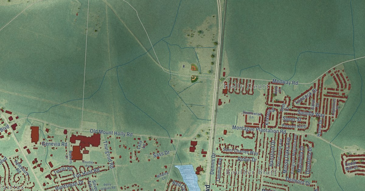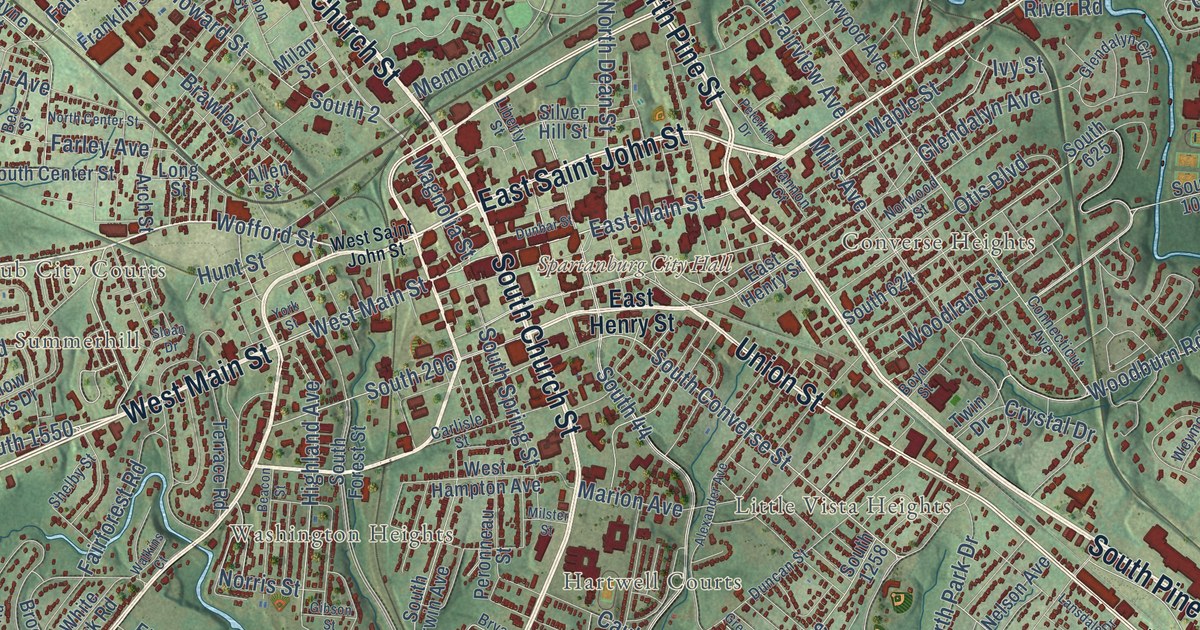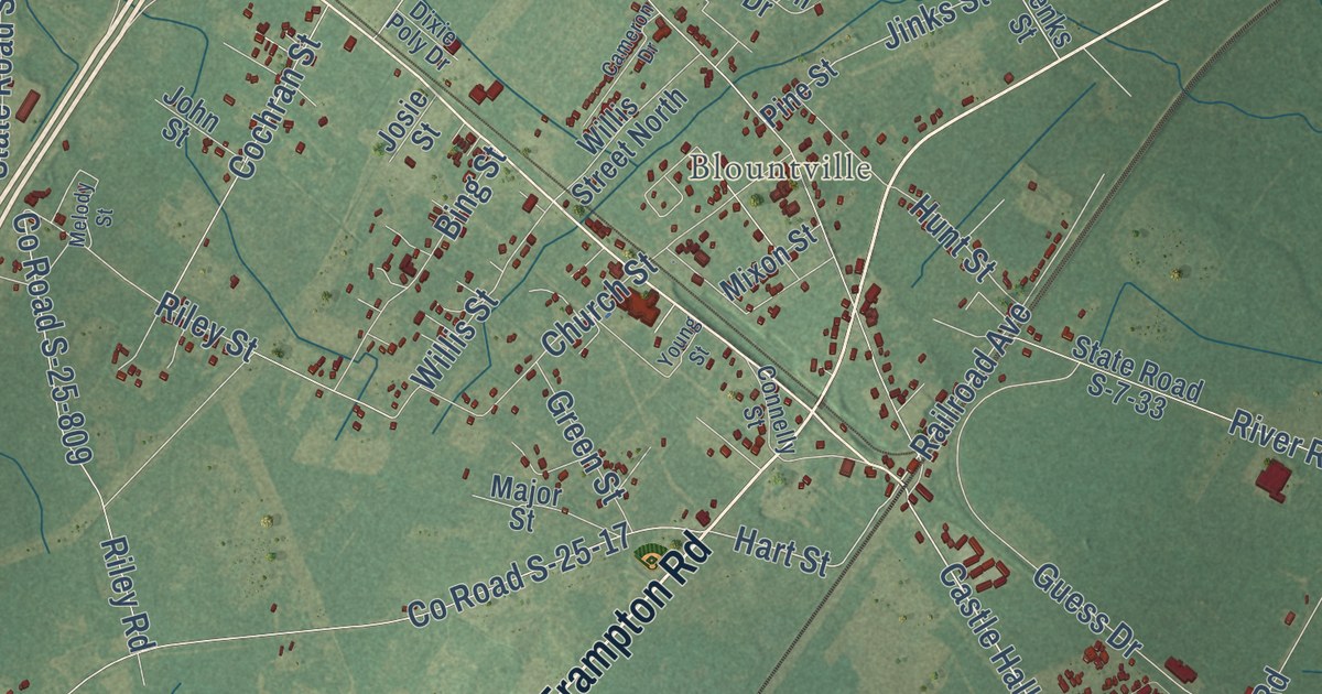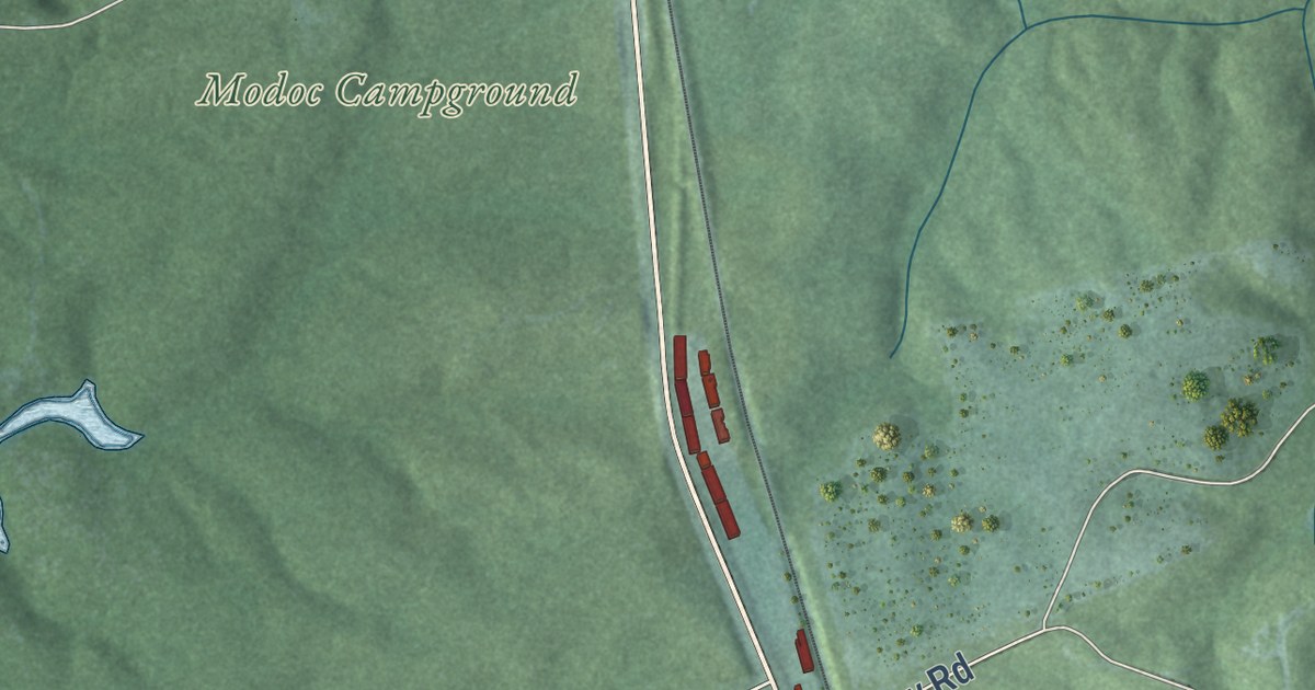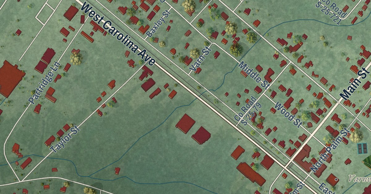
This beautifully detailed map of Varnville, South Carolina was created in 2026 using aerial imagery combined with modern topographical, census, street and landmark data. It’s a one-of-a-kind view of Varnville that combines accurate data with a vintage aesthetic. The map shows every building in its true location, many of the roads carry their names, and the shaded topographic relief shows the shape of the land.
Explore an aerial view of Varnville, South Carolina
On the map you’ll find Varnville Town Hall, along with West Carolina Avenue, East Carolina Avenue, Main Street, Walterboro Highway, East Palmetto Avenue, West Pine Street, Pecan Street, Smith Street, Hickory Hill Road, Cemetery Road, West Palmetto Avenue, and more. If you look closely you can even find your house accurately drawn in its correct location. Zoom in on the preview to look for yours.
Did you know this piece of Varnville, South Carolina history?
From Scencyclopedia.org: "A nursing home in Estill and a mental health center and regional medical center in Varnville augmented the County Health Center begun in a log structure built by the Works Progress Administration in the 1930s."
Take a closer look at the Varnville map
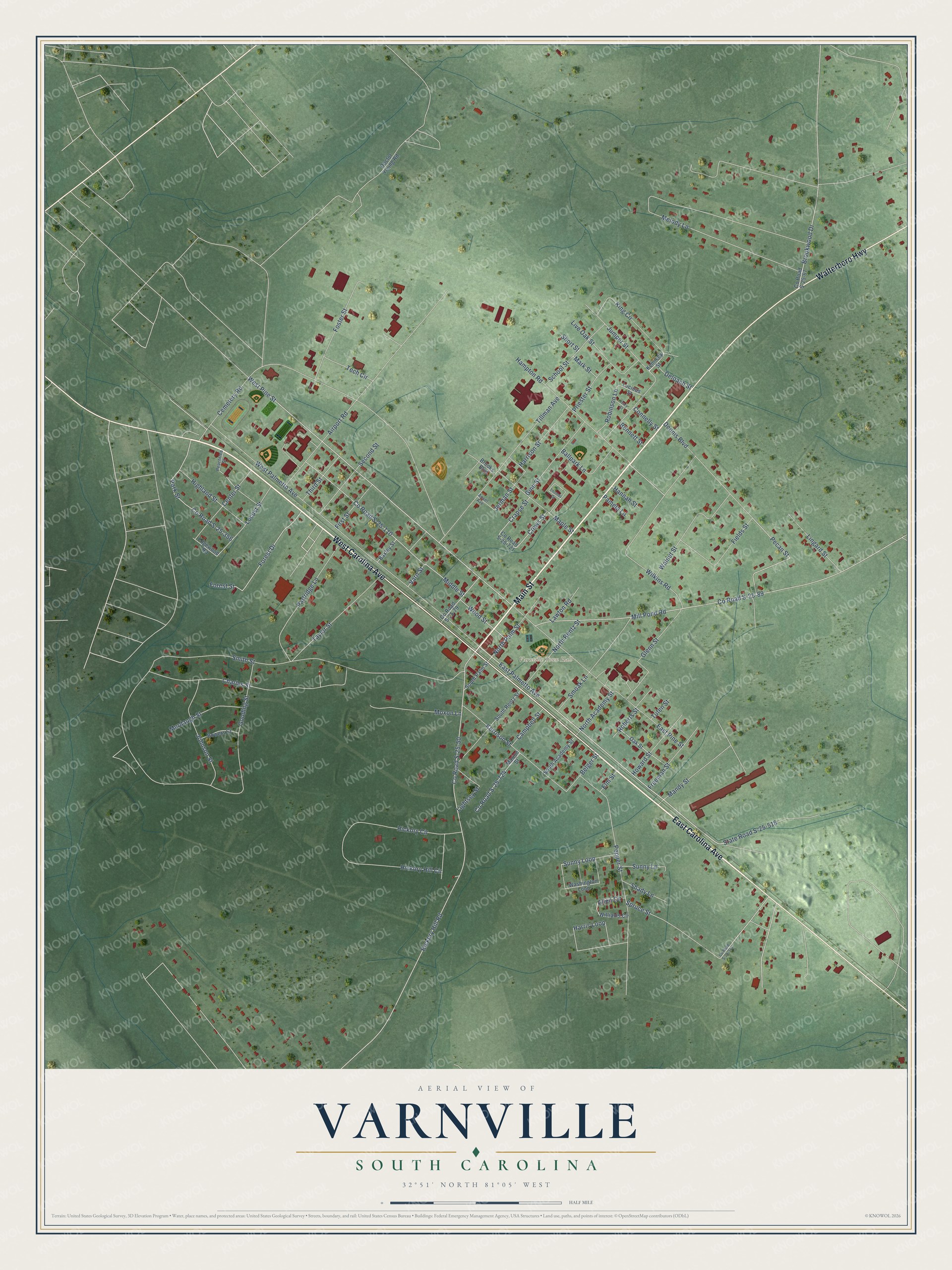
Street and place names on the Varnville, South Carolina map
These names are printed on the map of Varnville, South Carolina.
Places: Varnville Town Hall.
Streets and roads: West Carolina Avenue, East Carolina Avenue, Main Street, Walterboro Highway, East Palmetto Avenue, West Pine Street, Smith Street, Hickory Hill Road, Cemetery Road, West Palmetto Avenue, County Road S-25-50, County Road S-25-89.
More street names, A to Z
Airport Road, Allen Circle, Ansel Avenue, Ballpark Lane, Baxley Street, Belger Street, Bennett Street, Bowers Street, Brooks Boulevard, Brookwood Drive, Campbell Street, Center Street, Charles Street, Connelly Street, County Road S-25-67, County Road S-25-79, County Road S-25-110, County Road S-25-314, County Road S-25-356, County Road S-25-721, County Road S-25-724, Crapse Street, Crews Street, Deloach Street, Dennis Boulevard, Doctor Young Road, East Pine Street, Edgewood Road, Elm Street, Fields Street, First Street, Forest Drive, Forest Street, Foster Street, Freeman Street, Ginn Street, Glenn Street, Gooding Street, Hampton Road, Hannah Street, Harris Loop, Harrison Street, Hickory Circle, Hickory Hill Circle, Highland Street, Howard Street, Ivory Street, Jerman Street, Johnson Street, Jumper Street, Kennedy Street, Kerrison Street, King Circle, Lawton Road, Lightsey Street, Lingard Street, Live Oak Street, Locust Street, Lucious Street, Mandy Street, Maple Street, Marion Street, Mark Street, Melody Lane, Middle Street, Mill Pond Road, Moxon Lane, Murdaugh Street, North Academy Street, North Palm Street, North Rentz Street, Oak Street, Pamela Lane, Park Street, Partridge Lane, Peachtree Street, Pecan Street, Pepper Street, Priester Street, Roberts Street, Robinson Lane, School Street, Second Street, Shady Lane, Short Street, Smoak Lane, South Academy Street, South Palm Street, South Rentz Street, Spruce Street, State Road S-25-518, Sunny Lane, Sunny Loop, Taylor Street, Tech Circle, Third Street, Thomas Drive, Tillman Avenue, Tuten Street, Varn Street, Walnut Street, Washington Loop, Wilkins Road, Williams Circle, Wood Street.
See the Varnville, South Carolina map on a wall
The Varnville map as an 18 x 24 inch print in a black frame.

This beautifully detailed map of Varnville makes an attractive addition to your office, library, or den, and it can even be used to teach children the geography and history of the area. It also makes a great gift for anyone with Varnville roots. When you’re done exploring, click here to get your copy of the Varnville map.