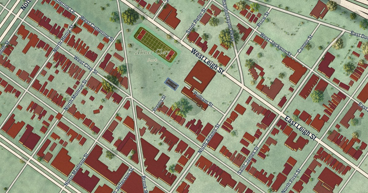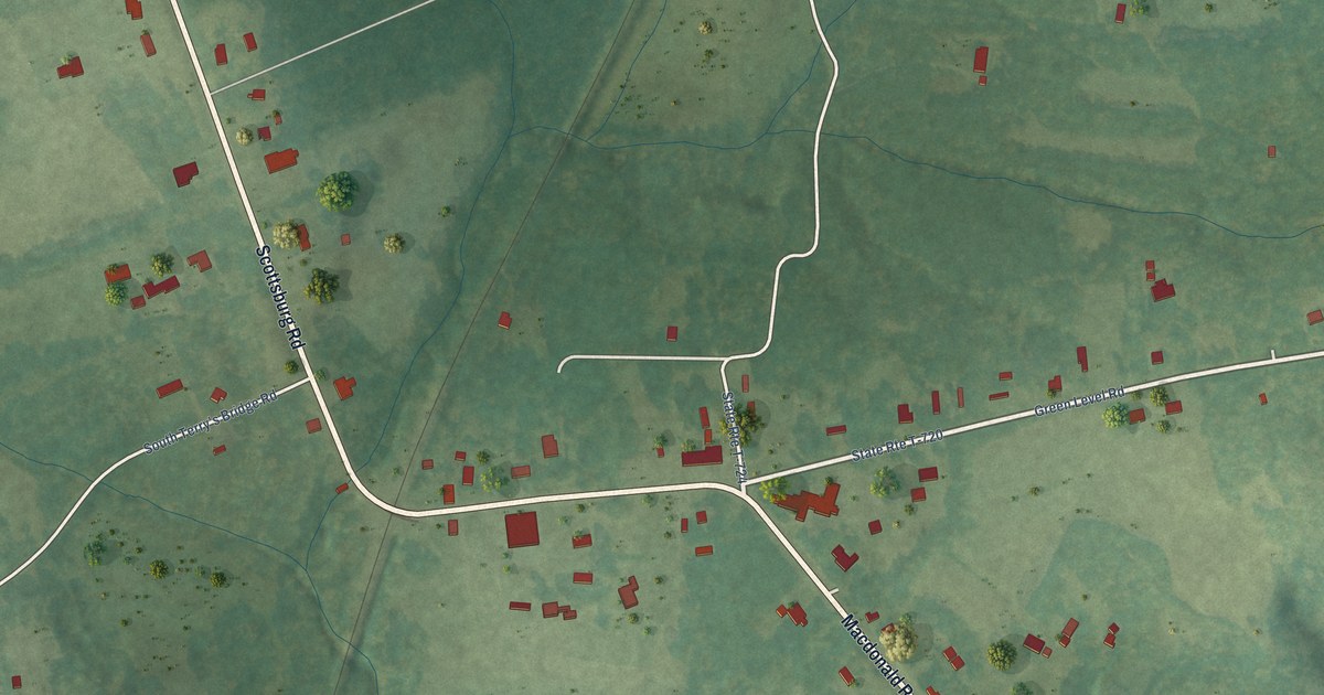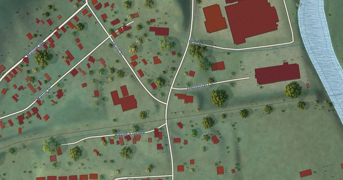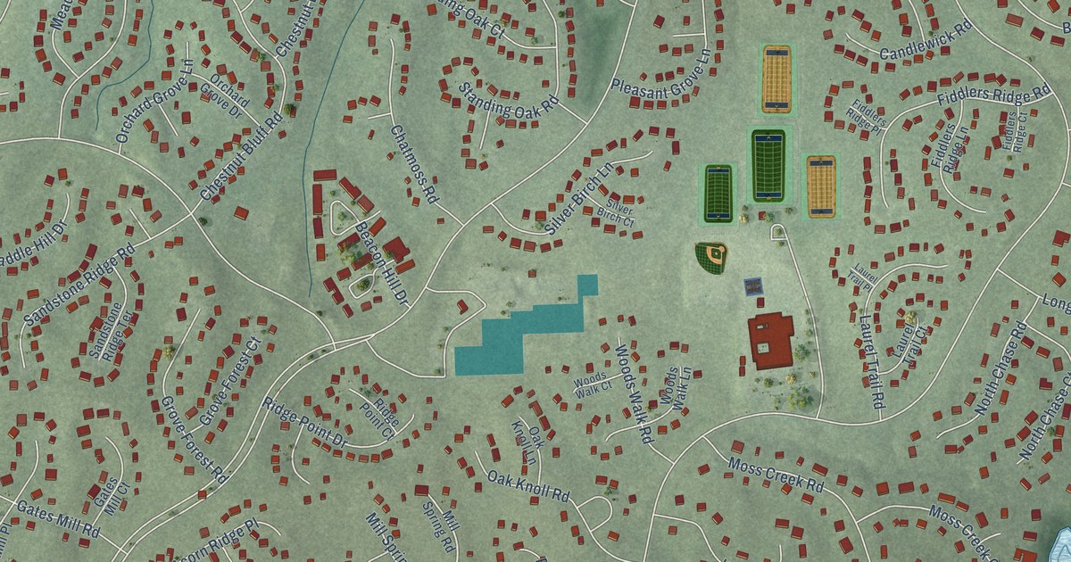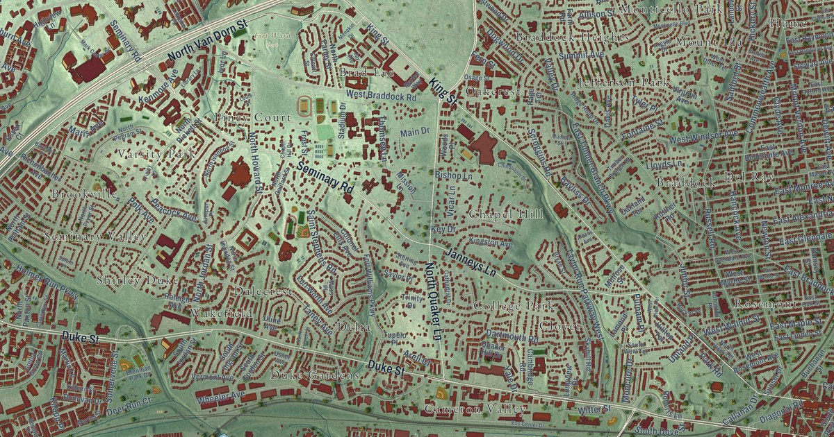
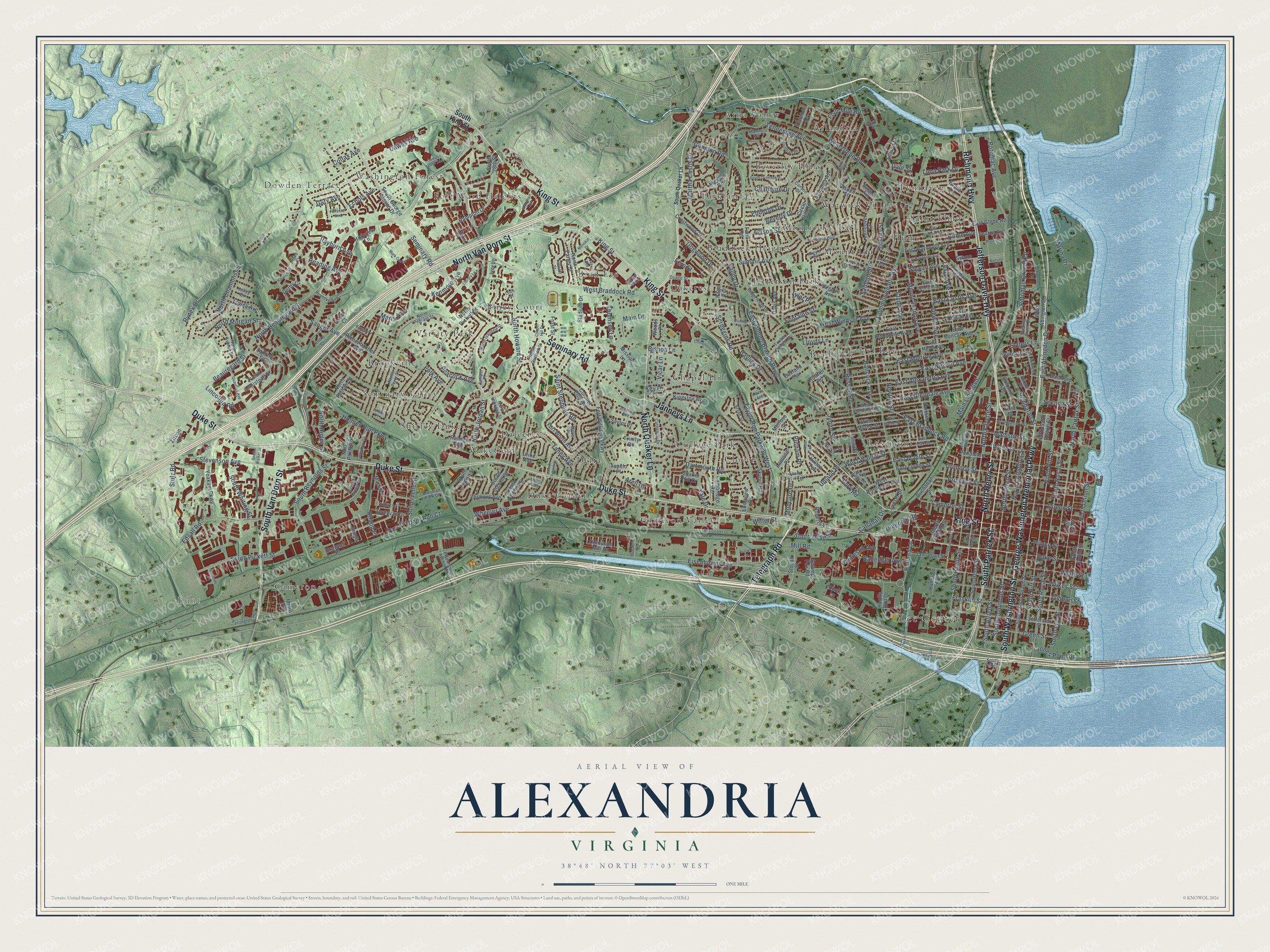
This beautifully detailed map of Alexandria, Virginia was created in 2026 using aerial imagery combined with modern topographical, census, street and landmark data. It’s a one-of-a-kind view of Alexandria that combines accurate data with a vintage aesthetic. The map shows every building in its true location, many of the roads carry their names, and the shaded topographic relief shows the shape of the land.
Explore an aerial view of Alexandria, Virginia
On the map you’ll find Lee Center, Lunt, Fort Ward Park, Arlandria, Arna Valley, Beverley Hills, Brad Lee, Braddock, Braddock Heights, Brookville, Cameron, Cameron Valley, and more. If you look closely you can even find your house accurately drawn in its correct location. Zoom in on the preview to look for yours.
Did you know this piece of Alexandria, Virginia history?
From Vcris.dhr.virginia.gov: "Alfred Street Baptist Church is home to the oldest African American congregation in Alexandria, dating to the early 19th century."
Take a closer look at the Alexandria map
Street and place names on the Alexandria, Virginia map
These names are printed on the map of Alexandria, Virginia.
Places: Lee Center, Lunt, Fort Ward Park, Arlandria, Arna Valley, Beverley Hills, Brad Lee, Braddock, Braddock Heights, Brookville, Cameron, Cameron Valley, Chapel Hill, Clover, College Park, Dalecrest, Del Ray, Delta, Dowden Terrace, Duke Gardens, Fort Ward Heights, Hume, Jefferson Park, Lynhaven, Monticello Park, Mount Ida, Oakcrest, Parkfairfax, Piney Court, Rosemont, Saint Elmo, Seminary Valley, Shirley Duke, Varsity Park, Wakefield, Warwick Village and Washington Forest.
Streets and roads: Seminary Road, North Henry Street, George Washington Memorial Parkway, North Quaker Lane, South Patrick Street, Richmond Highway, Jefferson Davis Highway, North Van Dorn Street, Duke Street, King Street, South Van Dorn Street, South Washington Street.
More street names, A to Z
Alabama Avenue, Albany Avenue, Allison Street, Arell Court, Argyle Drive, Aspen Street, Auburn Court, Avalon Court, Ballenger Avenue, Barrister Place, Bashford Lane, Battery Place, Bayliss Drive, Beauregard Street, Bernard Street, Bessley Place, Beverly Drive, Bishop Lane, Bluestone Road, Brawner Place, Brenman Park Drive, Bruce Street, Bryan Street, Buchanan Street, Burgess Avenue, Burnside Place, Bus Center Drive, Callahan Drive, Cambridge Road, Cameron Street, Campus Lane East, Canterbury Square, Canyon Drive, Carpenter Road, Cathedral Drive, Chalfonte Drive, Chapel Hill Drive, Chinquapin Drive, Circle Hill Road, Clyde Avenue, Colfax Avenue, Colonel Ellis Avenue, Colonial Avenue, Commonwealth Avenue, Crestwood Drive, Dale Street, Dartmouth Road, Davis Avenue, Dawes Avenue, Deer Run Court, Derby Court, Dewitt Avenue, Diagonal Road, Dock Lane, Dogwood Drive, Dominion Mill Drive, Donovan Drive, Doris Drive, Drake Court, East Abingdon Drive, East Alexandria Avenue, East Bellefonte Avenue, East Braddock Road, East Clifford Avenue, East Custis Avenue, East Duncan Avenue, East Glebe Road, East Glendale Avenue, East Howell Avenue, East Linden Street, East Maple Street, East Mason Avenue, East Monroe Avenue, East Myrtle Street, East Nelson Avenue, East Oak Street, East Oxford Avenue, East Randolph Avenue, East Raymond Avenue, East Timber Branch Parkway, Echols Avenue, Edison Street, Edsall Road, Eisenhower Avenue, Eisenhower Avenue Con, Ellicott Street, Enderby Drive, Essex Court, Evans Lane, Farm Road, Farrington Avenue, Fern Street, Finley Lane, First Street, Florence Drive, Fontaine Street, Forrestal Avenue, Fort Williams Parkway, Fort Worth Avenue, Four Mile Road, Franklin Street, Frost Street, Gary Avenue, Gibbon Street, Green Street, Gretna Green Court, Groves Avenue, Gunston Road, Hamilton Avenue, Hampton Drive, Hancock Avenue, Harwich Court, Herbert Street, Hickory Street, Highview Lane, Hilltop Terrace, Holland Lane, Holmes Run Parkway, Hooffs Run Drive, Hume Avenue, Hunting Creek Drive, Ivor Lane, Jamieson Avenue, Jamieson Street, Janneys Lane, Jay Avenue, Jefferson Street, Johnston Place, Jones Point Drive, Junior Street, Juniper Place, Kelley Court, Kenmore Avenue, Key Drive, Kilburn Street, Kingston Avenue, Knapp Place, Knole Court, Lamond Place, Landover Street, Latrobe Place, Leslie Avenue, Library Lane, Lincolnia Road, Lloyds Lane, Longview Drive, Louis Place, Lowell Avenue, Luna Park Drive, Madison Street, Main Drive, Main Line Boulevard, Manor Road, Marina Drive, Maris Avenue, Mark Center Drive, Marlee Way, Martha Custis Drive, Martin Lane, Maskell Street, Melrose Street, Menokin Drive, Metro Road, Michigan Avenue, Mill Road, Mission Lane, Moncure Drive, Montgomery Street, Monticello Boulevard, Moss Place, Mount Vernon Avenue, Murtha Street, Newton Street, Norris Place, North Alfred Street, North Armistead Street, North Ashton Street, North Beauregard Street, North Chambliss Street, North Columbus Street, North Earley Street, North Fairfax Street, North Fayette Street, North French Street, North Gaillard Street, North Howard Street, North Imboden Street, North Ivanhoe Street, North Jordan Street, North Lee Street, North Morgan Street, North Paxton Street, North Pegram Street, North Pelham Street, North Pickett Street, North Pitt Street, North Pryor Street, North Ripley Street, North Royal Street, North Saint Asaph Street, North Union Street, North View Terrace, North West Street, Oakland Terrace, Oronoco Street, Osage Street, Page Terrace, Park Road, Peacock Avenue, Pendleton Street, Polk Avenue, Portner Road, Potomac Avenue, Potomac Greens Drive, Powhatan Street, Preston Road, Princess Street, Prince Street, Pullman Place, Putnam Place, Quaker Hill Drive, Quantrell Avenue, Queen Street, Quincy Street, Raleigh Avenue, Ramsey Street, Randolph Avenue, Rayburn Avenue, Reading Avenue, Richenbacher Avenue, Ridge Road Drive, Roanoke Avenue, Roberts Lane, Rucker Place, Ruffner Road, Russell Road, Rynex Drive, Saint Stephens Road, Sanborn Place, Sanford Street, Sanger Avenue, Saxony Square, Saylor Place, Scroggins Road, Seaton Avenue, Second Street, Skyhill Road, Slaters Lane, Somervelle Street, South 28th Street, South Alfred, South Alfred Street, South Columbus Street, South Dove Street, South Fayette Street, South George Mason Drive, South Gordon Street, South Henry Street, South Ingram Street, South Jordan Street, South King Street, South Lee Street, South Overlook Drive, South Payne Street, South Peyton Street, South Pickett Street, South Pitt Street, South Quaker Lane, South Reynolds Street, South Royal Street, South Saint Asaph Street, South Union Street, South View Terrace, South Walker Street, South West Street, South Whiting Street, Stadium Drive, Sterling Avenue, Stevenson Avenue, Stewart Avenue, Stovall Street, Stulz Road, Summit Avenue, Sunset Drive, Sutton Place, Swamp Fox Road, Swann Avenue, Taney Avenue, Taylor Run Parkway West, Telegraph Road, Tennessee Avenue, Third Street, Thomsen Lane, Timber Branch Drive, Trinity Drive, Tupelo Place, Tyler Place, Uline Avenue, Upland Place, Usher Avenue, Valley Drive, Vermont Avenue, Vicar Lane, Virginia Avenue, Watson Street, West Abington Drive, West Braddock Road, West Glebe Road, West Glendale Avenue, West Myrtle Street, West Rosemont Avenue, West Uhler Terrace, West View Terrace, West Walnut Street, West Windsor Avenue, Wheeler Avenue, Wilkes Street, Witter Street, Wolfe Street, Woods Place, Wyndham Circle, Wythe Street, Yale Drive, Yoakum Parkway, Zircon Drive.
See the Alexandria, Virginia map on a wall
The Alexandria map as an 18 x 24 inch print in a black frame.

This beautifully detailed map of Alexandria makes an attractive addition to your office, library, or den, and it can even be used to teach children the geography and history of the area. It also makes a great gift for someone who left Alexandria and still calls it home. When you’re done exploring, click here to get your copy of the Alexandria map.