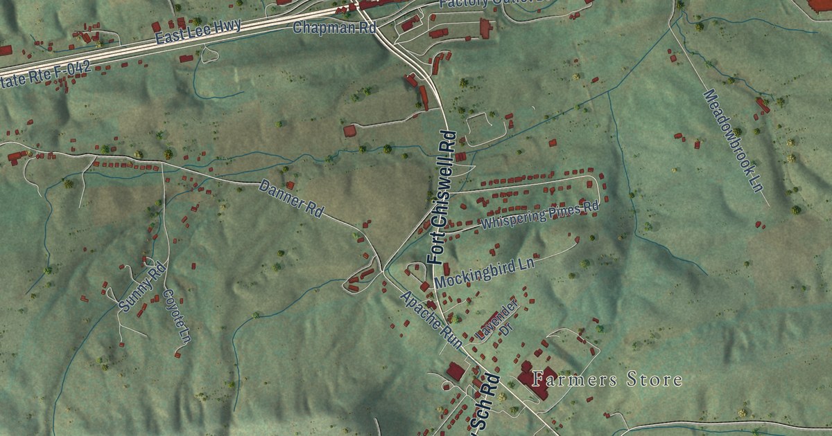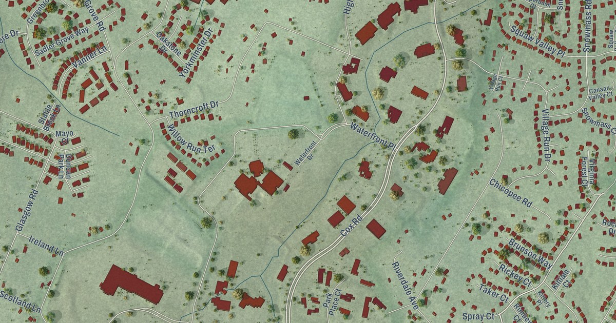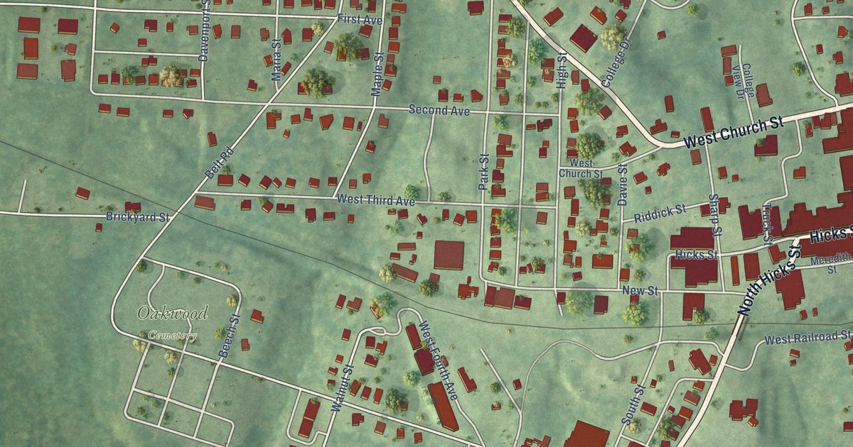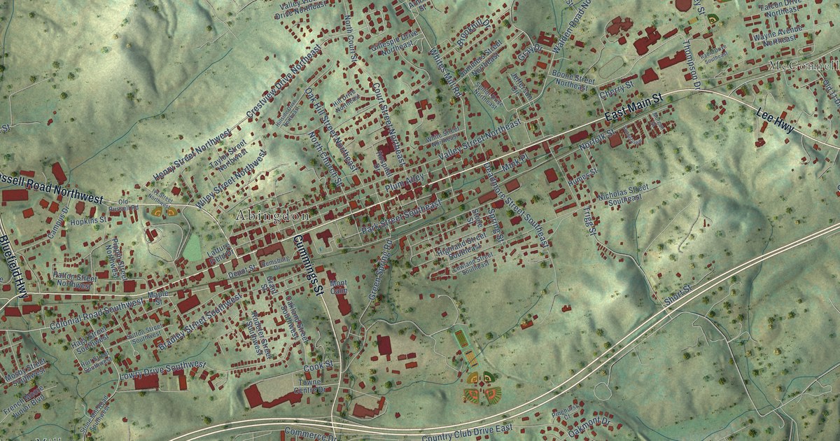
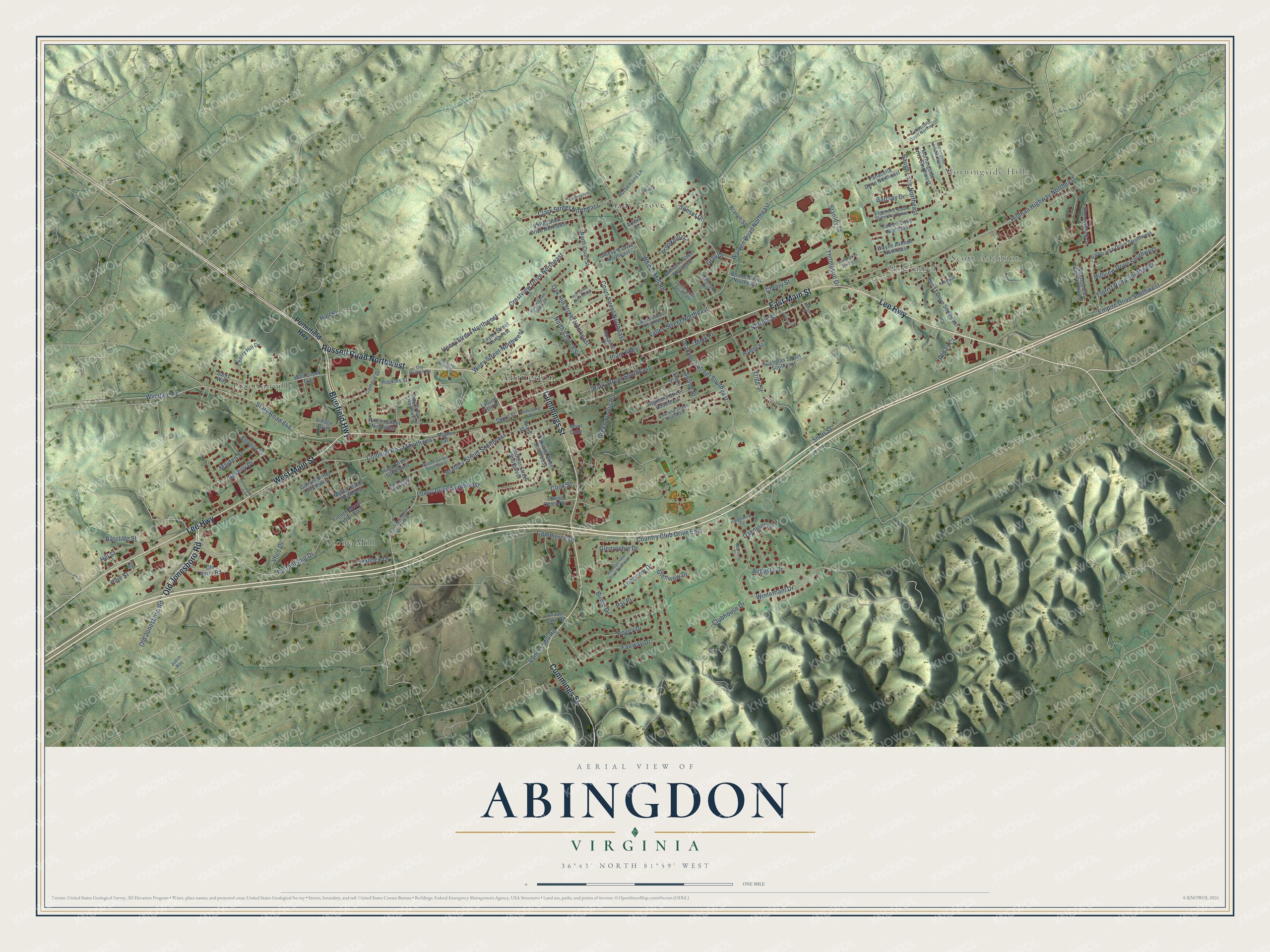
This beautifully detailed map of Abingdon, Virginia was created in 2026 using aerial imagery combined with modern topographical, census, street and landmark data. It’s a one-of-a-kind view of Abingdon that combines accurate data with a vintage aesthetic. The map shows every building in its true location, many of the roads carry their names, and the shaded topographic relief shows the shape of the land.
Explore an aerial view of Abingdon, Virginia
On the map you’ll find Morningside Hills, Scott Addition, McConnell, Fractionville, Shady Grove, and Stone Mill, along with East Main Street, Lee Highway, West Main Street, Cummings Street, Bluefield Highway, and more. If you look closely you can even find your house accurately drawn in its correct location. Zoom in on the preview to look for yours.
Did you know this piece of Abingdon, Virginia history?
An early encounter with a large pack of wolves gave the settlement its first name, Wolf Hills. The animals lived in a cave beneath what became Abingdon. That’s from Lewis Preston Summers’s 1903 History of Southwest Virginia, 1746-1786.
Take a closer look at the Abingdon map
Street and place names on the Abingdon, Virginia map
These names are printed on the map of Abingdon, Virginia.
Places: Abingdon, Morningside Hills, Scott Addition, McConnell, Fractionville, Shady Grove and Stone Mill.
Streets and roads: East Main Street, Lee Highway, West Main Street, Cummings Street, Bluefield Highway, Russell Road Northwest, Old Jonesboro Road, Colonial Road Southwest, Crestview Drive Northeast, Partnership Drive, Henry Street Northwest, Hillman Highway Northeast.
More street names, A to Z
Arnold Street, Augusta Drive, Barclay Drive, Baugh Lane Northeast, Beverly Drive, Birch Street, Birdie Drive, Bogey Drive, Boone Street Northeast, Bradley Street Southwest, Branch Street, Brookhill Drive, Buckingham Court, Campus Drive, Canterbury Lane Southwest, Charwood Drive, Cherry Hill Drive, Cherry Street, Clark Street Northeast, Clubhouse Drive, Commerce Drive, Cook Street, Country Club Drive East, Court Street Northeast, Deadmore Street Southeast, Depot Street, Edgemont North Street Northeast, Edmond Drive, Empire Drive Southwest, Fairway Drive, Falcon Drive Northeast, Florist Road Southwest, French Moore Junior Boulevard, Gillespie Drive Northeast, Gilliam Street Southwest, Glenrochie Drive, Glenview Drive, Grant Street, Gravel Lake Road, Gray Drive, Green Spring Road, Hagy Street Southwest, Hallock Drive, Hall Street, Highland Street Southeast, Hill Drive Northeast, Hillside Drive Northeast, Hill Street, Hillview Drive Southwest, Hopkins Street, Horsemans Lane, Hospital Drive, Humes Street, Hurt Street Southwest, Ivy Street Northwest, Jefferson Circle, Judith Way, Latture Field Drive, Longview Drive, Lowland Street Southeast, Lowry Drive Southwest, Maiden Street, Maple Street, Melrose Street, Mink Place, Mont Calm, Morgan Street, Morningside Drive Southwest, Morningside Lane Northeast, Mosby Street Southwest, Mountain View Drive Southwest, Muirfield Circle, Nicholas Street Southeast, Norfolk Street, North Church Street, North Court Street, Oak Hill Street Northeast, Oakland Street Southwest, Oakmont Drive, Old 11 Court, Old 11 Drive Southeast, Old Berry Road, Old Russell Road, Panacella Drive Northeast, Panorama Drive Southwest, Park Street Southeast, Par Place, Patton Street Northwest, Pinehurst Court, Pine Street, Pippin Street Northwest, Plum Alley, Porterfield Highway, Radio Drive Southeast, Ratcliffe Street, Remsburg Drive, Rodefer Street Southwest, Sams Way, Senior Drive Northeast, Shady Street, Short Street, Spring Street, Stanley Street, State Road 848, Stone Mill Road Southwest, Stone Street, Stoneybrook Drive, Summers Street Northeast, Sunset Drive, Sunsetview, Sutton Street Southwest, Taylor Street Northwest, Thompson Drive, Timberland Court Northeast, Towne Centre Drive, Trigg Street, Valley Street Northeast, Valley View Drive Northeast, Vances Mill Road, Vhcc Drive, Village Boulevard, Walden Road Northeast, Wayne Avenue Northeast, Whites Mill Road, White Street Northeast, Wiley Street Northwest, Winterham Drive, Wolf Creek Trail, Wyndale Road.
See the Abingdon, Virginia map on a wall
The Abingdon map as an 18 x 24 inch print in a black frame.

This beautifully detailed map of Abingdon makes an attractive addition to your office, library, or den, and it can even be used to teach children the geography and history of the area. It also makes a great gift for anyone who grew up in Abingdon or moved away. When you’re done exploring, click here to get your copy of the Abingdon map.